Install
Wellborn, FL Weather
Current conditions
Observed at Suwannee County Airport · 1 hr ago
Forecast
10-day-
Tonight
Clear. Low around 47, with temperatures rising to around 49 overnight. Northeast wind 2 to 8 mph.
-
Wednesday
Sunny. High near 79, with temperatures falling to around 77 in the afternoon. Northeast wind around 6 mph.
-
Wednesday Night
Clear. Low around 50, with temperatures rising to around 52 overnight. North wind around 3 mph.
National Weather Service forecast updated 9 hrs ago.
Hourly
Hourly forecast- Now56°
- 11 PM54°
- Wed12 AM52°
- 1 AM51°
- 2 AM50°
- 3 AM50°
- 4 AM49°
- 5 AM49°
- 6 AM48°
- 7 AM48°
- 8 AM47°
- 9 AM53°
- 10 AM60°
- 11 AM67°
- 12 PM72°
- 1 PM75°
- 2 PM78°
- 3 PM79°
- 4 PM79°
- 5 PM77°
- 6 PM74°
- 7 PM69°
- 8 PM66°
- 9 PM62°
10-day forecast
Details- TodayOct 20Sunny47°77°
- WedOct 21Sunny50°79°
- ThuOct 22Sunny51°78°
- FriOct 23Sunny55°75°
- SatOct 24Sunny55°74°
- SunOct 25Mostly Sunny55°75°
- MonOct 26Sunny54°77°
- TueOct 27Mostly sunny55°79°
- WedOct 28Cloudy62°77°
- ThuOct 29Partly cloudy61°77°
Days after the National Weather Service's seven are MET Norway's outlook, a computer model with no forecaster's review.
Radar
Full mapWeather news in Florida
More weather news-
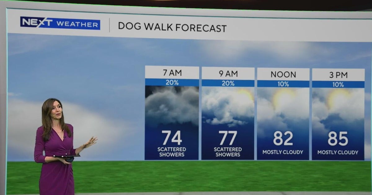 South Florida sees some showers Tuesday, but rain chances rise by end of week
October 20, 2026 / 8:59 AM EDT / CBS Miami Spotty showers were blowing in on the breeze on Tuesday morning in parts of South Florida, with most of the rain rolling in across Miami-Dade. We are also enjoying a taste of…
-
 Fall weather takes hold in Central Florida
ORLANDO, Fla. — Fall is in full swing across Central Florida this week, with afternoon temperatures hovering around 80 degrees and morning lows dipping into the 60s. After a weather system moved completely through the…
-
 Southwest Florida Weather Forecast
WINK News Oct. 20, 2026 | 4 a.m. Currently in Fort Myers Hour by Hour Forecast - Sunshine sticks around as cooler temperatures continue across Southwest Florida - Shark kills woman swimming off South Africa's Eastern…
-
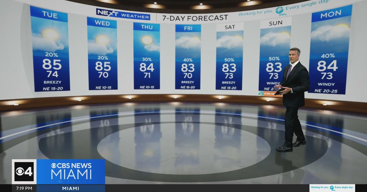 Temperatures lower to the early 80s and late 70s throughout South Florida
CBS News Miami is a local news organization that is part of CBS News and Stations. Also referred to as WFOR-TV and channel 4, CBS News Miami offers local breaking news, weather coverage and investigative reporting…
-
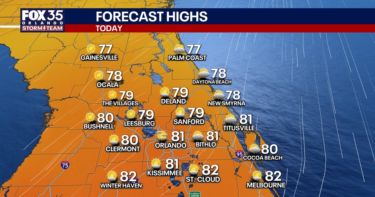 Orlando weather: Sunshine, comfortable weather in Central Florida this week
Expect sunshine and comfortable weather in Central Florida this week. Temperatures will be in the upper 70s and low 80s. FOX 35 Storm Team meteorologist Brooks Garner takes a look at the forecast. ORLANDO, Fla. - A…
-
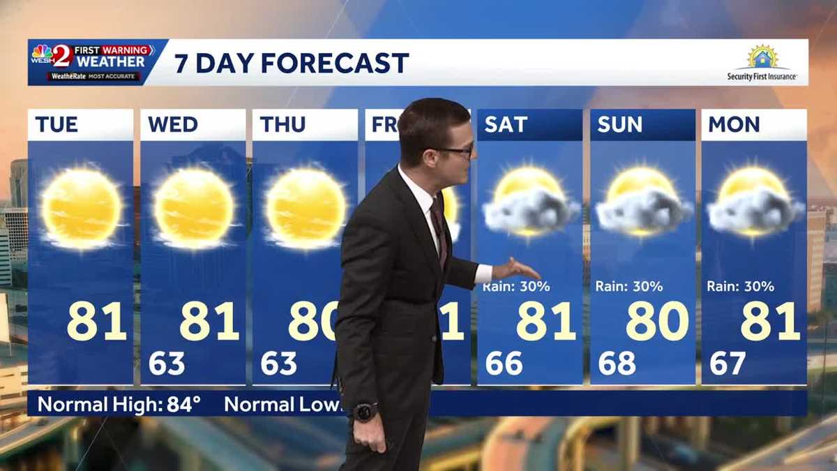 Cool morning temps, sunshine expected across Central Florida
Central Florida is waking up to cooler temperatures Tuesday morning, with comfortable conditions expected to continue throughout the day. Temperatures are starting in the 50s and 60s across much of the region, with some…
-
 ‘Storm-force’ system brings high surf to Florida, flood risk to US East Coast
A “storm-force” low-pressure system is forecast to bring high winds, coastal flooding and dangerous surf along portions of the U.S. East Coast this week, according to the National Hurricane Center. The center of the low…
- Will Invest 93L strengthen into Josephine? What impacts can Florida expect?
A system of low pressure off the east coast of the United States has been designated as Invest 93L, according to the latest advisory from the National Hurricane Center. If the system lingers over the warm Gulf Stream…
- Florida has that fall feeling this week. Check how cool it will get and when
Florida people can tell you when fall has arrived. It’s that time of year when the humidity and temperature drop just enough for us to walk the dog without the sauna feel. The time has come. This week, South Florida is…
-
 Sunshine sticks around as cooler temperatures continue across Southwest Florida
WINK News Weather Authority meteorologists are tracking below normal temperatures and plenty of sunshine as we continue on through the week. Next Three DaysWINK News Weather Authority meteorologists are tracking below…
Air quality
Air quality is satisfactory, and air pollution poses little or no risk.
Forecast
- TueGood
- WedModerate
- ThuModerate
Columbia and Suwannee Counties, FL reporting area · 1 hr ago. Data from AirNow (EPA and its state, local and tribal partners); preliminary and subject to change.
Sun & moon
Almanac
MonthlyLake City 2 E, records since 1892. Normals 1991–2020. Data from NOAA's Regional Climate Centers (ACIS).
Nearby
- Lake City 18 km
- Live Oak 17 km
- High Springs 50 km
- Jasper 34 km
- Watertown 20 km
Forecasters' discussion
From the National Weather Service office in JAX, issued 2 hrs ago
Key Messages
For the latest NE FL and SE GA Daily Key Messages please visit: https:/www.weather.gov/media/jax/briefings/nws-jax-briefing.pdf
- Marine & Coastal Hazards Continue this Week. Dangerous Surf Zone Conditions - High Surf Advisories NE FL Beaches Today. Minor Tidal Flooding Continues Within the St. Johns River Basin. Minor Coastal Flooding Possible Along Portions of the Northeast FL Coast
- Strong Northeasterly Winds Develop Friday Night Along the I-95 Corridor. Moderate Tidal and Coastal Flooding Likely During the Upcoming Weekend. Gale Conditions Possible for the Local Atlantic Waters. Dangerous Surf Zone Conditions with a High Risk for Rip Currents at Area Beaches
- Locally Heavy Rainfall Possible this Weekend for Coastal Northeast FL
Aviation
VFR conditions prevail through the 00Z TAF period.
Decreasing north northeasterly winds around 5 knots inland and 8-10 knots along the coast back northerly tonight into early Wednesday morning. Winds will increase from the north northeast after 15Z Wednesday as high pressure continues to influence from the north while low pressure northeast of the region slowly lifts north off the Mid Atlantic coast through tomorrow evening with a reduced local pressure gradient over the area.
Only few to scattered clouds moving onto the NE FL coastal TAF sites and the duval county terminals Wednesday afternoon with drier air keeping skies clear inland and a few mid to high level clouds at SSI from a passing upper wave.
Marine
A tight pressure gradient between high pressure over the eastern states and a strong low pressure well offshore over the western Atlantic will continue to support hazardous marine conditions across the area waters this week. Rough seas will persist tonight before easing slowly through mid week as the low offshore moves slowly northward. Small craft advisory level conditions will continue into mid to late week. Another surge of Northeast winds to Gale force is expected to develop late Friday and continue into this weekend.
Rip Currents: High risk of rip currents continues much of this week given the elevated surf conditions and onshore flow. Though the high surf advisory will be eventually dropped over the area beaches over the next day or so, elevated surf will continue to be a problem the next few days for any swimmer entering the surf zone. Looking ahead, high surf advisory looks probable again for the weekend as northeast flow increases.
Fire Weather
- Inland Se Ga Rh Falling To Around 30 Percent Wednesday - Patchy High Dispersions Ne Fl Wednesday - Patchy High Dispersions Se Ga And Ne Fl Friday - High Coastal Dispersions Over The Weekend
Onshore flow pattern will continue through the next week. This flow pattern will strengthen over the weekend. Chances for mainly coastal showers will also increase this weekend. With a weaker onshore flow the next few days, drier air will be able to filter into inland areas, where afternoon RH values will fall into the 30s.
FOG POTENTIAL AND OTHER WEATHER REMARKS: Significant fog formation is not expected Tonight.
Forecasts, observations and alerts in the United States come from the National Weather Service (NOAA); radar from NOAA's Multi-Radar Multi-Sensor system; satellite imagery from NASA's Global Imagery Browse Services (GIBS) and NOAA's GOES satellites; the map from the U.S. Geological Survey's National Map; air quality from AirNow (EPA and its partners); hurricane information from the National Hurricane Center; climate normals and records from NOAA's Regional Climate Centers (ACIS). Forecasts outside the United States and the UV index: MET Norway (CC BY 4.0); observations outside the U.S.: airport reports via NOAA's Aviation Weather Center. Place names: GeoNames (CC BY 4.0). Data are copied on a schedule and may lag the sources; for warnings that affect your safety, follow your local National Weather Service office and emergency officials. Weather news is drawn from the 4Search index and reflects what the press published. Terms of use.