Install
North Fort Myers, FL Weather
Current conditions
Observed at Fort Myers, Page Field · 28 min ago
Forecast
10-day-
Monday Night
Mostly clear, with a low around 70. North northeast wind 12 to 18 mph, with gusts as high as 29 mph.
-
Tuesday
Sunny, with a high near 85. Northeast wind 14 to 22 mph, with gusts as high as 31 mph.
-
Tuesday Night
Mostly clear, with a low around 73. Northeast wind 13 to 20 mph, with gusts as high as 29 mph.
National Weather Service forecast updated 15 hrs ago.
Hourly
Hourly forecast- Now81°
- 7 PM80°
- 8 PM77°
- 9 PM76°
- 10 PM74°
- 11 PM73°
- Tue12 AM72°
- 1 AM72°
- 2 AM71°
- 3 AM71°
- 4 AM71°
- 5 AM70°
- 6 AM70°
- 7 AM70°
- 8 AM70°
- 9 AM74°
- 10 AM77°
- 11 AM80°
- 12 PM82°
- 1 PM83°
- 2 PM84°11%
- 3 PM84°11%
- 4 PM85°11%
- 5 PM83°10%
10-day forecast
Details- TonightOct 25Mostly Clear71°
- TodayOct 26Sunny70°85°
- TueOct 27Sunny12%73°85°
- WedOct 28Mostly Sunny then Scattered Rain Showers27%72°86°
- ThuOct 29Mostly Sunny then Scattered Showers And Thunderstorms37%72°87°
- FriOct 30Sunny then Scattered Showers And Thunderstorms28%72°87°
- SatOct 31Sunny then Scattered Showers And Thunderstorms30%70°87°
- SunNov 1Sunny then Isolated Showers And Thunderstorms23%86°
- MonNov 2Partly cloudy69°84°
- TueNov 3Mostly sunny69°85°
Days after the National Weather Service's seven are MET Norway's outlook, a computer model with no forecaster's review.
Radar
Full mapWeather news in Florida
More weather news-
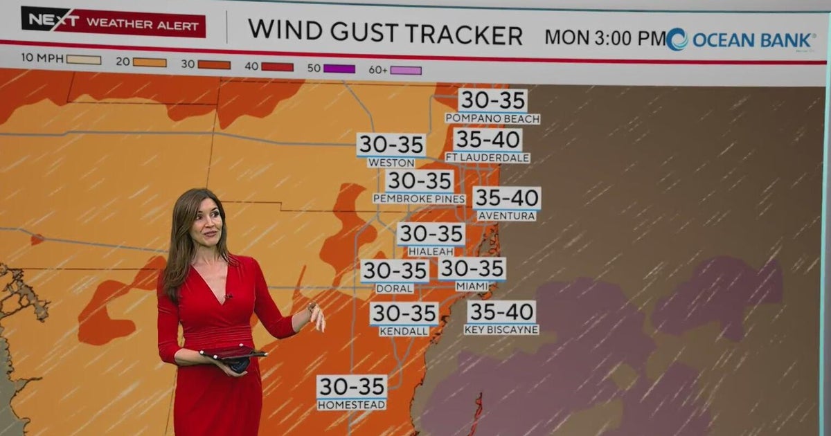 NEXT Weather Alert in effect across South Florida due to king tides, strong winds, heavy downpours
A CBS News Miami NEXT Weather Alert is in effect across South Florida through at least Tuesday due to the combination of king tides, strong onshore winds and heavy downpours. CBS News Miami NEXT Weather meteorologist…
-
 Moving showers, rain chances to continue in Central Florida
A development of onshore moving showers will continue through Sunday, with rain chances ranging between 30% to 70%, according to the National Weather Service of Melbourne. Forecasters reported a possibility of rainfall…
-
 First Alert Weather Forecast: King Tides and NE Winds Bring Coastal Flood Warnings to Florida East Coast Beaches and St. Johns River Basin
GAINESVILLE, Fla. (WCJB) - A strong pressure gradient is bringing gale conditions to the east coast and gusty winds on Sunday to NCFL. The pressure gradient is increasing between an area of high pressure over the…
-
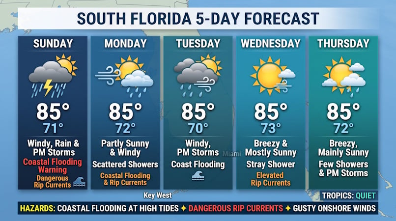 Windy Conditions, Coastal Flooding, and Passing Storms Target South Florida Through Midweek
Donna Thomas has studied hurricanes for two decades. She holds a PhD in history when her experience with Hurricane Andrew ultimately led her to earn a degree in broadcast meteorology from Mississippi State University…
-
 FIRST ALERT | In for another perfect Florida Fall Day, but watch for these risks
WJHG FIRST ALERT | In for another perfect Florida Fall Day, but watch for these risks PANAMA CITY, Fla. (WJHG/WECP) - Low humidity and gusty winds still pose a fire risk continued throughout the weekend. Small Craft…
-
 Buckle Up, Southwest Florida! Windy Days Ahead Before Spotty Storms Return
Southwest Florida is heading into a windy stretch to start the week, with gusts potentially topping 35 mph Sunday and Monday. Temperatures will remain near normal, while a few showers are possible Sunday before…
-
 Talking the Tropics w/Mike: Low pressure to form east of Florida next week
104.5 WOKV The Atlantic hurricane season is June 1st through Nov. 30th. The peak of the season is September 10th. Strong wind shear has dominated much of the Atlantic Basin - especially south of about 20 degrees N. This…
-
 First Alert Weather: Local nor’easter continues with strong winds and a few showers today
Here’s what the First Alert Weather Team said you can expect for the forecast: Tracking the Tropics: Sunday, October 25, 2026 First Alert Meteorologist Sarah Cantey is tracking the tropics on Sunday, October 25, 2026…
-
 Low-pressure center brings strong winds and rain to central Florida
The wind today could gust to more than 30 mph across central Florida and up to 45 mph along the coast. These numbers will only increase on Sunday and Monday, when Orlando could have winds around 45 mph, and we could see…
-
 Hottest Mays in Georgia since 1895
Stacker compiled a ranking of the hottest Mays in Georgia since 1895 using data from the National Centers for Environmental Information. Rankings are based on the highest average temperature in each month. For each of…
Air quality
Air quality is satisfactory, and air pollution poses little or no risk.
Forecast
- MonGood
- TueGood
- WedGood
Fort Myers, FL reporting area · 2 hrs ago. Data from AirNow (EPA and its state, local and tribal partners); preliminary and subject to change.
Sun & moon
Almanac
MonthlyFort Myers Page Field Ap, records since 1892. Normals 1991–2020. Data from NOAA's Regional Climate Centers (ACIS).
Nearby
- Cape Coral 14 km
- Lehigh Acres 26 km
- Fort Myers 6 km
- North Port 55 km
- Port Charlotte 40 km
- Bonita Springs 38 km
- Estero 27 km
- Immokalee 54 km
- Golden Gate 56 km
- East Naples 60 km
- Naples 59 km
- Punta Gorda Isles 34 km
Forecasters' discussion
From the National Weather Service office in TBW, issued 4 hrs ago
Key Messages
- Hazardous marine conditions across the coastal waters will continue into mid week.
- Breezy areawide with a slight chance of showers.
Discussion
Issued at 154 PM EDT Mon Oct 26 2026
The forecast is starting to sound like a broken record. Pinned between high pressure to our north and a stalled boundary to our south, we can expect these breezy, gusty conditions to stick around most of the week. A few isolated showers could drift over from the east coast towards the west coast today and tomorrow. Overall, the chances remain relatively low for the forecast area.
By mid week the pattern will slightly shift as the boundary to the south begins to drift north. This will allow for a little extra shower coverage, especially inland and over SWFL. Unfortunately, with that added moisture also brings higher humidity, making conditions a little less comfortable. This pattern will persist into the weekend. Warm and breezy with a chance for isolated to scattered showers and possible storms each afternoon.
Aviation
(18Z TAFS) Issued at 154 PM EDT Mon Oct 26 2026
VFR conditions prevail through the period. Gusty east to northeast winds persist over the next few days. Periods of cloudiness and a few isolated showers are possible this afternoon
Marine
Issued at 154 PM EDT Mon Oct 26 2026
Hazardous marine conditions continue through the period as winds and seas remain elevated. Later in the week, winds will begin to decrease to cautionary levels, before diminishing further by the weekend. Lower than usual tides are also expected with the persistent offshore flow.
Forecasts, observations and alerts in the United States come from the National Weather Service (NOAA); radar from NOAA's Multi-Radar Multi-Sensor system; satellite imagery from NASA's Global Imagery Browse Services (GIBS) and NOAA's GOES satellites; the map from the U.S. Geological Survey's National Map; air quality from AirNow (EPA and its partners); hurricane information from the National Hurricane Center; climate normals and records from NOAA's Regional Climate Centers (ACIS). Forecasts outside the United States and the UV index: MET Norway (CC BY 4.0); observations outside the U.S.: airport reports via NOAA's Aviation Weather Center. Place names: GeoNames (CC BY 4.0). Data are copied on a schedule and may lag the sources; for warnings that affect your safety, follow your local National Weather Service office and emergency officials. Weather news is drawn from the 4Search index and reflects what the press published. Terms of use. How to use Weather