Install
New Port Richey, FL Weather
Current conditions
Observed at Clearwater Air Park · 52 min ago
Forecast
10-day-
Overnight
Mostly clear, with a low around 67. North northeast wind around 10 mph, with gusts as high as 21 mph.
-
Monday
Sunny, with a high near 82. Northeast wind 12 to 16 mph, with gusts as high as 26 mph.
-
Monday Night
Partly cloudy, with a low around 65. Northeast wind 8 to 15 mph, with gusts as high as 26 mph.
National Weather Service forecast updated 2 hrs ago.
Hourly
Hourly forecast- Now67°
- 6 AM67°
- 7 AM67°
- 8 AM67°
- 9 AM70°
- 10 AM74°
- 11 AM77°
- 12 PM80°
- 1 PM81°
- 2 PM82°
- 3 PM82°
- 4 PM82°
- 5 PM81°
- 6 PM79°
- 7 PM77°
- 8 PM73°
- 9 PM72°
- 10 PM70°
- 11 PM69°
- Tue12 AM68°
- 1 AM67°
- 2 AM66°
- 3 AM66°
- 4 AM65°
10-day forecast
Details- TonightOct 25Mostly Clear67°
- TodayOct 26Sunny65°82°
- TueOct 27Mostly Sunny67°83°
- WedOct 28Sunny69°83°
- ThuOct 29Mostly Sunny12%68°84°
- FriOct 30Sunny13%67°84°
- SatOct 31Mostly Sunny then Isolated Showers And Thunderstorms16%66°84°
- SunNov 1Sunny14%82°
- MonNov 2Mostly sunny0.03 in69°81°
- TueNov 3Cloudy69°81°
Days after the National Weather Service's seven are MET Norway's outlook, a computer model with no forecaster's review.
Radar
Full mapWeather news near New Port Richey
More weather news- Tampa Basks in Sunshine as Northeast Winds Rough Up Bay Boaters
Saturday night stays mostly clear, with temperatures dipping to around 68 degrees. According to the National Weather Service Tampa Bay office, Sunday will be mostly sunny and warmer near 84 degrees, but northeast winds…
-
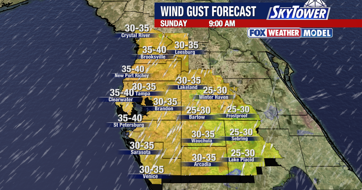 Tampa weather: Windy weekend in store for Bay Area
FOX 13 Meteorologist Dave Osterberg says Friday will be mostly sunny with winds picking up and a high temperature of 82 degrees. TAMPA, Fla. - It is a hold onto your hat windy kind of weekend in Central Florida. A Small…
- Tampa Weather: Sunny Thursday, Strong Weekend Winds
The weekend forecast is warm but increasingly windy, with gusts potentially reaching 31 mph Sunday. Before then, Tampa gets one more sunny day Thursday: skies will stay clear, rain is not expected, and temperatures will…
-
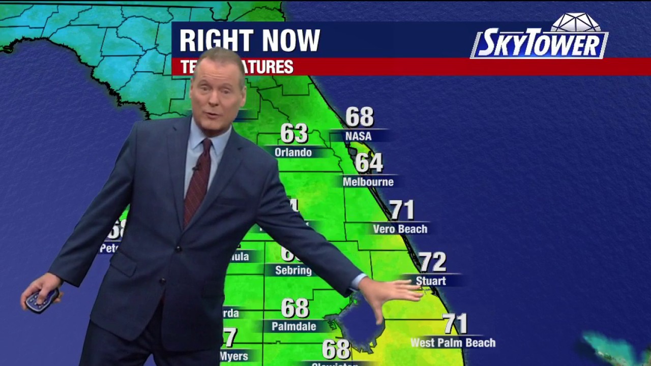 Tampa weather | Thursday morning forecast
FOX 13 Tampa Bay FOX 13 Meteorologist Dave Osterberg says Thursday will be breezy and pleasant with tons of sun and a high temperature of 82 degrees.
-
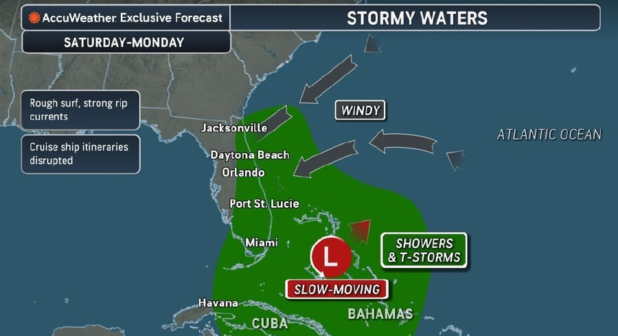 Rough Seas, Dangerous Rip Currents Threaten Florida Coast Ahead Of Possible Tropical Development
Persistent onshore winds and a slow-moving area of low pressure near the Bahamas are expected to bring hazardous surf, strong rip currents, and marine travel disruptions along Florida’s Atlantic coast starting this…
-
 Thanksgiving weather forecast: What to expect in Tampa Bay?
Afternoon high temperatures average around 79°F to 80°F, while morning lows drop to around 61°F. November is historically one of the driest months of the year for the region, averaging just over 1 inch of rain for the…
- Tampa Basks in Sunny Fall Stretch Before Weekend Winds Whip In
The comfortable pattern continues Thursday, when Tampa should reach about 79 degrees under sunny skies. Overnight lows will dip to around 60, giving early risers another taste of the cooler, drier air that has settled…
-
 Forecast: Another amazing weather day
TAMPA — Good Wednesday Tampa Bay! It is another lovely day here in Tampa Bay with temps in the upper 70s and low 80s. Mostly sunny skies dominate throughout the day today. Light northerly winds will drop overnight lows…
-
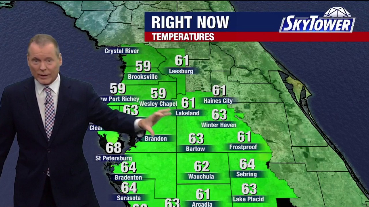 Tampa weather | Wednesday morning forecast
FOX 13 Tampa Bay FOX 13 Meteorologist Dave Osterberg says Wednesday will be mostly sunny, breezy and nice with a high temperature of 83 degrees.
-
 40 days left until end of hurricane season
FOX 13 Tampa Bay With 40 days left in the hurricane season, FOX 13 Meteorologist Jim Weber breaks down how the season's predicted activity compares to the reality of the season so far.
Air quality
Air quality is satisfactory, and air pollution poses little or no risk.
Forecast
- MonGood
- TueGood
- WedGood
Holiday, FL reporting area · 1 hr ago. Data from AirNow (EPA and its state, local and tribal partners); preliminary and subject to change.
Sun & moon
Almanac
MonthlyTarpon Spgs Sewage Pl, records since 1892. Normals 1991–2020. Data from NOAA's Regional Climate Centers (ACIS).
Nearby
- Tampa 42 km
- St. Petersburg 53 km
- Clearwater 32 km
- Brandon 54 km
- Spring Hill 32 km
- Largo 38 km
- Town 'n' Country 29 km
- Riverview 57 km
- Palm Harbor 19 km
- Pinellas Park 45 km
- Wesley Chapel 38 km
- University 33 km
Forecasters' discussion
From the National Weather Service office in TBW, issued 2 hrs ago
Key Messages
- Hazardous marine conditions across the coastal waters will continue into mid week.
- Breezy areawide with a slight chance of showers mainly across the interior and southwest Florida.
Discussion
Issued at 330 AM EDT Mon Oct 26 2026
U/A analysis courtesy of morning W/V imagery shows a sharp C/E U.S. ridge and deep E Seaboard/W Atlantic trough extending south to a cut-off low over Cuba and The Bahamas. At the surface, high pressure over much of the E U.S. ridges south into the area north of a boundary/surface trough over The Bahamas. Resulting low- to mid-level E/NE flow continues to advect Atlantic moisture over the peninsula, with low clouds and showers/sprinkles occasionally working across the peninsula into W FL areas leading to generally isolated shower coverage today and Tuesday. Tightened gradient in place with the setup will continue breezy conditions, with gusts upwards of 25-30 mph over the next few afternoons.
U/L pattern shifts a bit into mid week, with the ridge axis shifting east and re-orienting north of FL as the E Seaboard/W Atlantic troughing fills and lifts northeast, leaving the cut-off low near Cuba/The Bahamas and gradually filling. E/NE moisture fetch off the Atlantic into the peninsula lengthens in response to the re-positioned ridge axis, leading to PWATs climbing to 1.5-2 inches area wide on Wed-Thu with isolated to scattered rain chances gradually expanding westward from the interior into areas closer to the coast, particularly along/south of I-4. Dew points climb into the mid/upper 60s to lower/mid 70s over the latter half of the week accompanying the uptick in rain chances, while winds remain breezy out of the E/NE, although not as elevated as during the early-week period. Overall conditions then hold into the weekend with isolated to scattered showers and perhaps a few thunderstorms each afternoon, with highest chances favoring areas away from immediate coastal locations. Temps will run within a few degrees of normal over the next few days before warming to above normal over the latter half of the week, into the mid 60s/lower 70s for morning lows and the mid/upper 80s for afternoon highs.
Aviation
(06Z TAFS) Issued at 138 AM EDT Mon Oct 26 2026
Mainly VFR with continued breezy to gusty E/NE flow across terminals with Atlantic moisture streaming west across the peninsula bringing periods of cloudiness and shower chances.
Marine
Issued at 330 AM EDT Mon Oct 26 2026
Strong winds and rough seas will keep hazardous marine conditions across the coastal waters into mid week, with near-gale force wind gusts through this evening. Small craft operators should remain in port until conditions improve later in the week. The persistent offshore wind flow will also cause tides to run below astronomical levels through much of the week.
Forecasts, observations and alerts in the United States come from the National Weather Service (NOAA); radar from NOAA's Multi-Radar Multi-Sensor system; satellite imagery from NASA's Global Imagery Browse Services (GIBS) and NOAA's GOES satellites; the map from the U.S. Geological Survey's National Map; air quality from AirNow (EPA and its partners); hurricane information from the National Hurricane Center; climate normals and records from NOAA's Regional Climate Centers (ACIS). Forecasts outside the United States and the UV index: MET Norway (CC BY 4.0); observations outside the U.S.: airport reports via NOAA's Aviation Weather Center. Place names: GeoNames (CC BY 4.0). Data are copied on a schedule and may lag the sources; for warnings that affect your safety, follow your local National Weather Service office and emergency officials. Weather news is drawn from the 4Search index and reflects what the press published. Terms of use. How to use Weather