Install
Leisure City, FL Weather
Current conditions
Observed at Homestead Air Reserve Base · 1 hr ago
Forecast
10-day-
This Afternoon
Showers and thunderstorms likely. Partly sunny, with a high near 84. Northeast wind 15 to 18 mph, with gusts as high as 30 mph. Chance of precipitation is 70%. New rainfall amounts between a tenth and quarter of an inch possible.
-
Tonight
A chance of showers and thunderstorms before 8pm, then showers and thunderstorms likely between 8pm and 11pm, then a chance of showers and thunderstorms between 11pm and 2am, then a chance of showers and thunderstorms. Partly cloudy, with a low around 73. North wind 10 to 18 mph, with gusts as high as 30 mph. Chance of precipitation is 60%. New rainfall amounts between a quarter and half of an inch possible.
-
Monday
A chance of showers and thunderstorms before 8am, then a chance of showers and thunderstorms between 8am and 10am, then showers and thunderstorms likely between 10am and 11am, then a chance of showers and thunderstorms between 11am and 1pm, then showers and thunderstorms likely. Mostly sunny, with a high near 83. Northeast wind 15 to 23 mph, with gusts as high as 36 mph. Chance of precipitation is 70%. New rainfall amounts between a quarter and half of an inch possible.
National Weather Service forecast updated 6 hrs ago.
Hourly
Hourly forecast- Now82°61%
- 3 PM82°72%
- 4 PM81°64%
- 5 PM82°56%
- 6 PM79°52%
- 7 PM78°48%
- 8 PM78°61%
- 9 PM76°63%
- 10 PM75°57%
- 11 PM75°52%
- Mon12 AM74°51%
- 1 AM74°51%
- 2 AM74°31%
- 3 AM74°30%
- 4 AM74°31%
- 5 AM74°39%
- 6 AM73°53%
- 7 AM73°54%
- 8 AM74°35%
- 9 AM76°43%
- 10 AM78°66%
- 11 AM79°43%
- 12 PM81°51%
- 1 PM81°55%
10-day forecast
Details- TodayOct 25Showers And Thunderstorms Likely72%73°84°
- MonOct 26Chance Showers And Thunderstorms66%73°83°
- TueOct 27Showers And Thunderstorms Likely59%74°84°
- WedOct 28Chance Rain Showers44%74°86°
- ThuOct 29Chance Rain Showers42%74°86°
- FriOct 30Chance Showers And Thunderstorms31%74°86°
- SatOct 31Chance Rain Showers32%73°86°
- SunNov 1Light showers0.21 in73°85°
- MonNov 2Cloudy72°85°
- TueNov 3Light showers0.04 in72°84°
Days after the National Weather Service's seven are MET Norway's outlook, a computer model with no forecaster's review.
Radar
Full mapWeather news near Leisure City
More weather news-
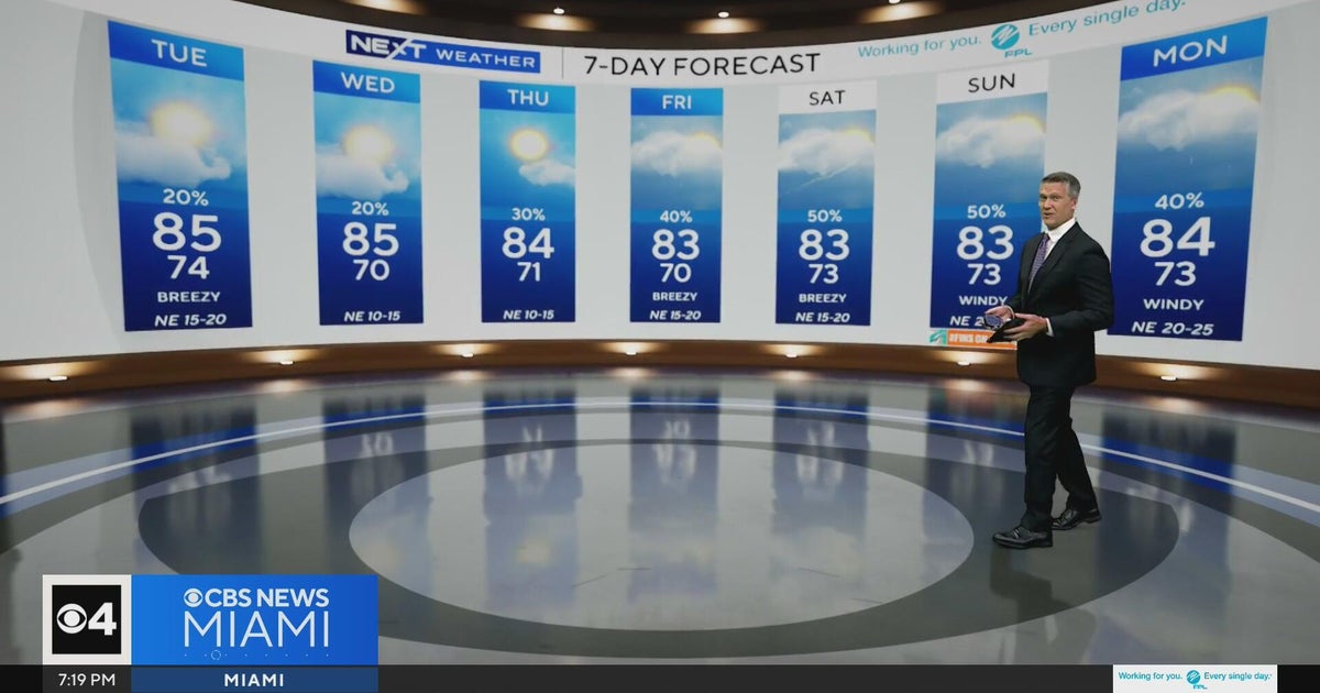 Temperatures lower to the early 80s and late 70s throughout South Florida
CBS News Miami is a local news organization that is part of CBS News and Stations. Also referred to as WFOR-TV and channel 4, CBS News Miami offers local breaking news, weather coverage and investigative reporting…
-
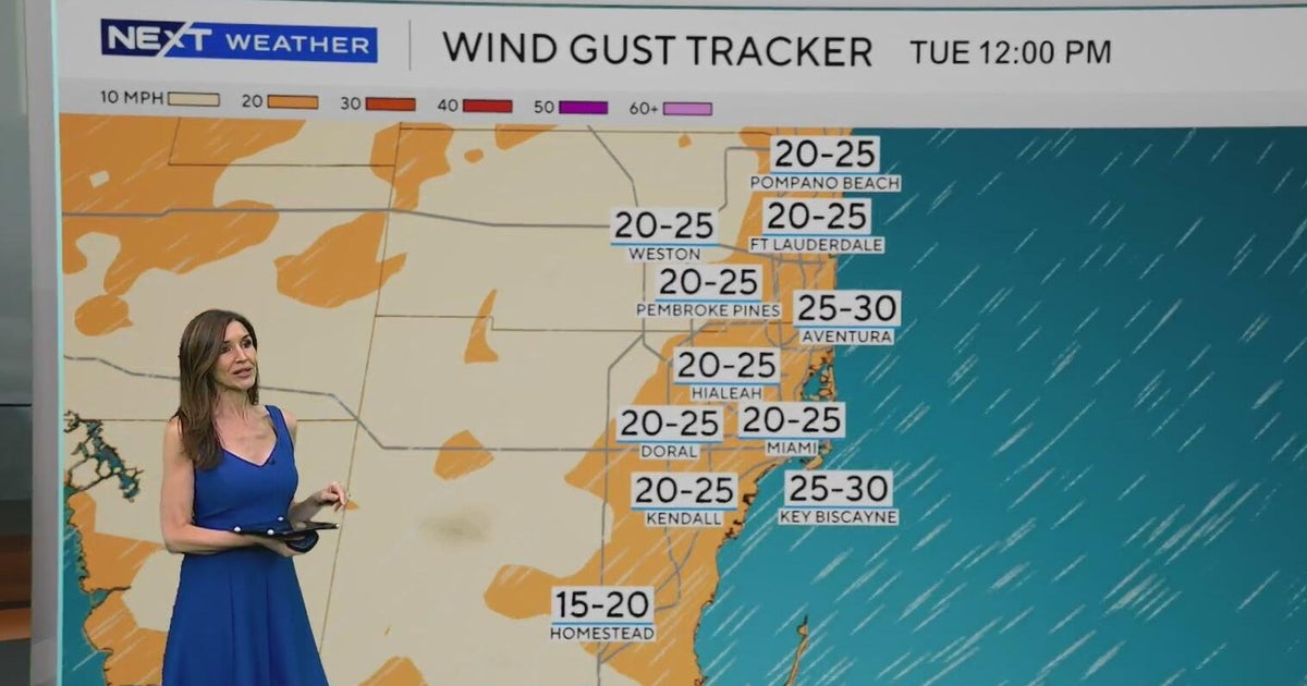 Windy, drier week ahead of taste of fall South Florida style
October 19, 2026 / 11:06 AM EDT / CBS Miami It's expected to be a windy but dry week across South Florida ahead of an enjoyable taste of fall with some pleasant mornings starting on Tuesday. As a frontal boundary stalls…
-
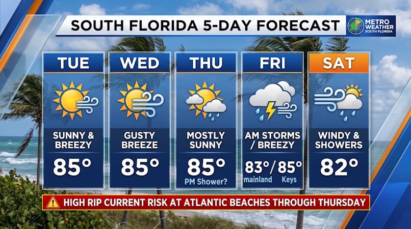 South Florida Forecast: Breezy Sun, Mid-80s Warmth, and Dangerous Atlantic Rip Currents
Donna Thomas has studied hurricanes for two decades. She holds a PhD in history when her experience with Hurricane Andrew ultimately led her to earn a degree in broadcast meteorology from Mississippi State University…
-
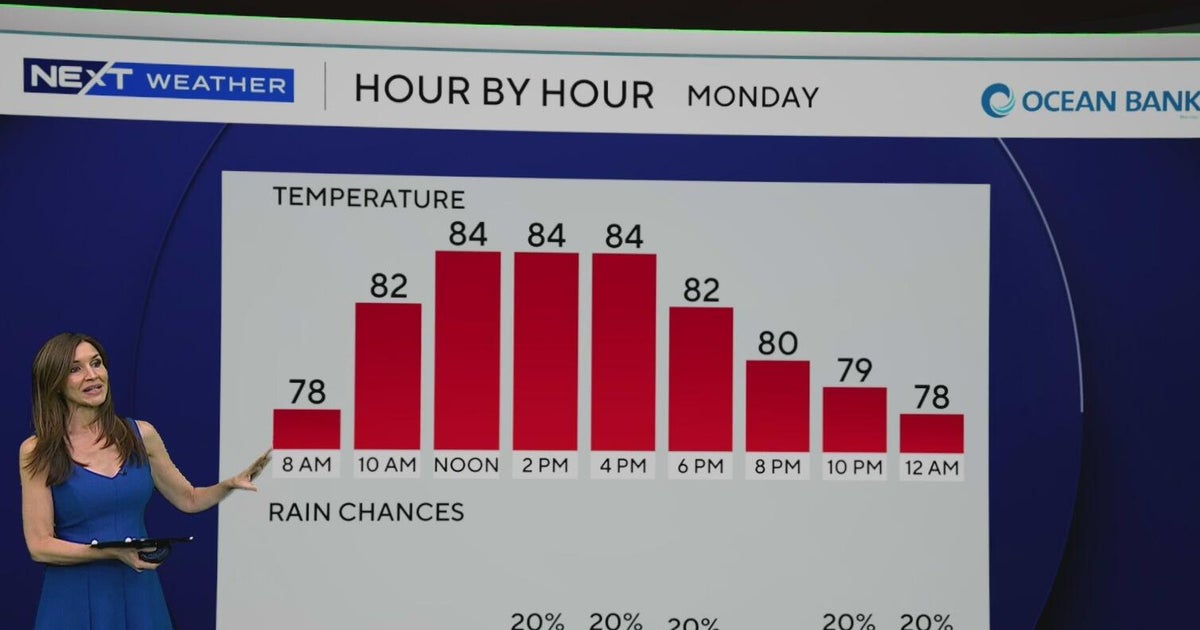 South Florida to see lower rain chances, cooler temperatures this week
CBS News Baltimore 8am CBS News Boston 8am CBS News Chicago 7am CBS News Colorado This Morning 6am CBS News Los Angeles Mornings 5am CBS News Miami 8am CBS News New York 8am CBS News Texas 7am
-
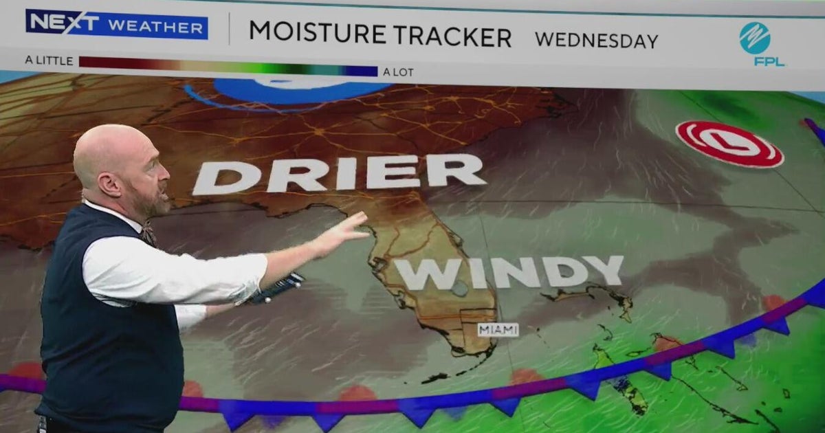 Sunny, drier weather ahead for South Florida
CBS News Bay Area Evening Edition Weekend 5pm CBS News Detroit Weekend 6:30pm CBS News Miami 6:30pm CBS Philadelphia at 6:30pm CBS13 News Weekend 5pm CBS News Texas 5:30pm
-
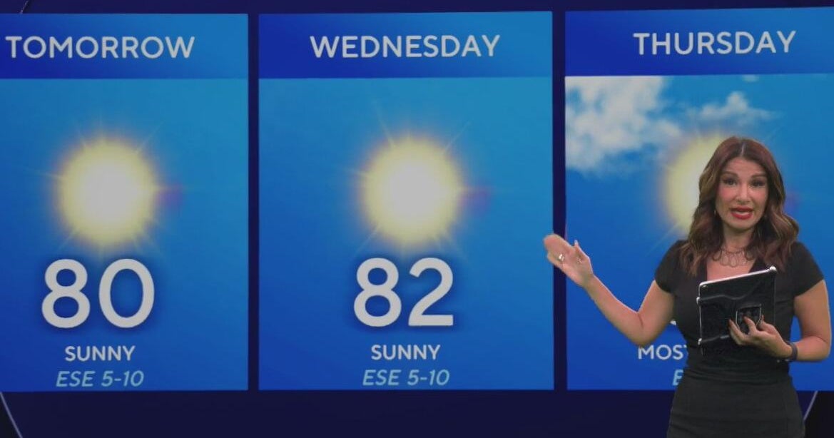 Beautiful stretch of weather continues across North Texas
The Takeout with Major Garrett CBS News Chicago 4pm CBS News Detroit 5pm CBS News Miami 5pm The 4 from WCCO News CBS News New York 5pm CBS News Philadelphia 5pm CBS News Texas at 4pm
-
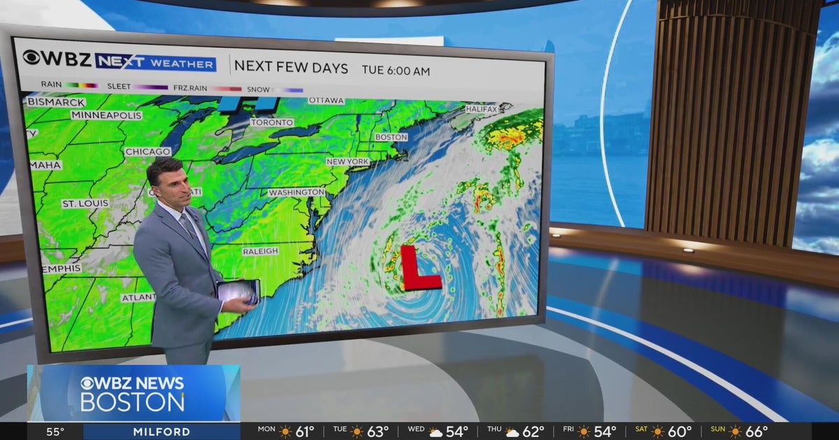 Next Weather: WBZ evening forecast for October 19, 2026
The Takeout with Major Garrett CBS News Chicago 4pm CBS News Detroit 5pm CBS News Miami 5pm The 4 from WCCO News CBS News New York 5pm CBS News Philadelphia 5pm CBS News Texas at 4pm
- Has fall arrived in South Florida? Temperatures dropping — but there’s a risk
It’s feeling more like fall in South Florida. Dropping temperatures. A breeze. Less humidity. This week is shaping up to give us a break from the summerlike sweat. After high temperatures on Monday top out in the…
-
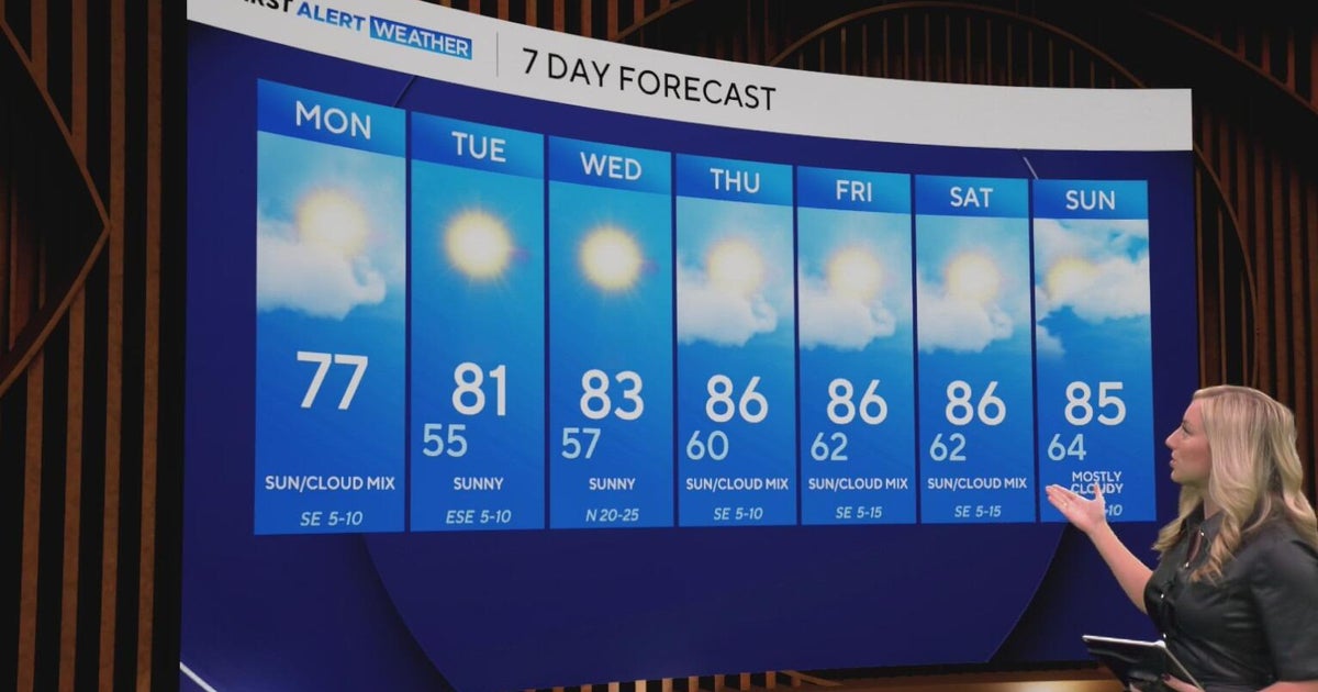 Cool and crisp morning in store for North Texas as temperatures top out in 70s, 80s this week
CBS News Baltimore 8am CBS News Boston 8am CBS News Chicago 7am CBS News Colorado This Morning 6am CBS News Los Angeles Mornings 5am CBS News Miami 8am CBS News New York 8am CBS News Texas 7am
-
 NEXT Weather: 6 a.m. report for Minnesota on Oct. 19, 2026
CBS News Baltimore 7am CBS News Bay Area Evening Edition 11pm CBS News Boston 7am CBS News Chicago 6am CBS News Colorado This Morning 5am CBS News Los Angeles Weekend 11pm CBS News Miami 7am CBS News New York 7am KDKA…
Air quality
Air quality is satisfactory, and air pollution poses little or no risk.
Forecast
- SunGood (50)
Miami, FL reporting area · 1 hr ago. Data from AirNow (EPA and its state, local and tribal partners); preliminary and subject to change.
Sun & moon
Almanac
MonthlyMiami Area, records since 1895. Normals 1991–2020. Data from NOAA's Regional Climate Centers (ACIS).
Nearby
- Miami 39 km
- Hialeah 43 km
- Miramar 58 km
- Miami Gardens 53 km
- Miami Beach 44 km
- Homestead 6 km
- Kendall 23 km
- Doral 37 km
- Carol City 53 km
- North Miami 50 km
- Fountainebleau 32 km
- Kendale Lakes 24 km
Forecasters' discussion
From the National Weather Service office in MFL, issued 11 hrs ago
Key Messages
Updated at 324 AM EDT Sun Oct 25 2026
- Moderate coastal flooding is expected with each high tide cycle. Major coastal flooding is possible late this weekend into early next week.
- Heavy rain and isolated flash flooding is possible across the east coast metros today through Monday.
- Strong winds, with gusts over 35 mph are possible today through Monday night.
- Dangerous marine and beach conditions are expected through the middle of the week.
Short Term
(Today through Monday) Issued at 324 AM EDT Sun Oct 25 2026
A complex weather pattern is set up for today and into early this coming week as an omega block ridge over the central U.S. creates a primarily meridional flow pattern with steady northerly flow in the mid-levels and upper-levels of the atmosphere. An elongated north-to- south trough is set up just east of this ridge block over the western Atlantic and extending into the Atlantic coastline across the Eastern Seaboard. Additionally, this results in surface high pressure underneath this upper-level setup being stout as well, with a strong pressure gradient setting up that is expected to bring increasingly gusty winds to South Florida. The surface high will be centered in the Northeast U.S. with a surface trough off the coast. This pattern could lead to us approaching Wind Advisory criteria on Monday, especially along the east coastline, but probabilities are not high enough currently to result in enough confidence to issue an advisory yet. Regardless, sustained NE winds of 20-25 mph and gusts of 30-35 mph are likely and occasional gusts to 40 mph are certainly possible.
In terms of convective potential today, the main drivers will be vorticity advection from the nearby elongated trough and speed/friction convergence created by strong NE flow rushing into less strong winds over land. This type of convergence can lead to numerous pop up showers and storms, but typically not as long lasting or tall as in a typical low level convergence setup. Nevertheless, expect scattered to numerous showers today primarily across the east coast metro with some embedded storms. With how scattered convection is expected to be along with the brisk flow leading to fast-moving showers and storms, concerns are low for excessive rainfall across the region. Additionally, deep convection is typically hard to come by in these types of setups. However, an isolated occurrence or two for localized flooding still cannot be ruled out due to training activity, but the risk overall across the region is not high.
As we move into Monday, most of the ensemble members and short range model guidance show the deepest moisture advecting offshore and thus there will be an even lesser risk for convective and hydro hazards on Monday. Some level of scattered shower activity is still likely, but less than today and once again any convection will be fast moving. High temperatures are expected in the low to mid 80s for most areas with parts of Southwest Florida reaching the upper 80s.
Long Term
(Monday night through Saturday) Issued at 324 AM EDT Sun Oct 25 2026
While not much of a legend down here as it is up in the Great Lakes, it appears that the gales of November may indeed come early for South Florida. Breezy 25 to 35 mph wind gusts will continue to be common Monday night through Tuesday morning. Strong surface high pressure over the mid-Atlantic states will continue to induce a tight pressure gradient along the Florida Atlantic coast through the end of the week. As a result, breezy conditions will continue at least through Wednesday. As discussed in the short term discussion, whether a wind advisory will also be needed for the Monday night and Tuesday period is still up for debate. It seems that the most likely areas to see sustained winds of 30 mph or greater is along the immediate coasts of Broward, Dade, and Palm Beach counties. Probabilities for advisory criteria winds are only at about 40%, so most areas will likely only see sustained winds of around 20 mph. Pressure gradients begin to relax near the middle of the week, which will finally lead to some calming of the winds. However, surface high pressure along the eastern seaboard will keep the same overall pattern in place, with northeast winds persisting into next weekend at around 10 to 15 mph.
Ensemble clusters are showing relatively good agreement regarding the upper level pattern heading into the middle of the week. A series of shortwave perturbations moving over the intermountain west will begin to flatten and steer high pressure over the Gulf and Deep South. Meanwhile, a cut off low over the Bahamas will begin to eject out into the Atlantic by Wednesday, which should allow for the weather to become a little less unsettled. As the mid- level ridge begins to exert greater influence over South Florida, chances of precipitation will decline and high temperatures look to climb back up into the upper 80s. The cut off low near the Bahamas will help transport some increased moisture into the northern Caribbean, with PWATs looking to climb to near 1.8 inches over South Florida (if the systems stays close enough to our area). Overall, this northeasterly flow pattern will favor scattered showers and storms coming off of the Gulf Stream waters for most of the week. Lightning and locally heavy rainfall will be the main threats, but there is currently no risk of excessive rainfall after Tuesday. A more typical sea breeze induced convective pattern will likely return once northeast winds weaken towards the end of the week.
The potential for moderate and major tidal flooding may continue during the middle portions of the week. This tidal flooding may also be exacerbated by coastal showers and strong northeast winds, which could lead to significant water rises along the far eastern metro areas. While the peak tides will be during the beginning to middle of the week, moderate coastal flooding may persist through the end of the week as we come out of this full moon phase.
Aviation
(06Z TAFS) Issued at 139 AM EDT Sun Oct 25 2026
Showers are currently ongoing across the Gulf Stream waters and moving onshore along the eastern metro areas. These showers may bring brief reductions in ceilings and visibilities, but most sites should remain VFR through the period. Shower coverage will increase throughout the day with some scattered thunderstorms during the afternoon. Winds will pick up out of the northeast with gusts of around 25 kts areawide.
Forecasts, observations and alerts in the United States come from the National Weather Service (NOAA); radar from NOAA's Multi-Radar Multi-Sensor system; satellite imagery from NASA's Global Imagery Browse Services (GIBS) and NOAA's GOES satellites; the map from the U.S. Geological Survey's National Map; air quality from AirNow (EPA and its partners); hurricane information from the National Hurricane Center; climate normals and records from NOAA's Regional Climate Centers (ACIS). Forecasts outside the United States and the UV index: MET Norway (CC BY 4.0); observations outside the U.S.: airport reports via NOAA's Aviation Weather Center. Place names: GeoNames (CC BY 4.0). Data are copied on a schedule and may lag the sources; for warnings that affect your safety, follow your local National Weather Service office and emergency officials. Weather news is drawn from the 4Search index and reflects what the press published. Terms of use. How to use Weather