Install
Land O' Lakes, FL Weather
Current conditions
Observed at Tampa, Vandenberg Airport · 1 hr ago
Forecast
10-day-
Sunday Night
Partly cloudy, with a low around 68. North northeast wind 12 to 18 mph, with gusts as high as 30 mph.
-
Monday
Mostly sunny, with a high near 84. Northeast wind 12 to 17 mph, with gusts as high as 31 mph.
-
Monday Night
Mostly clear, with a low around 65. Northeast wind 9 to 16 mph, with gusts as high as 29 mph.
National Weather Service forecast updated 1 day ago.
Hourly
Hourly forecast- Now72°
- 10 PM71°
- 11 PM70°
- Mon12 AM70°
- 1 AM69°
- 2 AM69°
- 3 AM68°
- 4 AM68°
- 5 AM68°
- 6 AM68°
- 7 AM68°
- 8 AM68°
- 9 AM71°
- 10 AM75°
- 11 AM78°
- 12 PM80°
- 1 PM82°
- 2 PM82°
- 3 PM83°
- 4 PM83°
- 5 PM82°
- 6 PM80°
- 7 PM77°
- 8 PM75°
10-day forecast
Details- TonightOct 24Mostly Clear67°
- TodayOct 25Sunny68°83°
- MonOct 26Mostly Sunny65°84°
- TueOct 27Sunny66°84°
- WedOct 28Sunny67°83°
- ThuOct 29Sunny then Isolated Rain Showers15%67°84°
- FriOct 30Sunny14%66°85°
- SatOct 31Sunny then Isolated Rain Showers19%85°
- SunNov 1Showers0.11 in72°86°
- MonNov 2Showers0.07 in72°85°
Days after the National Weather Service's seven are MET Norway's outlook, a computer model with no forecaster's review.
Radar
Full mapWeather news near Land O' Lakes
More weather news- Tampa Basks in Sunshine as Northeast Winds Rough Up Bay Boaters
Saturday night stays mostly clear, with temperatures dipping to around 68 degrees. According to the National Weather Service Tampa Bay office, Sunday will be mostly sunny and warmer near 84 degrees, but northeast winds…
-
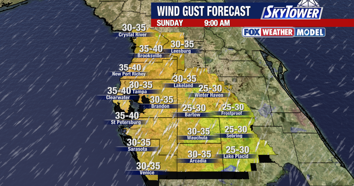 Tampa weather: Windy weekend in store for Bay Area
FOX 13 Meteorologist Dave Osterberg says Friday will be mostly sunny with winds picking up and a high temperature of 82 degrees. TAMPA, Fla. - It is a hold onto your hat windy kind of weekend in Central Florida. A Small…
- Tampa Weather: Sunny Thursday, Strong Weekend Winds
The weekend forecast is warm but increasingly windy, with gusts potentially reaching 31 mph Sunday. Before then, Tampa gets one more sunny day Thursday: skies will stay clear, rain is not expected, and temperatures will…
-
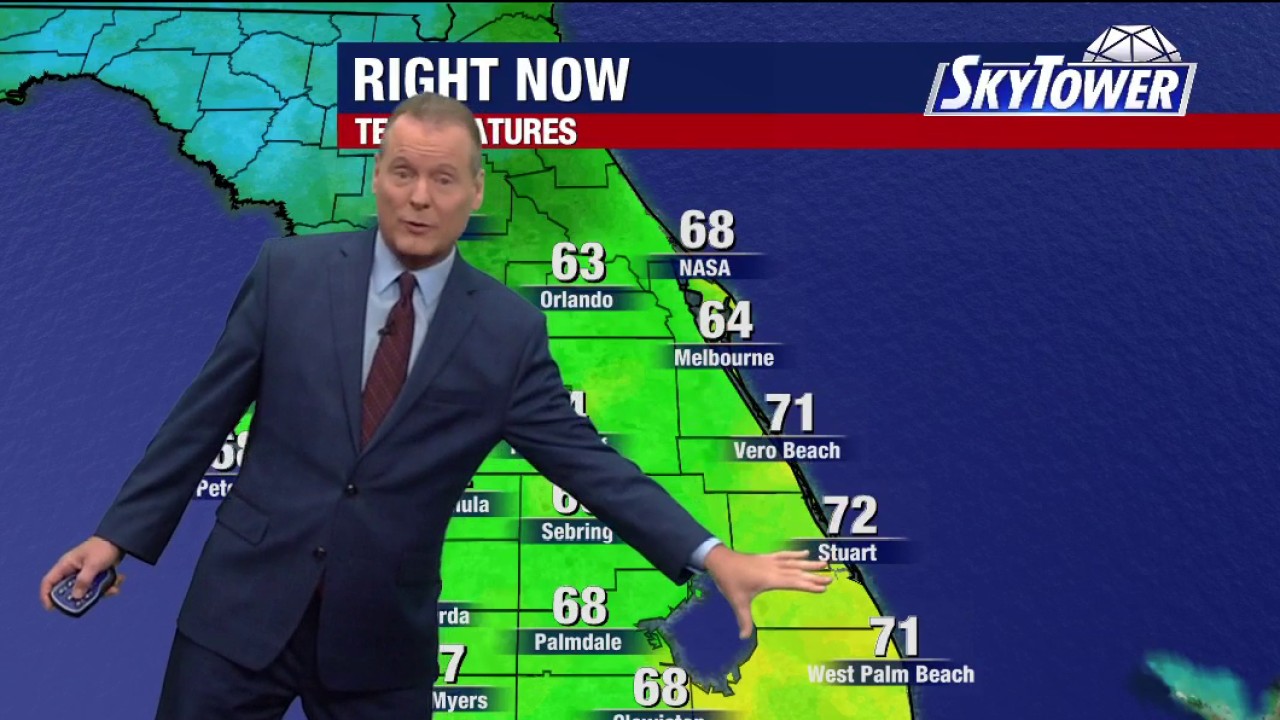 Tampa weather | Thursday morning forecast
FOX 13 Tampa Bay FOX 13 Meteorologist Dave Osterberg says Thursday will be breezy and pleasant with tons of sun and a high temperature of 82 degrees.
-
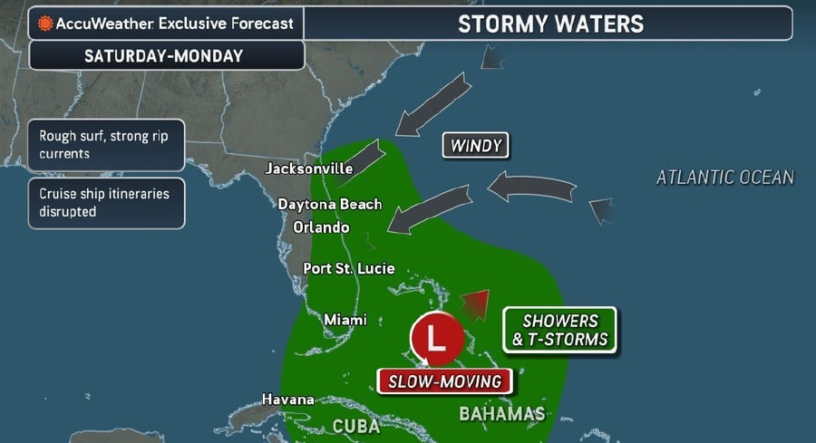 Rough Seas, Dangerous Rip Currents Threaten Florida Coast Ahead Of Possible Tropical Development
Persistent onshore winds and a slow-moving area of low pressure near the Bahamas are expected to bring hazardous surf, strong rip currents, and marine travel disruptions along Florida’s Atlantic coast starting this…
-
 Thanksgiving weather forecast: What to expect in Tampa Bay?
Afternoon high temperatures average around 79°F to 80°F, while morning lows drop to around 61°F. November is historically one of the driest months of the year for the region, averaging just over 1 inch of rain for the…
- Tampa Basks in Sunny Fall Stretch Before Weekend Winds Whip In
The comfortable pattern continues Thursday, when Tampa should reach about 79 degrees under sunny skies. Overnight lows will dip to around 60, giving early risers another taste of the cooler, drier air that has settled…
-
 Forecast: Another amazing weather day
TAMPA — Good Wednesday Tampa Bay! It is another lovely day here in Tampa Bay with temps in the upper 70s and low 80s. Mostly sunny skies dominate throughout the day today. Light northerly winds will drop overnight lows…
-
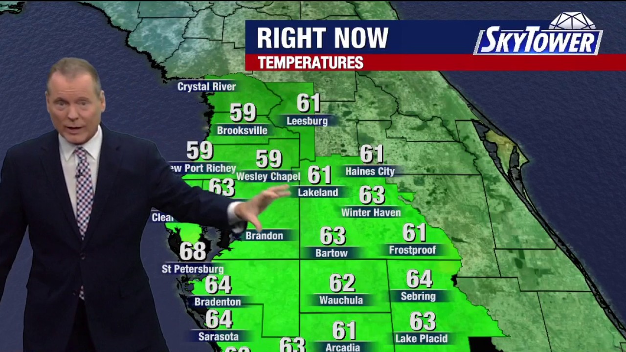 Tampa weather | Wednesday morning forecast
FOX 13 Tampa Bay FOX 13 Meteorologist Dave Osterberg says Wednesday will be mostly sunny, breezy and nice with a high temperature of 83 degrees.
-
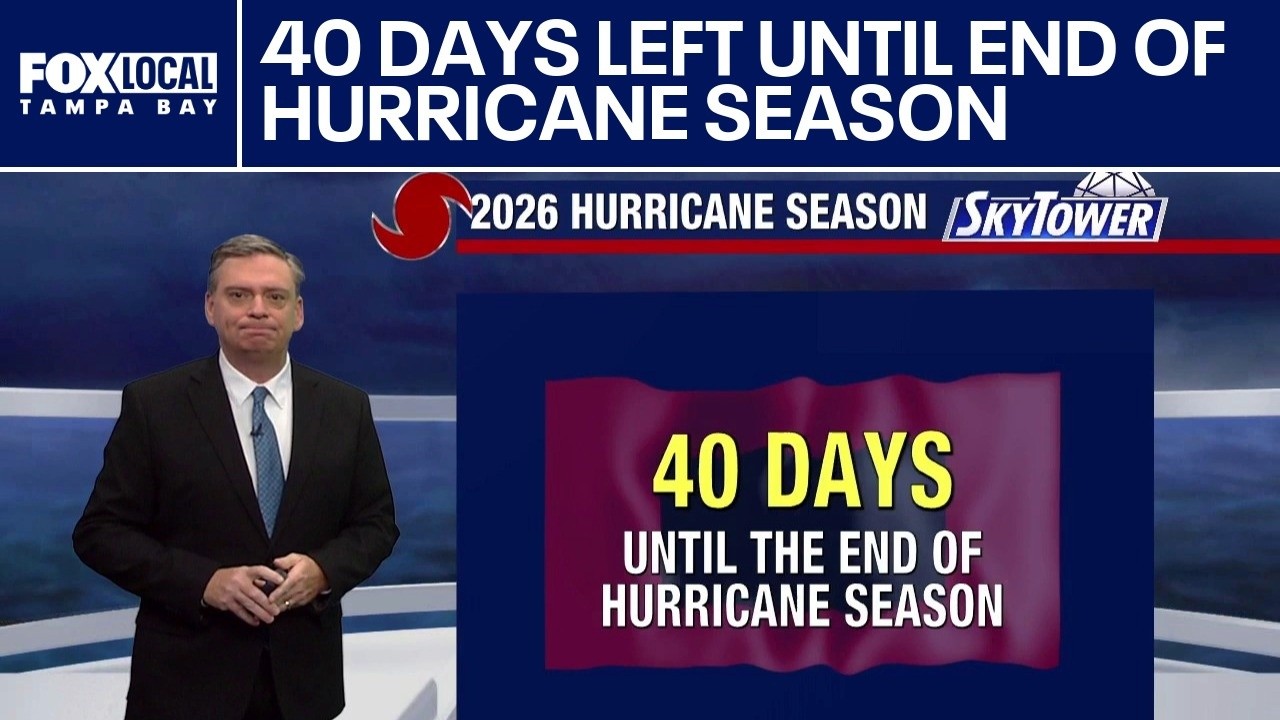 40 days left until end of hurricane season
FOX 13 Tampa Bay With 40 days left in the hurricane season, FOX 13 Meteorologist Jim Weber breaks down how the season's predicted activity compares to the reality of the season so far.
Air quality
Air quality is satisfactory, and air pollution poses little or no risk.
Forecast
- SunGood
- MonGood
- TueGood
Holiday, FL reporting area · 1 hr ago. Data from AirNow (EPA and its state, local and tribal partners); preliminary and subject to change.
Sun & moon
Almanac
MonthlyBrooksville Area, records since 1892. Normals 1991–2020. Data from NOAA's Regional Climate Centers (ACIS).
Nearby
- Tampa 30 km
- St. Petersburg 54 km
- Clearwater 44 km
- Lakeland 54 km
- Brandon 36 km
- Spring Hill 29 km
- Largo 47 km
- Town 'n' Country 26 km
- Riverview 41 km
- Palm Harbor 34 km
- Pinellas Park 48 km
- Wesley Chapel 13 km
Forecasters' discussion
From the National Weather Service office in TBW, issued 2 hrs ago
Key Messages
- Hazardous marine conditions across the coastal waters will continue into midweek.
- Breezy areawide with a slight chance of showers mainly across the interior and southwest Florida.
Update
Issued at 735 PM EDT Sun Oct 25 2026
Northeast flow continues to bring Atlantic moisture southwestward into the region with some scattered light showers/sprinkles continuing this evening. This precipitation will diminish in coverage overnight, but do expect a repeat Monday afternoon and evening as the northeast flow persists. Overall forecast looks ok at this time and only made some adjustments to PoPs for early tonight to include slight chance over the interior into southwest Florida.
Aviation
(00Z TAFS) Issued at 735 PM EDT Sun Oct 25 2026
Scattered light showers/sprinkles will continue to move southwest across the region early tonight and these could cause some brief MVFR conditions. Some other patches of MVFR ceilings will be possible early tonight, otherwise, mainly VFR conditions are expected through the TAF forecast period. Gusty northeast winds will continue at 10 to 15 knots overnight then increase to around 15 knots by late morning Monday with gusts up to 30 knots possible.
Discussion
Issued at 230 PM EDT Sun Oct 25 2026
Upper level trough off the U.S. east coast will drift east over the next few days with ridging building over the region mid to late week. At the surface, high pressure will hold over the eastern U.S. early in the week then also begin to drift east out into the Atlantic Ocean during midweek. However, it will continue to ridge into the southeast states keeping a rather tight pressure gradient across the Florida peninsula.
For the rest of today into tonight, breezy northeast flow will continue to bring some Atlantic moisture westward leading to scattered light showers/sprinkles, especially over the interior and southwest Florida. This general pattern will continue into Monday night.
As we move through Tuesday some deeper moisture will spread across the southern half of the region, generally south of I-4. This moisture is expected to hold over this area through Wednesday leading to a better chance of showers across southern parts of the forecast area both Tuesday and Wednesday afternoon and evening.
Late in the week into next weekend the east to northeast flow continues with some additional moisture spreading across the entire area leading to a chance of showers and possibly a thunderstorm each day, especially during the afternoon and evening hours.
Temperatures will remain near to slightly above normal through the week with lows in the 60s to lower 70s, and daytime highs mostly in the 80s.
Forecasts, observations and alerts in the United States come from the National Weather Service (NOAA); radar from NOAA's Multi-Radar Multi-Sensor system; satellite imagery from NASA's Global Imagery Browse Services (GIBS) and NOAA's GOES satellites; the map from the U.S. Geological Survey's National Map; air quality from AirNow (EPA and its partners); hurricane information from the National Hurricane Center; climate normals and records from NOAA's Regional Climate Centers (ACIS). Forecasts outside the United States and the UV index: MET Norway (CC BY 4.0); observations outside the U.S.: airport reports via NOAA's Aviation Weather Center. Place names: GeoNames (CC BY 4.0). Data are copied on a schedule and may lag the sources; for warnings that affect your safety, follow your local National Weather Service office and emergency officials. Weather news is drawn from the 4Search index and reflects what the press published. Terms of use. How to use Weather