Install
Cooper City, FL Weather
Current conditions
Forecast for this hour (no station report in the last two hours)
Forecast
10-day-
Friday Night
A chance of showers and thunderstorms before 8pm, then a chance of showers and thunderstorms between 8pm and 5am, then a chance of showers and thunderstorms. Partly cloudy, with a low around 71. Northeast wind 10 to 15 mph, with gusts as high as 24 mph. Chance of precipitation is 40%.
-
Saturday
A chance of showers and thunderstorms before 2pm, then showers and thunderstorms likely. Mostly sunny, with a high near 83. Northeast wind 12 to 16 mph, with gusts as high as 29 mph. Chance of precipitation is 60%.
-
Saturday Night
Showers and thunderstorms likely. Partly cloudy, with a low around 72. Northeast wind around 15 mph, with gusts as high as 26 mph. Chance of precipitation is 60%.
National Weather Service forecast updated 1 day ago.
Hourly
Hourly forecast- Now72°
- 6 AM72°14%
- 7 AM72°19%
- 8 AM72°23%
- 9 AM74°23%
- 10 AM77°23%
- 11 AM80°23%
- 12 PM81°23%
- 1 PM82°23%
- 2 PM82°43%
- 3 PM82°43%
- 4 PM82°43%
- 5 PM81°43%
- 6 PM79°43%
- 7 PM78°43%
- 8 PM76°46%
- 9 PM75°46%
- 10 PM75°46%
- 11 PM75°46%
- Sun12 AM74°46%
- 1 AM74°46%
- 2 AM73°51%
- 3 AM73°51%
- 4 AM73°51%
Daily forecast
Details- ThuOct 22Chance Showers And Thunderstorms35%70°83°
- FriOct 23Chance Rain Showers44%71°83°
- TodayOct 24Chance Showers And Thunderstorms62%72°83°
- SunOct 25Showers And Thunderstorms78%73°82°
- MonOct 26Chance Showers And Thunderstorms then Showers And Thunderstorms Likely68%73°83°
- TueOct 27Chance Showers And Thunderstorms43%73°84°
- WedOct 28Slight Chance Showers And Thunderstorms then Chance Showers And Thunderstorms47%73°84°
- ThuOct 29Light showers0.04 in70°86°
- FriOct 30Showers0.15 in70°84°
Days after the National Weather Service's seven are MET Norway's outlook, a computer model with no forecaster's review.
Radar
Full mapWeather news near Cooper City
More weather news-
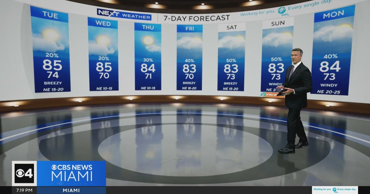 Temperatures lower to the early 80s and late 70s throughout South Florida
CBS News Miami is a local news organization that is part of CBS News and Stations. Also referred to as WFOR-TV and channel 4, CBS News Miami offers local breaking news, weather coverage and investigative reporting…
-
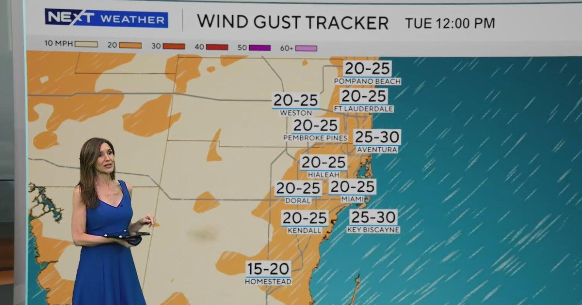 Windy, drier week ahead of taste of fall South Florida style
October 19, 2026 / 11:06 AM EDT / CBS Miami It's expected to be a windy but dry week across South Florida ahead of an enjoyable taste of fall with some pleasant mornings starting on Tuesday. As a frontal boundary stalls…
-
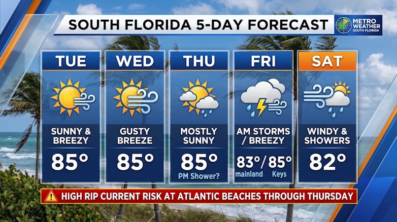 South Florida Forecast: Breezy Sun, Mid-80s Warmth, and Dangerous Atlantic Rip Currents
Donna Thomas has studied hurricanes for two decades. She holds a PhD in history when her experience with Hurricane Andrew ultimately led her to earn a degree in broadcast meteorology from Mississippi State University…
-
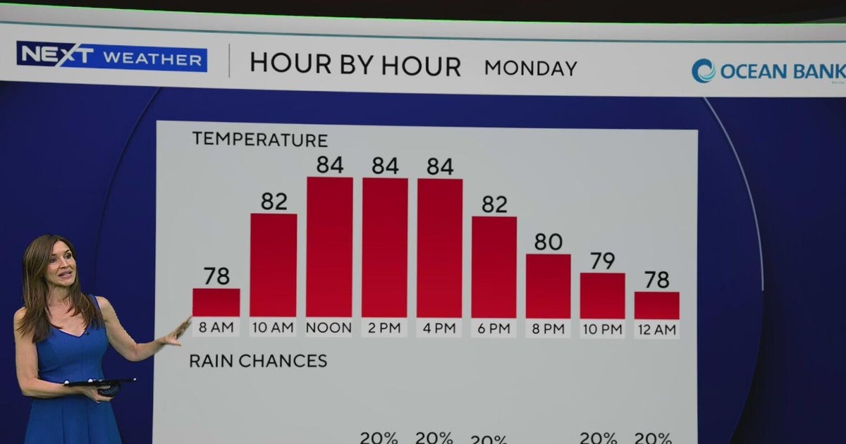 South Florida to see lower rain chances, cooler temperatures this week
CBS News Baltimore 8am CBS News Boston 8am CBS News Chicago 7am CBS News Colorado This Morning 6am CBS News Los Angeles Mornings 5am CBS News Miami 8am CBS News New York 8am CBS News Texas 7am
-
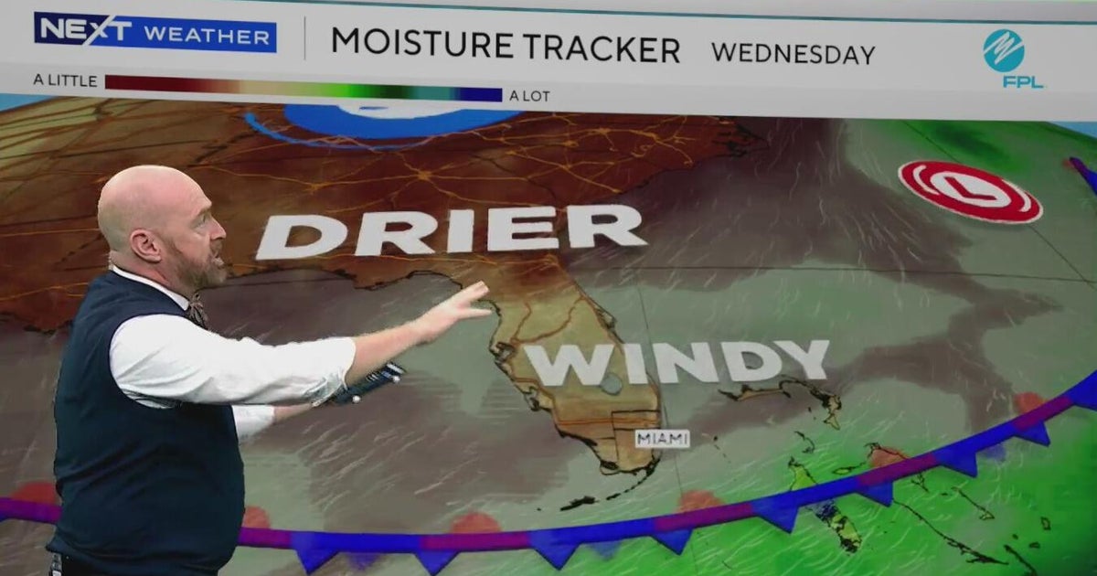 Sunny, drier weather ahead for South Florida
CBS News Bay Area Evening Edition Weekend 5pm CBS News Detroit Weekend 6:30pm CBS News Miami 6:30pm CBS Philadelphia at 6:30pm CBS13 News Weekend 5pm CBS News Texas 5:30pm
-
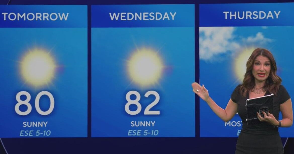 Beautiful stretch of weather continues across North Texas
The Takeout with Major Garrett CBS News Chicago 4pm CBS News Detroit 5pm CBS News Miami 5pm The 4 from WCCO News CBS News New York 5pm CBS News Philadelphia 5pm CBS News Texas at 4pm
-
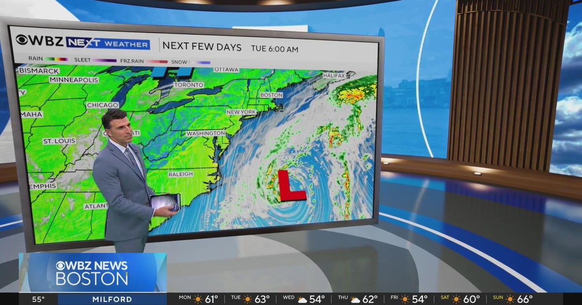 Next Weather: WBZ evening forecast for October 19, 2026
The Takeout with Major Garrett CBS News Chicago 4pm CBS News Detroit 5pm CBS News Miami 5pm The 4 from WCCO News CBS News New York 5pm CBS News Philadelphia 5pm CBS News Texas at 4pm
- Has fall arrived in South Florida? Temperatures dropping — but there’s a risk
It’s feeling more like fall in South Florida. Dropping temperatures. A breeze. Less humidity. This week is shaping up to give us a break from the summerlike sweat. After high temperatures on Monday top out in the…
-
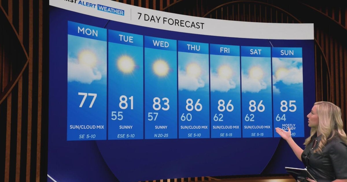 Cool and crisp morning in store for North Texas as temperatures top out in 70s, 80s this week
CBS News Baltimore 8am CBS News Boston 8am CBS News Chicago 7am CBS News Colorado This Morning 6am CBS News Los Angeles Mornings 5am CBS News Miami 8am CBS News New York 8am CBS News Texas 7am
-
 NEXT Weather: 6 a.m. report for Minnesota on Oct. 19, 2026
CBS News Baltimore 7am CBS News Bay Area Evening Edition 11pm CBS News Boston 7am CBS News Chicago 6am CBS News Colorado This Morning 5am CBS News Los Angeles Weekend 11pm CBS News Miami 7am CBS News New York 7am KDKA…
Air quality
Air quality is satisfactory, and air pollution poses little or no risk.
Forecast
- SatGood
- SunGood
- MonGood
Broward County, FL reporting area · 1 hr ago. Data from AirNow (EPA and its state, local and tribal partners); preliminary and subject to change.
Sun & moon
Almanac
MonthlyFort Lauderdale Area, records since 1912. Normals 1991–2020. Data from NOAA's Regional Climate Centers (ACIS).
Nearby
- Miami 32 km
- Hialeah 22 km
- Fort Lauderdale 15 km
- Pembroke Pines 8 km
- Hollywood 13 km
- Miramar 9 km
- Coral Springs 24 km
- Miami Gardens 13 km
- Pompano Beach 25 km
- Davie 4 km
- Boca Raton 38 km
- Plantation 9 km
Forecasts, observations and alerts in the United States come from the National Weather Service (NOAA); radar from NOAA's Multi-Radar Multi-Sensor system; satellite imagery from NASA's Global Imagery Browse Services (GIBS) and NOAA's GOES satellites; the map from the U.S. Geological Survey's National Map; air quality from AirNow (EPA and its partners); hurricane information from the National Hurricane Center; climate normals and records from NOAA's Regional Climate Centers (ACIS). Forecasts outside the United States and the UV index: MET Norway (CC BY 4.0); observations outside the U.S.: airport reports via NOAA's Aviation Weather Center. Place names: GeoNames (CC BY 4.0). Data are copied on a schedule and may lag the sources; for warnings that affect your safety, follow your local National Weather Service office and emergency officials. Weather news is drawn from the 4Search index and reflects what the press published. Terms of use.