Install
Carrollwood Village, FL Weather
Current conditions
Observed at Tampa, Tampa International Airport · 38 min ago
Forecast
10-day-
Monday
Sunny, with a high near 84. North northeast wind 12 to 20 mph, with gusts as high as 31 mph.
-
Monday Night
Mostly clear, with a low around 67. North northeast wind 8 to 17 mph, with gusts as high as 30 mph.
-
Tuesday
Sunny, with a high near 84. Northeast wind 10 to 18 mph, with gusts as high as 31 mph.
National Weather Service forecast updated 1 day ago.
Hourly
Hourly forecast- Now82°
- 2 PM83°
- 3 PM84°
- 4 PM83°
- 5 PM82°
- 6 PM81°
- 7 PM77°
- 8 PM76°
- 9 PM74°
- 10 PM72°
- 11 PM71°
- Tue12 AM70°
- 1 AM69°
- 2 AM69°
- 3 AM68°
- 4 AM68°
- 5 AM68°
- 6 AM67°
- 7 AM67°
- 8 AM68°
- 9 AM71°
- 10 AM75°
- 11 AM78°
- 12 PM80°
10-day forecast
Details- SunOct 25Isolated Rain Showers16%69°84°
- TodayOct 26Sunny67°84°
- TueOct 27Sunny68°84°
- WedOct 28Sunny10%69°84°
- ThuOct 29Sunny then Isolated Showers And Thunderstorms18%69°85°
- FriOct 30Mostly Sunny then Isolated Rain Showers18%68°85°
- SatOct 31Mostly Sunny then Isolated Rain Showers17%67°85°
- SunNov 1Light rain0.05 in72°84°
- MonNov 2Rain0.06 in71°83°
- TueNov 3Cloudy70°84°
Days after the National Weather Service's seven are MET Norway's outlook, a computer model with no forecaster's review.
Radar
Full mapWeather news near Carrollwood Village
More weather news-
 Breezy winds, cool mornings and mild afternoons combine for lovely Suncoast weather.
SARASOTA, Fla. (WWSB) - The main weather concern, for some Suncoast residents, this week will be elevated wind speeds. This will cause Gulf waters to remain choppy for the better part of the week. It also means that…
-
 Southwest Florida weather forecast
WINK News Oct. 18, 2026, 6:30 p.m. Currently in Fort Myers Hour by Hour Forecast - Car crashes into Mel's Diner in Bonita Springs - Tampa Bay Rays one win from World Series after beating Cleveland 3-1 - Anthropic…
- Subtropical Storm Josephine possible this week. Could it impact Florida?
A system of low pressure off the east coast of the United States has a higher chance for development this week, according to the latest advisory from the National Hurricane Center. A subtropical cyclone could form…
- Florida’s extreme drought improves dramatically in one week
Drought conditions across Florida improved considerably over the past week, with several areas seeing reduced drought severity, according to the latest U.S. Drought Monitor update released Thursday. A comparison of the…
-
 Canada updates travel advisories for Mexico, U.S. and other popular destinations
Published October 16, 2026 at 1:47 pm Canada has updated travel advisories for Mexico, the United States and other popular travel destinations. Fall weather is beginning to set in, which may prompt some Canadians to…
-
 Forecast: Last day feeling like summer
Good morning, Tampa Bay! We’ve got a fantastic, quiet start to our Friday, but if you’re looking forward to fall-like weather, the timing couldn't be better—a significant pattern shift is setting up just in time for the…
-
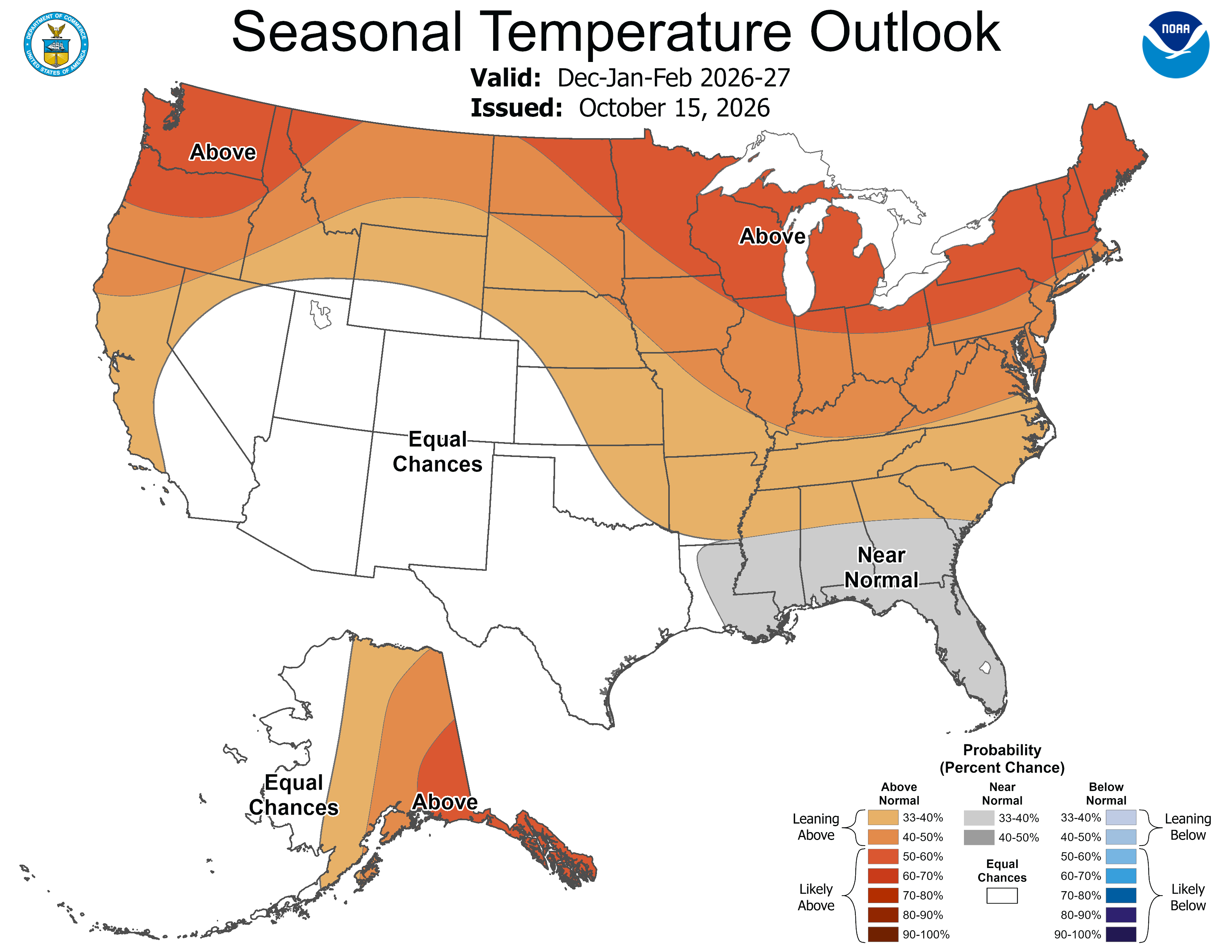 70 degrees on Christmas Eve? How past Super El Niños impacted Yuletide
El Niño winter forecast: why warmer doesn't mean less snow or ice If you're already dreaming of a white Christmas, look away. The National Oceanic and Atmospheric Administration (NOAA) released its winter outlook on…
-
 Forecast: Highs near 90 degrees & pm showers return
Tampa Bay 28 TAMPA — Good Thursday Tampa Bay! Today we see partly cloudy skies and highs should warm near 90 degrees. Winds shift our of the southeast and humidity levels are definitely back to muggy levels. After 2 PM…
-
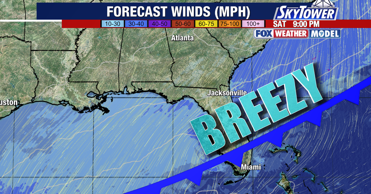 Tampa weather: Cold front brings weekend rain chances and lower humidity
FOX 13 Meteorologist Jim Weber says Thursday will be partly cloudy with a few late day showers and a high temperature of 89 degrees. TAMPA, Fla. - Humid conditions are returning to Florida Thursday, setting the stage…
-
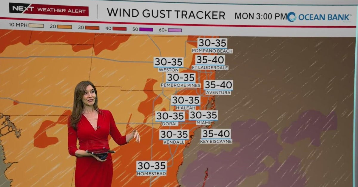 NEXT Weather Alert in effect across South Florida due to king tides, strong winds, heavy downpours
A CBS News Miami NEXT Weather Alert is in effect across South Florida through at least Tuesday due to the combination of king tides, strong onshore winds and heavy downpours. CBS News Miami NEXT Weather meteorologist…
Air quality
Acceptable. Unusually sensitive people should consider limiting prolonged outdoor exertion.
Forecast
- MonGood
- TueGood
- WedGood
Tampa, FL reporting area · 1 hr ago. Data from AirNow (EPA and its state, local and tribal partners); preliminary and subject to change.
Sun & moon
Almanac
MonthlyTampa Area, records since 1890. Normals 1991–2020. Data from NOAA's Regional Climate Centers (ACIS).
Nearby
- Tampa 15 km
- St. Petersburg 36 km
- Clearwater 30 km
- Lakeland 56 km
- Brandon 27 km
- Spring Hill 46 km
- Largo 32 km
- Town 'n' Country 8 km
- Riverview 29 km
- Palm Harbor 24 km
- Pinellas Park 31 km
- Wesley Chapel 27 km
Forecasters' discussion
From the National Weather Service office in TBW, issued 9 hrs ago
Key Messages
- Hazardous marine conditions across the coastal waters will continue into mid week.
- Breezy areawide with a slight chance of showers mainly across the interior and southwest Florida.
Discussion
Issued at 330 AM EDT Mon Oct 26 2026
U/A analysis courtesy of morning W/V imagery shows a sharp C/E U.S. ridge and deep E Seaboard/W Atlantic trough extending south to a cut-off low over Cuba and The Bahamas. At the surface, high pressure over much of the E U.S. ridges south into the area north of a boundary/surface trough over The Bahamas. Resulting low- to mid-level E/NE flow continues to advect Atlantic moisture over the peninsula, with low clouds and showers/sprinkles occasionally working across the peninsula into W FL areas leading to generally isolated shower coverage today and Tuesday. Tightened gradient in place with the setup will continue breezy conditions, with gusts upwards of 25-30 mph over the next few afternoons.
U/L pattern shifts a bit into mid week, with the ridge axis shifting east and re-orienting north of FL as the E Seaboard/W Atlantic troughing fills and lifts northeast, leaving the cut-off low near Cuba/The Bahamas and gradually filling. E/NE moisture fetch off the Atlantic into the peninsula lengthens in response to the re-positioned ridge axis, leading to PWATs climbing to 1.5-2 inches area wide on Wed-Thu with isolated to scattered rain chances gradually expanding westward from the interior into areas closer to the coast, particularly along/south of I-4. Dew points climb into the mid/upper 60s to lower/mid 70s over the latter half of the week accompanying the uptick in rain chances, while winds remain breezy out of the E/NE, although not as elevated as during the early-week period. Overall conditions then hold into the weekend with isolated to scattered showers and perhaps a few thunderstorms each afternoon, with highest chances favoring areas away from immediate coastal locations. Temps will run within a few degrees of normal over the next few days before warming to above normal over the latter half of the week, into the mid 60s/lower 70s for morning lows and the mid/upper 80s for afternoon highs.
Aviation
(06Z TAFS) Issued at 138 AM EDT Mon Oct 26 2026
Mainly VFR with continued breezy to gusty E/NE flow across terminals with Atlantic moisture streaming west across the peninsula bringing periods of cloudiness and shower chances.
Marine
Issued at 330 AM EDT Mon Oct 26 2026
Strong winds and rough seas will keep hazardous marine conditions across the coastal waters into mid week, with near-gale force wind gusts through this evening. Small craft operators should remain in port until conditions improve later in the week. The persistent offshore wind flow will also cause tides to run below astronomical levels through much of the week.
Forecasts, observations and alerts in the United States come from the National Weather Service (NOAA); radar from NOAA's Multi-Radar Multi-Sensor system; satellite imagery from NASA's Global Imagery Browse Services (GIBS) and NOAA's GOES satellites; the map from the U.S. Geological Survey's National Map; air quality from AirNow (EPA and its partners); hurricane information from the National Hurricane Center; climate normals and records from NOAA's Regional Climate Centers (ACIS). Forecasts outside the United States and the UV index: MET Norway (CC BY 4.0); observations outside the U.S.: airport reports via NOAA's Aviation Weather Center. Place names: GeoNames (CC BY 4.0). Data are copied on a schedule and may lag the sources; for warnings that affect your safety, follow your local National Weather Service office and emergency officials. Weather news is drawn from the 4Search index and reflects what the press published. Terms of use. How to use Weather