Install
Buenaventura Lakes, FL Weather
Current conditions
Observed at Kissimmee Gateway Airport · 48 min ago
Forecast
10-day-
Today
A slight chance of rain showers between 11am and 3pm. Sunny, with a high near 82. Northeast wind 15 to 20 mph, with gusts as high as 35 mph. Chance of precipitation is 20%. New rainfall amounts less than a tenth of an inch possible.
-
Tonight
A slight chance of rain showers before 5am. Partly cloudy, with a low around 69. North northeast wind 10 to 15 mph, with gusts as high as 35 mph. Chance of precipitation is 20%. New rainfall amounts less than a tenth of an inch possible.
-
Tuesday
A slight chance of rain showers before 2pm. Mostly sunny, with a high near 83. Northeast wind 10 to 20 mph, with gusts as high as 35 mph. Chance of precipitation is 20%. New rainfall amounts less than a tenth of an inch possible.
National Weather Service forecast updated 4 hrs ago.
Hourly
Hourly forecast- Now79°15%
- 12 PM80°13%
- 1 PM80°22%
- 2 PM80°18%
- 3 PM80°
- 4 PM81°14%
- 5 PM80°11%
- 6 PM78°18%
- 7 PM76°15%
- 8 PM73°15%
- 9 PM72°22%
- 10 PM72°20%
- 11 PM71°15%
- Tue12 AM71°
- 1 AM70°
- 2 AM70°0.01
- 3 AM69°12%
- 4 AM69°19%
- 5 AM69°13%
- 6 AM69°20%
- 7 AM69°14%
- 8 AM70°
- 9 AM72°
- 10 AM77°14%
Daily forecast
Details- TodayOct 26Slight Chance Rain Showers22%69°82°
- TueOct 27Slight Chance Rain Showers20%72°83°
- WedOct 28Chance Showers And Thunderstorms37%72°82°
- ThuOct 29Chance Showers And Thunderstorms34%71°84°
- FriOct 30Sunny then Slight Chance Rain Showers24%70°85°
- SatOct 31Sunny then Chance Showers And Thunderstorms28%69°85°
- SunNov 1Chance Showers And Thunderstorms25%66°85°
- MonNov 2Light showers0.04 in69°83°
- TueNov 3Partly cloudy69°82°
Days after the National Weather Service's seven are MET Norway's outlook, a computer model with no forecaster's review.
Radar
Full mapWeather news near Buenaventura Lakes
More weather news-
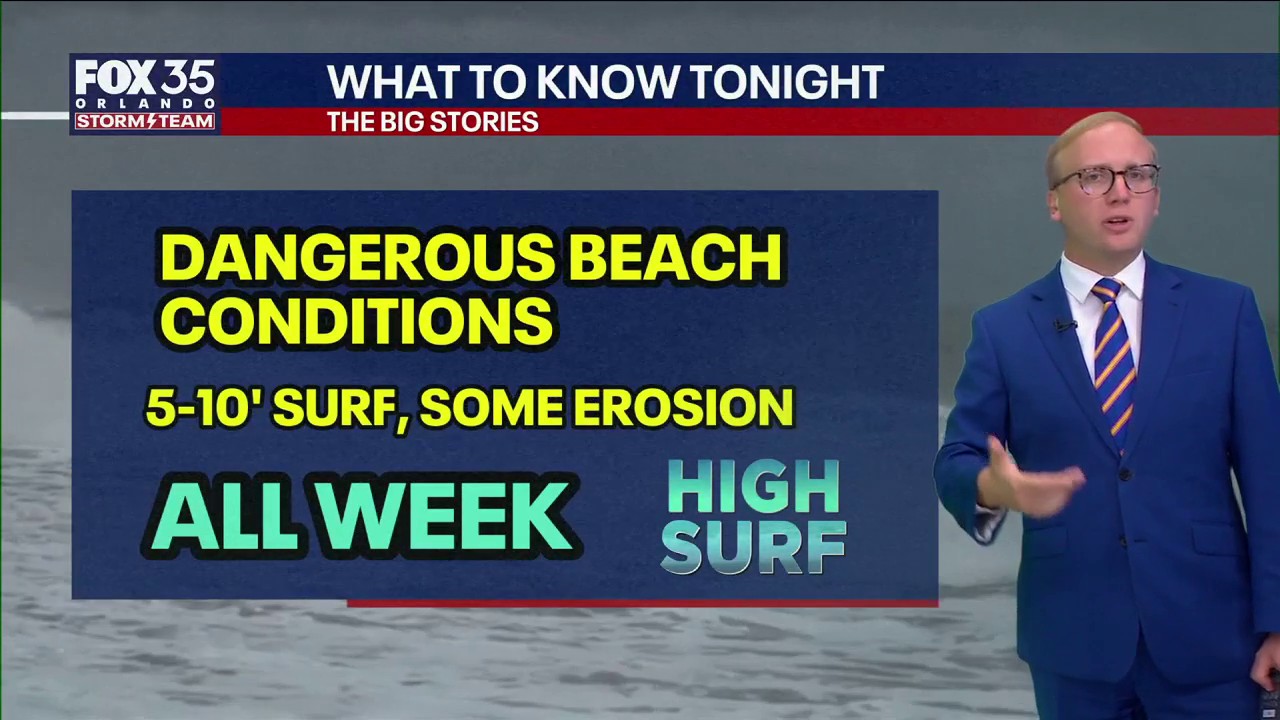 Orlando Weather Forecast: Gusty winds and cooler air
FOX 35 Orlando Wind gusts up to 40 MPH continue all week across central Florida. FOX 35 Storm Team Meteorologist Noah Bergren is tracking how much beach erosion may develop, and the net chance for rain.
- Orlando Weather Forecast Gusty Winds Showers And Coastal Hazards
Orlando is waking up to cloudy skies and a breezy Monday, with temperatures near 64 degrees before sunrise and a high near 80. Passing showers are possible through early afternoon before the sky turns partly sunny…
-
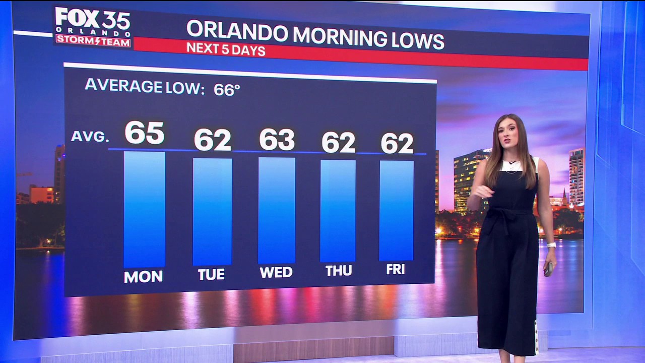 Orlando Weather: Blustery with a few showers to start off the week
FOX 35 Orlando The wind is getting going here at home and Meteorologist Laurel Blanchard says gusts could rise beyond 30–40 mph. Tune in to see how long the Fall-Like conditions stick around.
- Orlando Weather: Windy Sunday, Cooler Week Ahead
Winds will run 15 to 20 mph across inland areas, with gusts up to 35 mph. Brief onshore-moving showers could push through late Sunday or Sunday night, but the forecast does not call for thunderstorms. The updated…
-
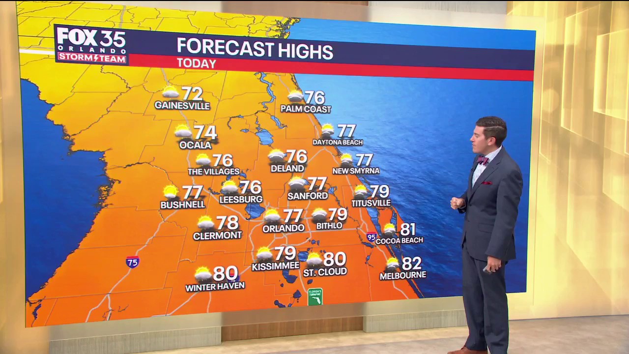 Orlando Weather Forecast: Blustery and comfy Sunday on tap, few showers possible
FOX 35 Orlando The wind is getting going here at home and Meteorologist T.J. Springer says gusts could rise beyond 30-40 mph. It'll be much brighter today compared to our Saturday though, although we still could see a…
-
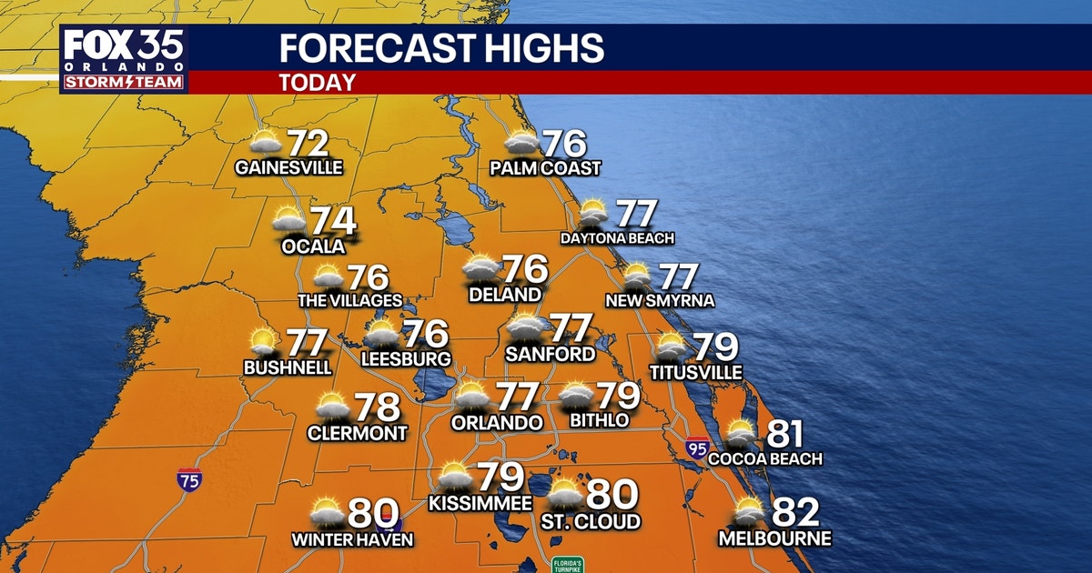 Orlando weather: Cool, breezy conditions wrap up the weekend
The wind is getting going here at home and meteorologist T.J. Springer says gusts could rise beyond 30–40 mph. It'll be much brighter today compared to our Saturday though, although we could still see a couple…
-
 Hurricane center tracks system off East Coast
ORLANDO, Fla. — The National Hurricane Center continued Monday to keep an eye on a system off the U.S. East Coast with the potential to develop into a more dangerous storm. ORLANDO, Fla. — The National Hurricane Center…
-
 KZN storms and damaging winds: What residents need to know
Home » News » Weather » KZN storms and damaging winds: What residents need to know Severe storms and damaging winds threaten KZN. Find out what residents, parents and motorists should prepare for. KwaZulu-Natal…
-
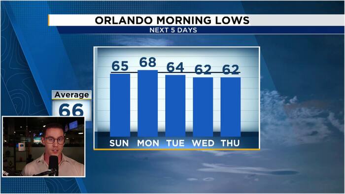 Windy & Cooler Sunday as 60s return to Central Florida
WKMG Jordan Patrick, Certified Meteorologist Windy & Cooler Sunday as 60s return to Central Florida Hundreds honor Brevard County Agent Kevin Morris after fatal I-95 crash Injuries avoided as truck hits school bus in…
-
 Monday tides: Check coastal times as damaging winds and waves loom
Home » News » Weather » Monday tides: Check coastal times as damaging winds and waves loom Heading to the coast on Monday? Check tide times as damaging winds and waves threaten coastal activities. If you’re heading to…
Air quality
Air quality is satisfactory, and air pollution poses little or no risk.
Forecast
- MonGood
- TueGood
Orlando, FL reporting area · 1 hr ago. Data from AirNow (EPA and its state, local and tribal partners); preliminary and subject to change.
Sun & moon
Almanac
MonthlyOrlando Area, records since 1892. Normals 1991–2020. Data from NOAA's Regional Climate Centers (ACIS).
Nearby
- Orlando 23 km
- Alafaya 29 km
- Kissimmee 7 km
- Pine Hills 27 km
- Sanford 52 km
- Poinciana 24 km
- Apopka 41 km
- Ocoee 32 km
- Altamonte Springs 36 km
- Winter Garden 34 km
- Oviedo 40 km
- Winter Haven 51 km
Forecasters' discussion
From the National Weather Service office in MLB, issued 4 hrs ago
Key Messages
Issued at 222 AM EDT Mon Oct 26 2026
- A prolonged period of hazardous to dangerous beach and boating conditions are forecast across east central Florida through at least the middle of this week. Heading to the beach and entering the ocean is not advised!
- Rough, dangerous surf, minor to moderate coastal flooding, moderate to major beach erosion, a high risk of rip currents, and Gale conditions are forecast over the next several days.
- Scattered onshore-moving showers are forecast over the next several days, with the highest rain chances focused along the coast.
Discussion
Issued at 222 AM EDT Mon Oct 26 2026
Current-Tuesday...Surface high pressure remains aligned across the eastern CONUS as weak low pressure develops along an old frontal boundary between the Bahamas and FL Straits. This will keep a tight pressure gradient as persistent, gusty NERLY winds continue across ECFL. Highest winds become sustained 20-25 mph with frequent gusts to 30-35 mph and possibly 40 mph along the coast today. Will continue a Wind Advisory along the coast through 00Z/8PM. Elsewhere winds across ECFL generally 15-20 mph with frequent gusts to 25-30 mph. Winds will decrease into the evening to around 10 mph with some higher gusts over the interior, but still breezy (15-20 mph & gusty) at the coast. Scattered (30-50%) onshore-moving squalls will continue today/tonight rapidly moving from northeast to southwest and may produce isolated wind gusts of 40-50 mph. Highest shower chances today along the coast. Brief downpours will occur and minor flooding remains in play for locations (coast) that receive multiple rounds, esp over the past few days.
Elevated/gusty onshore winds will persist into Tue, but highest rain chances shunted further south across the Treasure Coast (40-70%), tapering back to 10-30% north/west.
Afternoon max temps remain seasonal, near 80F to L80s each day. Min overnight temps in the M-U60s well into the interior and near 70 to L70s toward the coast where winds remain elevated.
Plenty of dangerous coastal/marine hazards as numerous, strong, life- threatening rip currents and rough surf remain present at all local beaches. A High Surf Advisory remains in effect for large breaking waves 7-11 ft in the surf zone. Entering the water is not advised! Pounding surf and persistent long period onshore swells will continue Moderate to Major beach erosion at times of high tide. This significant coastal event coincides with a period of astronomical high tides, and Minor to Moderate flooding is also forecast. During the morning high tide cycles saltwater flooding will impact low-lying roads, lots, docks, and yards near the coast and intracoastal waterways. A Coastal Flood Warning remains in effect.
Wed-Sun...High pressure across the eastern U.S. becomes reinforced, but does show a weakening trend late in the period as it is pushed into the western Altc with approach of a developing low pressure system. Breezy/gusty conditions continue into late work-week as the pgrad remains rather tight. Poor to hazardous coastal/marine conditions continue alongside the period of high astronomical tide cycles. Highest PoPs occur Wed/Thu (esp Cape southward) during this period as another surge of moisture is poised to move across the region. Near to slightly above normal temperatures are forecast with highs in the L-M80s. Lows continue above climo well into the 60s to L70s at least thru Sat morning.
Marine
Issued at 222 AM EDT Mon Oct 26 2026
Dangerous boating conditions persist across the local Atlantic waters early this week as the area remains wedged between strengthening high pressure to the north and a stalled boundary and developing low pressure to the south. Northeast winds 20-30 kts and frequent gusts to around 35 kts continue with Gale Warnings in effect. Winds gradually weaken a bit into mid/late week but boating conditions remain hazardous as seas, too, remain elevated in a persistent long period onshore swell. Small Craft Advisories will take over when Gale Warnings are allowed to expire.
Scattered, gusty, onshore-moving showers continue to today areawide, but are shunted a bit further (mostly Cape) southward on Tue, then rain chances with ISOLD lightning storms increase Wed-Thu areawide.
Aviation
(12Z TAFs) Issued at 730 AM EDT Mon Oct 26 2026
Northeast winds persist with speeds of 10 to 20 knots and gusts up to 30 knots through the period, slackening slightly overnight across the interior terminals. VCSH along the coast and at LEE this morning will continue to expand to the interior terminals after 14Z, with onshore-moving shower development anticipated to persist into the evening and overnight hours. Too difficult to pin down specific periods of time with VIS and CIG impacts due to SHRA, so kept out PROB30s and TEMPOs. Will amend as needed through the day.
Forecasts, observations and alerts in the United States come from the National Weather Service (NOAA); radar from NOAA's Multi-Radar Multi-Sensor system; satellite imagery from NASA's Global Imagery Browse Services (GIBS) and NOAA's GOES satellites; the map from the U.S. Geological Survey's National Map; air quality from AirNow (EPA and its partners); hurricane information from the National Hurricane Center; climate normals and records from NOAA's Regional Climate Centers (ACIS). Forecasts outside the United States and the UV index: MET Norway (CC BY 4.0); observations outside the U.S.: airport reports via NOAA's Aviation Weather Center. Place names: GeoNames (CC BY 4.0). Data are copied on a schedule and may lag the sources; for warnings that affect your safety, follow your local National Weather Service office and emergency officials. Weather news is drawn from the 4Search index and reflects what the press published. Terms of use. How to use Weather