Install
Kent Acres, DE Weather
Current conditions
Observed at Millville Executive Airport · 28 min ago
Forecast
10-day-
Friday Night
Mostly clear, with a low around 39. Northeast wind 0 to 5 mph.
-
Saturday
Sunny, with a high near 62. Northeast wind around 5 mph.
-
Saturday Night
Clear, with a low around 40. Northeast wind around 0 mph.
National Weather Service forecast updated 1 day ago.
Hourly
Hourly forecast- Now45°
- 11 PM43°
- Sat12 AM43°
- 1 AM42°
- 2 AM42°
- 3 AM42°
- 4 AM41°
- 5 AM41°
- 6 AM41°
- 7 AM41°
- 8 AM42°
- 9 AM46°
- 10 AM51°
- 11 AM56°
- 12 PM59°
- 1 PM60°
- 2 PM61°
- 3 PM62°
- 4 PM62°
- 5 PM60°
- 6 PM56°
- 7 PM51°
- 8 PM47°
- 9 PM45°
10-day forecast
Details- TonightOct 22Clear45°
- TodayOct 23Sunny39°61°
- SatOct 24Sunny40°62°
- SunOct 25Sunny42°64°
- MonOct 26Sunny48°67°
- TueOct 27Sunny47°66°
- WedOct 28Partly Sunny49°62°
- ThuOct 29Mostly Sunny66°
- FriOct 30Partly cloudy44°61°
- SatOct 31Sunny39°59°
Days after the National Weather Service's seven are MET Norway's outlook, a computer model with no forecaster's review.
Radar
Full mapWeather news in Delaware
More weather news- Is Your Coastal Delaware Home Ready for Winter? 3 Critical Fall Prep Steps You Don't Want to Miss.
Don't Let Coastal Winter Weather Catch Your Home Unprepared! As autumn colors peak across Sussex and Kent counties, crisp sea breezes are a gentle reminder that winter is on the horizon. While living near the Delaware…
-
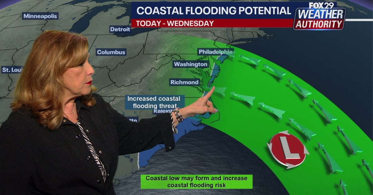 Coastal flooding threat looms for New Jersey, Delaware as nor'easter develops offshore
A developing nor'easter off the Carolina coast is expected to stay offshore but will still bring high winds, heavy surf, and possible coastal flooding along the Jersey Shore and Delaware beaches this week. PHILADELPHIA…
-
 Before you crank up the thermostat, try these tips to keep your house warmer for longer
As the UK braces for a chilly weekend, with powerful winds and heavy rain hitting parts of the country, people are looking for ways to bring some warmth to their homes without cranking up the heating just yet. It is…
-
 Thunderstorms, heavy rain and flash flooding predicted for much of Australia
Parts of Queensland, Victoria and South Australia can expect severe storms on Saturday, moving into NSW and Tasmania by Sunday Severe thunderstorms and heavy rain will sweep across most Australian states this weekend…
-
 Fall weather in full force across Georgia this weekend
CBS News Atlanta is a local news organization that is part of CBS News and Stations. Also referred to as WUPA and channel 69, CBS News Atlanta offers local breaking news, weather coverage and investigative reporting…
-
 Minnesota weather: one last warm day, then a damp, cool change | Oct. 23, 2026
CBS News Minnesota is a local news organization that is part of CBS News and Stations. Also referred to as WCCO-TV and channel 4, CBS News Minnesota offers local breaking news, weather coverage and investigative…
-
 Trains cancelled and roads warnings as Scotland prepares for Storm Boelo
Some train services will be cancelled during Storm Boelo Train services have been cancelled and police have warned against unnecessary road journeys as Scotland prepares for the arrival of Storm Boelo. Heavy rain and…
-
 Vance could be a major Category 3 hurricane Friday as it nears Mexico
Vance has become a hurricane off the coast of Mexico MIAMI — Vance became a hurricane Friday and the National Hurricane Center said it would strengthen rapidly as it nears Mexico’s Pacific Coast. Vance was a Category 1…
-
 Minnesota's weather is about to pivot back to fall | Oct. 23, 2026
CBS News Minnesota is a local news organization that is part of CBS News and Stations. Also referred to as WCCO-TV and channel 4, CBS News Minnesota offers local breaking news, weather coverage and investigative…
-
 Amber wind warning issued as storm sweeps in
An amber warning for wind has been issued for parts of Cumbria and the north-east of England as the region braces itself for Storm Boelo. High winds are expected to batter north and west Cumbria, including Carlisle…
Air quality
Acceptable. Unusually sensitive people should consider limiting prolonged outdoor exertion.
Kent County, DE reporting area · 1 hr ago. Data from AirNow (EPA and its state, local and tribal partners); preliminary and subject to change.
Sun & moon
Almanac
MonthlyDover, records since 1893. Normals 1991–2020. Data from NOAA's Regional Climate Centers (ACIS).
Nearby
- Vineland 58 km
- South Vineland 55 km
- Dover 3 km
- Millville 51 km
- Bridgeton 41 km
- Middletown 39 km
- Bear 56 km
- Elkton 59 km
- Glasgow 56 km
- Pennsville 58 km
- Smyrna 20 km
- Milford 26 km
Forecasters' discussion
From the National Weather Service office in PHI, issued 7 hrs ago
What Has Changed
Freeze Warnings and Frost Advisories issued for tonight through Saturday morning.
Key Messages
1. Elevated tide cycles persist due to Post-Tropical Cyclone Josephine well off the coast, resulting in widespread minor coastal flooding continuing in Ocean County, NJ and Sussex County, DE.
2. Frost and freeze impacts likely tonight and Saturday night where the growing season continues.
Discussion
KEY MESSAGE 1...Elevated tide cycles persist due to Post- Tropical Cyclone Josephine well off the coast, resulting in widespread minor coastal flooding continuing in Ocean County, NJ and Sussex County, DE.
As Post-Tropical Cyclone Josephine lingers well off the coast elevated tide cycles are persisting some areas.
In Ocean County, New Jersey and Sussex County, Delaware, water levels remain elevated and minor tidal flooding is continuing, particularly in the back bays. In fact a few locations in the back bays came very close to or even touched moderate levels of coastal flooding yesterday with the high tide. It's going to take some time for water levels to diminish in these areas so we've continued the Coastal Flood Advisory for these counties through this evening. Elsewhere along the Atlantic coast and Delaware Bay any additional coastal flooding looks to be spotty at most.
At this time we are not forecasting any coastal flooding for the Maryland eastern shore.
KEY MESSAGE 2...Frost and freeze impacts likely tonight and Saturday night where the growing season continues.
A Freeze Warning was issued for areas north and west of the I-95 corridor from midnight until 9AM Saturday where the growing season remains active. For the I-95 corridor and areas south and east, a Frost Advisory was issued from midnight until 9AM Saturday for all other zones, excluding Cape May County in New Jersey, Sussex County in Delaware, and the coastal strip in both states.
Aviation
The following discussion is for KPHL, KPNE, KTTN, KABE, KRDG, KILG, KMIV, KACY and surrounding areas.
Rest of today (through 00Z)...VFR. North winds around 7-12 kt will become more easterly late in the day. A few gusts up to 15 kt possible in the early afternoon. High confidence.
Tonight...VFR. Winds northeast around 5 kts or less. High confidence.
Saturday...VFR SKC. Winds variable around 5 kts or less. High confidence
Outlook...
Saturday night through Wednesday...VFR. No significant weather expected.
Forecasts, observations and alerts in the United States come from the National Weather Service (NOAA); radar from NOAA's Multi-Radar Multi-Sensor system; satellite imagery from NASA's Global Imagery Browse Services (GIBS) and NOAA's GOES satellites; the map from the U.S. Geological Survey's National Map; air quality from AirNow (EPA and its partners); hurricane information from the National Hurricane Center; climate normals and records from NOAA's Regional Climate Centers (ACIS). Forecasts outside the United States and the UV index: MET Norway (CC BY 4.0); observations outside the U.S.: airport reports via NOAA's Aviation Weather Center. Place names: GeoNames (CC BY 4.0). Data are copied on a schedule and may lag the sources; for warnings that affect your safety, follow your local National Weather Service office and emergency officials. Weather news is drawn from the 4Search index and reflects what the press published. Terms of use.