Install
Northwest Harwinton, CT Weather
Current conditions
Observed at Oxford, Waterbury-Oxford Airport · 40 min ago
Forecast
10-day-
Overnight
Clear, with a low around 43. North wind around 7 mph.
-
Tuesday
Sunny, with a high near 64. North wind 7 to 12 mph, with gusts as high as 24 mph.
-
Tuesday Night
Mostly clear, with a low around 40. North wind 6 to 9 mph.
National Weather Service forecast updated 2 hrs ago.
Hourly
Hourly forecast- Now46°
- 6 AM46°
- 7 AM46°
- 8 AM47°
- 9 AM50°
- 10 AM53°
- 11 AM57°
- 12 PM60°
- 1 PM61°
- 2 PM62°
- 3 PM62°
- 4 PM61°
- 5 PM60°
- 6 PM58°
- 7 PM55°
- 8 PM51°
- 9 PM49°
- 10 PM48°
- 11 PM47°
- Wed12 AM46°
- 1 AM45°
- 2 AM45°
- 3 AM43°
- 4 AM43°
10-day forecast
Details- TonightOct 19Clear43°
- TodayOct 20Sunny40°64°
- WedOct 21Mostly Sunny39°57°
- ThuOct 22Sunny37°61°
- FriOct 23Sunny34°52°
- SatOct 24Sunny37°54°
- SunOct 25Sunny42°61°
- MonOct 26Mostly Sunny64°
- TueOct 27Cloudy0.08 in40°59°
- WedOct 28Light rain0.06 in39°45°
Days after the National Weather Service's seven are MET Norway's outlook, a computer model with no forecaster's review.
Radar
Full mapWeather news in Connecticut
More weather news-
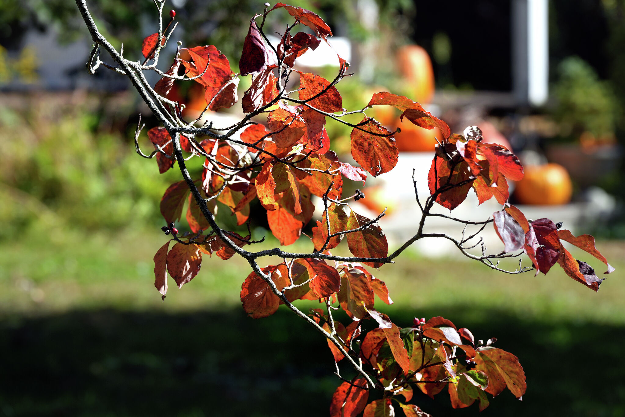 A warmer Tuesday in Connecticut with a mix of sun and clouds. Here's when the chill sets in again.
Leaves begin to change color at a home on Sport Hill Road in Easton on Oct. 7, 2026. Another day of seasonable fall weather is in store for Connecticut Tuesday — but expect it to be a little cloudier and breezier than…
- Wfsb says Connecticut stays mostly dry as offshore storm nears
Wfsb says Connecticut should stay mostly dry and mild this week as a nor’easter strengthens offshore, with only a low chance of rain late Wednesday and Wednesday night in southeastern Connecticut. Most of the state…
-
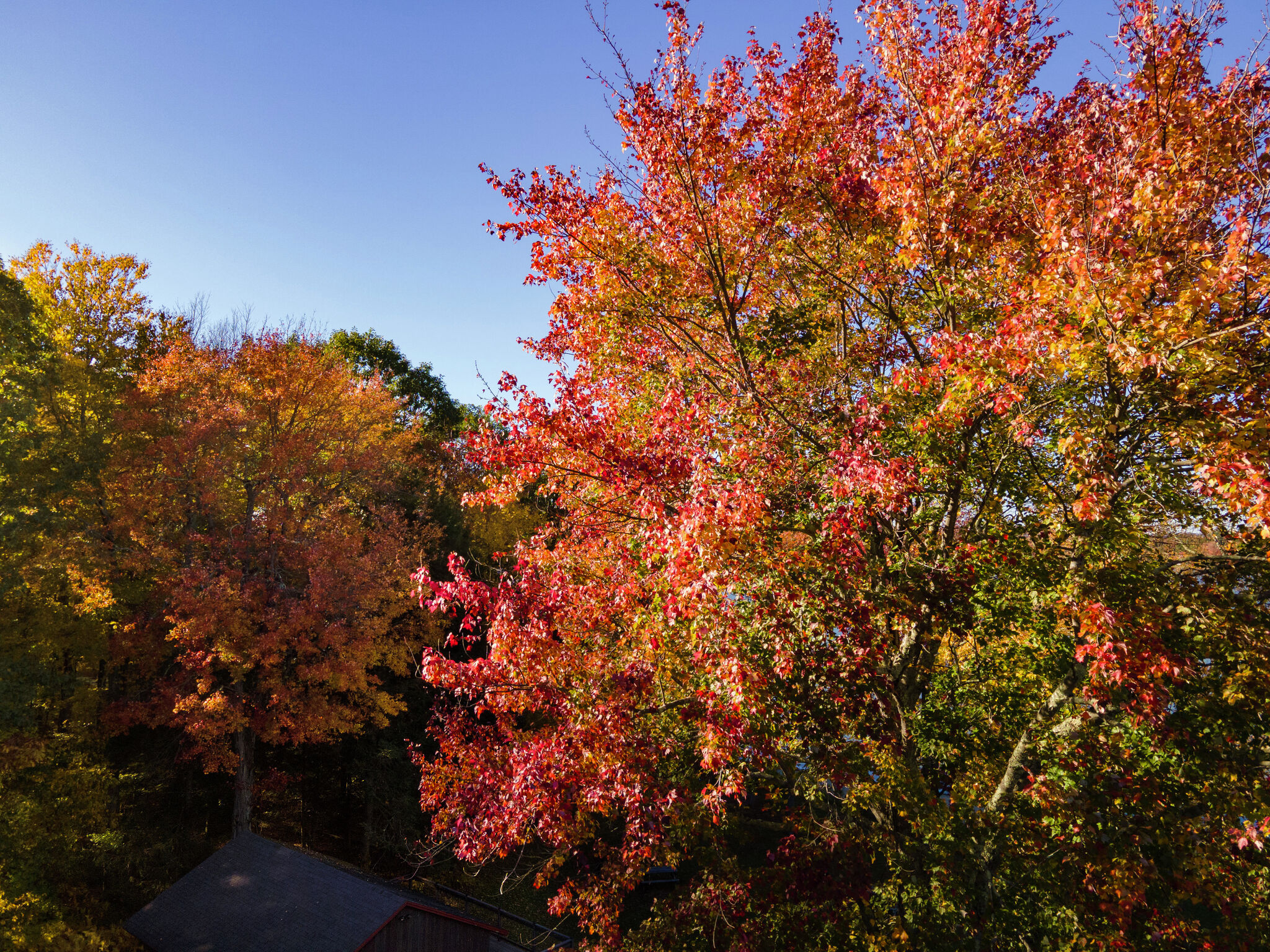 Colorful peak fall foliage is spreading across Connecticut. Here’s when to see it
Trees bursting with color at Bantam Lake in Morris Oct. 15, 2026. Fall foliage surrounds First Congregational Church in Litchfield Oct. 15, 2026. Fall foliage along Bantam Lake's eastern/southeastern shore in Morris…
-
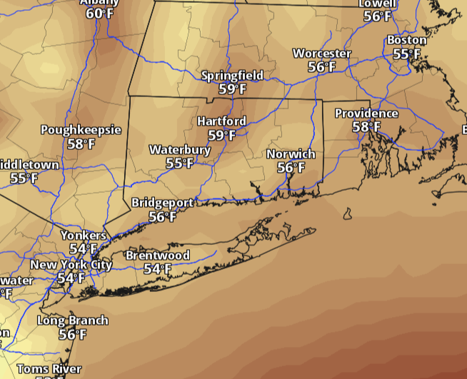 Connecticut warms back toward 60 Monday after weekend chill. Here's when rain returns.
Connecticut starts the week with a chilly morning and plenty of sunshine, but the weekend’s deep chill is easing. Temperatures will climb back toward 60 degrees Monday, with lighter winds and dry weather statewide. The…
-
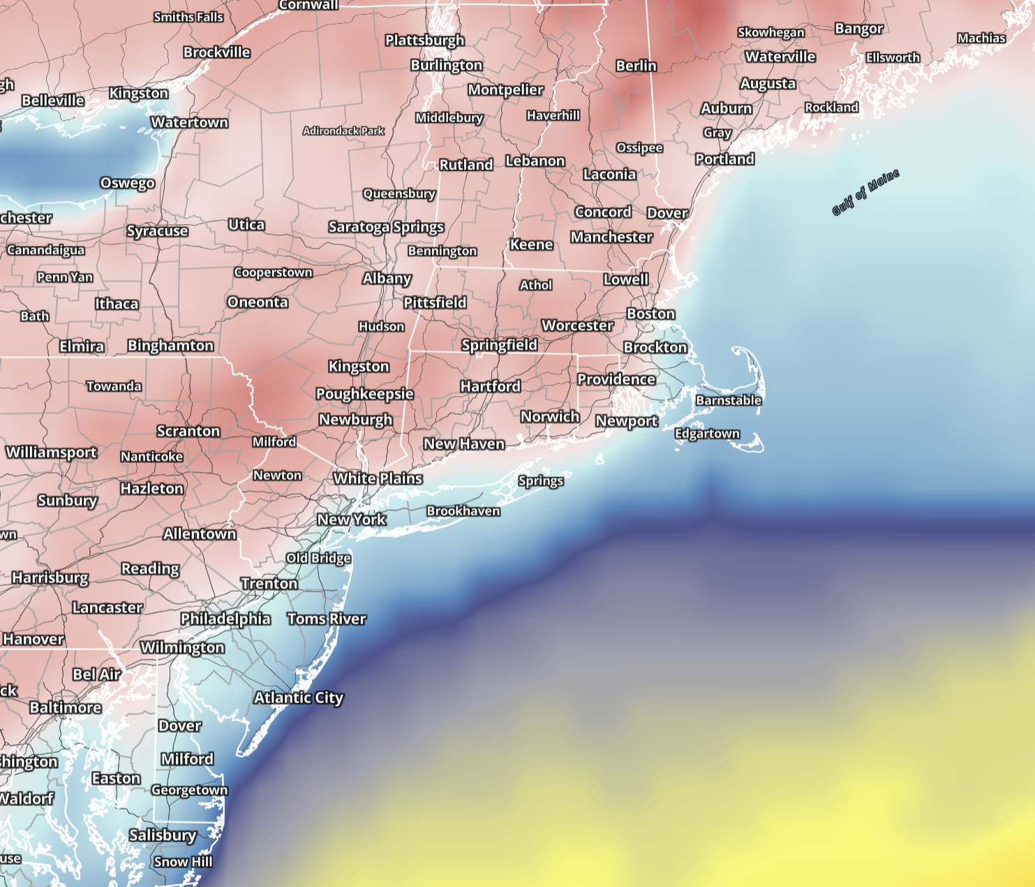 Connecticut wakes to 20s and 30s Sunday before sunshine pushes highs into 50s. Here's the forecast.
Saturday brought the coldest air of the season so far, and Sunday keeps the autumn chill in place across Connecticut. Sunshine returns statewide, winds ease considerably and temperatures make a modest recovery, although…
-
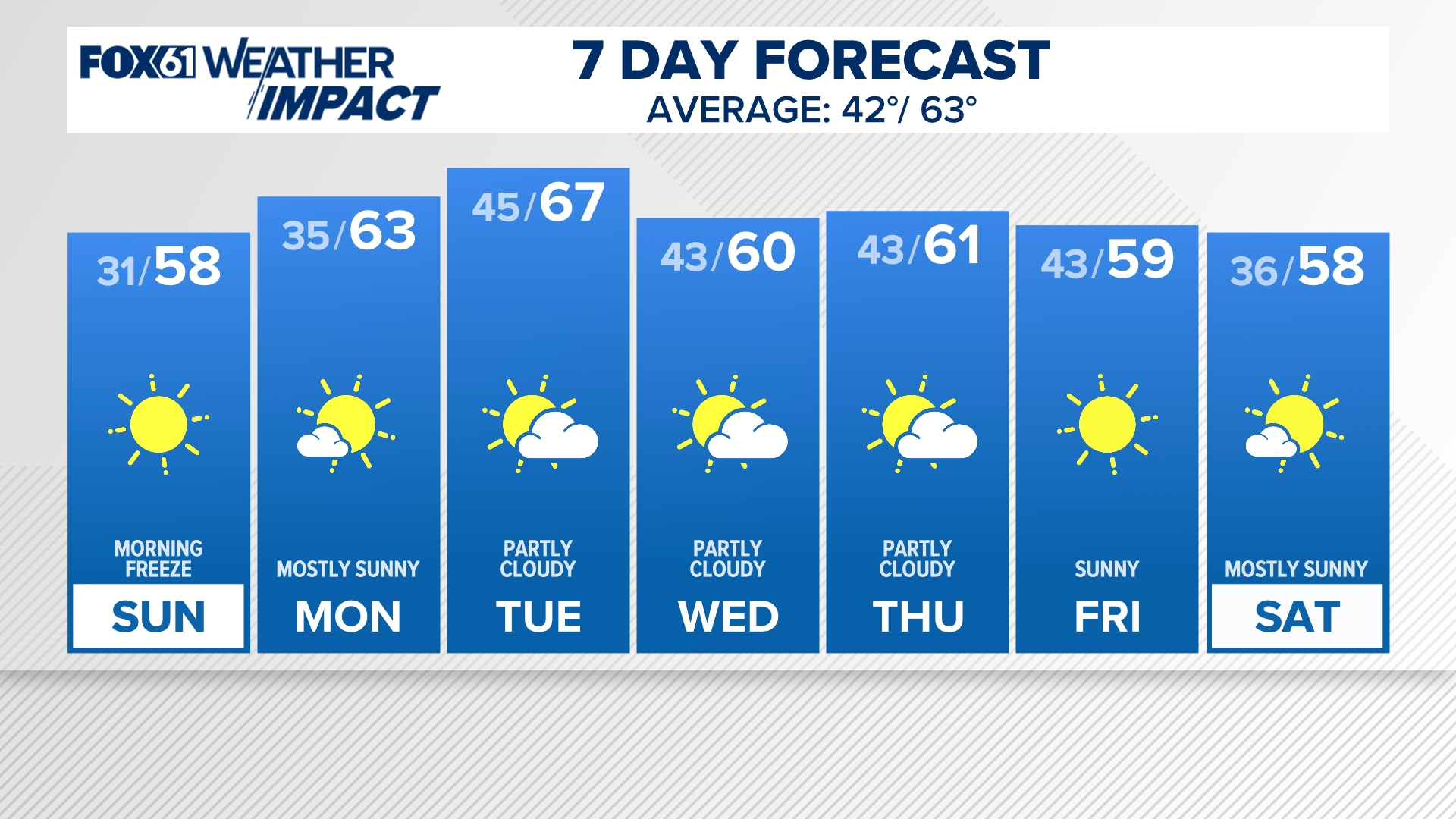 CONNECTICUT FORECAST: Morning - Sunday, Oct. 18, 2026
fox61.com CONNECTICUT FORECAST: Morning - Sunday, Oct. 18, 2026 To stream FOX61 on your phone, you need the FOX61 app. Download the FOX61 app Next up in 5 Example video title will go here for this video Before You…
-
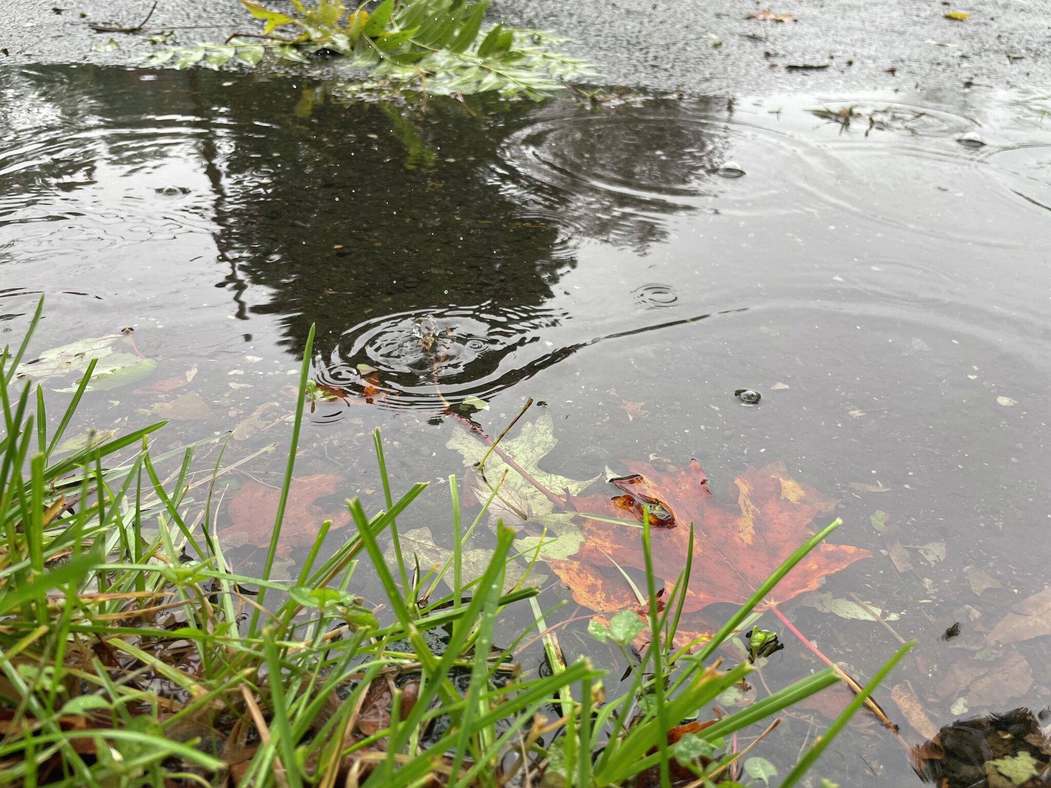 Connecticut rain totals: More than 17 towns topped 0.5 inches
Rain and gusty winds moved across Connecticut Friday into Saturday morning as a cold front brought a sharp drop in temperatures. Canaan recorded over three quarters of an inch of rain Saturday while more than 17…
-
 Hazardous Weather Outlook Issued For Inland Sections Of Southern Connecticut
INLAND SECTIONS OF SOUTHERN CONNECTICUT — A hazardous weather outlook and freeze warning have been issued for interior sections of southern Connecticut from midnight until 9 a.m. Sunday. "Sub-freezing temperatures as…
-
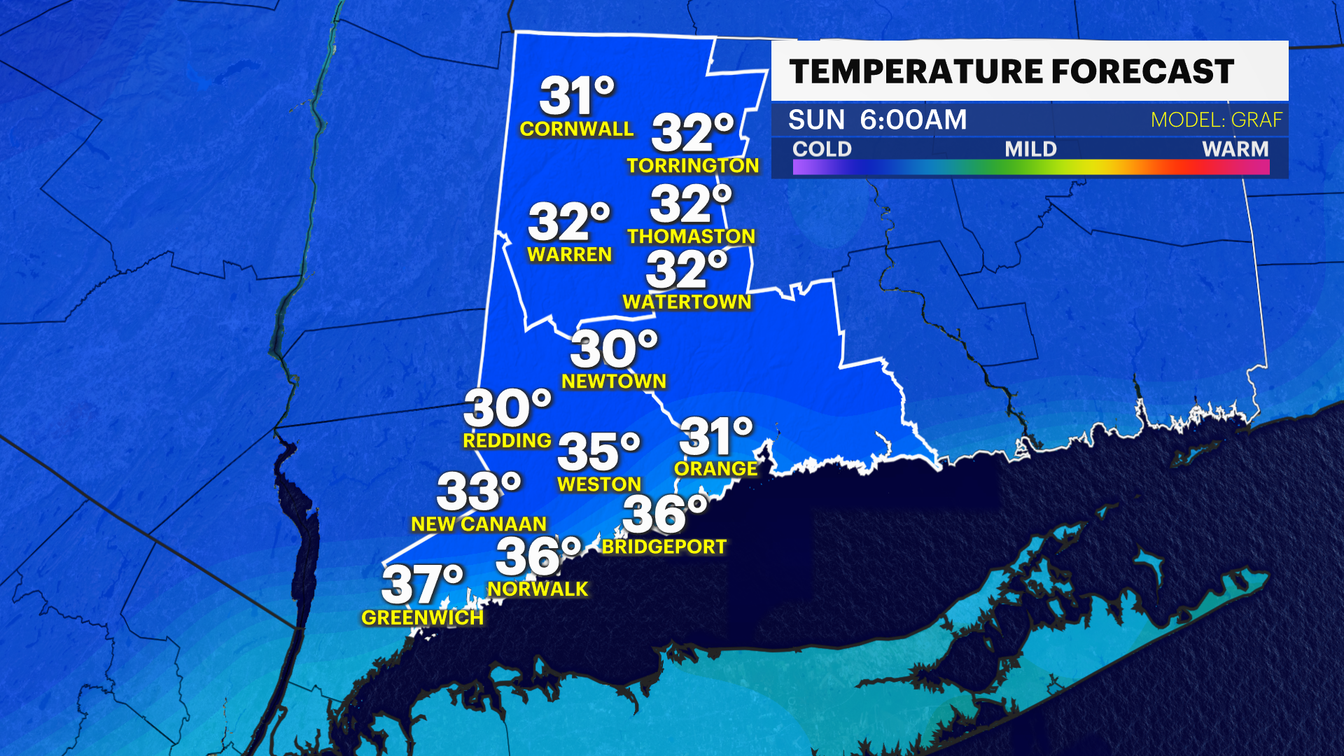 Freeze warnings in effect for much of Connecticut tonight
Oct 17, 2026, 5:46 AM A Freeze Warning is in effect north of I-95 tonight. Widespread freezing cold is expected there tonight with scattered frost expected south to Merritt Parkway Windy & feels like only 50-degrees…
-
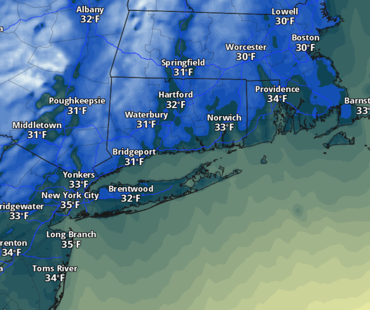 Saturday will feel more like November in Connecticut as temperatures dive. Here's how cold it'll be.
The change will be hard to miss Saturday morning. Temperatures will tumble behind Friday’s cold front, with readings starting in the 30s and 40s across much of Connecticut. A few lingering showers are possible early…
Air quality
Air quality is satisfactory, and air pollution poses little or no risk.
Forecast
- TueGood (33)
Torrington, CT reporting area · 1 hr ago. Data from AirNow (EPA and its state, local and tribal partners); preliminary and subject to change.
Sun & moon
Nearby
- Springfield 54 km
- New Haven 54 km
- Hartford 33 km
- Waterbury 24 km
- Danbury 53 km
- New Britain 28 km
- West Hartford 28 km
- Bristol 16 km
- Meriden 35 km
- Hamden 45 km
- Chicopee 57 km
- West Haven 57 km
Forecasters' discussion
From the National Weather Service office in ALY, issued 3 hrs ago
What Has Changed
Lowered dew points this afternoon and tomorrow afternoon given continued dry air advection.
Key Messages
1) Dry weather will persist this week across eastern New York and western New England while a Nor'easter meanders well offshore.
Discussion
KEY MESSAGE 1...
High confidence in a prolonged stretch of dry weather across eastern NY and western New England through this week and even into this weekend as high pressure dominates the weather pattern. With our ~1030-1035hPa high centered in western Quebec today and a slowly strengthening nor'easter well off the North Carolina/mid-Atlantic coast, the pressure gradient overhead will tighten enough today to promote breezy northerly winds. The strongest winds will likely be in the north-south oriented Hudson Valley as winds funnel down the valley with a 50 to 75% chance for wind gusts to exceed 20mph until 21-23 UTC when the atmosphere decouples. Otherwise, we will enjoy seasonable temperatures this afternoon under abundant sunshine. The persistent northerly winds will also maintain dry air advection with PWATs likely dropping towards 0.25" this afternoon. High pressure builds further east tomorrow, reducing the pressure gradient and leading to weaker winds with some cirrus clouds from our nor'easter spreading overhead. By Thursday, a moisture starved shortwave trough tracks through southern Canada, helping direct our nor'easter further north and east before it exits out to sea. While there is some uncertainty within the latest ensemble guidance on far west the sfc low tracks, there is a high confidence that it remains well offshore to not pose any direct impacts to our area. The trough axis will be too dry to support precip but winds should become a bit breezy ahead of and behind the boundary as cold/dry air advection ensues. In fact, there is a 30 to 50% chance for wind gusts to exceed 30mph in the 24hr period from 2AM Thurs to 2AM Fri. Canadian high pressure builds overhead Friday into the weekend, continuing our sunny and dry stretch with seasonably cool temperatures Friday. Favorable radiational cooling conditions Friday and Saturday night will likely support chilly overnight temperatures with greater than a 75% chance for Fri night lows to fall below 35 degrees.
Aviation
Through 06z Wednesday...VFR conditions likely prevail at all terminals as a light wind should prevent fog formation through early this morning. There is a low chance for brief river fog to track to ALB but not enough confidence to include in this update.
Then, high pressure maintains SKC conditions during the day. Northerly winds 3-5 kt tonight increase by mid- morning rising to 5 - 11kts with gusts up to 15-25 kt (strongest at PSF/ALB/GFL) through late afternoon. Then, gusts diminish around sunset, but 5-7 kt N/NW winds persist through the end of the TAF period.
Outlook...
Wednesday Night to Sunday: No Operational Impact. NO SIG WX.
Forecasts, observations and alerts in the United States come from the National Weather Service (NOAA); radar from NOAA's Multi-Radar Multi-Sensor system; satellite imagery from NASA's Global Imagery Browse Services (GIBS) and NOAA's GOES satellites; the map from the U.S. Geological Survey's National Map; air quality from AirNow (EPA and its partners); hurricane information from the National Hurricane Center; climate normals and records from NOAA's Regional Climate Centers (ACIS). Forecasts outside the United States and the UV index: MET Norway (CC BY 4.0); observations outside the U.S.: airport reports via NOAA's Aviation Weather Center. Place names: GeoNames (CC BY 4.0). Data are copied on a schedule and may lag the sources; for warnings that affect your safety, follow your local National Weather Service office and emergency officials. Weather news is drawn from the 4Search index and reflects what the press published. Terms of use.