Install
Wray, CO Weather
Current conditions
Forecast for this hour (no station report in the last two hours)
Forecast
10-day-
Thursday Night
Mostly cloudy, with a low around 58.
-
Friday
Mostly sunny, with a high near 84.
-
Friday Night
A slight chance of rain showers after midnight. Partly cloudy, with a low around 50. Chance of precipitation is 20%.
National Weather Service forecast updated 2 days ago.
Hourly
Hourly forecast- Now61°
- 4 AM60°
- 5 AM59°
- 6 AM59°
- 7 AM60°
- 8 AM63°
- 9 AM66°
- 10 AM71°
- 11 AM76°
- 12 PM81°
- 1 PM83°
- 2 PM84°
- 3 PM84°
- 4 PM83°
- 5 PM80°
- 6 PM75°
- 7 PM71°
- 8 PM68°
- 9 PM65°
- 10 PM63°
- 11 PM61°
- Sat12 AM59°15%
- 1 AM57°15%
- 2 AM55°15%
10-day forecast
Details- TueOct 20Mostly Sunny45°73°
- WedOct 21Sunny49°78°
- ThuOct 22Mostly Sunny58°81°
- TodayOct 23Mostly Sunny15%50°84°
- SatOct 24Chance Rain Showers36%39°63°
- SunOct 25Mostly Sunny15%41°63°
- MonOct 26Slight Chance Rain Showers then Mostly Sunny15%38°65°
- TueOct 27Cloudy0.12 in34°44°
- WedOct 28Sunny34°54°
- ThuOct 29Mostly sunny32°52°
Days after the National Weather Service's seven are MET Norway's outlook, a computer model with no forecaster's review.
Radar
Full mapWeather news in Colorado
More weather news-
 Thursday evening showers with more rain coming up in southern Colorado
KOAA News 5 Tonight's Forecast:A few more showers are expected for the Pikes Peak Region, Pueblo county and the plains are expected for Thursday evening Overnight lows will drop into the 40s and 50s for most across…
-
 It's Only October, But Colorado Forecasters Are Already Warning About Avalanches
Powder and Yahoo may earn commission from links in this article. Halloween hasn't arrived yet, but avalanche forecasters in Colorado are already asking people who might go backcountry skiing to stay safe. The cautionary…
-
 #Drought news October 22, 2026: Improvements occurred across portions of #Kansas, #Nebraska, #Colorado, #Wyoming, #Utah, #Arizona and #NewMexico
Drought news October 22, 2026: Improvements occurred across portions of #Kansas, #Nebraska, #Colorado, #Wyoming, #Utah, #Arizona and #NewMexico coyotegulch.blog Click on a thumbnail graphic to view a gallery of drought…
-
 Rain eases Western Colorado drought, but roads turn slick
GRAND JUNCTION, Colo. (KJCT) - Western Colorado is getting some much needed rain, but the wet weather also creates the conditions for hazardous road conditions. Recent rain is helping Western Colorado make up for a…
-
 Showers chances in southern Colorado on Thursday with mild temperatures
KKTV - Lingering showers for some Thursday PM into Friday WEDNESDAY NIGHT: More southwestern Colorado mountain showers are possible with risks of flooding and mudslides. Southern Colorado stays dry for the evening with…
-
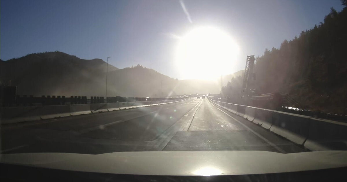 Bright sun glare prompts I-70 closures in Colorado's mountains, from sunrise to mid-morning
October 21, 2026 / 9:43 AM MDT / CBS Colorado As the days get shorter with winter approaching, drivers in Colorado traveling on I-70 will start running into a new issue: sun glare while they are driving. The Colorado…
-
 Warm temps to mean inches of rain instead of 26″ of snow in Colorado
Denver Gazette Significant rainfall is expected in Colorado over upcoming hours, likely to result in debris flows and flash flooding in the southwest region of the state. Per a report from the National Weather Service…
-
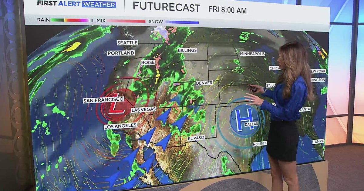 Southwest Colorado braces for heavy rain while dry and warm weather continue for Denver
CBS News Southwest Colorado braces for heavy rain while dry and warm weather continue for Denver I-25 expansion project in Northern Colorado nears completion Ugandan priest released from ICE custody after more than a…
-

-
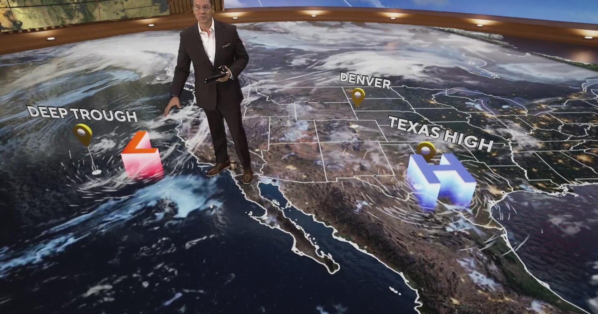 More clouds for Front Range with flooding rains heading to southwest Colorado
CBS News More clouds for Front Range with flooding rains heading to southwest Colorado MS misdiagnoses raise concerns, Colorado doctors warn of unnecessary treatment risks College bound Coloradans get ready for state…
Sun & moon
Nearby
Forecasters' discussion
From the National Weather Service office in GLD, issued 14 hrs ago
Key Messages
- Isolated showers and thunderstorms this evening in Colorado, then widely scattered showers and thunderstorms Friday afternoon and evening. Locally strong wind gusts up to 60 mph possible with storms on Friday.
- Windy conditions on Friday with gusts of 40 to 50 mph expected. Patchy blowing dust possible.
- Periodic rain chances through the weekend with cooler temperatures.
Short Term
Issued at 115 PM MDT Thu Oct 22 2026
System in the Desert Southwest will come out in two pieces through the weekend. First part will get picked up by a northern stream shortwave tonight and Friday and be pulled into the northern Rockies. On that track best forcing will stay west of the area, but the CAMs do show scattered showers and isolated thunderstorms both this afternoon and evening and again Friday afternoon and evening. Coverage looks slightly better on Friday due to the height falls associated with the passing wave. Instability today will be less than 500 j/kg and deep layer shear will be around 20 kts, while on Friday instability increases slightly to around 750 j/kg as does shear to 25-30 kts. Not really expecting severe storms either day, but model output does suggest that wind gusts could approach 60 mph with thunderstorms Friday afternoon and evening with favorable DCAPE values up to 1000 j/kg. Even outside of the convection on Friday, gradient winds will gust 40-50 mph with the deepening lee trough in Colorado. Latest probabilities for meeting High Wind Warning criteria (58 mph) Friday afternoon are around 20% in a small area of northeast Colorado, so the strongest winds will probably be associated with the convection through the evening hours. Relative humidity minimums Friday afternoon are expected to stay above 20% which should mitigate any fire weather concerns, Scattered light showers and perhaps an isolated thunderstorm will continue through the overnight with MUCAPE around 500 j/kg.
On Saturday, a surface front makes its way through the area in the morning and early afternoon. Embedded waves in the southwest flow aloft ahead of the cut off low meandering into the Four Corners will also provide synoptic scale lift. Models show a fairly narrow band of showers and isolated thunderstorms accompanying the front. Another surge of moisture moves north Saturday night with additional waves ahead of the main low. By Sunday, the upper low is beginning to transition to an open wave as it moves into Colorado, with widespread rain ahead of it in the plains. This will be a very slow moving system, so periodic rain chances continue through Sunday night. 48-hour QPF means through 12z Monday show a swath of 2-3" will be possible from McCook to Goodland and Tribune, with 1-2" elsewhere, while 25th percentile totals are running 1-2" in the same area and 0.50-1" elsewhere, which may be a more realistic expectation. Given the extended time frame over which the rain will fall, not expecting flash flooding at this time, though there is a low probability (less than 20%) of areal flooding by Sunday if the higher end rain totals can materialize.
As for temperatures, will see one more warm day on Friday with highs mainly in the 70s, then temperatures fall behind the front on Saturday into the 60s and 70s, with coolest day on Sunday with the clouds and precipitation and highs in the 50s. May see some fog develop over the weekend as well with the saturated conditions.
Long Term
Issued at 233 AM MDT Thu Oct 22 2026
On Sunday and into Tuesday morning, a low pressure over the Four Corners region will provide southwesterly flow aloft is still persistent over the forecast area until Monday evening. During this time, a high-pressure system over the Gulf will start bringing in low- to mid-level moisture. With the vorticity and moisture advection, this could lead to long lasting showers over the area until Monday evening. Showers on Sunday and Monday are forecast to be widespread across the County Warning Area (CWA). There is high confidence (70%) that rain totals could exceed a tenth (0.10) of an inch over the area. Precipitation will continue from the short term period and persist until early Tuesday morning.
During this event, northerly cold air advection will consistently cool down temperatures. High temperatures for Sunday are forecast to be in the 50s to low 60s and then cooling 5 to 7 degrees. Low temperatures for Monday are forecast to be from the mid 40s in the southeast and mid 30s in the northwest of the CWA and then cool down an additional 5 to 8 degrees Tuesday. With this, there is potential for a brief period of near freezing temperatures before the precipitation moves out, introducing a brief rain/snow mix. The most likely area to see this mix is northwest of a line from Vona, Colorado to Swanson Lake around sunrise Tuesday morning. No snow accumulation is expected at this point.
On Tuesday, the pattern starts to become uncertain as the trough weakens and slides north over the Kansas-Nebraska state line. Once it moves through, a ridge axis will slide into the area. While it is favored for the ridge to pass through on Tuesday, there are some timing issues within guidance that could either speed up or delay the ridge. If the ridge speeds up, this could lead to showers moving out of the area sooner than expected and help temperatures increase. If the ridge slows down, we then could see showers midday tuesday with slightly cooler temperatures. After this, the ridge will lead into a warming trend lasting into Wednesday with highs in the mid 60s.
Aviation
Issued at 1123 AM MDT Thu Oct 22 2026
VFR expected to prevail at both KGLD and KMCK through the TAF period. Surface winds gusting 20-30 kts can be expected ahead of an approaching system.
Forecasts, observations and alerts in the United States come from the National Weather Service (NOAA); radar from NOAA's Multi-Radar Multi-Sensor system; satellite imagery from NASA's Global Imagery Browse Services (GIBS) and NOAA's GOES satellites; the map from the U.S. Geological Survey's National Map; air quality from AirNow (EPA and its partners); hurricane information from the National Hurricane Center; climate normals and records from NOAA's Regional Climate Centers (ACIS). Forecasts outside the United States and the UV index: MET Norway (CC BY 4.0); observations outside the U.S.: airport reports via NOAA's Aviation Weather Center. Place names: GeoNames (CC BY 4.0). Data are copied on a schedule and may lag the sources; for warnings that affect your safety, follow your local National Weather Service office and emergency officials. Weather news is drawn from the 4Search index and reflects what the press published. Terms of use.