Install
Yorba Linda, CA Weather
Current conditions
Forecast for this hour (no station report in the last two hours)
Forecast
10-day-
Monday
Sunny, with a high near 81. South wind 0 to 10 mph.
-
Monday Night
Mostly clear, with a low around 57. Southeast wind 0 to 5 mph.
-
Tuesday
Sunny, with a high near 77. South wind 0 to 5 mph.
National Weather Service forecast updated 5 hrs ago.
Hourly
Hourly forecast- Now59°
- 8 AM61°
- 9 AM65°
- 10 AM68°
- 11 AM75°
- 12 PM77°
- 1 PM78°
- 2 PM80°
- 3 PM80°
- 4 PM79°
- 5 PM78°
- 6 PM74°
- 7 PM70°
- 8 PM68°
- 9 PM66°
- 10 PM64°
- 11 PM63°
- Tue12 AM62°
- 1 AM61°
- 2 AM59°
- 3 AM58°
- 4 AM58°
- 5 AM57°
- 6 AM57°
10-day forecast
Details- TonightOct 25Mostly Clear59°
- TodayOct 26Sunny57°81°
- TueOct 27Sunny57°77°
- WedOct 28Partly Sunny58°76°
- ThuOct 29Mostly Cloudy15%59°73°
- FriOct 30Slight Chance Rain Showers then Partly Sunny20%58°71°
- SatOct 31Chance Rain Showers50%57°69°
- SunNov 1Chance Rain Showers50%68°
- MonNov 2Sunny58°80°
- TueNov 3Sunny56°79°
Days after the National Weather Service's seven are MET Norway's outlook, a computer model with no forecaster's review.
Radar
Full mapWeather news near Yorba Linda
More weather news-
 Be prepared for strong thunderstorms in the Orange County and Santa Ana Mountains area Friday evening
Santa Ana Mountains/Foothills, Orange County Coast, Orange County and San Bernardino and Riverside County Valleys were placed under an updated report for strong thunderstorms by the National Weather Service on Friday at…
-
 North County weather whiplash: Roasty to rainy, historic high tides
North San Diego County experienced another sharp October weather reversal over the past week, as warm Santa Ana conditions gave way to cooler temperatures, gusty winds and widespread showers that brought more than an…
-
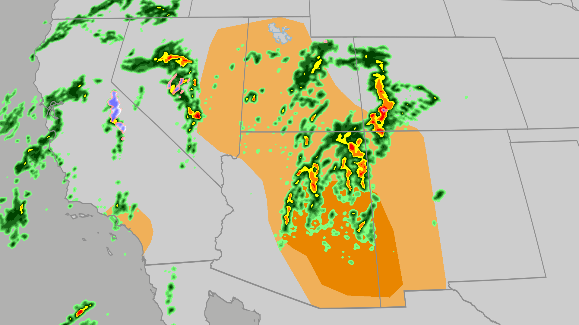 Severe weather, flood risk across Four Corners, California
The Weather Channel Tornadoes, flooding, large hail possible in Four Corners, California Parts of the Four Corners and Southern California face an elevated risk of severe weather on Thursday, which includes the…
-
 Weather alert announced for strong thunderstorms in the Orange County and Santa Ana Mountains area Wednesday evening
The Orange County and Santa Ana Mountains area is the focus of a weather alert for strong thunderstorms issued at 5:49 p.m. on Wednesday by the National Weather Service. The alert is in effect until 6:30 p.m. Residents…
-
 Autumn Storm Arrives in Southland
Rain swept across most of the Southland Wednesday as a strong autumn storm moved over the area, promising to bring sometimes-heavy rain expected to last through at least Thursday, along with the possibility of…
-
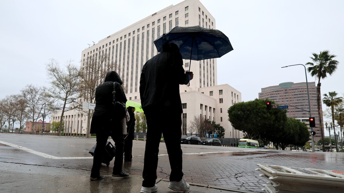 SoCal faces risks of downpours as October storm moves in
A strong autumn storm is expected to bring sometimes-heavy rain through at least Thursday. Amber Frias reports for the NBC4 News at 3 p.m. on Wednesday, Oct. 21, 2026. Rain swept across most of Southern California…
-
 Tropical Storm Vance has formed in the Pacific Ocean
Vance was located about 520 miles south of Acapulco, Mexico, on Wednesday afternoon. The center of the cyclone was at sea and posed no threat to land. Vance was located about 520 miles south of Acapulco, Mexico. Maximum…
-
 New storm moves into Southern California: What to expect
A new storm is moving into Southern California Wednesday. Here is what to expect: Moderate rain is in the forecast from Wednesday late morning to Thursday afternoon, according to the National Weather Service. The…
-
 Rain, possible thunderstorms to hit San Diego County mid-week
Meteorologist Greg Bledsoe gives his evening weather forecast for October 20, 2026. San Diego County's autumn whiplash weather pattern continues this week as a storm approaches the region, bringing with it cooler…
-
 Southern California's wild weather swings continue. Next up, rain
Southern California is likely in for a solid dose of rain this week, just days after heat and Santa Ana winds helped fuel several wildfires across the region. Forecasters expect the bulk of the rain to roll into the Los…
Air quality
Air quality is satisfactory, and air pollution poses little or no risk.
Forecast
- MonModerate (53)
North Orange CO, CA reporting area · 2 hrs ago. Data from AirNow (EPA and its state, local and tribal partners); preliminary and subject to change.
Sun & moon
Almanac
MonthlyLong Beach Area, records since 1958. Normals 1991–2020. Data from NOAA's Regional Climate Centers (ACIS).
Nearby
- Los Angeles 44 km
- Long Beach 37 km
- Anaheim 11 km
- Riverside 39 km
- Santa Ana 17 km
- Irvine 24 km
- San Bernardino 54 km
- Fontana 42 km
- Moreno Valley 54 km
- Huntington Beach 31 km
- Glendale 50 km
- Garden Grove 17 km
Forecasters' discussion
From the National Weather Service office in SGX, issued 2 hrs ago
Synopsis
Not much change in high temperatures is expected for today followed by a gradual cooling trend through next weekend. Chances for showers will increase each day for Thursday through Sunday with chances for heavier rainfall increasing during next weekend. There could also be stronger and gusty wind for late Saturday through Sunday. Tides will remain elevated through much of this week.
Aviation
261130Z...Mostly clear and VFR conditions today and tonight across the region. Except for patchy coastal low clouds based 700-1200 feet MSL after 08Z Tuesday, leading to a 20-40% chance of cigs at coastal airports Tuesday morning.
Marine
No hazardous marine conditions are expected through Friday. Except for a few wind gusts exceeding 20 knots in the outer coastal waters late this afternoon and evening.
Beaches
High tides during the late mornings will generate significant coastal flooding this week. Tides will be anywhere from 1.5 to 1.7 feet above astronomical predictions, likely raising high tides above 8 feet. A Coastal Flood Warning contains the details.
Forecasts, observations and alerts in the United States come from the National Weather Service (NOAA); radar from NOAA's Multi-Radar Multi-Sensor system; satellite imagery from NASA's Global Imagery Browse Services (GIBS) and NOAA's GOES satellites; the map from the U.S. Geological Survey's National Map; air quality from AirNow (EPA and its partners); hurricane information from the National Hurricane Center; climate normals and records from NOAA's Regional Climate Centers (ACIS). Forecasts outside the United States and the UV index: MET Norway (CC BY 4.0); observations outside the U.S.: airport reports via NOAA's Aviation Weather Center. Place names: GeoNames (CC BY 4.0). Data are copied on a schedule and may lag the sources; for warnings that affect your safety, follow your local National Weather Service office and emergency officials. Weather news is drawn from the 4Search index and reflects what the press published. Terms of use. How to use Weather