Install
Taft, CA Weather
Current conditions
Observed at WX6HNX-12 Taft · 1 hr ago
Forecast
10-day-
Wednesday
A chance of rain before 11am, then showers and thunderstorms. Mostly cloudy. High near 69, with temperatures falling to around 65 in the afternoon. South wind around 5 mph. Chance of precipitation is 90%. New rainfall amounts between a quarter and half of an inch possible.
-
Wednesday Night
Showers and thunderstorms before 2am, then a chance of rain. Mostly cloudy. Low around 52, with temperatures rising to around 56 overnight. South southwest wind 0 to 5 mph. Chance of precipitation is 80%. New rainfall amounts between a tenth and quarter of an inch possible.
-
Thursday
Rain likely before 2pm, then showers and thunderstorms likely between 2pm and 5pm, then a chance of rain. Partly sunny, with a high near 68. West wind 0 to 5 mph. Chance of precipitation is 60%. New rainfall amounts between a tenth and quarter of an inch possible.
National Weather Service forecast updated 12 hrs ago.
Hourly
Hourly forecast- Now67°86%
- 1 PM67°86%
- 2 PM67°86%
- 3 PM66°86%
- 4 PM66°86%
- 5 PM65°75%
- 6 PM64°75%
- 7 PM61°75%
- 8 PM59°75%
- 9 PM59°75%
- 10 PM60°75%
- 11 PM59°48%
- Thu12 AM59°48%
- 1 AM58°48%
- 2 AM58°48%
- 3 AM58°48%
- 4 AM56°48%
- 5 AM56°37%
- 6 AM55°37%
- 7 AM53°37%
- 8 AM54°37%
- 9 AM59°37%
- 10 AM63°37%
- 11 AM64°59%
10-day forecast
Details- TonightOct 20Chance Light Rain31%56°
- TodayOct 21Showers And Thunderstorms86%52°69°
- ThuOct 22Light Rain Likely then Showers And Thunderstorms Likely59%51°68°
- FriOct 23Mostly Sunny51°68°
- SatOct 24Sunny53°74°
- SunOct 25Sunny54°77°
- MonOct 26Sunny53°77°
- TueOct 27Sunny75°
- WedOct 28Cloudy58°82°
- ThuOct 29Partly cloudy57°84°
Days after the National Weather Service's seven are MET Norway's outlook, a computer model with no forecaster's review.
Radar
Full mapWeather news in California
More weather news-
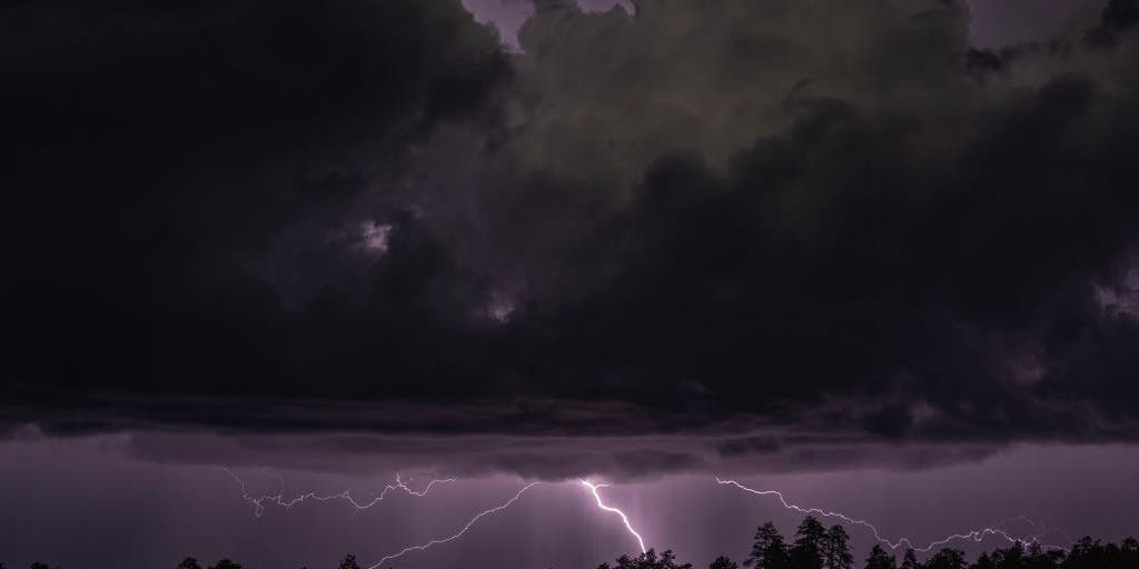 Rare severe storm threat targets Southern California while Arizona faces potential egg-sized hail, tornadoes
FLAGSTAFF, Ariz. — Severe thunderstorms blasted parts of Arizona early Wednesday ahead of a rare severe weather threat that will intensify through the day and into the evening. Parts of the state, including Flagstaff…
-
 California's rainy season to arrive with flood threat, tornado risk and Sierra snow
California's wet season is starting off with a bang. The first significant storm of the season is forecast to bring heavy rain to vulnerable burn scars near Big Sur, coastal tornado risk to the Los Angeles area, and a…
-
 Storms descend on Southern California, raising risk of dangerous surf, flooding, debris flows
Rain is anticipated for Southern California on Wednesday into Thursday as the National Weather Service cautioned about potential beach hazards and thunderstorms from Oxnard to the Mexico border. The weather service's…
-
 Southern California's wild weather swings continue. Next up, rain
Southern California is likely in for a solid dose of rain this week, just days after heat and Santa Ana winds helped fuel several wildfires across the region. Forecasters expect the bulk of the rain to roll into the Los…
-
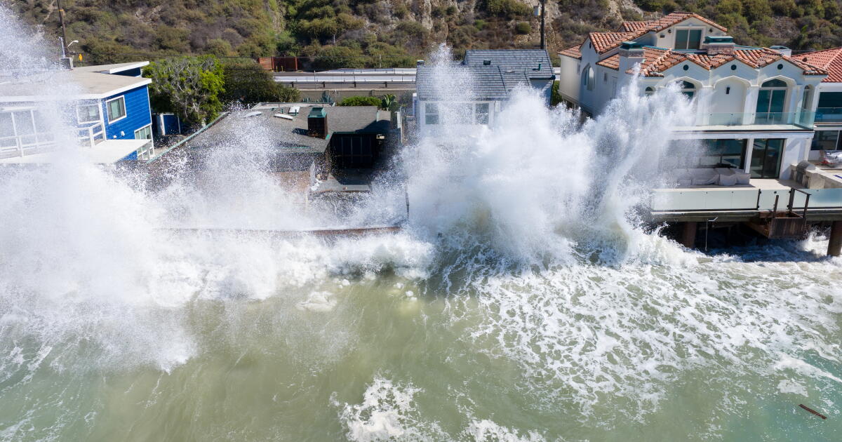 Rain and Thunderstorms Expected in Southern California with Beach Hazard Warnings
At SSBCrack News, our dedicated editorial team brings you the latest and most reliable updates on Defence, Geopolitics, Military Affairs, Science, and Technology. Driven by a passion for national security and strategic…
-
 Waterspouts possible off Southern California amid stormy weather
Southern California's stormy forecast includes a chance of isolated waterspouts offshore. They may look like tornadoes, but they're not. Our latest explainer breaks down what waterspouts are, how they form over the…
-
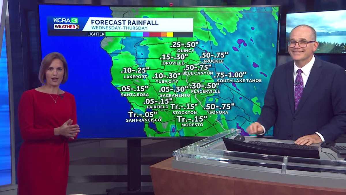 California weather with Dirk & Heather: Showers, thunderstorms and snow
Wednesday and Thursday will be cool and unsettled with scattered downpours. The first rain chances of the new water year are coming up quickly in Northern California! Wednesday and Thursday will be cool, cloudy and at…
- Flash-flood risk rises in Southern California, severe storms threaten Arizona
Satellite image of southwest U.S. at 17:20 UTC on October 20, 2026. Credit: NOAA/GOES-19, Zoom Earth, The Watchers The WPC Excessive Rainfall Discussion issued at 15:33 UTC on October 20 places portions of Southern…
-
 Mid-October Santa Ana winds rapidly spread wildfires in Southern California
Several fires have erupted recently amid strong, dry winds known as the Santa Anas. The name is commonly linked way back in the 1800s to Santa Ana Canyon in Orange County, through which these warm winds were known to…
- Winter weather advisory for California for Wednesday and Thursday
The NWS Hanford CA released a winter weather advisory at 12:51 p.m. on Tuesday valid from Wednesday 11 a.m. until Thursday 11 a.m. The advisory is for Yosemite, Upper San Joaquin River, Kaiser to Rodgers Ridge, Kings…
Air quality
Acceptable. Unusually sensitive people should consider limiting prolonged outdoor exertion.
Forecast
- WedModerate (67)
Bakersfield, CA reporting area · 1 hr ago. Data from AirNow (EPA and its state, local and tribal partners); preliminary and subject to change.
Sun & moon
Nearby
- Bakersfield 47 km
- Oildale 50 km
- Wasco 51 km
- Arvin 58 km
- Shafter 43 km
- Lamont 51 km
- Rosedale 39 km
- Greenacres 41 km
- Ford City 1 km
- Greenfield 44 km
- Frazier Park 59 km
- Weedpatch 50 km
Forecasters' discussion
From the National Weather Service office in HNX, issued 1 hr ago
Discussion
Time for your favorite part of the day, reading the Area Forecast Discussion (we got some action AND humor)! Some isolated thunderstorms have developed in Fresno County and along the Sierra Nevada Foothills (boom boom crash). Precipitation is currently spreading over the forecast area this morning and continuing into Thursday. Isolated cells have been producing strong updrafts and energy to possibly produce pea sized hail. The bulk of the precipitation will occur Wednesday afternoon until Thursday. Many locations can expect a total of one quarter to one half inch in the San Joaquin Valley, while there is near 60 percent chance of exceeding a half inch. That is a good amount of H2O from the sky for this region! The Flood Watch remains in effect for much of Kern County and the higher terrain along the west side of the San Joaquin Valley up to southwestern Fresno County near Coalinga. Higher amounts of precipitation are likely to occur over the Sierra Nevada from the foothills to about 8,000 feet. While some nuisance flooding is also a possibility in these areas, we anticipate less runoff except near burn scars. We are still looking at a good chance for at least a few inches of snow above 8,000 feet in the Sierra Nevada. We will continue the Winter Weather Advisory for these areas from Wednesday morning to Thursday morning. As cells continue to develop and move Southerly, isolated thunderstorms are possible in Kern County and into the mountains. As such, keep on the lookout for Special Weather Statements and advisories that are put out!
For Friday through next Tuesday, we are looking at continued cooler temperatures and mainly dry conditions. Although temperatures will warm up by several degrees for the weekend until Monday, we are projecting highs mainly in the 70s for the warmest locations. There is a slight chance of precipitation for the middle of next week, but with much uncertainty at this time.
Aviation
Isolated thunderstorms have been occurring since 17Z this morning near Fresno and along the Sierra Foothills. With mountain obscurations and visibilities creeping into the 5-6SM range, MVFR conditions in place with showers and isolated thunderstorms through at least today. Winds mainly up to 10 kts at the TAF sites, mainly from the east. Otherwise, VFR conditions will prevail for the next 24 hours.
Air Quality Issues
None.
Certainty
The level of certainty for days 1 and 2 is high. The level of certainty for days 3 through 7 is medium.
Certainty levels include low...medium...and high. Please visit www.weather.gov/hnx/certainty.html for additional information and/or to provide feedback.
Forecasts, observations and alerts in the United States come from the National Weather Service (NOAA); radar from NOAA's Multi-Radar Multi-Sensor system; satellite imagery from NASA's Global Imagery Browse Services (GIBS) and NOAA's GOES satellites; the map from the U.S. Geological Survey's National Map; air quality from AirNow (EPA and its partners); hurricane information from the National Hurricane Center; climate normals and records from NOAA's Regional Climate Centers (ACIS). Forecasts outside the United States and the UV index: MET Norway (CC BY 4.0); observations outside the U.S.: airport reports via NOAA's Aviation Weather Center. Place names: GeoNames (CC BY 4.0). Data are copied on a schedule and may lag the sources; for warnings that affect your safety, follow your local National Weather Service office and emergency officials. Weather news is drawn from the 4Search index and reflects what the press published. Terms of use.