Install
South Whittier, CA Weather
Current conditions
Observed at Long Beach, Long Beach Airport · 1 hr ago
Forecast
10-day-
Monday
Sunny, with a high near 80. Northwest wind 0 to 10 mph.
-
Monday Night
Mostly clear, with a low around 56. South wind around 5 mph.
-
Tuesday
Sunny, with a high near 78. South wind around 5 mph.
National Weather Service forecast updated 1 day ago.
Hourly
Hourly forecast- Now57°
- 8 AM57°
- 9 AM61°
- 10 AM65°
- 11 AM70°
- 12 PM74°
- 1 PM78°
- 2 PM80°
- 3 PM79°
- 4 PM78°
- 5 PM75°
- 6 PM73°
- 7 PM70°
- 8 PM70°
- 9 PM69°
- 10 PM68°
- 11 PM68°
- Tue12 AM67°
- 1 AM67°
- 2 AM66°
- 3 AM66°
- 4 AM66°
- 5 AM64°
- 6 AM61°
Daily forecast
Details- SunOct 25Sunny57°80°
- TodayOct 26Sunny56°80°
- TueOct 27Sunny57°78°
- WedOct 28Partly Sunny61°76°
- ThuOct 29Mostly Cloudy23%61°75°
- FriOct 30Chance Rain Showers37%59°71°
- SatOct 31Chance Rain Showers38%56°69°
- SunNov 1Partly cloudy0.20 in49°71°
- MonNov 2Partly cloudy49°71°
Days after the National Weather Service's seven are MET Norway's outlook, a computer model with no forecaster's review.
Radar
Full mapWeather news in California
More weather news-
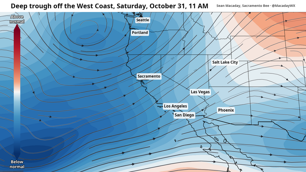 Will it rain on Halloween? What to expect as temps cool across California this week
Temperatures were spot-on average across California this past weekend, but cooler air will arrive this week and create a window for rain as Halloween nears. Mountain temps will remain cool in the 40s and 50s, with more…
-
 Will it rain on Halloween in Southern California? Here’s what forecasters say
Southern California residents may want to keep an umbrella handy this Halloween, as forecasters monitor another potential round of rain that could arrive just in time for trick-or-treating. A low-pressure system…
-
 California Weather: NHS Forecasts Clearning Skies, Light Showers, Strong Winds Across Sacramento, Sierra Foothills and Northern California – Check Forecast & Latest Updates
Northern California is forecast to see gradually clearing skies on Friday following recent unsettled weather. Read for more details. The post California Weather: NHS Forecasts Clearning Skies, Light Showers, Strong…
-
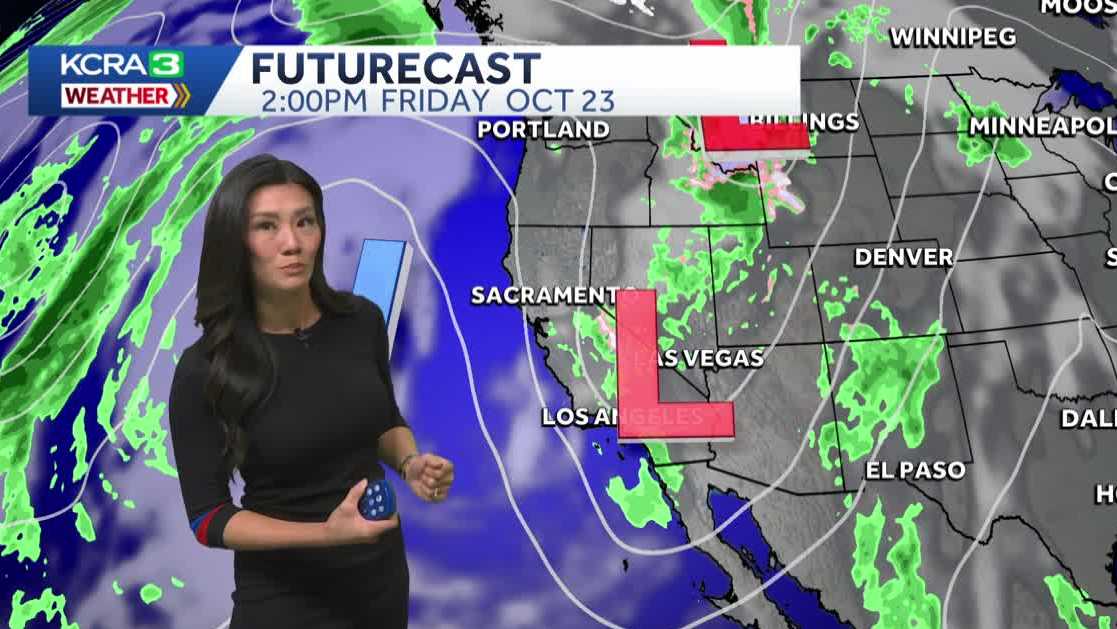 Northern California forecast: Warmer and breezy Friday as we dry out
Mist, sprinkles and light showers are lingering across Northern California this morning, but drier weather and sunshine will return by the afternoon. Most of the region should be dry by noon, with clearing skies…
- Thunderstorms with pea-sized hail in Central California Friday
A report from the NWS Hanford CA was issued on Friday at 3:41 p.m. for strong thunderstorms until 4:15 p.m. The alert is for Bakersfield, Southeast San Joaquin Valley, South End San Joaquin Valley, South End Sierra…
-
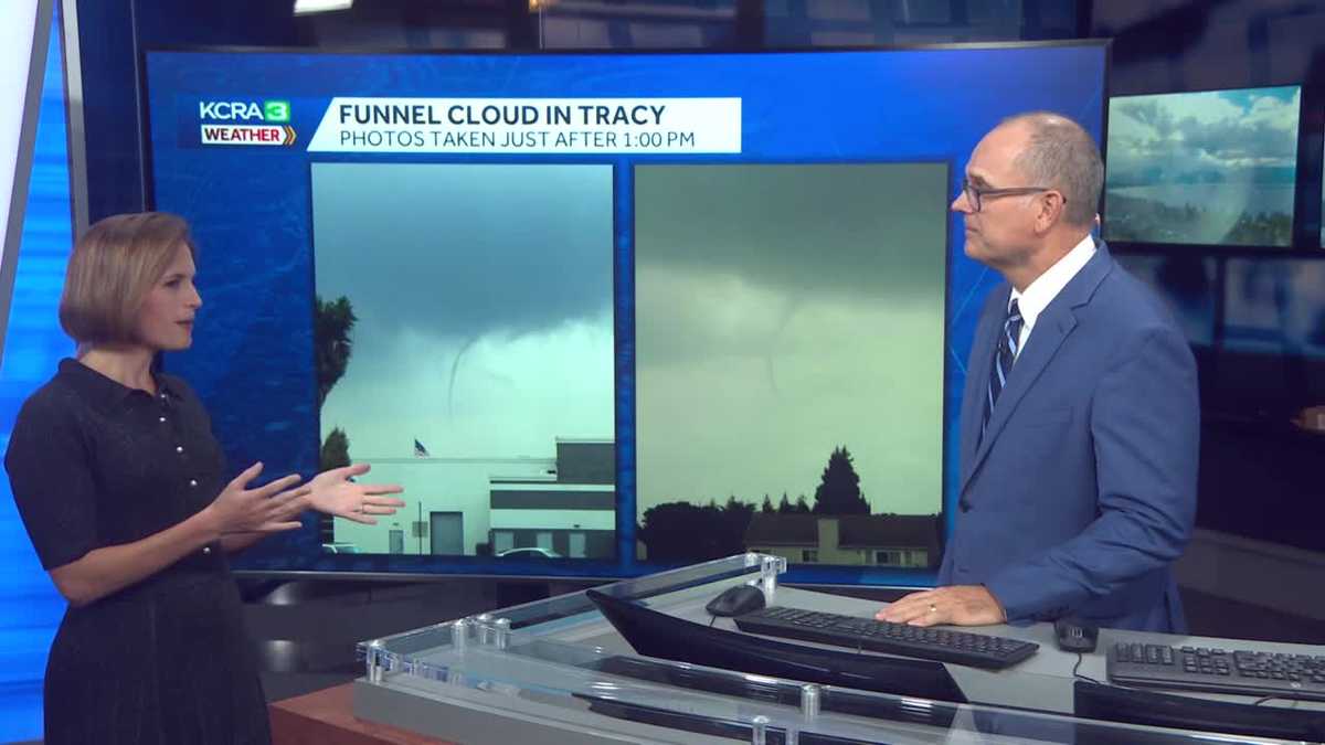 California weather with Dirk & Heather: How much rain did we get?
KCRA California weather with Dirk & Heather: How much rain did we get? Scattered showers and thunderstorms have brought beneficial rain to many places across the state. Scattered showers and thunderstorms have brought…
-
 Southern California weather — Fall Storm Brings Thunderstorms and Flood Advisories
A recent Southern California weather system driven by an autumn storm is continuing to bring thunderstorms, lightning, and heavy rain to the region. With localized downpours expected, authorities have issued strict…
- Air quality alert affecting Southern California Thursday
Sacramento Bee The creation of this content included the use of AI based on templates created, reviewed and edited by journalists in the newsroom. Read more on our AI policy here. On Thursday at 7:36 a.m. the NWS…
-
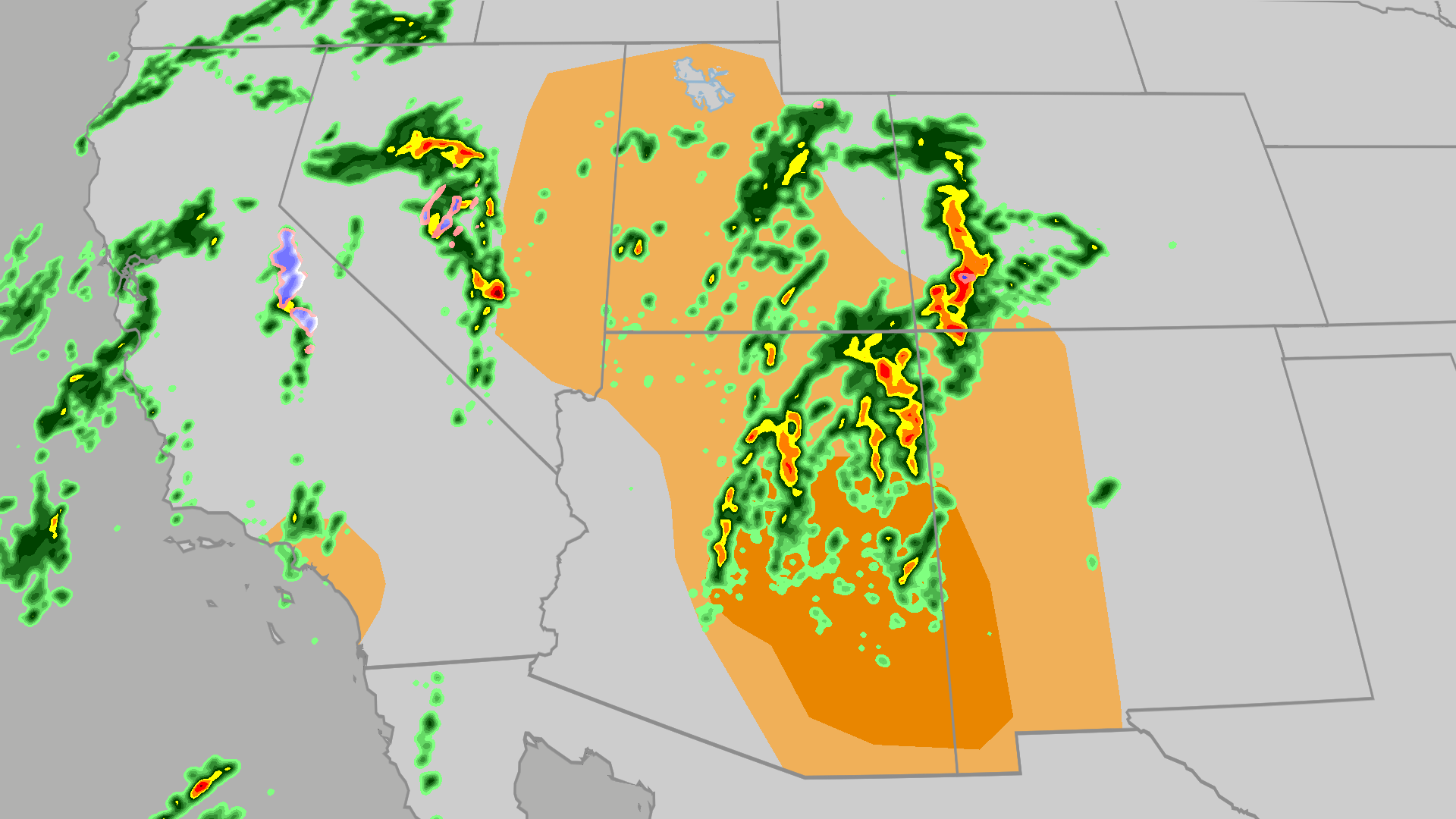 Severe weather, flood risk across Four Corners, California
The Weather Channel Tornadoes, flooding, large hail possible in Four Corners, California Parts of the Four Corners and Southern California face an elevated risk of severe weather on Thursday, which includes the…
-
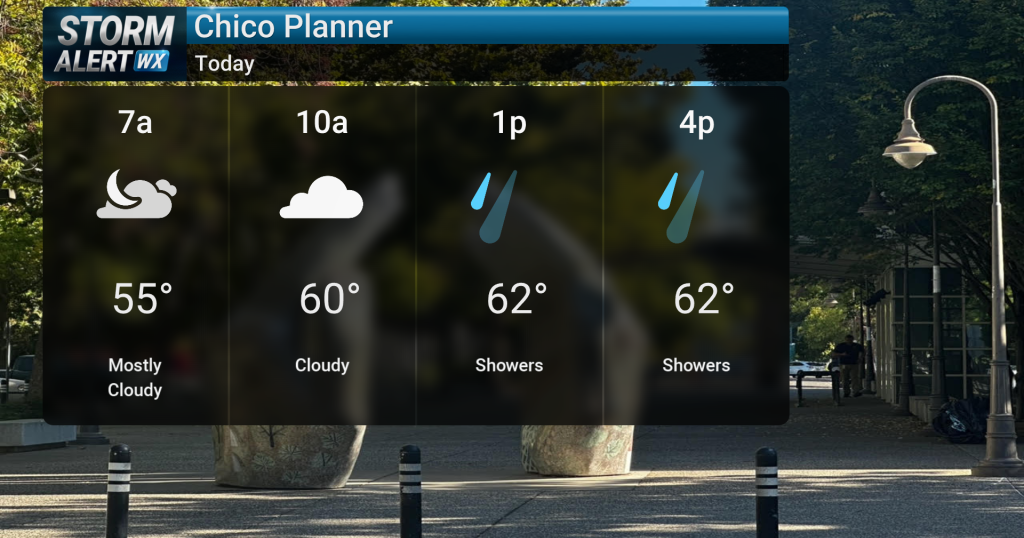 Showery conditions, possible thunderstorms impact Northern California today
Cloudy skies are expected across Northern California today, bringing periods of rain and a chance of thunderstorms later in the day. Highs will reach the mid-60s with winds from the south between 10 and 15 mph. Rain and…
Air quality
Forecast
- MonModerate (56)
Southeast LA CO, CA reporting area. Data from AirNow (EPA and its state, local and tribal partners); preliminary and subject to change.
Sun & moon
Nearby
- Los Angeles 22 km
- Long Beach 25 km
- Anaheim 17 km
- Riverside 59 km
- Santa Ana 28 km
- Irvine 37 km
- Fontana 58 km
- Huntington Beach 32 km
- Glendale 29 km
- Garden Grove 22 km
- Rancho Cucamonga 45 km
- Ontario 38 km
Forecasters' discussion
From the National Weather Service office in LOX, issued 5 hrs ago
Synopsis
26/230 AM.
Dry and warm conditions will continue through the first half of this week. Cooler conditions will follow, with a growing potential for a moderate to strong storm system towards next weekend.
Long Term (thu-sun)
26/230 AM.
On Thursday, slightly cyclonic SW flow develops over Srn CA as another upper low spins out of British Columbia. It will be a mostly cloudy day due to a combination of low mid and high clouds. Due to the extensive cloud cover max temps will flatten out and almost all areas save for the mid and upper mtn elevations will see max temps in the upper 60s or lower 70s.
On Friday the flow turns more to the SW and the cyclonic turning sharpens. The day will most likely resemble Thursday will cloudy skies and cooler than normal temps (4 to 8 locally 12 degrees under normal). But there will be a 10 to 20 percent chc of brief and light shower or two.
All eyes on the next storm system, which unfortunately, remains a low confidence forecast. One problem comes from timing and placement of a moisture plume moving in from the SW and the other is the evolution of the upper low over WA and OR. Until the mdls settle down and begin to converge on a solution the forecast will have to be broad brushed. There is very high confidence that it will rain during the weekend, but low confidence on onset timing and peak timing. Rainfall amounts are also a low confidence prediction. The current estimate calls for most areas south of Pt Conception to recieve about an inch with higher amounts in the foothills and coastal slopes. Most mdls keep most of the plume to the south of Pt Conception so areas north of there will probably see half that amount. There is a 20 to 30 percent chc that rainfall totals will be double that amount. Stay tuned for the latest details on this developing storm system.
Snow levels will generally be high, although light snow may occur at high elevations on the backside of the storm.
Max temps will only be in the mid to upper 60s through the weekend.
Aviation
26/0536Z.
At 0505Z at KLAX, there was a surface-based inversion. The top of the inversion was 1300 feet with a temperature of 22 degrees Celsius.
For the 00Z TAF package, high confidence in CAVU TAFs for KSBA, KOXR, KCMA, KBUR, KVNY, KPMD and KWJF.
For KSBP there is a 30% chance of LIFR/VLIFR conds, and a 30-40 percent chance that LIFR/VLIFR conds do not affect KSMX or KPRB. For KLAX, KLGB and KSMO, there is a 10-20% chance of LIFR/VLIFR conditions 08Z-16Z.
KLAX...High confidence in TAF. There is only a 20% chance of 2SM BR OVC004 conditions 12Z-17Z. No significant easterly wind component is expected.
KBUR...High confidence in CAVU TAF.
Marine
26/236 AM.
For the Outer Waters, moderate to high confidence in current forecast. This afternoon through Wednesday, high confidence in winds increasing to SCA levels. On Thursday and Friday, there is a 50-60% chance of SCA level winds continuing.
For the Inner Waters north of Point Sal, moderate to high confidence in current forecast. For this afternoon and evening, there is a 60-80% chance of SCA level winds. For Tuesday through Friday, there is a 30-50% chance of SCA level winds each afternoon and evening.
For the Inner Waters south of Point Conception, moderate to high confidence in current forecast. Through Friday, high confidence in winds and seas remaining below SCA levels for most of the southern Inner Waters. The only exception will be the western half of the Santa Barbara Channel with a 50-60% chance of SCA level winds in the late afternoon and evening hours Monday and Tuesday, then again on Friday.
Dense fog is likely to form over portions of the coastal waters over the next 48 hours, but low confidence on exactly when and where.
A significant storm system will impact the area sometime in the late Friday through early next week timeframe. There is a wide range of outcomes, but there is at least a low threat of a 12-24 hour period of strong winds and step seas.
Forecasts, observations and alerts in the United States come from the National Weather Service (NOAA); radar from NOAA's Multi-Radar Multi-Sensor system; satellite imagery from NASA's Global Imagery Browse Services (GIBS) and NOAA's GOES satellites; the map from the U.S. Geological Survey's National Map; air quality from AirNow (EPA and its partners); hurricane information from the National Hurricane Center; climate normals and records from NOAA's Regional Climate Centers (ACIS). Forecasts outside the United States and the UV index: MET Norway (CC BY 4.0); observations outside the U.S.: airport reports via NOAA's Aviation Weather Center. Place names: GeoNames (CC BY 4.0). Data are copied on a schedule and may lag the sources; for warnings that affect your safety, follow your local National Weather Service office and emergency officials. Weather news is drawn from the 4Search index and reflects what the press published. Terms of use. How to use Weather