Install
San Luis Obispo, CA Weather
Current conditions
Forecast for this hour (no station report in the last two hours)
Forecast
10-day-
Sunday
Mostly sunny, with a high near 72. South southeast wind 5 to 10 mph.
-
Sunday Night
Patchy fog after 5am. Mostly cloudy, with a low around 50. North northwest wind 5 to 10 mph.
-
Monday
Patchy fog before 11am. Mostly sunny, with a high near 72. North wind 5 to 15 mph, with gusts as high as 25 mph.
National Weather Service forecast updated 14 hrs ago.
Hourly
Hourly forecast- Now65°
- 5 PM63°
- 6 PM59°
- 7 PM58°
- 8 PM58°
- 9 PM56°
- 10 PM56°
- 11 PM56°
- Mon12 AM54°
- 1 AM53°
- 2 AM54°
- 3 AM52°
- 4 AM52°
- 5 AM52°
- 6 AM51°
- 7 AM50°
- 8 AM54°
- 9 AM57°
- 10 AM63°
- 11 AM68°
- 12 PM71°
- 1 PM72°
- 2 PM69°
- 3 PM69°
10-day forecast
Details- TonightOct 24Partly Cloudy53°
- TodayOct 25Mostly Sunny50°72°
- MonOct 26Patchy Fog then Mostly Sunny50°72°
- TueOct 27Patchy Fog then Mostly Sunny50°69°
- WedOct 28Patchy Fog then Mostly Cloudy54°65°
- ThuOct 29Partly Sunny20%52°68°
- FriOct 30Slight Chance Rain Showers23%50°64°
- SatOct 31Slight Chance Rain Showers23%63°
- SunNov 1Sunny42°65°
- MonNov 2Cloudy43°67°
Days after the National Weather Service's seven are MET Norway's outlook, a computer model with no forecaster's review.
Radar
Full mapWeather news near San Luis Obispo
More weather news-
 Atmospheric instability causing rain showers and thunderstorms | Central Coast Weather Report
Low stratus clouds in the morning in the Los Osos Valley. Elsewhere across the Central Coast, rainfall varied considerably. San Luis Obispo County Airport recorded 1.14 inches, while Paso Robles Airport measured 0.72…
-
 Rain clouds swept the Modesto area. Here’s how much rain fell and what’s next
After several days of rain, gusty winds and cooler temperatures, skies have finally cleared over the Modesto area. The storms brought measurable rainfall across California. As of late Thursday morning, radar estimates…
-
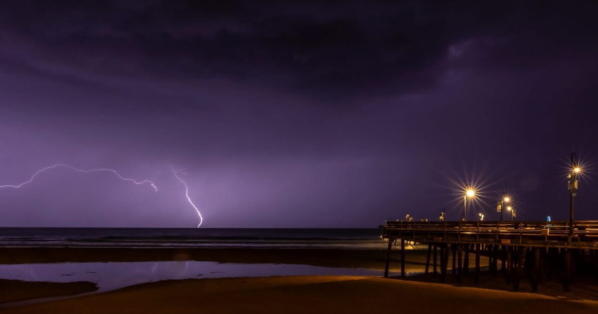 Scattered showers and downpours tonight, dry and warmer conditions this weekend
Here is your Central Coast weather update for San Luis Obispo and Santa Barbara counties from Meteorologist Jim Castillo Synoptic Setup: A classic cut-off upper-level low-pressure system, detached from the main jet…
- Rain clouds swept through Merced area. Here’s how much rain fell and what’s next
After several days of rain, gusty winds and cooler temperatures, skies have finally cleared over the Merced area. The storms brought measurable rainfall across California. As of late Thursday morning, radar estimates…
-
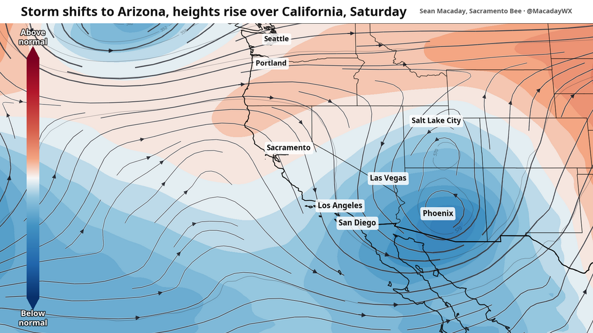 Rain to take welcome weekend break in Sacramento. Here’s how long it could last
After two days of on-and-off showers that Central California has not seen months, the rain is coming to a close as of Friday morning. Precipitation was intense across the state. As of late Thursday morning…
-
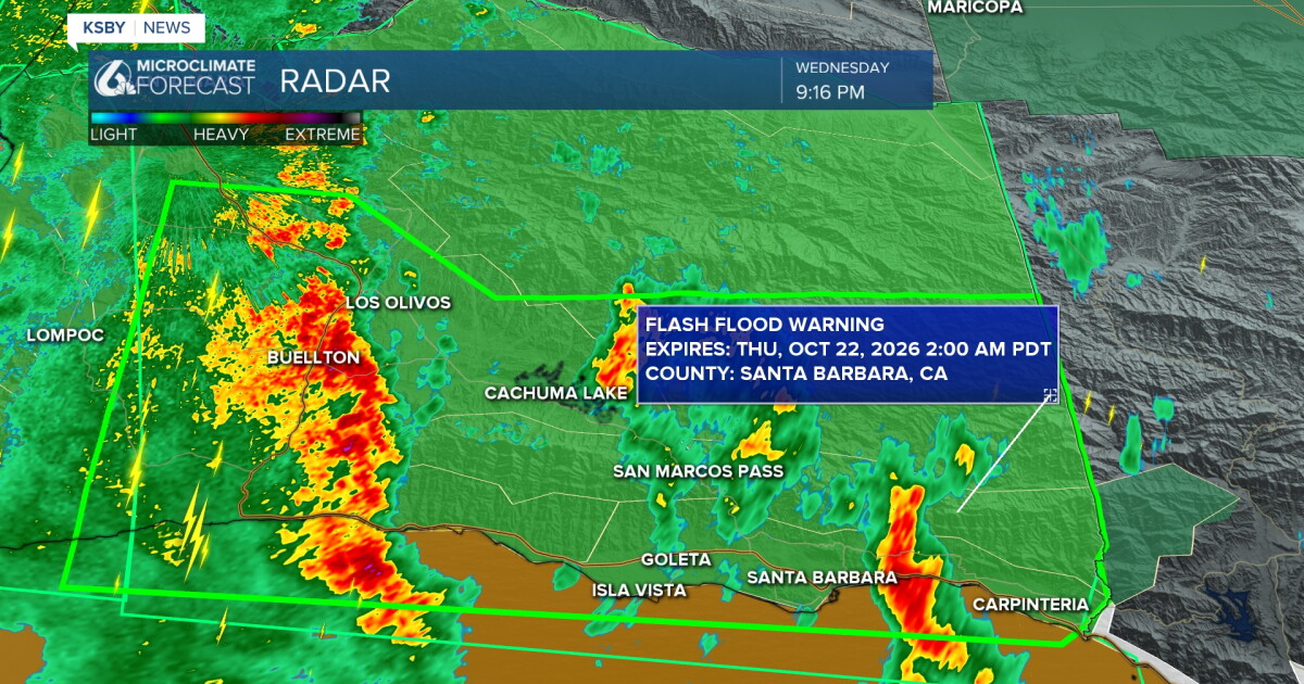 Waves of rain tonight, with the potential for heavy thunderstorms
Here's your Central Coast weather update from Meteorologist Jim Castillo for San Luis Obispo & Santa Barbara counties: More RAINFALL TOTALS for San Luis Obispo and Santa Barbara County Waves of showers & and the…
-
 The 1st storm of the season arrives Wednesday. Rain, downpours & thunderstorms
Here's your storm forecast for San Luis Obispo and Santa Barbara County from Meteorologist Jim Castillo The first rain event and storm of the season is on the way for the Central Coast! Here is what you need to know…
-
 Nor'easter Threatens East Coast With Flooding and High Surf
The National Hurricane Center is monitoring the system for possible tropical development. Weather.com reported that the storm could become Tropical Storm Josephine, while NBC News placed its chances of formation at 40%…
-
 California's rainy season to arrive with flood threat, tornado risk and Sierra snow
California's wet season is starting off with a bang. The first significant storm of the season is forecast to bring heavy rain to vulnerable burn scars near Big Sur, coastal tornado risk to the Los Angeles area, and a…
- Storm will bring rain, wind and chance for a tornado to SLO County
A rainy storm system heading for Southern California is set to roll into San Luis Obispo County, and it could bring lightning, thunder and even a chance for a tornado. Starting Tuesday evening through Thursday, the…
Air quality
Forecast
- SunGood
- MonGood
- TueGood
San Luis Obispo, CA reporting area. Data from AirNow (EPA and its state, local and tribal partners); preliminary and subject to change.
Sun & moon
Almanac
MonthlySan Luis Obispo Poly, records since 1927. Normals 1991–2020. Data from NOAA's Regional Climate Centers (ACIS).
Nearby
- Santa Maria 42 km
- Atascadero 23 km
- Orcutt 51 km
- Paso Robles 38 km
- Arroyo Grande 19 km
- Nipomo 31 km
- Los Osos 16 km
- Grover Beach 18 km
- Morro Bay 20 km
- Pismo Beach 16 km
- Templeton 30 km
- Guadalupe 36 km
Forecasters' discussion
From the National Weather Service office in LOX, issued 4 hrs ago
Synopsis
25/1237 PM.
Dry and warm conditions will continue through the first half of this week. Cooler conditions will follow, with a growing potential for a storm system towards next weekend.
Long Term (thu-sun)
25/1240 PM.
Northwest flow aloft will transition to the southwest with a digging trough just to our west. Light rain may begin as early as Thursday night for Friday in response to this pattern change. Either way cloud cover will be on the increase, contributing to continued cooling with highs only in the 60s to near 70 by Friday.
Guidance is trending slower and stronger with the potential weekend storm. While confidence is growing, it still remains below normal, especially for Santa Barbara and San luis Obispo Counties. There is a 90 percent chance of widespread rain SOMETIME between Friday and Monday, again focused Saturday (Halloween) or Sunday. We have a decent (30-60% chance) shot of a moderate storm (0.5-1.5 inches except 1.5-3 inches south facing mountains/foothills) and slight (10-20%) chance of a strong storm (2+ inches except 4+ inches mountains/foothills). Odds of both of these scenarios are highest for Los Angeles and Ventura Counties, lowest San Luis Obispo and Santa Barbara Counties) due to the best moisture and possible track of the storm focused towards the south. Other significant impacts such as strong winds and coastal flooding are possible in the strong storm scenario.
Snow levels will generally be high, although light snow may occur at high elevations on the backside of the storm.
Again just to repeat, confidence remains low on this time period and may remain low, especially on forecast details, for another couple of days.
An active weather pattern may continue behind next weekend, with a 50-60 percent chance of above normal precipitation into the following week.
Aviation
25/1541Z.
At 15Z at KLAX, there was a surface-based inversion. The top of the inversion was 2400 feet with a temperature of 19 degrees Celsius.
For 18Z TAF package, high confidence in CAVU conditions through the period for KSBA, KOXR, KCMA, KBUR, KVNY, KPMD and KWJF.
For KSBP, KLAX, KLGB and KSMO, there is a 10-20% chance of LIFR/VLIFR conditions 08Z-16Z.
For KSMX, there is a 50% chance that CIG/VSBY restrictions do not develop tonight.
KLAX...High confidence in 18Z TAF as CAVU conditions are likely through the period. There is a 10-20% chance of IFR/VLIFR conditions 10Z-17Z. No significant easterly wind component is expected.
Marine
25/1227 PM.
For the Outer Waters, moderate to high confidence in current forecast. Through Monday morning, high confidence in winds and seas remaining below Small Craft Advisory (SCA) levels. For Monday through Wednesday, high confidence in winds increasing to SCA levels. On Thursday and Friday, there is a 50-60% chance of SCA level winds continuing.
For the Inner Waters north of Point Sal, moderate to high confidence in current forecast. Through Monday morning, high confidence in winds and seas remaining below SCA levels. For Monday afternoon and evening, there is a 60-80% chance of SCA level winds. For Tuesday through Friday, there is a 30-50% chance of SCA level winds each afternoon and evening.
For the Inner Waters south of Point Conception, moderate to high confidence in current forecast. Today through Friday, high confidence in winds and seas remaining below SCA levels for most of the southern Inner Waters. The only exception will be the western half of the Santa Barbara Channel with a 50-60% chance of SCA level winds in the late afternoon and evening hours Monday and Tuesday, then again on Friday.
Dense fog is likely to form over portions of the coastal waters over the next 48 hours, but low confidence on exactly when and where.
A significant storm system will impact the area sometime in the late Friday through early next week timeframe. There is a wide range of outcomes, but there is at least a low threat of a 12-24 hour period of strong winds and step seas.
Forecasts, observations and alerts in the United States come from the National Weather Service (NOAA); radar from NOAA's Multi-Radar Multi-Sensor system; satellite imagery from NASA's Global Imagery Browse Services (GIBS) and NOAA's GOES satellites; the map from the U.S. Geological Survey's National Map; air quality from AirNow (EPA and its partners); hurricane information from the National Hurricane Center; climate normals and records from NOAA's Regional Climate Centers (ACIS). Forecasts outside the United States and the UV index: MET Norway (CC BY 4.0); observations outside the U.S.: airport reports via NOAA's Aviation Weather Center. Place names: GeoNames (CC BY 4.0). Data are copied on a schedule and may lag the sources; for warnings that affect your safety, follow your local National Weather Service office and emergency officials. Weather news is drawn from the 4Search index and reflects what the press published. Terms of use. How to use Weather