Install
San Anselmo, CA Weather
Current conditions
Forecast for this hour (no station report in the last two hours)
Forecast
10-day-
Saturday
Sunny. High near 76, with temperatures falling to around 74 in the afternoon. North northeast wind around 2 mph.
-
Saturday Night
Mostly clear, with a low around 48. West northwest wind around 2 mph.
-
Sunday
Mostly sunny, with a high near 73. Northeast wind around 2 mph.
National Weather Service forecast updated 1 hr ago.
Hourly
Hourly forecast- Now51°
- 7 AM50°
- 8 AM50°
- 9 AM56°
- 10 AM61°
- 11 AM65°
- 12 PM70°
- 1 PM72°
- 2 PM74°
- 3 PM75°
- 4 PM75°
- 5 PM74°
- 6 PM70°
- 7 PM62°
- 8 PM59°
- 9 PM57°
- 10 PM55°
- 11 PM54°
- Sun12 AM54°
- 1 AM53°
- 2 AM52°
- 3 AM50°
- 4 AM50°
- 5 AM49°
10-day forecast
Details- TonightOct 23Clear50°
- TodayOct 24Sunny48°76°
- SunOct 25Mostly Sunny48°73°
- MonOct 26Sunny46°69°
- TueOct 27Sunny48°69°
- WedOct 28Mostly Sunny10%49°68°
- ThuOct 29Mostly Sunny then Slight Chance Light Rain33%49°66°
- FriOct 30Chance Light Rain33%66°
- SatOct 31Sunny46°62°
- SunNov 1Sunny44°61°
Days after the National Weather Service's seven are MET Norway's outlook, a computer model with no forecaster's review.
Radar
Full mapWeather news near San Anselmo
More weather news-
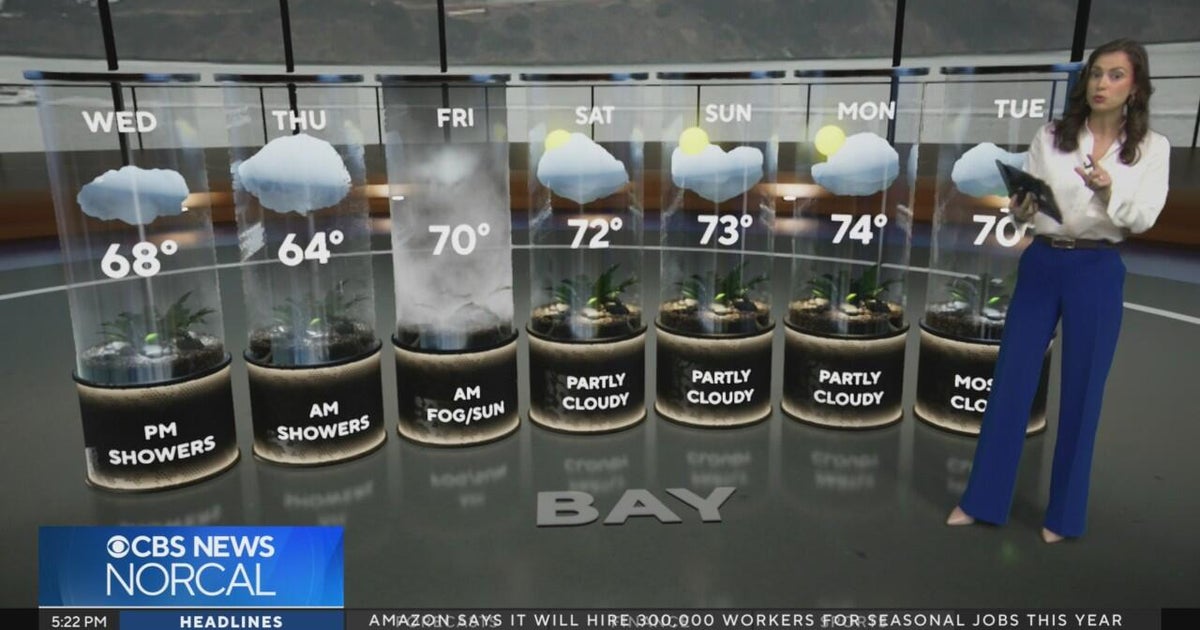 Tuesday evening First Alert weather forecast - 10/20/26
CBS News Tuesday evening First Alert weather forecast - 10/20/26 Becerra, Hilton campaign for California governor in Bay Area 2 weeks out from Election Day Oakland considers raising nuisance property fines to $10,000 a…
-
 Bay Area could see its most rain since May. Here's how much to expect
The Bay Area will soon see its first legitimate rain chance of the season, but the window for wet weather is trending later and weaker than previously indicated. Rain is not expected to begin until Wednesday morning at…
- These Are the States With the Best Weather Year-round
California and Hawaii are strong contenders for the best weather in the U.S. year-round. Coastal California offers comfortable temperatures with limited seasonal swings; Hawaii delivers consistent coastal warmth. But…
-
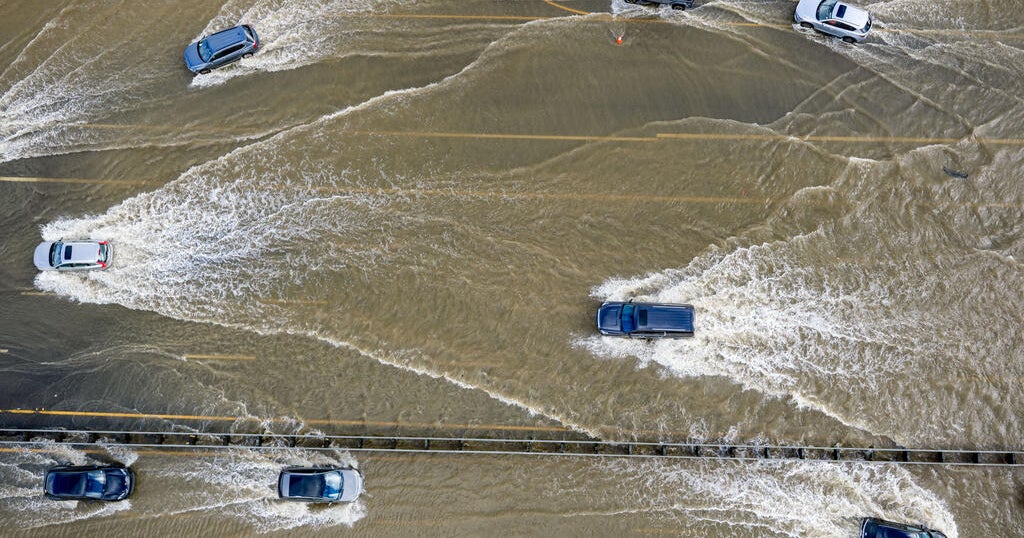 Conditions aligning for Bay Area to expect highest King Tides in 18 years
October 18, 2026 / 1:21 PM PDT / CBS San Francisco King tides bring coastal flooding to the Bay Area every winter. But this fall and winter, the region is expected to see the highest tides in 18 years. Why does this…
-
 ‘Danger zone’: These 5 US states are about to be hit hardest by El Niño, experts warn
Expect wildfires, floods and storms The world is entering a “danger zone of extreme weather” as the El Niño weather phenomenon starts to be felt, UN chief António Guterres recently said. His warnings have been echoed by…
- San Francisco Warms Friday Before Bay Area Temps Tank
The forecast calls for offshore flow and no rain in San Francisco. A Red Flag Warning remains in effect until 11 a.m. Friday for the North Bay Interior Mountains, while very dry conditions and elevated fire danger are…
-
 Back to reality, much cooler this weekend
KPTV We ended up much cooler this morning than originally thought but ample sunshine and a very light east wind should help push temperatures into the mid to upper 70s. FEW SHOWERS + COOLER THIS WEEKEND Hopefully you’ve…
- Bay Area beaches to see sneaker waves, strong rip currents this weekend
The National Weather Service is warning beachgoers about dangerous wave conditions this weekend. Here, a person watches a huge swell at Montara State Beach in December 2020. On what could be one of the Bay Area’s last…
-
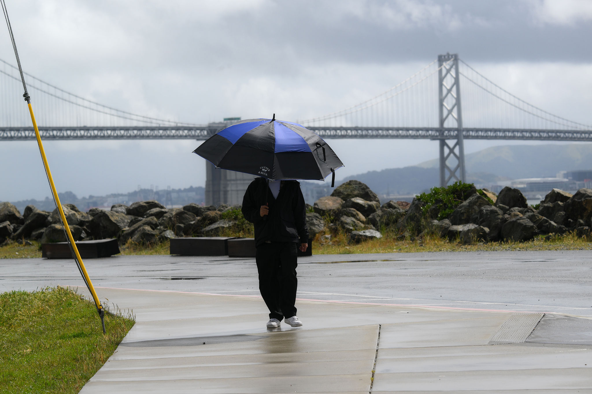 Warm, wet winter in store for California. Here's what to know.
A pedestrian on Treasure Island braces against rainy weather on April 12, 2026. Winter is coming, and it looks warm and wet in California, according to new data. Huge clouds over the city as seen from Treasure Island…
-
 Kelvin Wave Reaches Bay Area, Raises Sea To Record Levels: What To Know
SAN FRANCISCO, CA — An underwater wave linked to this year’s powerful El Niño reached San Francisco Bay this week, potentially contributing to unusually high tides and localized flooding along the Bay Area shoreline…
Air quality
Air quality is satisfactory, and air pollution poses little or no risk.
Forecast
- SatGood (35)
- SunGood (37)
- MonGood (36)
San Rafael, CA reporting area · 1 hr ago. Data from AirNow (EPA and its state, local and tribal partners); preliminary and subject to change.
Sun & moon
Almanac
MonthlySan Francisco Downtown, records since 1874. Normals 1991–2020. Data from NOAA's Regional Climate Centers (ACIS).
Nearby
- San Francisco 25 km
- Oakland 32 km
- Santa Rosa 53 km
- Hayward 54 km
- Concord 47 km
- Vallejo 30 km
- Berkeley 28 km
- Fairfield 55 km
- Richmond 19 km
- Daly City 31 km
- San Mateo 50 km
- San Leandro 45 km
Forecasters' discussion
From the National Weather Service office in MTR, issued 7 hrs ago
Key Messages
Updated at 1038 PM PDT Fri Oct 23 2026
- Gusty offshore flow across the North Bay Interior Mountains subsides late this morning
- Near normal temperatures this weekend into the beginning of next week
- Coastal flooding due to astronomical high tides and thermal expansion this weekend through Thursday
Short Term
Issued at 1038 PM PDT Fri Oct 23 2026 (Today and tonight)
Gusty offshore flow across the North Bay Interior Mountains is ongoing tonight, with the windy and dry conditions dropping MinRH values in the 20s for some locations. Fire weather concerns would be higher for this area had we not received the recent wetting rainfall. The offshore flow regime should mostly limit fog development early this morning but still can't be ruled out entirely in some of the river valleys in Sonoma County.
Temperatures today will be around 5 degrees warmer than Friday and near normal for this time of year. The gusty winds across the North Bay will begin to ease by late this morning, with a beautiful day in store area wide across our CWA as upper level ridging builds overhead.
Long Term
Issued at 1038 PM PDT Fri Oct 23 2026 (Sunday through next Friday)
Sunday will almost be a carbon copy of today for the North Bay and Bay Area, with the Central Coast seeing temperatures warm another few degrees. Confidence and consensus in the synoptic pattern is poor after Monday. An upper trough shifts south to our latitude on Monday bringing a return of onshore flow, however the overall progressive pattern is struggling with the depth of the trough and how another system well offshore interacts with the flattening trough as it moves into the Great Basin. Despite the uncertainty in the overall pattern, any troughing or ridging will continue to be progressive and low amplitude, with no large temperature fluctuations or precipitation chances until the end of next week when the NBM seems to pick up on what the current ECMWF deterministic has depicted for next Friday into the weekend, troughing with increasing rain chances.
Aviation
(06Z TAFS) Issued at 827 PM PDT Fri Oct 23 2026
Surface high pressure will build into the Great Basin tonight and Saturday morning. The WMC-SFO pressure gradient will steepen to near 10 mb while the RDD-SAC pressure gradient will steepen to around 3 mb. Offshore winds will develop in response to these gradients, bringing in additional drying tonight and Saturday. Decreasing water vapor will allow nocturnal radiational cooling to steepen and residual humidity in the boundary layer from recent rain may cool to saturation producing patchy low clouds and fog /IFR-LIFR/ tonight and Saturday morning. Radiative cooling will also produce cool air drainage winds to the coastline tonight and Saturday morning. Onshore winds closest to the coast will redevelop Saturday, but not until later in the afternoon. Otherwise VFR is forecast.
Vicinity of SFO...VFR. Northwest wind shifting to light northeast wind by early Saturday morning. West to northwest wind near 10 knots late Saturday afternoon and evening.
SFO Bridge Approach...Similar to SFO.
Monterey Bay Terminals...VFR. West to northwest winds 5 to 10 knots shifting to east to southeast winds 5 to 10 knots tonight and Saturday morning. Northwest winds near 10 knots late Saturday afternoon and early evening.
Forecasts, observations and alerts in the United States come from the National Weather Service (NOAA); radar from NOAA's Multi-Radar Multi-Sensor system; satellite imagery from NASA's Global Imagery Browse Services (GIBS) and NOAA's GOES satellites; the map from the U.S. Geological Survey's National Map; air quality from AirNow (EPA and its partners); hurricane information from the National Hurricane Center; climate normals and records from NOAA's Regional Climate Centers (ACIS). Forecasts outside the United States and the UV index: MET Norway (CC BY 4.0); observations outside the U.S.: airport reports via NOAA's Aviation Weather Center. Place names: GeoNames (CC BY 4.0). Data are copied on a schedule and may lag the sources; for warnings that affect your safety, follow your local National Weather Service office and emergency officials. Weather news is drawn from the 4Search index and reflects what the press published. Terms of use.