Install
Linda, CA Weather
Current conditions
Forecast for this hour (no station report in the last two hours)
Forecast
10-day-
Saturday
Sunny, with a high near 73.
-
Saturday Night
Partly cloudy, with a low around 45.
-
Sunday
Mostly sunny, with a high near 72.
National Weather Service forecast updated 4 days ago.
Hourly
Hourly forecast- Now43°
- 8 AM44°
- 9 AM50°
- 10 AM57°
- 11 AM64°
- 12 PM68°
- 1 PM71°
- 2 PM72°
- 3 PM73°
- 4 PM73°
- 5 PM71°
- 6 PM68°
- 7 PM63°
- 8 PM59°
- 9 PM56°
- 10 PM55°
- 11 PM53°
- Sun12 AM51°
- 1 AM50°
- 2 AM49°
- 3 AM48°
- 4 AM48°
- 5 AM48°
- 6 AM46°
Daily forecast
Details- TueOct 20Patchy Fog then Partly Sunny27%51°72°
- WedOct 21Slight Chance Showers And Thunderstorms then Chance Showers And Thunderstorms54%51°73°
- ThuOct 22Chance Showers And Thunderstorms45%48°69°
- FriOct 23Sunny43°73°
- TodayOct 24Sunny45°73°
- SunOct 25Mostly Sunny15%44°72°
- MonOct 26Slight Chance Light Rain then Mostly Sunny15%44°72°
- TueOct 27Cloudy47°79°
- WedOct 28Cloudy51°80°
Days after the National Weather Service's seven are MET Norway's outlook, a computer model with no forecaster's review.
Radar
Full mapWeather news near Linda
More weather news-
 🌞Sunshine returns Tuesday before a colder, unsettled finish to the week - Jason
KXLY.com Local news coverage from KXLY+ St. Ignatius Hospital allegedly ordered to stop tours Mild Fall conditions for the Spokane region continue into mid-week A mild Tuesday with the return of sunshine for the Inland…
-
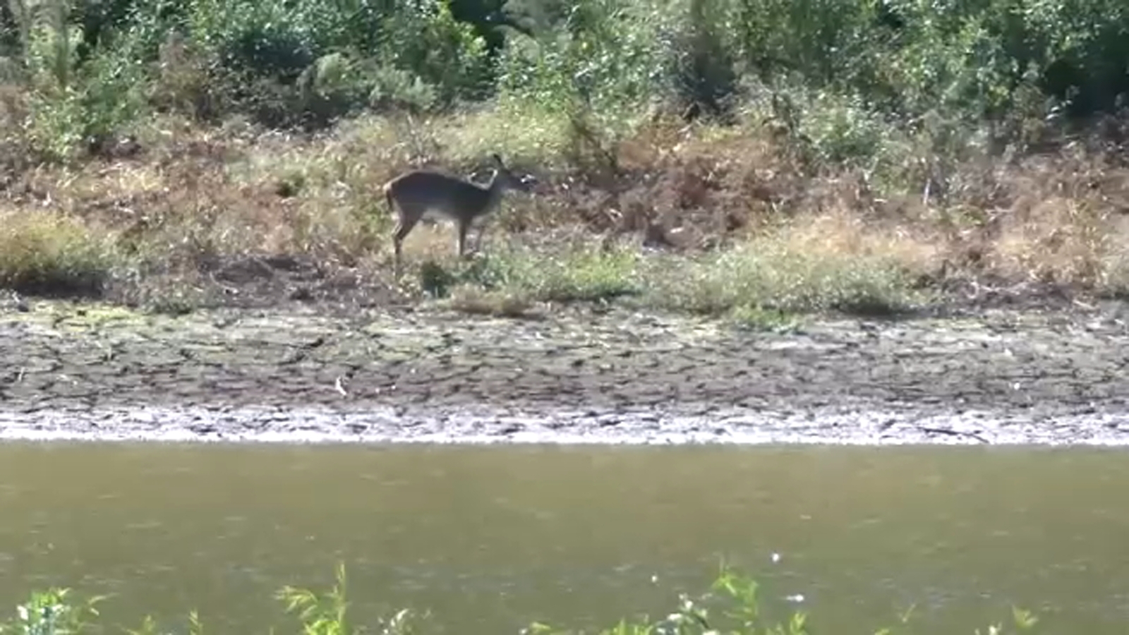 As Durham County remains in severe drought, Lake Michie Park and Marina remain closed
DURHAM, N.C. (WTVD) -- Durham County remains in severe drought, with conditions showing little improvement despite recent rainfall. At Lake Michie, home to Duke Rowing, much of the shoreline remains exposed. The Lake…
-
 The Daily Cartoon and Live Briefing: Monday, October 19, 2026
October 19, 2026 | FlaglerLive | 8 Comments Weather: A 30 percent chance of showers, mainly after 2pm. Mostly sunny, with a high near 73. Windy. Monday Night: A 30 percent chance of showers, mainly before 8pm. Partly…
- Bundle Up, Then Brighten Up: Knoxville’s Chilly Dawn Warms to Sunny 70s
Monday brings a high near 70, while Tuesday warms to about 73 under mostly sunny skies. Overnight lows will remain chilly, dipping to around 42 Monday night and 44 Tuesday night. The warmup continues Wednesday, when…
-
 With El Niño, a warm winter is likely
DULUTH — Dreaming of a white Christmas? This might not be the year for it. "We definitely do not guarantee a brown Christmas for the Northland, but the odds are higher that will be happening this year than another…
-
 Freeze warning issued for Northern Ohio Sunday morning
The National Weather Service has issued a freeze warning for Sunday from 1 a.m. to 9 a.m. across northern Ohio and northwest Pennsylvania, with temperatures dropping as low as 30 degrees CLEVELAND, OH (CRAWFORD COUNTY…
-
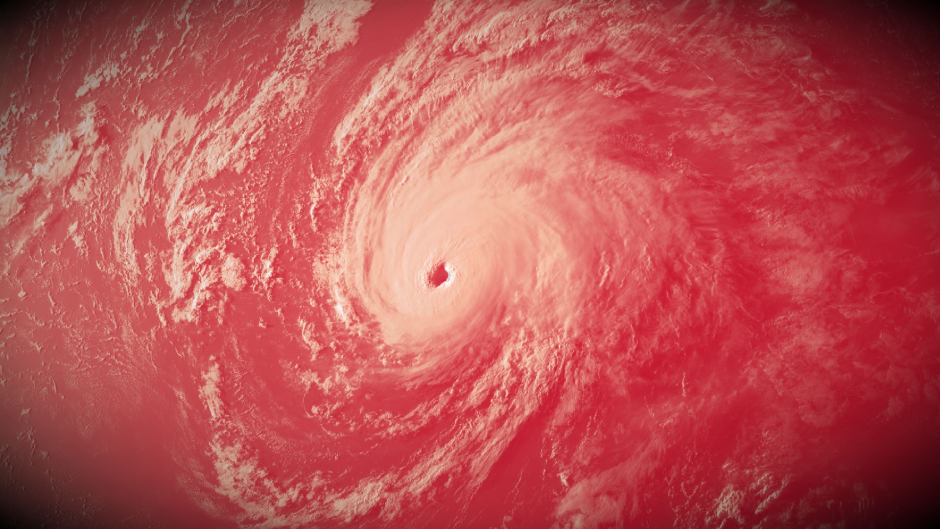 Intense El Niño helps churn out 10 major hurricanes. How does it compare?
The northeastern Pacific basin is in the midst of its most active hurricane season on record The northeastern Pacific Ocean is a hotbed of major hurricanes this year. Ten out of the twelve hurricanes to form in the…
-
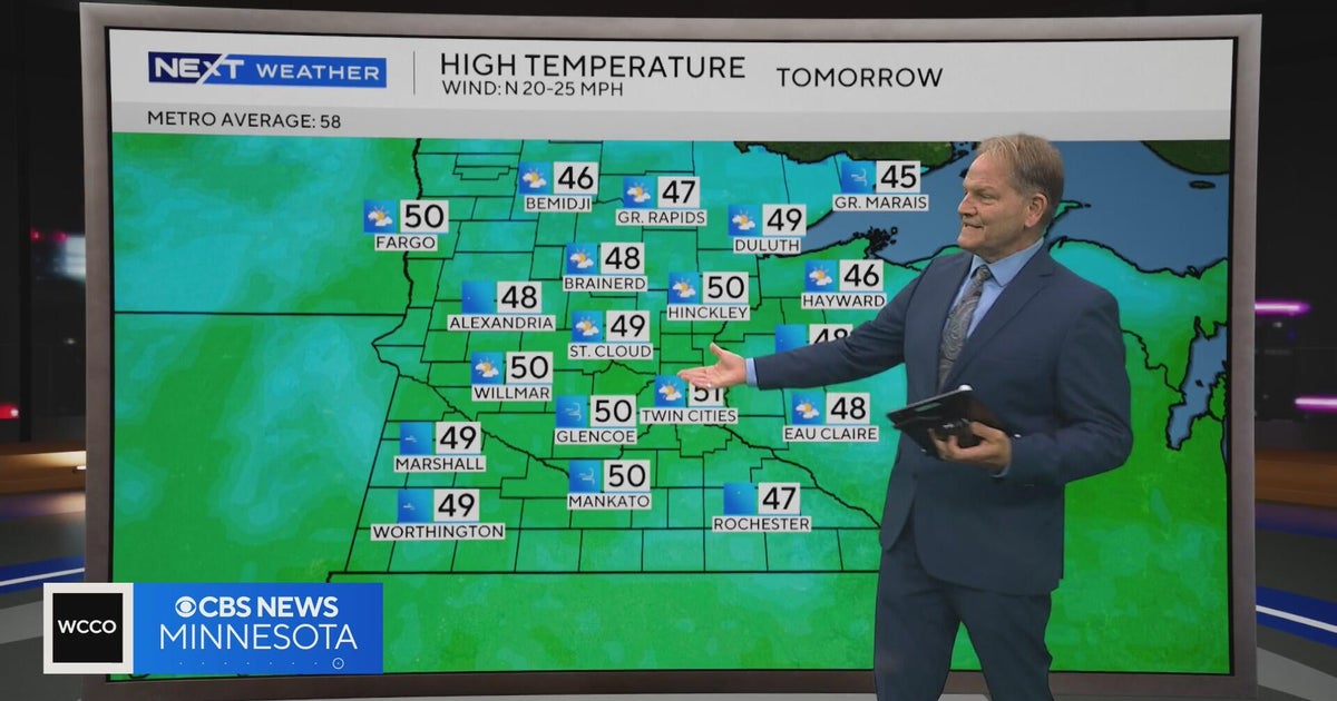 NEXT Weather | 10 p.m. weather report for Oct. 15, 2026
CBS News NEXT Weather | 10 p.m. weather report for Oct. 15, 2026 NEXT Weather | 6 p.m. weather report for Oct. 15, 2026 Summit Brewing Company announces a new lender has taken over its loans Minnesota man dies after…
-
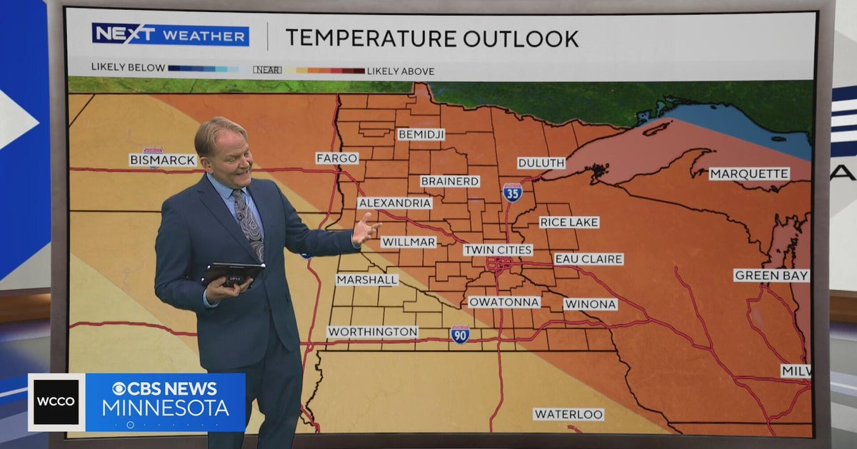 NEXT Weather | 6 p.m. weather report for Oct. 15, 2026
CBS News NEXT Weather | 6 p.m. weather report for Oct. 15, 2026 NEXT Weather: 5 p.m. report on Oct. 15, 2026 Minnesota bishop keeps faith through lung cancer diagnosis Small Minnesota school mourns deaths of 3 current…
-
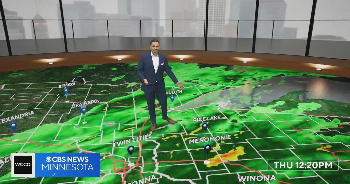 Freeze watch covers much of Minnesota for Friday night into Saturday morning | Oct. 15, 2026
The watch covers counties shaded in blue on the forecast map and could be upgraded to a frost advisory or freeze warning. The Twin Cities core is likely to see lows of 32 to 35 degrees, and outlying areas, including…
Air quality
Air quality is satisfactory, and air pollution poses little or no risk.
Forecast
- SatGood (37)
- SunGood (32)
- MonGood (34)
Yuba City and Marysville, CA reporting area · 2 hrs ago. Data from AirNow (EPA and its state, local and tribal partners); preliminary and subject to change.
Sun & moon
Nearby
- Roseville 48 km
- Citrus Heights 52 km
- Folsom 60 km
- Yuba City 6 km
- Carmichael 60 km
- Rocklin 46 km
- Woodland 54 km
- Lincoln 34 km
- Antelope 50 km
- North Highlands 52 km
- Orangevale 57 km
- Foothill Farms 53 km
Forecasters' discussion
From the National Weather Service office in STO, issued 19 hrs ago
Key Messages
- Breezy north to east winds develop today and into Saturday AM, followed by weaker downsloping winds Sat PM-Sun AM
- Dry weather continues through most of next week, chance for light showers over the Shasta County mountains on Monday
- Potential for unsettled weather Halloween Weekend, but details remain uncertain
.DISCUSSION...
...Today through Monday...
Scattered cloud cover is being observed across interior Northern California this afternoon via satellite. The weather system that brought widespread precipitation to the region is actively moving into the Desert Southwest. As ridging begins to build off the coast of NW California and the low treks further south, north to east winds will develop in the Sacramento Valley and downsloping northeast to east winds across the western slopes of the Sierra.
Aviation
Predominantly VFR conditions are expected over the next 24 hours, with isolated MVFR/IFR/LIFR conditions as a result of low clouds. Low ceilings and patchy fog are possible at SCK and MOD after 12Z Saturday which may result in MVFR/IFR/LIFR conditions. North to east winds increase in the Valley today, with sustained winds 10 to 20 kts and gusts 15 to 30 kts through 18Z Saturday. Gusty downsloping winds are also expected across the western slopes of the Sierra from 00Z to 18Z Saturday.
Sto Watches
None.
Forecasts, observations and alerts in the United States come from the National Weather Service (NOAA); radar from NOAA's Multi-Radar Multi-Sensor system; satellite imagery from NASA's Global Imagery Browse Services (GIBS) and NOAA's GOES satellites; the map from the U.S. Geological Survey's National Map; air quality from AirNow (EPA and its partners); hurricane information from the National Hurricane Center; climate normals and records from NOAA's Regional Climate Centers (ACIS). Forecasts outside the United States and the UV index: MET Norway (CC BY 4.0); observations outside the U.S.: airport reports via NOAA's Aviation Weather Center. Place names: GeoNames (CC BY 4.0). Data are copied on a schedule and may lag the sources; for warnings that affect your safety, follow your local National Weather Service office and emergency officials. Weather news is drawn from the 4Search index and reflects what the press published. Terms of use.