Install
Lake Elsinore, CA Weather
Current conditions
Forecast for this hour (no station report in the last two hours)
Forecast
10-day-
Tonight
Clear, with a low around 54. Northeast wind 0 to 5 mph.
-
Sunday
Sunny, with a high near 80. Northwest wind 0 to 5 mph.
-
Sunday Night
Mostly clear, with a low around 56. North wind 0 to 5 mph.
National Weather Service forecast updated 14 hrs ago.
Hourly
Hourly forecast- Now58°
- 3 AM57°
- 4 AM56°
- 5 AM56°
- 6 AM55°
- 7 AM54°
- 8 AM57°
- 9 AM61°
- 10 AM66°
- 11 AM72°
- 12 PM75°
- 1 PM76°
- 2 PM77°
- 3 PM79°
- 4 PM77°
- 5 PM77°
- 6 PM74°
- 7 PM70°
- 8 PM68°
- 9 PM66°
- 10 PM65°
- 11 PM64°
- Mon12 AM62°
- 1 AM61°
Daily forecast
Details- SatOct 24Sunny54°76°
- TodayOct 25Sunny56°80°
- MonOct 26Sunny53°81°
- TueOct 27Sunny54°78°
- WedOct 28Partly Sunny54°77°
- ThuOct 29Partly Sunny22%55°73°
- FriOct 30Chance Rain Showers27%53°70°
- SatOct 31Mostly sunny0.04 in53°65°
- SunNov 1Showers0.09 in47°63°
Days after the National Weather Service's seven are MET Norway's outlook, a computer model with no forecaster's review.
Radar
Full mapWeather news near Lake Elsinore
More weather news-
 Wind advisory in place for Riverside County until Thursday evening
Riverside County Mountains, San Gorgonio Pass Near Banning, San Diego County Mountains and San Diego County Deserts are included in a wind advisory released by the National Weather Service on Thursday at 12:14 a.m. The…
-
 New storm moves into Southern California: What to expect
A new storm is moving into Southern California Wednesday. Here is what to expect: Moderate rain is in the forecast from Wednesday late morning to Thursday afternoon, according to the National Weather Service. The…
-
 Anticipate strong thunderstorms in Riverside County Wednesday evening – gusts up to 55 mph
Riverside County was placed under a report for strong thunderstorms by the National Weather Service on Wednesday at 5:49 p.m. The alert is in effect until 6:30 p.m. Residents should be prepared for wind gusts of up to…
-
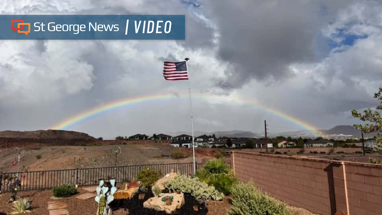 Photo Gallery: Fast-moving storms flood Southern Utah with heavy rain – and rainbows; more on the way
Fast-moving storms tracking north by northeast dropped hail and heavy rain across Southern Utah. The weather event also produced monstrous cloud formations and expansive rainbows. Monica Traphagan, senior meteorologist…
-
 Storms descend on Southern California, raising risk of dangerous surf, flooding, debris flows
Rain is anticipated for Southern California on Wednesday into Thursday as the National Weather Service cautioned about potential beach hazards and thunderstorms from Oxnard to the Mexico border. The weather service's…
-
 Rain Returning To Riverside County This Week: National Weather Service
RIVERSIDE COUNTY, CA — Thunderstorms are possible across the Inland Empire beginning Wednesday night and continuing through Thursday, when a cold front will sweep the region, potentially generating an inch or more of…
-
 Cold front drops temps, bringing rain to Inland Empire
Thunderstorms are possible across the Inland Empire beginning Wednesday night and continuing through Thursday, when a cold front will sweep the region, potentially generating an inch or more of precipitation, according…
-
 T-Storms Forecasted Weds and Thurs Throughout IE
Thunderstorms are possible across the Inland Empire beginning Wednesday night and continuing through Thursday, when a cold front will sweep the region, potentially generating an inch or more of precipitation, according…
-
 Will it rain on Halloween in Southern California? Here’s what forecasters say
Southern California residents may want to keep an umbrella handy this Halloween, as forecasters monitor another potential round of rain that could arrive just in time for trick-or-treating. A low-pressure system…
-
 California Weather: NHS Forecasts Clearning Skies, Light Showers, Strong Winds Across Sacramento, Sierra Foothills and Northern California – Check Forecast & Latest Updates
Northern California is forecast to see gradually clearing skies on Friday following recent unsettled weather. Read for more details. The post California Weather: NHS Forecasts Clearning Skies, Light Showers, Strong…
Air quality
Air quality is satisfactory, and air pollution poses little or no risk.
Forecast
- SunGood (49)
Lake Elsinore, CA reporting area · 1 hr ago. Data from AirNow (EPA and its state, local and tribal partners); preliminary and subject to change.
Sun & moon
Almanac
MonthlyRiverside Area, records since 1893. Normals 1991–2020. Data from NOAA's Regional Climate Centers (ACIS).
Nearby
- Anaheim 57 km
- Riverside 32 km
- Santa Ana 51 km
- Irvine 46 km
- San Bernardino 49 km
- Fontana 48 km
- Moreno Valley 31 km
- Oceanside 53 km
- Garden Grove 58 km
- Rancho Cucamonga 55 km
- Ontario 53 km
- Corona 32 km
Forecasters' discussion
From the National Weather Service office in SGX, issued 56 min ago
Synopsis
Calm and warmer weather will occur through Wednesday. The warmest days of the week will be today and Monday with marine layer clouds returning by Tuesday or Wednesday morning near the coast. Cooler and breezier with increased chances for precipitation entering the picture by later in the week.
Discussion
FOR EXTREME SOUTHWESTERN CALIFORNIA INCLUDING ORANGE... SAN DIEGO...WESTERN RIVERSIDE AND SOUTHWESTERN SAN BERNARDINO COUNTIES...
Mostly clear skies are seen on satellite this morning with increasing mid-level clouds to our west over the Pacific. Models show these clouds moving over the region late this afternoon through the night, bringing a nice sunset for some. High temperatures will be slightly warmer today than yesterday. NBM chances are moderate to high in seeing temperatures eclipse the 80 degree mark across inland Orange County, the northern Inland Empire and inland valleys of SD County. Temperatures in these areas cool a few degrees by Tuesday and Wednesday, with other regions staying fairly similar from day to day over the next few days. As pressure heights subtly lower, this will increase the depth of the marine layer. Low clouds and patchy fog may form offshore and near coastal areas as early as Tuesday morning, with higher confidence on this occurring by Tuesday night into Wednesday morning.
The weather pattern begins to shift by Thursday into next weekend. Like yesterday, models continue to show an area of low pressure entering the Pacific Northwest around Wednesday into Thursday, where a large troughing pattern begins to set up across the West Coast. This will bring a deeper marine layer and a cooling trend to the region starting Thursday into next weekend. Increased cloud cover with chances for precipitation may begin as early as late Thursday night, though some model solutions have begun to push back rain chances later in time. The broad troughing pattern will bring temperatures back below normal with breezier conditions across the mountains and deserts. This pattern may also bring little to no rainfall at first, where Thursday night into Friday may be mostly dry with only isolated light showers for some.
During this time period, model guidance begins to diverge on how the direction/strength of the Pac NW low interacts with the possibility of a shortwave with increased subtropical moisture that may poise itself somewhere to our south or west over the Pacific. Details in where these systems develop and trek will be key in determining how much precipitation falls across the region. Does the Pac NW low stay further north and the potential subtropical shortwave stays further to the south, giving us minimal rainfall? Do they combine forces, giving us a wetter scenario? Something in between? Whatever occurs, confidence continues to increase for wetter and cooler conditions for the Halloween weekend, so make sure to continue to monitor the latest forecast.
Aviation
250500Z...VFR conditions across the region through the period.
Marine
Winds gusts near 20 knots possible in the outer coastal waters Monday afternoon and evening. Otherwise, no hazardous marine conditions are expected through Thursday.
Forecasts, observations and alerts in the United States come from the National Weather Service (NOAA); radar from NOAA's Multi-Radar Multi-Sensor system; satellite imagery from NASA's Global Imagery Browse Services (GIBS) and NOAA's GOES satellites; the map from the U.S. Geological Survey's National Map; air quality from AirNow (EPA and its partners); hurricane information from the National Hurricane Center; climate normals and records from NOAA's Regional Climate Centers (ACIS). Forecasts outside the United States and the UV index: MET Norway (CC BY 4.0); observations outside the U.S.: airport reports via NOAA's Aviation Weather Center. Place names: GeoNames (CC BY 4.0). Data are copied on a schedule and may lag the sources; for warnings that affect your safety, follow your local National Weather Service office and emergency officials. Weather news is drawn from the 4Search index and reflects what the press published. Terms of use.