Install
Granite Bay, CA Weather
Current conditions
Observed at Auburn Municipal Airport · 52 min ago
Forecast
10-day-
Saturday
Sunny, with a high near 74.
-
Saturday Night
Mostly clear, with a low around 48.
-
Sunday
Sunny, with a high near 75.
National Weather Service forecast updated 2 days ago.
Hourly
Hourly forecast- Now47°
- 9 AM52°
- 10 AM58°
- 11 AM63°
- 12 PM66°
- 1 PM69°
- 2 PM71°
- 3 PM73°
- 4 PM74°
- 5 PM73°
- 6 PM68°
- 7 PM63°
- 8 PM59°
- 9 PM57°
- 10 PM55°
- 11 PM54°
- Sun12 AM52°
- 1 AM51°
- 2 AM50°
- 3 AM50°
- 4 AM50°
- 5 AM50°
- 6 AM49°
- 7 AM48°
10-day forecast
Details- TonightOct 21Chance Light Rain44%54°
- ThuOct 22Showers And Thunderstorms Likely67%52°68°
- FriOct 23Slight Chance Light Rain then Mostly Sunny17%46°71°
- TodayOct 24Sunny48°74°
- SunOct 25Sunny48°75°
- MonOct 26Sunny47°74°
- TueOct 27Sunny47°73°
- WedOct 28Mostly Sunny72°
- ThuOct 29Cloudy53°74°
- FriOct 30Cloudy54°71°
Days after the National Weather Service's seven are MET Norway's outlook, a computer model with no forecaster's review.
Radar
Full mapWeather news near Granite Bay
More weather news-
 Pacific Storm Brings Rain and High Elevation Snow to Northern California
SuaraGarut.ID A Pacific storm moving south along the West Coast is bringing cooler temperatures, breezy winds, and scattered precipitation to Northern California this week According to KCRA meteorologists, rain chances…
-
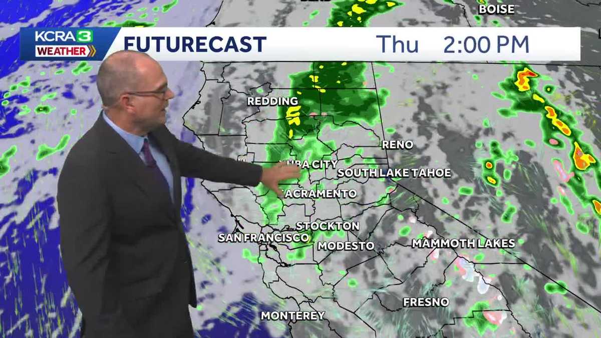 Rain is in the forecast for NorCal this week. Here's how much could fall.
Much cooler air moved in to start the week and rain chances will begin soon. A Pacific storm system is bringing fall-like weather to Northern California as it drops south along the West Coast. Cooler temperatures…
-
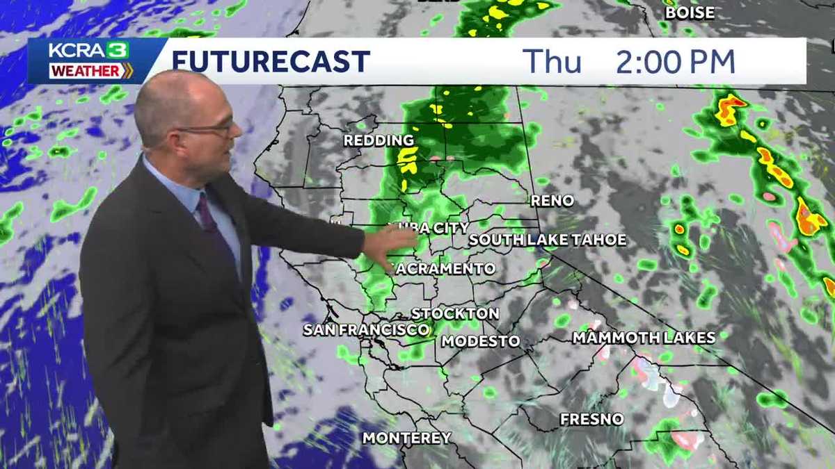 NorCal forecast: Here's when to expect rain this week
A weather system is bringing cool temperatures and a couple of rounds of showery weather to Northern California. Cool and unsettled weather is in the forecast later this week for Northern California. Measurable rain is…
-
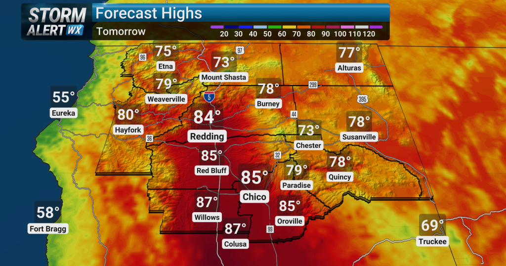 Warm conditions, elevated fire risk across Northern California today
Elevated fire weather conditions are expected to continue across the Sierra and adjacent foothills, including portions of the Sacramento Valley, through tonight due to persistent dry conditions. Overnight, high…
-
 ‘Danger zone’: These 5 US states are about to be hit hardest by El Niño, experts warn
Expect wildfires, floods and storms The world is entering a “danger zone of extreme weather” as the El Niño weather phenomenon starts to be felt, UN chief António Guterres recently said. His warnings have been echoed by…
-
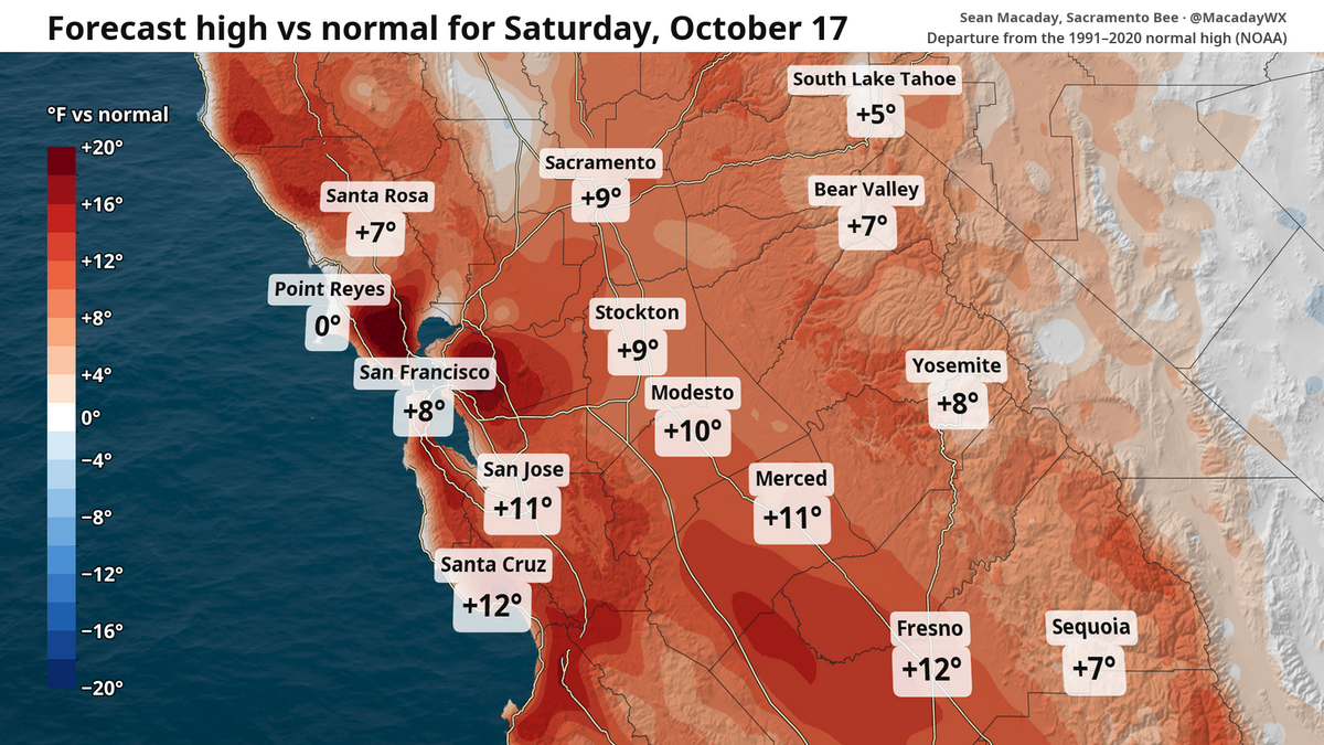 High temps in Fresno to fall 20 degrees this week. What to expect in Central Valley and state
Despite chilly weekend mornings, the high temperature in Fresno is expected to touch 90 Saturday and then fall to 70 by Wednesday. The topsy-turvy weather and winds can be a calling card of mid-October. After a brief…
- Wind advisory for Southern California until Saturday afternoon
Sacramento Bee The creation of this content included the use of AI based on templates created, reviewed and edited by journalists in the newsroom. Read more on our AI policy here. A wind advisory was issued by the NWS…
- Wind, cooldown and rain? What to expect this weekend and beyond in NorCal weather
Despite a breeze, this weekend is set to be the warmest stretch for the foreseeable future. Those factors will provide some fire risk before temperatures tumble and a window for rain opens next week. It’s a great…
- Sacramento Sizzles Under October Sun as Red Flag Winds Whip Sierra
Sacramento is starting Thursday clear and near 50 degrees, but the city is headed for a fast warm-up and an 87-degree afternoon. Skies stay sunny, rain stays away through the weekend, and the bigger concern is dry air…
- Sacramento Weather Sunny Skies And 80s Ahead
Sacramento is starting Wednesday clear and cool, with temperatures around 47 degrees early and a sunny afternoon with temperatures in the mid-to-upper 80s. The jacket weather will be brief: Valley temperatures are…
Air quality
Air quality is satisfactory, and air pollution poses little or no risk.
Forecast
- SatGood (44)
- SunGood (45)
- MonGood (43)
Roseville-Rocklin, CA reporting area · 2 hrs ago. Data from AirNow (EPA and its state, local and tribal partners); preliminary and subject to change.
Sun & moon
Nearby
- Sacramento 35 km
- Elk Grove 43 km
- Roseville 11 km
- Arden-Arcade 26 km
- Citrus Heights 12 km
- Folsom 10 km
- Rancho Cordova 23 km
- Davis 56 km
- Yuba City 57 km
- Carmichael 22 km
- Rocklin 7 km
- Woodland 54 km
Forecasters' discussion
From the National Weather Service office in STO, issued 20 hrs ago
Key Messages
- Breezy north to east winds develop today and into Saturday AM, followed by weaker downsloping winds Sat PM-Sun AM
- Dry weather continues through most of next week, chance for light showers over the Shasta County mountains on Monday
- Potential for unsettled weather Halloween Weekend, but details remain uncertain
.DISCUSSION...
...Today through Monday...
Scattered cloud cover is being observed across interior Northern California this afternoon via satellite. The weather system that brought widespread precipitation to the region is actively moving into the Desert Southwest. As ridging begins to build off the coast of NW California and the low treks further south, north to east winds will develop in the Sacramento Valley and downsloping northeast to east winds across the western slopes of the Sierra.
Aviation
Predominantly VFR conditions are expected over the next 24 hours, with isolated MVFR/IFR/LIFR conditions as a result of low clouds. Low ceilings and patchy fog are possible at SCK and MOD after 12Z Saturday which may result in MVFR/IFR/LIFR conditions. North to east winds increase in the Valley today, with sustained winds 10 to 20 kts and gusts 15 to 30 kts through 18Z Saturday. Gusty downsloping winds are also expected across the western slopes of the Sierra from 00Z to 18Z Saturday.
Sto Watches
None.
Forecasts, observations and alerts in the United States come from the National Weather Service (NOAA); radar from NOAA's Multi-Radar Multi-Sensor system; satellite imagery from NASA's Global Imagery Browse Services (GIBS) and NOAA's GOES satellites; the map from the U.S. Geological Survey's National Map; air quality from AirNow (EPA and its partners); hurricane information from the National Hurricane Center; climate normals and records from NOAA's Regional Climate Centers (ACIS). Forecasts outside the United States and the UV index: MET Norway (CC BY 4.0); observations outside the U.S.: airport reports via NOAA's Aviation Weather Center. Place names: GeoNames (CC BY 4.0). Data are copied on a schedule and may lag the sources; for warnings that affect your safety, follow your local National Weather Service office and emergency officials. Weather news is drawn from the 4Search index and reflects what the press published. Terms of use.