Install
Wickenburg, AZ Weather
Current conditions
Forecast for this hour (no station report in the last two hours)
Forecast
10-day-
Sunday
Sunny, with a high near 75. South wind 0 to 5 mph.
-
Sunday Night
Mostly clear, with a low around 57. North northwest wind 0 to 5 mph.
-
Monday
Sunny, with a high near 78. East wind 0 to 5 mph.
National Weather Service forecast updated 4 days ago.
Hourly
Hourly forecast- Now74°
- 2 PM74°
- 3 PM74°
- 4 PM74°
- 5 PM73°
- 6 PM70°
- 7 PM67°
- 8 PM64°
- 9 PM63°
- 10 PM62°
- 11 PM61°
- Mon12 AM60°
- 1 AM59°
- 2 AM58°
- 3 AM57°
- 4 AM57°
- 5 AM57°
- 6 AM57°
- 7 AM59°
- 8 AM61°
- 9 AM65°
- 10 AM70°
- 11 AM74°
- 12 PM76°
Daily forecast
Details- WedOct 21Chance Showers And Thunderstorms53%65°81°
- ThuOct 22Showers And Thunderstorms Likely58%57°76°
- FriOct 23Sunny54°72°
- SatOct 24Sunny55°73°
- TodayOct 25Sunny57°75°
- MonOct 26Sunny58°78°
- TueOct 27Sunny59°78°
- WedOct 28Partly cloudy53°81°
- ThuOct 29Cloudy52°82°
Days after the National Weather Service's seven are MET Norway's outlook, a computer model with no forecaster's review.
Radar
Full mapWeather news in Arizona
More weather news-
 MOST ACCURATE FORECAST: Cooler, drier air settles into Arizona
PHOENIX — The powerful fall storm that brought severe weather to Arizona this week has moved out of the state. The storm system triggered 16 Tornado Warnings across Arizona on Wednesday and Thursday. A likely tornado…
-
 Severe weather is leaving Arizona. Here’s what to expect next
After several days of severe weather across Arizona, mainly quiet conditions return for Friday and the weekend. Ian Schwartz has your First Alert forecast. PHOENIX (AZFamily) — After several days of severe weather…
-
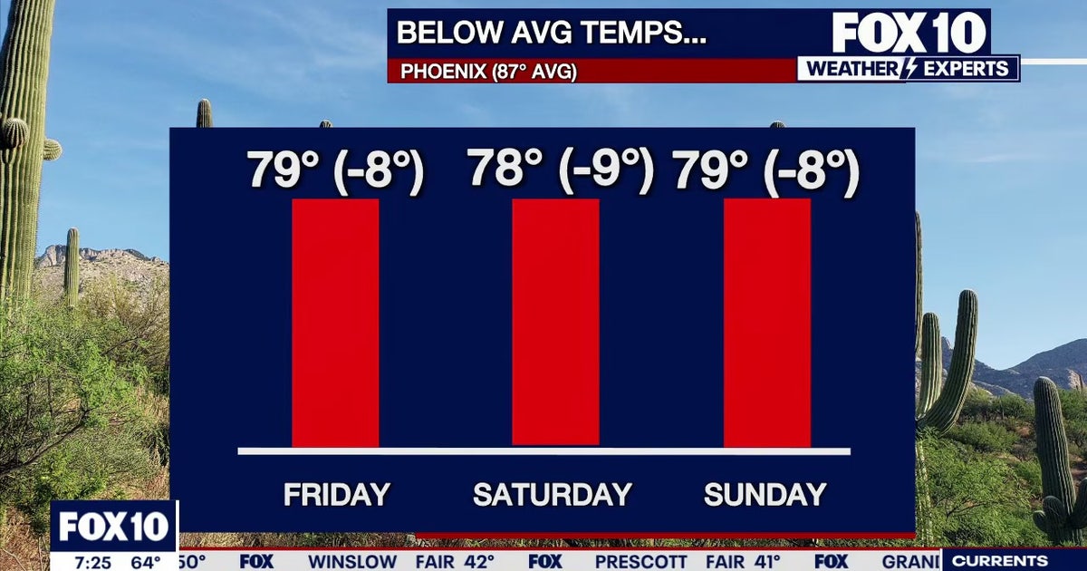 Arizona weather forecast: Cooler highs and sunny weekend skies in Phoenix
PHOENIX - Friday morning temperatures across Phoenix show most residents starting in the mid-to-upper 50s or low 60s. Wickenburg recorded upper 40s, while temperatures reached 59 degrees in Mesa, Phoenix-Mesa Gateway…
-
 MOST ACCURATE FORECAST: Tornado Watch for much of Arizona
PHOENIX — A powerful fall storm is moving through Arizona. Strong to severe storms are impacting parts of the state again Thursday. The storm threat shifts into eastern Arizona this afternoon before clearing out…
-
 After a stormy few days in Arizona, sunshine and fall temps return Friday
TUCSON, Ariz. (13 News) - Tornado Watch in Cochise, Graham, and Greenlee Counties until 8pm tonight. Severe weather potential remains this afternoon and evening throughout Arizona. A Flood Watch is still valid for our…
-
 Golf Ball-Sized Hailstones Pummel Parts of Arizona in Rare Storm
Tornado watches were issued for several areas—the first in Arizona since 2010. What would you like to watch today?
-
 Tornado Watch in effect for parts of southeast Arizona
TUCSON, Ariz. (13 News) - Another active day across the state. Main threat will be heavy rain, strong winds, hail, and potentially a tornado. A Tornado Watch has been issued for to Graham, Greenlee, and Cochise counties…
-
 Majority of Arizona under tornado watch as severe weather threat continues
PHOENIX (AZFamily) — A tornado warning has been issued for the Show Low area until 5:15 p.m. on Thursday afternoon. A tornado watch remains in effect for northern and eastern Arizona through 9 p.m. tonight. This…
- Tornado watch issued for parts of Arizona; severe weather watch in place
PHOENIX (AZFamily) — A majority of Arizona is under a tornado watch as the state braces for another day of severe weather. The National Weather Service Flagstaff says parts of eastern, northern and southern Arizona are…
-
 Hail the size of golf balls pummels parts of Arizona as rare storm moves through the West
PHOENIX — Hail the size of golf balls and damaging wind gusts pounded northern and central Arizona in a rare storm blowing through, bringing with it tornado risks and possible flash floods. The National Weather Service…
Air quality
Air quality is satisfactory, and air pollution poses little or no risk.
Forecast
- SunGood (40)
- MonGood (39)
- TueGood (43)
Prescott, AZ reporting area · 1 hr ago. Data from AirNow (EPA and its state, local and tribal partners); preliminary and subject to change.
Sun & moon
Nearby
- Surprise 52 km
- Sun City 59 km
- El Mirage 54 km
- Sun City West 49 km
- New River 55 km
- Youngtown 57 km
- Citrus Park 54 km
- Black Canyon City 55 km
Forecasters' discussion
From the National Weather Service office in PSR, issued 9 hrs ago
Update
Updated 12Z Aviation Discussion.
Key Messages
- Temperatures for the upcoming week will generally be within the normal range for late October with lower desert highs mostly in the mid eighties.
- Dry and tranquil weather conditions will last through the middle of week.
- A return to inclement weather with increased rainfall chances is likely towards the end of the week.
Short Term
The center of the upper low that brought some scattered showers and a few thunderstorms on Saturday is still hanging out over Arizona, but more over northern portions of the state. As it continues to weaken and lift northeastward today, any rain chances will exist only across northeastern Arizona. Drier air will also fill back in from the southwest today with generally clear skies across the lower deserts. Temperatures will also begin to trend upward with the exiting of the upper low with readings into the lower 80s for Phoenix to around 85 degrees in Yuma and El Centro.
A quiet weather pattern will then stay over the Southwestern U.S. during the first half of this week with quasi-zonal westerly dry flow lasting through Wednesday. Upper level heights will also stay near normal over the next several days allowing near normal temperatures under clear to mostly clear skies. NBM forecast highs do show readings nudging a bit more toward the upper 80s for Tuesday and Wednesday, but there is currently only a 25% chance (for KPHX) at reaching 90 degrees this week.
Long Term
Models continue to suggest a more organized large scale troughing pattern setting up later this week with the parent low setting up along the British Colombia coast before diving southward into the Pacific Northwest by Thursday. A secondary shortwave or weak closed low may also form west of California Wednesday into Thursday, more associated with the sub-tropical jet. What is likely to be more important is the eventual phasing of the polar jet over the Pacific Northwest with the stronger subtropical jet by next Friday. Both the EPS and GEFS support this phasing, while also strengthening the subtropical jet to near record strength for this time of year just west of Baja on Friday. Guidance then supports a fairly strong weather system (with H5 heights within the 10th percentile of climatology) developing within the base of the trough by next weekend. Although we are at around 5-7 days out from this next expected weather event, there is enough model evidence for us to begin worrying about another significant precipitation event. A bit more than 50% of the ensemble members favor the trough deepening just off the West Coast Friday into next weekend, likely pushing a modest to strong atmospheric river (AR) somewhere into the Southwestern U.S. next weekend.
As the trough first begins to set up during the middle part of the week, there is high confidence in strong northward moisture advection in the upper levels out of Mexico Wednesday night into Thursday. This should be followed by lower level moisture advection later Thursday into Friday. Although the timing may change and assuming the positioning of the subtropical jet is correct, shower chances may begin as early as late Thursday and carry into Friday under broad divergence aloft and modest upslope southerly flow. This first period of rain chances very well could change and confidence is still quite low in how much rain could fall.
Scattered mostly high terrain rain chances may continue into Saturday before the main weather system traverses the region at some point Saturday night and Sunday. Additional moisture advection is likely to occur, associated with the AR, right ahead of the weekend system, but it is too early to know where exactly the best moisture and forcing will end up. Even if we do not get a direct hit, ensemble guidance is heavily favoring at least a partial hit from the AR late Saturday into Sunday. Preliminary QPF numbers show upwards of an inch may be possible over the south- central Arizona lower deserts to upwards of 2" possible in the high terrain north and east of Phoenix. These numbers very well could change and seem to lean more on the optimistic side. If the upper end of precip guidance comes to fruition, locations across central Arizona are expected to have to worry about rising stream and river levels again, but it is doubtful there will be big flood concern due to the longer duration of the event. Given we are still outside the winter season, this weather system will be on the warmer side with snow levels likely staying above 9-10K feet.
Forecasts, observations and alerts in the United States come from the National Weather Service (NOAA); radar from NOAA's Multi-Radar Multi-Sensor system; satellite imagery from NASA's Global Imagery Browse Services (GIBS) and NOAA's GOES satellites; the map from the U.S. Geological Survey's National Map; air quality from AirNow (EPA and its partners); hurricane information from the National Hurricane Center; climate normals and records from NOAA's Regional Climate Centers (ACIS). Forecasts outside the United States and the UV index: MET Norway (CC BY 4.0); observations outside the U.S.: airport reports via NOAA's Aviation Weather Center. Place names: GeoNames (CC BY 4.0). Data are copied on a schedule and may lag the sources; for warnings that affect your safety, follow your local National Weather Service office and emergency officials. Weather news is drawn from the 4Search index and reflects what the press published. Terms of use. How to use Weather