Install
Prescott, AZ Weather
Current conditions
Observed at Prescott, Love Field · 52 min ago
Forecast
10-day-
Friday
Sunny, with a high near 61. South wind around 7 mph, with gusts as high as 16 mph.
-
Friday Night
Mostly clear, with a low around 43. North wind around 3 mph.
-
Saturday
A slight chance of showers and thunderstorms between 11am and 5pm. Mostly sunny, with a high near 60. Southeast wind around 5 mph.
National Weather Service forecast updated 1 day ago.
Hourly
Hourly forecast- Now48°
- 8 AM50°
- 9 AM54°
- 10 AM57°
- 11 AM59°10%
- 12 PM61°10%
- 1 PM61°10%
- 2 PM61°10%
- 3 PM60°10%
- 4 PM58°10%
- 5 PM56°
- 6 PM54°
- 7 PM52°
- 8 PM50°
- 9 PM48°
- 10 PM47°
- 11 PM46°
- Sat12 AM46°
- 1 AM45°
- 2 AM44°
- 3 AM43°
- 4 AM43°
- 5 AM43°
- 6 AM44°
10-day forecast
Details- TonightOct 21Showers And Thunderstorms89%54°
- ThuOct 22Showers And Thunderstorms87%46°64°
- TodayOct 23Sunny10%43°61°
- SatOct 24Slight Chance Showers And Thunderstorms13%42°60°
- SunOct 25Sunny43°63°
- MonOct 26Sunny44°65°
- TueOct 27Sunny44°66°
- WedOct 28Mostly Sunny65°
- ThuOct 29Cloudy0.12 in51°68°
- FriOct 30Rain0.20 in48°58°
Days after the National Weather Service's seven are MET Norway's outlook, a computer model with no forecaster's review.
Radar
Full mapWeather news near Prescott
More weather news-
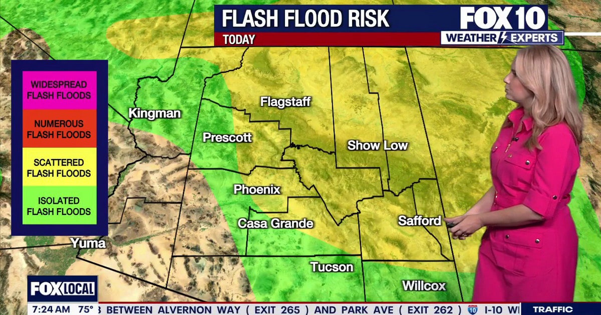 Arizona weather forecast: Thunderstorms, hail, and flood warnings hit the state
Severe thunderstorms push across Arizona, bringing hail, high winds, and flood risks before clearing on Thursday afternoon. PHOENIX - Showers are approaching Tempe as rain starts to fire off across Arizona. Tempe sits…
-
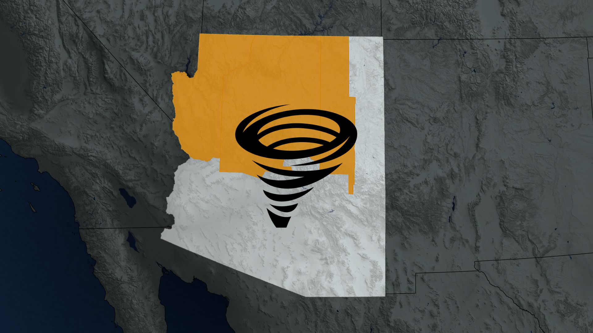 Rare tornado watch in Arizona is its first since 2010
An odd tornado watch was issued in parts of Arizona on Wednesday, an alert that hasn't been generated for the southwestern U.S. desert state since 2010 It's not often you see a tornado watch issued in Arizona, but…
-
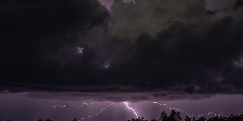 Rare severe storm threat targets Southern California while Arizona faces potential egg-sized hail, tornadoes
FLAGSTAFF, Ariz. — Severe thunderstorms blasted parts of Arizona early Wednesday ahead of a rare severe weather threat that will intensify through the day and into the evening. Parts of the state, including Flagstaff…
-
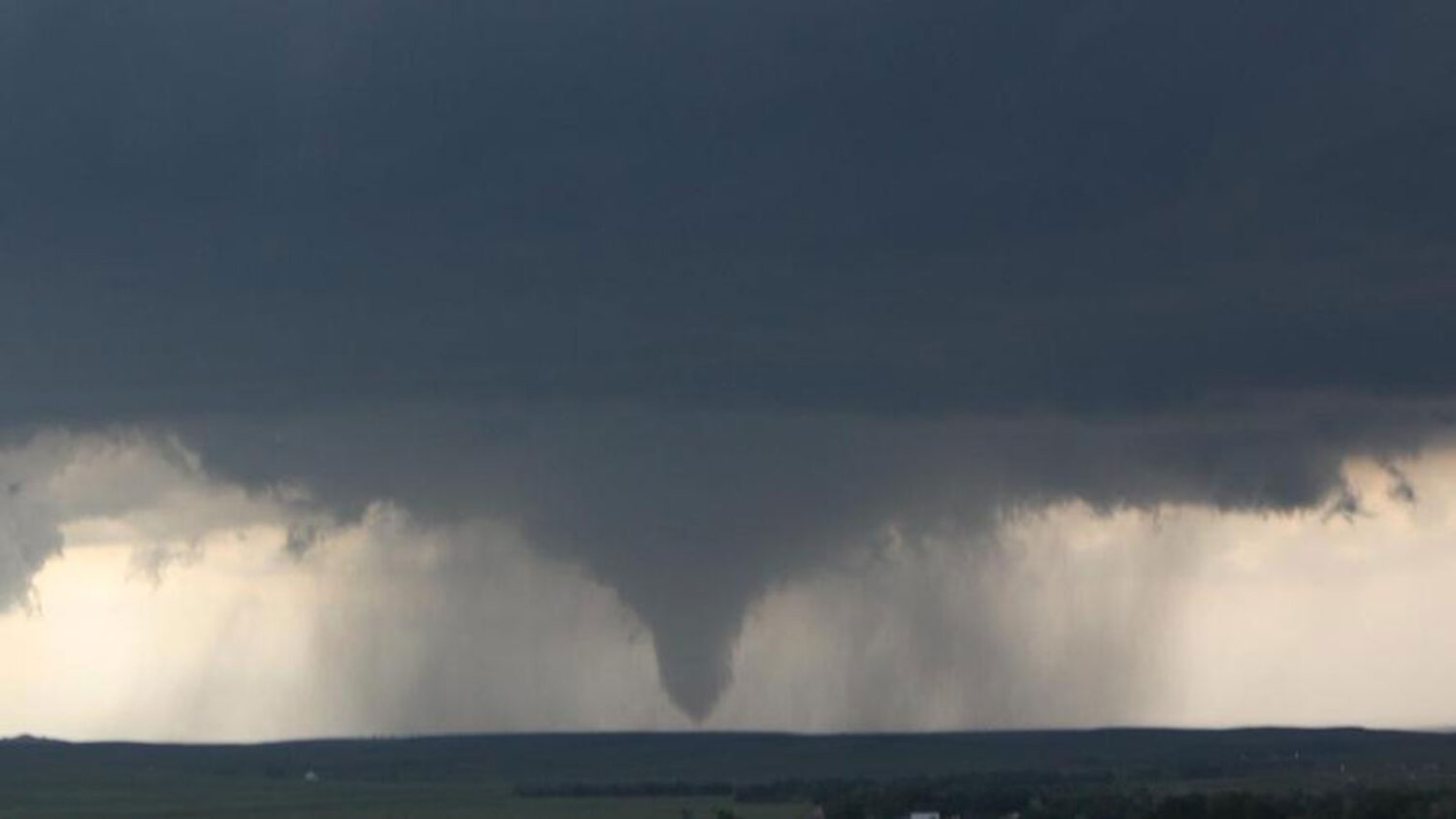 Tornado watch in effect for northern half of Arizona
More than 675,000 residents in Mohave, Coconino, Yavapai and Navajo counties are covered by the National Weather Service alert until 6 p.m. Wednesday. The National Weather Service issued several tornado warnings…
-
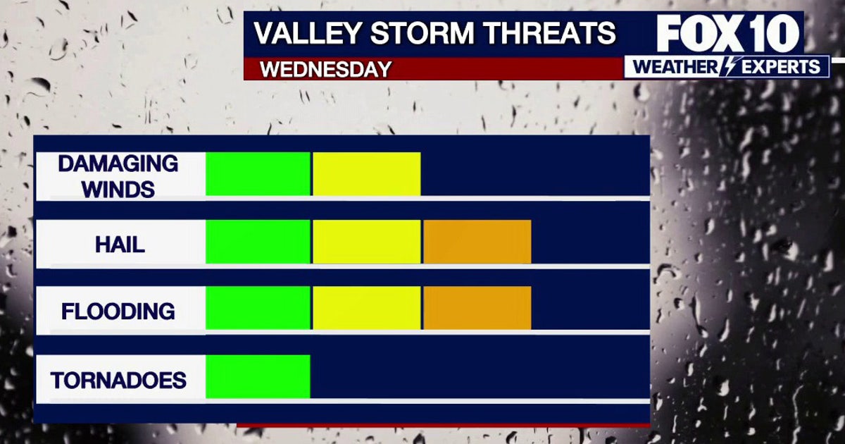 Arizona weather forecast: Tornado warnings and heavy hail hit the High Country
Severe thunderstorms and three tornado warnings prompted heightened weather alerts across parts of Arizona on Wednesday. PHOENIX - Severe weather swept across parts of Arizona during a busy Wednesday morning that…
- Severe weather chances increase in Arizona, with hail, tornado risks
Forecasts for the storms coming to Arizona have taken a more severe turn ahead of their arrival on Wednesday, Oct. 21. Recent updates from the Storm Prediction Center increased the threat level in the state up to an…
-
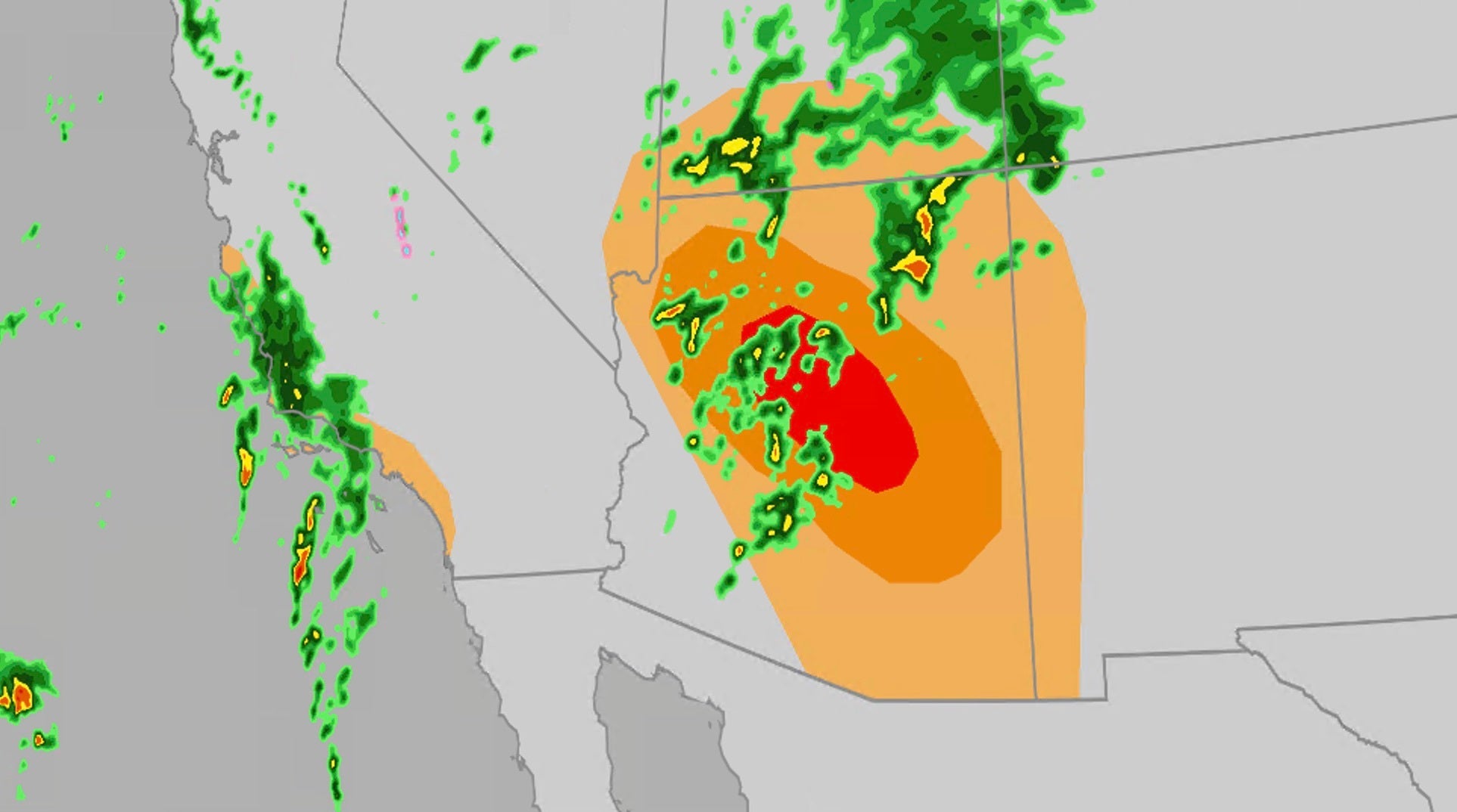 Significant severe, flooding risk for parts of the Southwest
The Weather Channel Large hail, tornadoes, flooding possible on Wednesday for Southwest Parts of the Southwest U.S. will face an elevated risk of severe weather Wednesday, which includes the possibility of large hail…
-
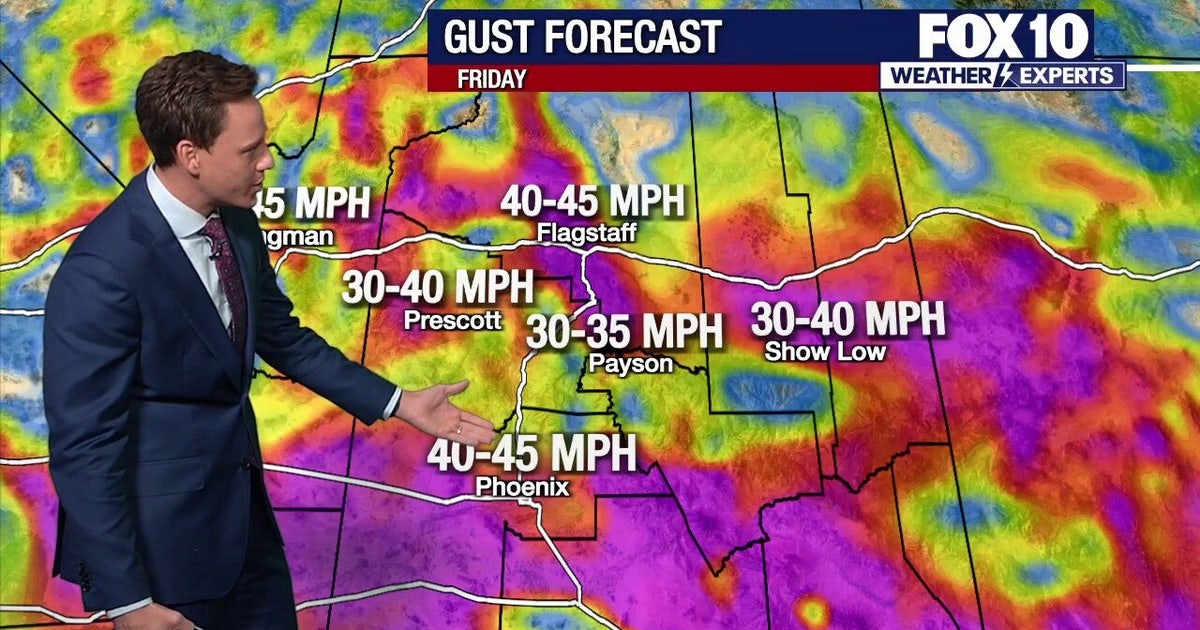 Arizona weather forecast: Strong wind gusts, blowing dust and weekend rain chances ahead
Strong winds up to 45 mph hit Arizona on Friday. Highs will reach 87 degrees in Phoenix before rain chances move in on Saturday. The satellite radar picture shows clear conditions early, but by Saturday morning, clouds…
-
 MOST ACCURATE FORECAST: Tornado Watch for much of Arizona
PHOENIX — A powerful fall storm is moving through Arizona. Strong to severe storms are impacting parts of the state again Thursday. The storm threat shifts into eastern Arizona this afternoon before clearing out…
-
 Golf Ball-Sized Hailstones Pummel Parts of Arizona in Rare Storm
Tornado watches were issued for several areas—the first in Arizona since 2010. What would you like to watch today?
Air quality
Air quality is satisfactory, and air pollution poses little or no risk.
Forecast
- FriGood (41)
- SatGood (36)
- SunGood (34)
Prescott, AZ reporting area · 2 hrs ago. Data from AirNow (EPA and its state, local and tribal partners); preliminary and subject to change.
Sun & moon
Almanac
MonthlyPrescott, records since 1898. Normals 1991–2020. Data from NOAA's Regional Climate Centers (ACIS).
Nearby
- Prescott Valley 16 km
- Cottonwood 47 km
- Verde Village 46 km
- Camp Verde 56 km
- Chino Valley 24 km
- Williamson 18 km
- Paulden 38 km
- Clarkdale 46 km
- Dewey-Humboldt 21 km
- Cornville 54 km
- Black Canyon City 60 km
- Cordes Lakes 42 km
Forecasters' discussion
From the National Weather Service office in FGZ, issued 14 hrs ago
Synopsis
A period of very active weather continues, with a Severe Thunderstorm Watch is in effect until 10 AM MST today for all of northern Arizona. The primary hazards include large hail, damaging winds, flooding, and even a few tornadoes. The severe weather threat shifts toward eastern Arizona later today, with drier conditions and only low chances for showers and thunderstorms over the higher terrain of eastern Arizona on Friday. Over the weekend, the forecast calls for below -normal temperatures and an uptick in shower and thunderstorm activity Saturday, perhaps persisting into Sunday.
Discussion
Current satellite and upper-air analysis show an unusually deep low-pressure system off the southern California coast. This system is pulling a rich subtropical moisture plume into the state, yielding record amounts of atmospheric moisture for this time of year. As a result, active weather conditions continue across northern Arizona tonight, with scattered thunderstorms capable of producing heavy rain, along with severe hail and powerful downdraft winds. In addition, radar indicates the presence of rotating supercells due to 0-6 km deep-layer bulk shear in excess of 50 kts.
The West Coast low will continue to pump warm, moist low level air into the state as it moves inland and lifts to the northeast today. Unstable conditions (CAPE of 500-1500 J/kg) will combine with 40-55 kts of deep-layer bulk shear to produce additional rounds of severe, supercell thunderstorms. These storms will be capable of producing hail between 1 and 2 inches in diameter, damaging winds in excess of 58 mph, and even a few tornados. The SPC has reissued a Severe Thunderstorm Watch for northern Arizona, which is in effect until 10 AM MST. In addition, heavy rain will accompany these fast moving storms. So, flash flooding and flooding are concerns in areas that receive multiple rounds of convective activity. Soils are saturated across northern Arizona, and flash flooding is already occurring across portions of the Navajo Nation within Moenkopi Wash and Chinle Creek. A Flood Watch continues through 11 PM MST tonight. The passing low is forecast to push a cold front through the region from later this afternoon through Friday morning, shifting the risk for severe weather and flash flooding eastward as it does so. Behind the front, drier and more stable conditions will inhibit storm formation.
On Friday, dry conditions return, with only low chances for showers and thunderstorms (10-25%) forecast over the higher terrain of eastern Arizona. That said, a closed low is forecast to develop over northern Arizona this weekend bringing well below- normal temperatures and an uptick in shower and thunderstorm activity Saturday, perhaps persisting into Sunday. These storms will develop in an environment characterized by low shear, low instability and much less atmospheric moisture, resulting in a low severe weather and flash flood threat. Quiet weather is forecast to start next workweek.
Aviation
Friday 23/00Z through Saturday 24/00Z...Overnight, SHRA/TSRA activity will continue through 07Z, gradually shifting eastward through the period. Large hail and isolated tornadoes will still be possible. After 07Z, look for partly to mostly cloudy skies. Expect frequent MVFR/IFR conditions through 12Z with much improved conditions after that point. Winds generally light from the southwest at 5-15 kts.
OUTLOOK...Saturday 24/00Z through Monday 26/00Z...Mainly VFR conditions. Friday will see isolated SHRA/TSRA over the higher terrain of eastern Arizona. Chances for SHRA/TSRA increase again Saturday into Sunday. Winds south to southwest 10-15 kts Friday, light and variable on Saturday, then becoming west to northwest 5-15 kts on Sunday.
Fire Weather
Today and Friday...Active weather conditions continue today. Today's storms may produce very heavy rainfall leading to flooding or flash flooding. In addition, stronger storms may produce severe winds, large hail, and even a tornado or two. Outside of storms, expect south to southwest winds 10-20 mph with gusts 30-40 mph. Mainly dry conditions and lighter winds are forecast on Friday, with only low chances for showers and thunderstorms (10-25%) forecast over the higher terrain of eastern Arizona.
Saturday through Monday...A weak low pressure system is forecast to bring an uptick in shower and thunderstorm activity on Saturday, with the potential for isolated activity persisting on Sunday. Dry weather is forecast to start next workweek. Expect light northerly winds 5-15 mph on Saturday and Sunday, becoming more northeast to east Monday but remaining light.
Forecasts, observations and alerts in the United States come from the National Weather Service (NOAA); radar from NOAA's Multi-Radar Multi-Sensor system; satellite imagery from NASA's Global Imagery Browse Services (GIBS) and NOAA's GOES satellites; the map from the U.S. Geological Survey's National Map; air quality from AirNow (EPA and its partners); hurricane information from the National Hurricane Center; climate normals and records from NOAA's Regional Climate Centers (ACIS). Forecasts outside the United States and the UV index: MET Norway (CC BY 4.0); observations outside the U.S.: airport reports via NOAA's Aviation Weather Center. Place names: GeoNames (CC BY 4.0). Data are copied on a schedule and may lag the sources; for warnings that affect your safety, follow your local National Weather Service office and emergency officials. Weather news is drawn from the 4Search index and reflects what the press published. Terms of use.