Install
Pima, AZ Weather
Current conditions
Observed at Safford, Safford Municipal Airport · 1 hr ago
Forecast
10-day-
Tonight
Showers and thunderstorms before 11pm, then a chance of showers and thunderstorms between 11pm and 5am, then showers and thunderstorms likely. Mostly cloudy, with a low around 63. East wind 5 to 13 mph, with gusts as high as 23 mph. Chance of precipitation is 80%.
-
Thursday
Showers and thunderstorms. Mostly cloudy. High near 82, with temperatures falling to around 75 in the afternoon. East southeast wind 6 to 20 mph. Chance of precipitation is 80%.
-
Thursday Night
Showers and thunderstorms before 8pm, then a slight chance of showers and thunderstorms between 8pm and 11pm, then a chance of showers and thunderstorms. Mostly cloudy, with a low around 59. West northwest wind around 5 mph. Chance of precipitation is 80%.
National Weather Service forecast updated 11 hrs ago.
Hourly
Hourly forecast- Now76°79%
- 7 PM73°79%
- 8 PM71°67%
- 9 PM70°67%
- 10 PM69°67%
- 11 PM68°35%
- Thu12 AM68°35%
- 1 AM67°35%
- 2 AM67°54%
- 3 AM67°54%
- 4 AM66°54%
- 5 AM65°62%
- 6 AM64°62%
- 7 AM64°62%
- 8 AM67°59%
- 9 AM72°59%
- 10 AM75°59%
- 11 AM78°71%
- 12 PM79°71%
- 1 PM80°71%
- 2 PM81°80%
- 3 PM79°80%
- 4 PM78°80%
- 5 PM75°78%
Daily forecast
Details- TodayOct 21Chance Showers And Thunderstorms79%63°86°
- ThuOct 22Showers And Thunderstorms80%59°82°
- FriOct 23Chance Rain Showers26%55°79°
- SatOct 24Slight Chance Showers And Thunderstorms11%53°76°
- SunOct 25Sunny54°76°
- MonOct 26Sunny56°77°
- TueOct 27Sunny55°77°
- WedOct 28Partly cloudy56°76°
- ThuOct 29Cloudy55°77°
Days after the National Weather Service's seven are MET Norway's outlook, a computer model with no forecaster's review.
Radar
Full mapWeather news near Pima
More weather news-
 Wind Advisory until this afternoon, rain chances return overnight
TUCSON, Ariz. (13 News) - A Wind Advisory remains in effect until 2 this afternoon, with east-southeast winds gusting up to 55 mph. Winds ease this evening, with calmer conditions returning Sunday. We’re also tracking…
-
 Will it rain in Phoenix after the wind? Here’s the latest forecast
Arizona is facing wind gusts up to 55 mph and blowing dust tonight, but a cooler pattern and possible rain are waiting just around the corner. A High Wind Warning remains in effect for southeastern Arizona through…
- Phoenix Wind Advisory Brings Dusty Friday Before Weekend Cooling
The advisory runs from 8 a.m. to 3 p.m. Friday, with east winds of 15 to 25 mph and gusts reaching 35 to 45 mph expected, according to the National Weather Service. The Phoenix area should reach about 89 degrees…
- Why is it so windy today? See Phoenix weather forecast
Strong winds have been blowing into Arizona since Thursday night, Oct. 15, and they'll become more powerful by midday Friday, Oct. 16, likely leading to blowing dust and difficult driving conditions, and anything not…
-
 Southern Arizona braces for 70 mph wind gusts
TUCSON, Ariz. (KVOA) -- Sustained and dangerous winds are expected to sweep through Southern Arizona, including in one area hit by severe winds just a few months ago. A high wind warning is in effect for parts of Pima…
-
 Southeastern Arizona urged to brace for powerful winds
Powerful winds are expected across southeastern Arizona beginning Thursday night, with gusts reaching up to 75 mph in some areas, the National Weather Service in Tucson says. A high wind warning will be in effect from…
-
 Thursday's calm before a windy weekend
KGUN 9 TUCSON, Ariz. (KGUN) — Tucson will see temperatures just a few degrees below average Thursday, with strong east to southeast winds becoming the main concern heading into the weekend. Winds are expected to pick up…
- Tropical Storm Rachel to Bring Heavy Rain, Flooding, Potentially Gusty Winds for Arizona on Sunday
The secondary impact will be gusty winds due to Tropical Storm over southern California on Sunday. Expect gusty winds of 25 to 45 mph in western Arizona for western Pima, Yuma, La Paz, western Pinal, western Maricopa…
-
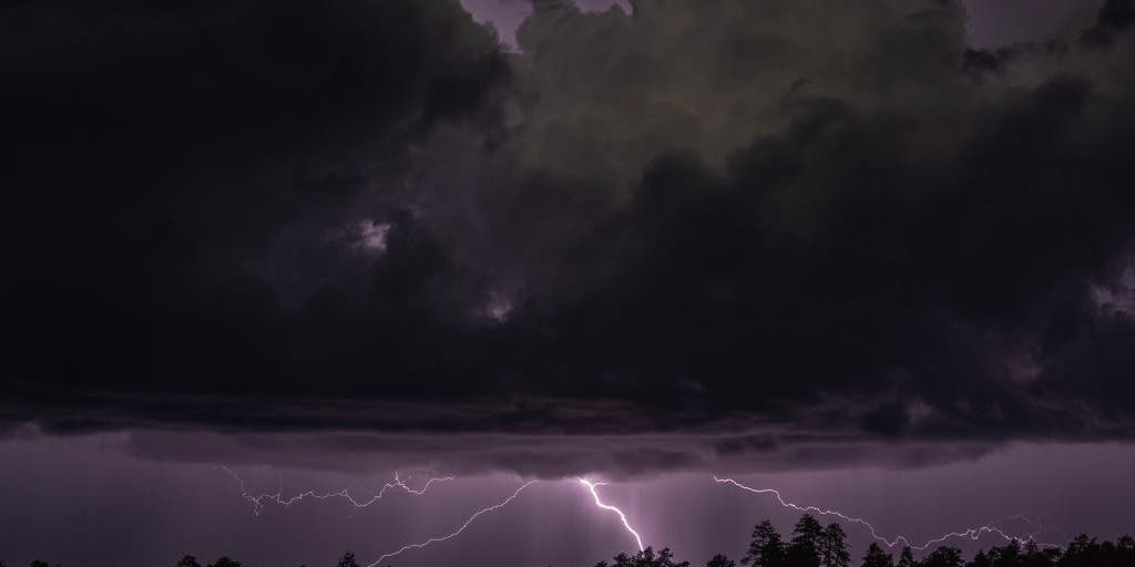 Rare severe storm threat targets Southern California while Arizona faces potential egg-sized hail, tornadoes
FLAGSTAFF, Ariz. — Severe thunderstorms blasted parts of Arizona early Wednesday ahead of a rare severe weather threat that will intensify through the day and into the evening. Parts of the state, including Flagstaff…
-
 Arizona's wild weather attracting storm chasers nationwide
AZ Family Arizona's wild weather attracting storm chasers nationwide Watch: Hail and heavy storms hit Flagstaff amid tornado warning Pending home sales hit record low: What it means for Phoenix buyers and sellers What…
Sun & moon
Almanac
MonthlySafford Municipal Ap, records since 1998. Normals 1991–2020. Data from NOAA's Regional Climate Centers (ACIS).
Nearby
- Safford 13 km
- Thatcher 8 km
- Clifton 53 km
- Swift Trail Junction 21 km
Forecasters' discussion
From the National Weather Service office in TWC, issued 15 hrs ago
Synopsis
Temperatures at or slightly above normal today and Thursday, then cooler than normal Friday into this weekend. An unsettled weather pattern continues with strong to severe thunderstorms possible today and Thursday. Main threat will be heavy rain, strong winds, and hail.
Discussion
Satellite imagery this morning showed considerable mid-high level clouds under southwest flow aloft out ahead of a strong upper level low off southern CA coast. Thunderstorm activity this morning as been across central and northern AZ and that should remain the case through 12 noon. As the upper low moves closer to the SoCal coast, the upper divergent field that is NW to Tucson will expand over the area. Scattered showers and thunderstorms that develop this afternoon will be capable of near severe strong winds, large hail and brief heavy rain with rainfall rates of 1-2"/hr. This is especially true across Pinal, Graham and Greenlee counties. A few strong storms are possible this evening into the overnight hours. For Thursday as the upper level trof moves inland there will be another round of scattered strong thunderstorms along with brief heavy rain. Flash flood watch remain in effect for later today into Thursday for Pinal, Graham and Greenlee counties.
Drier air moves in for Friday, though some lingering showers possible near the NM border, which could linger into the weekend as well.
Temperatures through Thursday will be at or slightly above normal, then cooler than normal Friday into this weekend. Latest NBM has a freeze potential at the highest elevations of the White Mountains Sun/Mon morning.
Aviation
Valid thru 22/12Z. SCT-BKN clouds 8-12k ft agl. Aft 21/17z, SCT -SHRA/-TSRA thru end of valid pd. Any shower or storm could produce brief MVFR/IFR in addition to strong winds to 50 kts, small to marginally severe hail and brief heavy rain. SFC winds away from TS mainly less than 12 kts. Aviation discussion not updated for TAF amendments.
Fire Weather
Temperatures at or slightly above normal today and Thursday, then cooler than normal Friday into this weekend. Wind speeds mostly less than 15 mph this week except for Thursday with southwest winds around 15 to 20 mph. Minimum relative humidity remains above 25-40+ percent in the valleys through the week with most days seeing anywhere from a 20-80 percent chance of showers with embedded thunderstorms at times as an unsettled pattern continues.
Forecasts, observations and alerts in the United States come from the National Weather Service (NOAA); radar from NOAA's Multi-Radar Multi-Sensor system; satellite imagery from NASA's Global Imagery Browse Services (GIBS) and NOAA's GOES satellites; the map from the U.S. Geological Survey's National Map; air quality from AirNow (EPA and its partners); hurricane information from the National Hurricane Center; climate normals and records from NOAA's Regional Climate Centers (ACIS). Forecasts outside the United States and the UV index: MET Norway (CC BY 4.0); observations outside the U.S.: airport reports via NOAA's Aviation Weather Center. Place names: GeoNames (CC BY 4.0). Data are copied on a schedule and may lag the sources; for warnings that affect your safety, follow your local National Weather Service office and emergency officials. Weather news is drawn from the 4Search index and reflects what the press published. Terms of use.