Install
Marianna, AR Weather
Current conditions
Forecast for this hour (no station report in the last two hours)
Forecast
10-day-
Saturday Night
Mostly clear, with a low around 49. East southeast wind around 0 mph.
-
Sunday
Mostly sunny, with a high near 77. East southeast wind 0 to 5 mph.
-
Sunday Night
Mostly cloudy, with a low around 49. East southeast wind 0 to 5 mph.
National Weather Service forecast updated 2 days ago.
Hourly
Hourly forecast- Now74°
- 7 PM70°
- 8 PM66°
- 9 PM62°
- 10 PM59°
- 11 PM57°
- Sun12 AM57°
- 1 AM56°
- 2 AM54°
- 3 AM53°
- 4 AM51°
- 5 AM50°
- 6 AM49°
- 7 AM49°
- 8 AM53°
- 9 AM59°
- 10 AM64°
- 11 AM68°
- 12 PM71°
- 1 PM74°
- 2 PM76°
- 3 PM77°
- 4 PM77°
- 5 PM75°
10-day forecast
Details- ThuOct 22Sunny50°81°
- FriOct 23Sunny48°81°
- TodayOct 24Sunny49°80°
- SunOct 25Mostly Sunny49°77°
- MonOct 26Partly Sunny50°76°
- TueOct 27Mostly Sunny52°76°
- WedOct 28Mostly Sunny48°77°
- ThuOct 29Sunny57°79°
- FriOct 30Partly cloudy48°64°
- SatOct 31Cloudy47°70°
Days after the National Weather Service's seven are MET Norway's outlook, a computer model with no forecaster's review.
Radar
Full mapWeather news in Arkansas
More weather news-
 Drought threatens Arkansas duck season, AGFC warns
K8 News | Jonesboro, Arkansas Drought threatens Arkansas duck season, AGFC warns Valley View volleyball moves to 28-2, wins a share of the 5A East title AAA: Arkansas motorists see another drop at the pump A-State…
-
 Northeast Arkansas Weather Update for October 21
| Live Stream | kjnbtv.com kjnbtv.com Mostly clear with a high of 76° and a low of 50°. - Jonesboro Veterans Day Parade seeks participants for America's 250th anniversary - Delta Symphony Orchestra to perform Pirates…
-
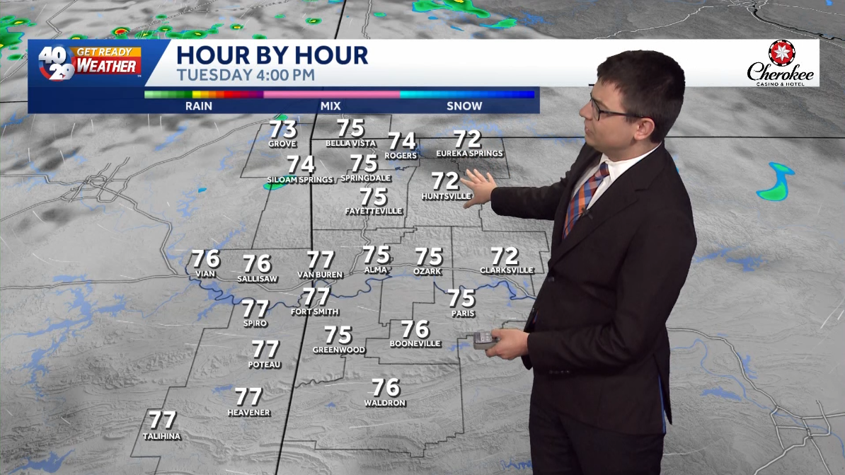 A few clouds and comfortably warm for Tuesday in Arkansas
Expect a few clouds across the region today. High temperatures will be pleasantly warm this afternoon, with highs in the mid 70s in Northwest Arkansas and the River Valley. High temperatures gradually warm up throughout…
-
 Arkansas Storm Team Forecast: Still no rain in sight
While temperatures will steadily return to the 80s this week in Arkansas, rain chances won’t return in this forecast. That means the wildfire danger persists. Tuesday, October 20, expect partly to mostly sunny skies…
-
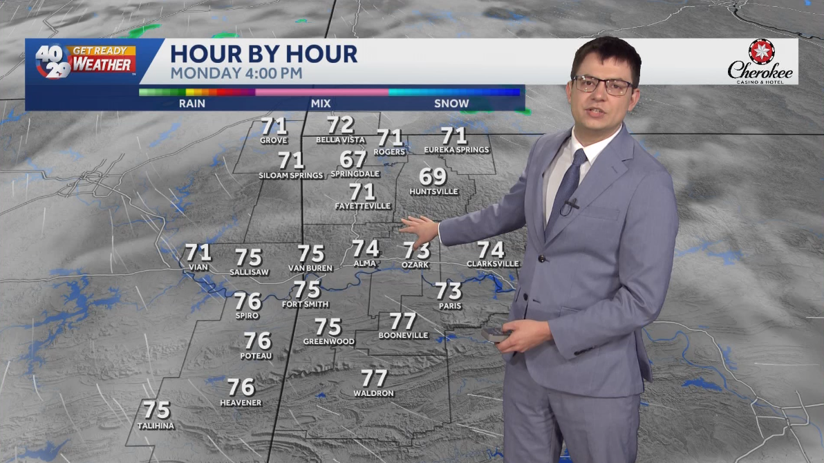 Seasonally warm to start the work week in Arkansas
Morning lows will remain in the 40s over the next few days. Afternoon highs will start to warm back into the 70s early in the work week. High temperatures will warm back into the 80s later in the week. Watch the…
Air quality
Air quality is satisfactory, and air pollution poses little or no risk.
Forecast
- SatModerate (51)
- SunModerate (51)
- MonModerate
Hernando, MS reporting area · 1 hr ago. Data from AirNow (EPA and its state, local and tribal partners); preliminary and subject to change.
Sun & moon
Almanac
MonthlyMarianna 2 S, records since 1899. Normals 1991–2020. Data from NOAA's Regional Climate Centers (ACIS).
Nearby
- Forrest City 26 km
- Helena-West Helena 31 km
- Wynne 50 km
- West Helena 27 km
- Helena 31 km
- Brinkley 42 km
Forecasters' discussion
From the National Weather Service office in MEG, issued 5 hrs ago
Key Messages
Issued at 1215 PM CDT Sat Oct 24 2026
- Dry conditions and above-normal temperatures will persist across the Mid-South through much of the next week.
- Elevated fire weather conditions will continue into early next week due to warm temperatures, low relative humidity, and dry vegetation.
Discussion
(This evening through next Friday) Issued at 1215 PM CDT Sat Oct 24 2026
Warm and dry weather conditions will persist across the Mid-South this week as an anomalous ridge maintains its grip over the central CONUS. Geopotential heights at 500 mb are at the max of climatology across the Upper Midwest and still well above the 90th percentile as far south as the Lower MS Valley. While this ridge will become less amplified throughout the week, 500 mb heights will remain well above climatology across the Southeast, maintaining the status quo. Column precipitable water will remain in the vicinity of 0.50" through most of the week, which is roughly half of the climatological norm for late October. Efficient diurnal mixing will promote generally low relative humidity values each afternoon and wider-than-normal diurnal temperature ranges. Keeping with the recent theme, no precipitation is expected through the work week.
Persistent troughing over the western CONUS will result in southwesterly flow aloft from the Southern Plains into the Middle MS Valley by midweek. Individual shortwave troughs will pass far to the north of the CWA, but we should see some impact via increased mid/high clouds from day to day. The stubborn surface anticyclone over the OH Valley will gradually shift farther east this week, but proximity to this high will limit southerly wind speeds and the subsequent moisture return.
There may be some light at the end of the tunnel, or rather a faint glow of light. A strong subtropical jet is projected to round the base of the western trough and propagate across the Southern Plains. This may be just enough of a nudge to the east to advect some deeper moisture into the region over the weekend. Ensemble guidance is hinting at increasing rain (liquid that falls from the sky) chances by Saturday. Confidence is low in the timing, as these split flow patterns upstream of a blocking ridge often arrive later than initially suggested by numerical guidance.
Aviation
(18Z TAFS) Issued at 1215 PM CDT Sat Oct 24 2026
No aviation concerns this period as high pressure allows light southeast winds and VFR ceilings to prevail.
Fire Weather
Issued at 1215 PM CDT Sat Oct 24 2026
Elevated fire weather conditions will persist across the Mid- South into early next week. The combination of above-normal daytime temperatures, low relative humidity, and very dry fuels will continue to promote an environment favorable for fire starts and growth, despite the relatively light 20-foot wind speeds. The persistent drought has led to ERC values above the 90th percentile area-wide, with some areas near the 97th percentile. Above-normal temperatures and rain-free conditions will persist through the work week. Patchy fog will be possible each morning, primarily near water sources and in the low-lying areas of West Tennessee and north Mississippi.
Forecasts, observations and alerts in the United States come from the National Weather Service (NOAA); radar from NOAA's Multi-Radar Multi-Sensor system; satellite imagery from NASA's Global Imagery Browse Services (GIBS) and NOAA's GOES satellites; the map from the U.S. Geological Survey's National Map; air quality from AirNow (EPA and its partners); hurricane information from the National Hurricane Center; climate normals and records from NOAA's Regional Climate Centers (ACIS). Forecasts outside the United States and the UV index: MET Norway (CC BY 4.0); observations outside the U.S.: airport reports via NOAA's Aviation Weather Center. Place names: GeoNames (CC BY 4.0). Data are copied on a schedule and may lag the sources; for warnings that affect your safety, follow your local National Weather Service office and emergency officials. Weather news is drawn from the 4Search index and reflects what the press published. Terms of use.