Install
Lake Village, AR Weather
Current conditions
Observed at Greenville, Mid Delta Regional Airport · 1 hr ago
Forecast
10-day-
Sunday Night
Partly cloudy, with a low around 51. East wind 0 to 5 mph.
-
Monday
Mostly sunny, with a high near 76. East wind 0 to 5 mph.
-
Monday Night
Partly cloudy, with a low around 49. East northeast wind 0 to 5 mph.
National Weather Service forecast updated 2 days ago.
Hourly
Hourly forecast- Now71°
- 8 PM69°
- 9 PM66°
- 10 PM64°
- 11 PM62°
- Mon12 AM60°
- 1 AM58°
- 2 AM56°
- 3 AM55°
- 4 AM54°
- 5 AM52°
- 6 AM51°
- 7 AM52°
- 8 AM55°
- 9 AM60°
- 10 AM65°
- 11 AM69°
- 12 PM72°
- 1 PM74°
- 2 PM76°
- 3 PM76°
- 4 PM76°
- 5 PM75°
- 6 PM73°
10-day forecast
Details- TonightOct 22Clear51°
- FriOct 23Sunny52°82°
- SatOct 24Sunny51°82°
- TodayOct 25Sunny51°79°
- MonOct 26Mostly Sunny49°76°
- TueOct 27Mostly Sunny50°77°
- WedOct 28Sunny49°79°
- ThuOct 29Sunny80°
- FriOct 30Cloudy58°81°
- SatOct 31Heavy rain1.00 in65°70°
Days after the National Weather Service's seven are MET Norway's outlook, a computer model with no forecaster's review.
Radar
Full mapWeather news in Arkansas
More weather news-
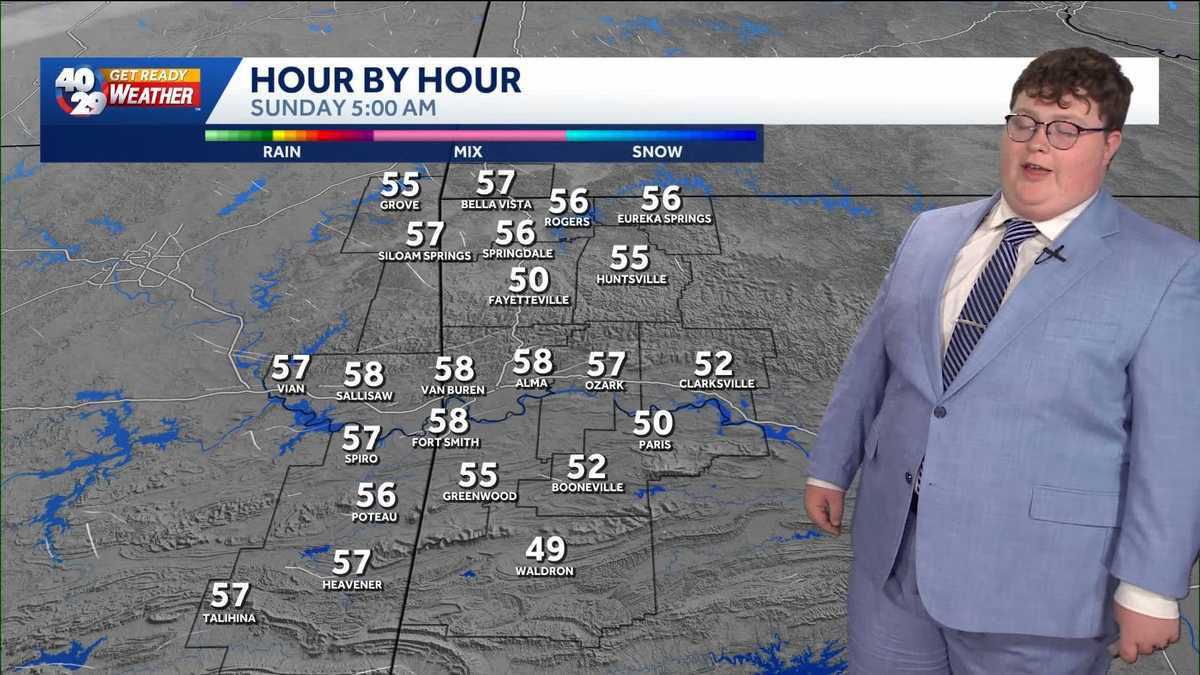 Ending the weekend off on a mild note in Arkansas
Overall, not many changes will be felt as we end off the weekend in Arkansas. Mild and dry conditions will prevail over the next few days. However, rain chances could return by Friday. Watch the videocast above to learn…
-
 Drought threatens Arkansas duck season, AGFC warns
K8 News | Jonesboro, Arkansas Drought threatens Arkansas duck season, AGFC warns Valley View volleyball moves to 28-2, wins a share of the 5A East title AAA: Arkansas motorists see another drop at the pump A-State…
-
 Northeast Arkansas Weather Update for October 21
| Live Stream | kjnbtv.com kjnbtv.com Mostly clear with a high of 76° and a low of 50°. - Jonesboro Veterans Day Parade seeks participants for America's 250th anniversary - Delta Symphony Orchestra to perform Pirates…
-
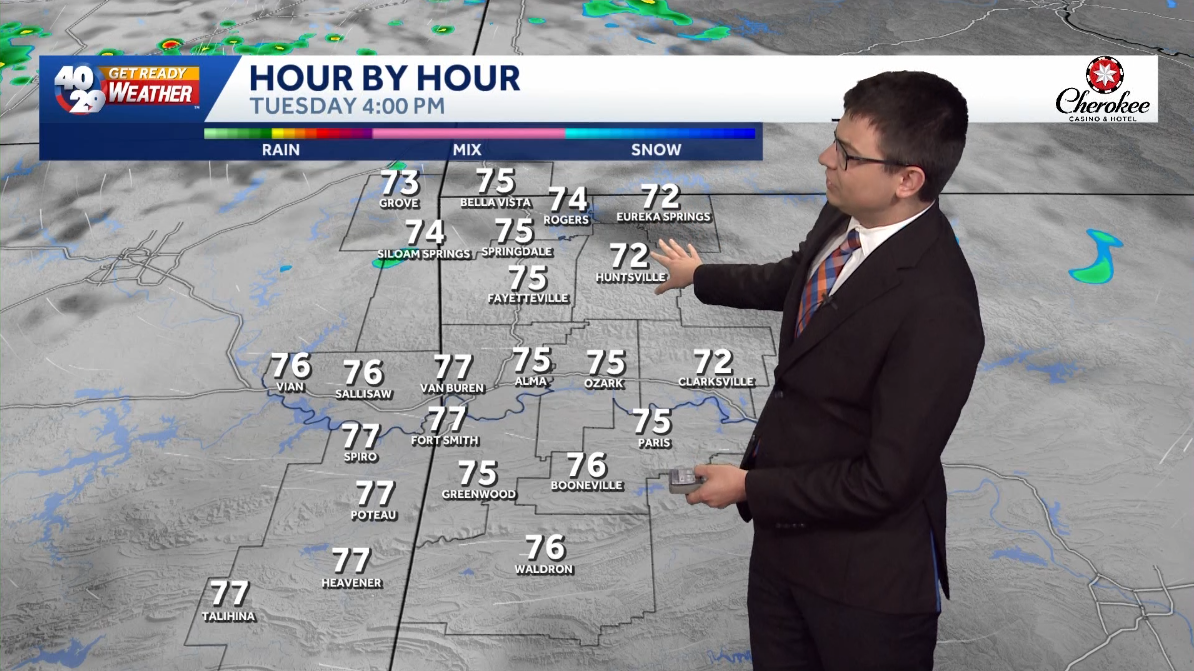 A few clouds and comfortably warm for Tuesday in Arkansas
Expect a few clouds across the region today. High temperatures will be pleasantly warm this afternoon, with highs in the mid 70s in Northwest Arkansas and the River Valley. High temperatures gradually warm up throughout…
-
 Arkansas Storm Team Forecast: Still no rain in sight
While temperatures will steadily return to the 80s this week in Arkansas, rain chances won’t return in this forecast. That means the wildfire danger persists. Tuesday, October 20, expect partly to mostly sunny skies…
Air quality
Air quality is satisfactory, and air pollution poses little or no risk.
Cleveland, MS reporting area · 1 hr ago. Data from AirNow (EPA and its state, local and tribal partners); preliminary and subject to change.
Sun & moon
Almanac
MonthlyGreenville Area, records since 1903. Normals 1991–2020. Data from NOAA's Regional Climate Centers (ACIS).
Nearby
- Greenville 22 km
- Indianola 60 km
- Monticello 58 km
- Leland 37 km
- McGehee 35 km
- Lake Providence 59 km
- Hamburg 49 km
- Dermott 26 km
- Hollandale 44 km
- Eudora 24 km
Forecasters' discussion
From the National Weather Service office in JAN, issued 5 hrs ago
Key Messages
- Elevated fire danger concerns will persist through much of the upcoming week due to very dry ground conditions and low humidity each day.
Discussion
Issued at 126 PM CDT Sun Oct 25 2026
Through the Week...
The forecast remains on track: Sprawling high pressure over our region is the primary driver of (no) weather heading into the new week. A highly amplified upper- level ridge axis extends along the Mississippi River this afternoon, while the axis of the surface high pressure system over the Northeast US extends along the Appalachians and over the Gulf Coast. This subsident, dry weather regime with large diurnal temperature ranges will continue through at least Thursday, and perhaps longer depending on which longer range guidance best verifies.
Have extended the "Elevated" fire danger graphic accordingly as low humidity and warm temperatures that have stressed and dried out vegetation transitioning out of the growing season. The ridge will be strongest today and Monday, and then should gradually be suppressed by the westerlies thereafter, but do not expect any significant change in sensible weather at the surface, through at least Thursday.
The Upcoming Weekend...
By next weekend, the general idea in the guidance is for at least some moist return flow and possible interaction with a shortwave/cold front that could bring at least low to medium rain chances. The greatest chance for rain at this point looks to be next Sunday. The forecast for Sunday is 7 days (~168 hours) out, as such there is a lot of divergence in the global model guidance. Continue to monitor our updates as we approach the weekend and timing/intensity details can be have more certainty and more convergent solutions. Regardless of any rain chances, temperatures for the upcoming Halloween day/night may push 10 degrees warmer than normal. /OAJ/
Aviation
(18Z TAFS) Issued at 1247 PM CDT Sun Oct 25 2026
VFR conditions and winds generally at 10 kts or less from the east will prevail through the TAF period. /NF/
Preliminary Point Temps
Jackson 50 80 52 82 / 0 0 0 0 Meridian 47 77 47 79 / 0 0 0 0 Vicksburg 50 81 52 82 / 0 0 0 0 Hattiesburg 48 81 49 83 / 0 0 0 0 Natchez 53 80 54 82 / 0 0 0 0 Greenville 52 79 53 80 / 0 0 0 0 Greenwood 48 79 49 81 / 0 0 0 0
Forecasts, observations and alerts in the United States come from the National Weather Service (NOAA); radar from NOAA's Multi-Radar Multi-Sensor system; satellite imagery from NASA's Global Imagery Browse Services (GIBS) and NOAA's GOES satellites; the map from the U.S. Geological Survey's National Map; air quality from AirNow (EPA and its partners); hurricane information from the National Hurricane Center; climate normals and records from NOAA's Regional Climate Centers (ACIS). Forecasts outside the United States and the UV index: MET Norway (CC BY 4.0); observations outside the U.S.: airport reports via NOAA's Aviation Weather Center. Place names: GeoNames (CC BY 4.0). Data are copied on a schedule and may lag the sources; for warnings that affect your safety, follow your local National Weather Service office and emergency officials. Weather news is drawn from the 4Search index and reflects what the press published. Terms of use. How to use Weather