Install
Carlisle, AR Weather
Current conditions
Forecast for this hour (no station report in the last two hours)
Forecast
10-day-
Tonight
Mostly clear, with a low around 48. East northeast wind around 5 mph.
-
Saturday
Sunny, with a high near 83. East southeast wind 0 to 5 mph.
-
Saturday Night
Partly cloudy, with a low around 50. Southeast wind around 5 mph.
National Weather Service forecast updated 5 hrs ago.
Hourly
Hourly forecast- Now58°
- 1 AM55°
- 2 AM53°
- 3 AM52°
- 4 AM50°
- 5 AM50°
- 6 AM49°
- 7 AM48°
- 8 AM50°
- 9 AM56°
- 10 AM66°
- 11 AM71°
- 12 PM76°
- 1 PM80°
- 2 PM81°
- 3 PM82°
- 4 PM83°
- 5 PM81°
- 6 PM78°
- 7 PM73°
- 8 PM65°
- 9 PM62°
- 10 PM60°
- 11 PM59°
Daily forecast
Details- TonightOct 23Mostly Clear48°
- TodayOct 24Sunny50°83°
- SunOct 25Mostly Sunny50°80°
- MonOct 26Mostly Sunny50°78°
- TueOct 27Partly Sunny50°79°
- WedOct 28Mostly Sunny50°81°
- ThuOct 29Sunny50°82°
- FriOct 30Mostly Sunny80°
- SatOct 31Cloudy48°70°
Days after the National Weather Service's seven are MET Norway's outlook, a computer model with no forecaster's review.
Radar
Full mapWeather news in Arkansas
More weather news-
 Drought threatens Arkansas duck season, AGFC warns
K8 News | Jonesboro, Arkansas Drought threatens Arkansas duck season, AGFC warns Valley View volleyball moves to 28-2, wins a share of the 5A East title AAA: Arkansas motorists see another drop at the pump A-State…
-
 Northeast Arkansas Weather Update for October 21
| Live Stream | kjnbtv.com kjnbtv.com Mostly clear with a high of 76° and a low of 50°. - Jonesboro Veterans Day Parade seeks participants for America's 250th anniversary - Delta Symphony Orchestra to perform Pirates…
-
 Arkansas Storm Team Forecast: Still no rain in sight
While temperatures will steadily return to the 80s this week in Arkansas, rain chances won’t return in this forecast. That means the wildfire danger persists. Tuesday, October 20, expect partly to mostly sunny skies…
-
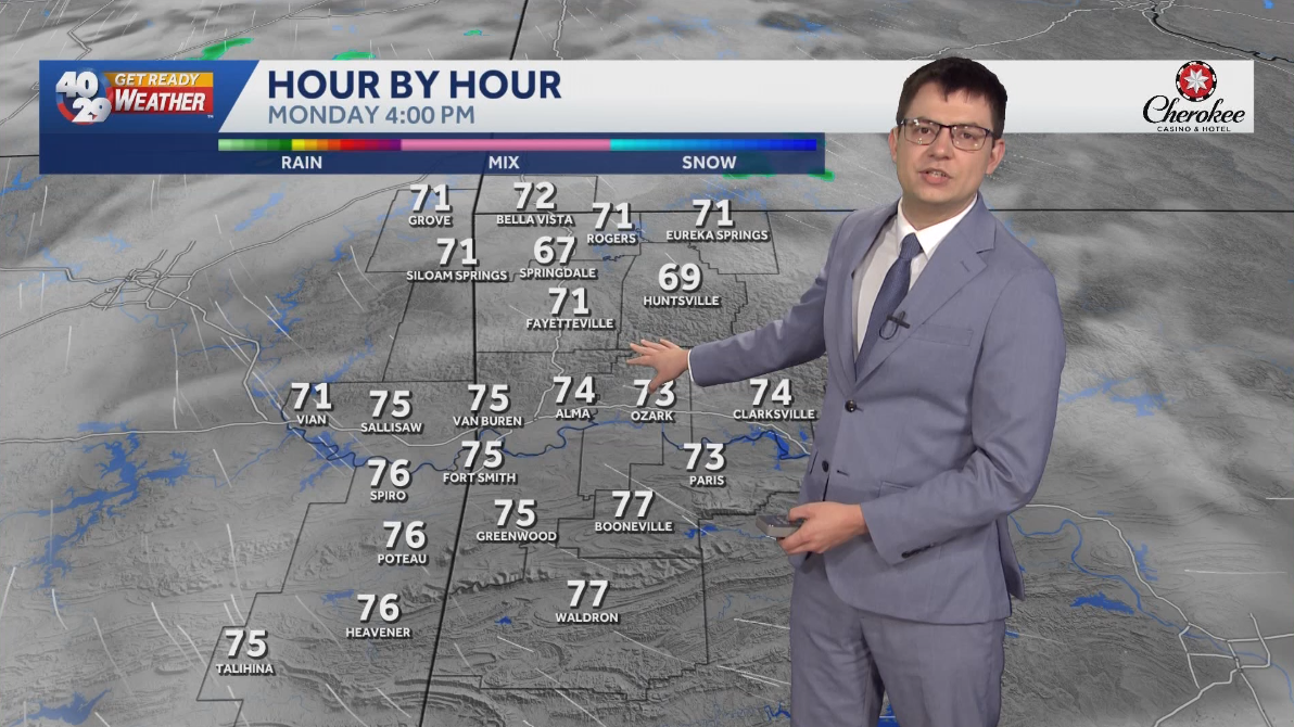 Seasonally warm to start the work week in Arkansas
Morning lows will remain in the 40s over the next few days. Afternoon highs will start to warm back into the 70s early in the work week. High temperatures will warm back into the 80s later in the week. Watch the…
-
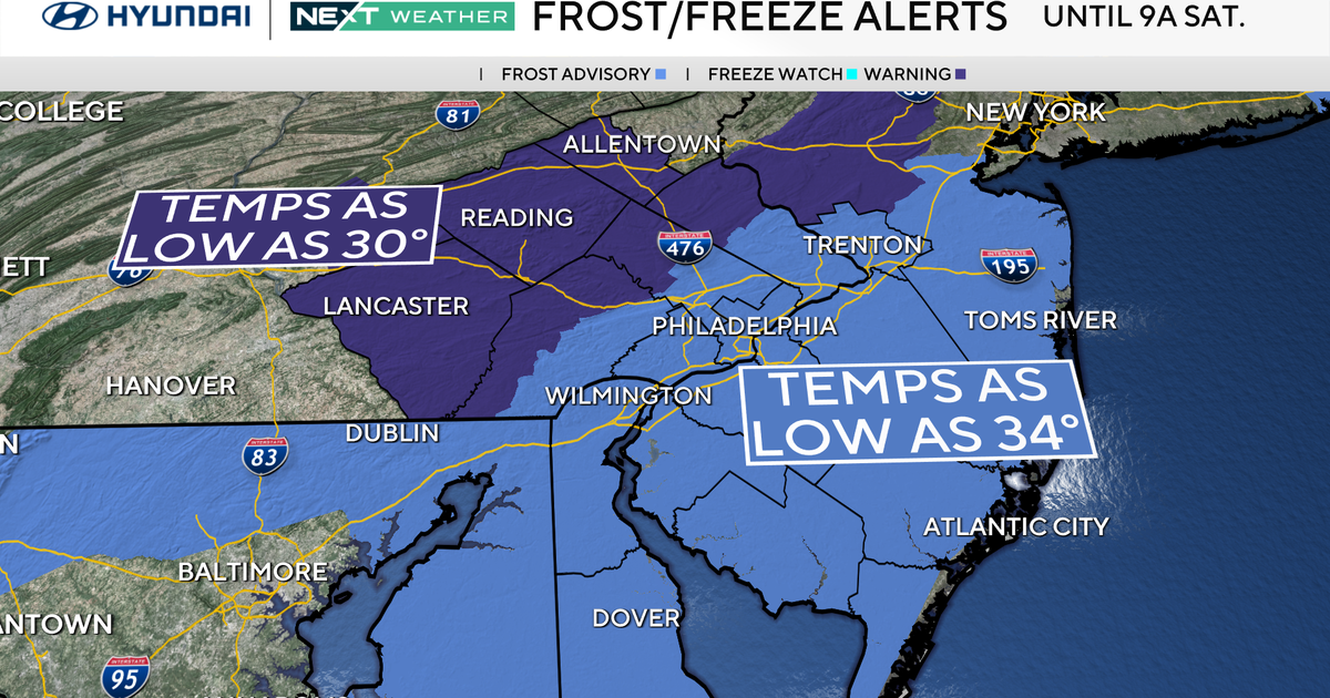 Freeze warning in effect for parts of Philadelphia region as chilly air moves in. Here's the weather forecast.
October 23, 2026 / 11:57 PM EDT / CBS Philadelphia With fall comes some frosty mornings, and that's exactly what's on tap this weekend in the Philadelphia region. Temperatures Saturday morning along the I-95 corridor…
-
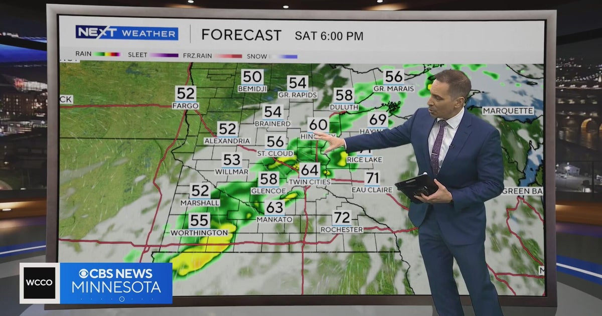 Minnesota weather to feature warm temps Saturday before cooldown | Oct. 23, 2026
CBS News Minnesota is a local news organization that is part of CBS News and Stations. Also referred to as WCCO-TV and channel 4, CBS News Minnesota offers local breaking news, weather coverage and investigative…
-
 Second storm to hit UK with more wind and rain as thousands remain without power
Rough sea along the Dorset coastline on Friday A second storm in as many days is set to batter parts of the UK, as thousands remain without power following powerful winds and heavy rain on Friday. Storm Boelo is…
-
 Before you crank up the thermostat, try these tips to keep your house warmer for longer
As the UK braces for a chilly weekend, with powerful winds and heavy rain hitting parts of the country, people are looking for ways to bring some warmth to their homes without cranking up the heating just yet. It is…
-
 Thunderstorms, heavy rain and flash flooding predicted for much of Australia
Parts of Queensland, Victoria and South Australia can expect severe storms on Saturday, moving into NSW and Tasmania by Sunday Severe thunderstorms and heavy rain will sweep across most Australian states this weekend…
-
 Fall weather in full force across Georgia this weekend
CBS News Atlanta is a local news organization that is part of CBS News and Stations. Also referred to as WUPA and channel 69, CBS News Atlanta offers local breaking news, weather coverage and investigative reporting…
Air quality
Acceptable. Unusually sensitive people should consider limiting prolonged outdoor exertion.
Forecast
- SatModerate (100)
- SunModerate (70)
Little Rock-North Little Rock, AR reporting area · 1 hr ago. Data from AirNow (EPA and its state, local and tribal partners); preliminary and subject to change.
Sun & moon
Almanac
MonthlyStuttgart Municipal Airport, records since 2009. Normals 1991–2020. Data from NOAA's Regional Climate Centers (ACIS).
Nearby
- Little Rock 50 km
- North Little Rock 48 km
- Sherwood 44 km
- Jacksonville 34 km
- Cabot 33 km
- Searcy 52 km
- Stuttgart 36 km
- Beebe 34 km
- Ward 33 km
- Vilonia 54 km
- Lonoke 14 km
- Landmark 56 km
Forecasters' discussion
From the National Weather Service office in LZK, issued 18 hrs ago
Key Messages
Issued at 222 AM CDT Fri Oct 23 2026
-Near-normal to above-normal temperatures will persist through this weekend.
-No appreciable rainfall is expected through the forecast period with drought conditions persisting.
-Low afternoon relative humidity values and drying fuels will contribute to daily elevated fire danger concerns through the weekend.
Discussion
Issued at 222 AM CDT Fri Oct 23 2026
Once again, no significant changes to note w/ the new fcst update... Latest objective analysis depicted highly amplified H500 flow acrs the CONUS, w/ persistent deep troughing over the Wrn US and Sierra Nevada, and ridging acrs the Cntrl US. This persistent ridging wl continue to drive warm and settled weather for the region into next week, w/ daily high temps in the upper 70s to low 80s, lows in the upper 40s to low 50s, and unfortunately, no appreciable rainfall for the next seven days.
Daily fire danger will persist, fostered by antecedent drought conditions, a lack of forecast rainfall, and drying ground fuels (noted by fcst ERC values >90th percentile over portions of Srn AR).
Early next week, the aforementioned west coast trof wl slowly translate Ewrd over the Four Corners and Cont Divide by Mon, weakening as it does so. Locally, the center of the upper level high wl also shift Ewrd, positioning SWrly H500 flow acrs the Srn Great Plains. At most, this may drive some increasing low-level cloud cover over the FA thru the early portion of next week, and bring some slightly cooler temperatures.
Late next week, there are considerable differences amongst global guidance solns, particularly w/ the evolution of a Pacific NW shortwave trof, set to come ashore on Mon, and progress Ewrd over the Cntrl Plains by mid to late week. At the sfc, a cdfrnt is progged to move into the Srn US late in the week, but there is low confidence on the timing and evolution of this feature, and how much precip wl be possible... if any. For now, base blended guidance reflects low chance PoPs/QPF for portions of the state by Fri, but this is lkly to change over the next few days.
Aviation
(12Z TAFS) Issued at 636 AM CDT Fri Oct 23 2026
VFR condns wl prevail thru the PD, w/ winds becoming E-SErly thru the day Fri. No other sig impacts are anticipated.
Preliminary Point Temps
Batesville AR 80 48 80 49 / 0 0 0 0 Camden AR 84 48 84 48 / 0 0 0 0 Harrison AR 78 50 79 52 / 0 0 0 0 Hot Springs AR 82 50 83 50 / 0 0 0 0 Little Rock AR 82 51 82 53 / 0 0 0 0 Monticello AR 82 50 82 51 / 0 0 0 0 Mount Ida AR 82 47 83 47 / 0 0 0 0 Mountain Home AR 77 49 77 50 / 0 0 0 0 Newport AR 81 49 81 51 / 0 0 0 0 Pine Bluff AR 82 49 83 50 / 0 0 0 0 Russellville AR 81 51 81 51 / 0 0 0 0 Searcy AR 81 48 81 49 / 0 0 0 0 Stuttgart AR 82 50 82 51 / 0 0 0 0
Forecasts, observations and alerts in the United States come from the National Weather Service (NOAA); radar from NOAA's Multi-Radar Multi-Sensor system; satellite imagery from NASA's Global Imagery Browse Services (GIBS) and NOAA's GOES satellites; the map from the U.S. Geological Survey's National Map; air quality from AirNow (EPA and its partners); hurricane information from the National Hurricane Center; climate normals and records from NOAA's Regional Climate Centers (ACIS). Forecasts outside the United States and the UV index: MET Norway (CC BY 4.0); observations outside the U.S.: airport reports via NOAA's Aviation Weather Center. Place names: GeoNames (CC BY 4.0). Data are copied on a schedule and may lag the sources; for warnings that affect your safety, follow your local National Weather Service office and emergency officials. Weather news is drawn from the 4Search index and reflects what the press published. Terms of use.