Install
Sitka, AK Weather
Current conditions
Observed at Sitka - Sitka Airport · 37 min ago
Forecast
10-day-
Tonight
Showers and thunderstorms. Cloudy, with a low around 36. South wind 5 to 10 mph. Chance of precipitation is 90%. New rainfall amounts between a quarter and half of an inch possible.
-
Thursday
Showers and thunderstorms. Cloudy, with a high near 47. South wind around 5 mph. Chance of precipitation is 90%. New rainfall amounts between a quarter and half of an inch possible.
-
Thursday Night
Rain showers likely before 4am, then a chance of rain showers and patchy fog. Mostly cloudy, with a low around 37. Southeast wind around 5 mph. Chance of precipitation is 60%. New rainfall amounts between a tenth and quarter of an inch possible.
National Weather Service forecast updated 5 hrs ago.
Hourly
Hourly forecast- Now41°70%
- 9 PM41°70%
- 10 PM40°87%
- 11 PM40°87%
- Thu12 AM39°87%
- 1 AM39°87%
- 2 AM38°87%
- 3 AM38°87%
- 4 AM37°77%
- 5 AM36°77%
- 6 AM36°77%
- 7 AM36°85%
- 8 AM37°85%
- 9 AM38°85%
- 10 AM40°67%
- 11 AM42°67%
- 12 PM44°67%
- 1 PM45°86%
- 2 PM46°86%
- 3 PM45°86%
- 4 PM45°62%
- 5 PM45°62%
- 6 PM42°62%
- 7 PM41°58%
10-day forecast
Details- TonightOct 21Showers And Thunderstorms87%36°
- ThuOct 22Showers And Thunderstorms86%37°47°
- FriOct 23Chance Rain Showers then Mostly Sunny29%36°47°
- SatOct 24Sunny37°49°
- SunOct 25Mostly Sunny14%38°49°
- MonOct 26Mostly Cloudy15%39°49°
- TueOct 27Slight Chance Light Rain16%39°51°
- WedOct 28Slight Chance Light Rain then Partly Sunny16%51°
- ThuOct 29Mostly sunny40°56°
- FriOct 30Cloudy0.06 in42°47°
Days after the National Weather Service's seven are MET Norway's outlook, a computer model with no forecaster's review.
Radar
Full mapWeather news near Sitka
More weather news-
 Flooding and landslide risk climbs in Southeast as rain and wind ramp up through Thursday
Alaska's News Source ANCHORAGE, AK (Alaska’s News Source) - An atmospheric river has set up camp over Southeast and is expected to bring the heaviest rainfall and strongest winds through Thursday. This storm is not only…
-
 Alaska’s Southern Coastline begins to quiet down while midweek storm brews
Today's Alaska weather forecast from Alaska's Weather Source. ANCHORAGE, AK (Alaska’s News Source) - While some cloud cover lingers across Southcentral, coastal locations will continue to collect rain totals. Shower…
-
 Don’t hibernate: How to get outside in Alaska safely after snowfall
ANCHORAGE, Alaska (KTUU) - Mid-October marks a seasonal shift in Anchorage, with snow appearing on nearby mountains and daylight hours shrinking. A local hiking guide and a cardiologist are offering guidance on how to…
-
 First Alert: Significant winter weather headed for Alaska Tuesday
Alaska's News Source First Alert: Significant winter weather headed for Alaska Tuesday Heavy rain tapers off for Southeast, with scattered showers into the weekend Storm impacts begin to wind down in Southeast, but…
-
 Numerous winter weather alerts as heavy snow moves through Southcentral and Interior Alaska
Winter weather alerts have been issued across Southcentral through midweek, with the greatest snowfall potential expected in the Northern Susitna Valley, Copper River Basin, Thompson Pass and the Anchorage and Eagle…
-
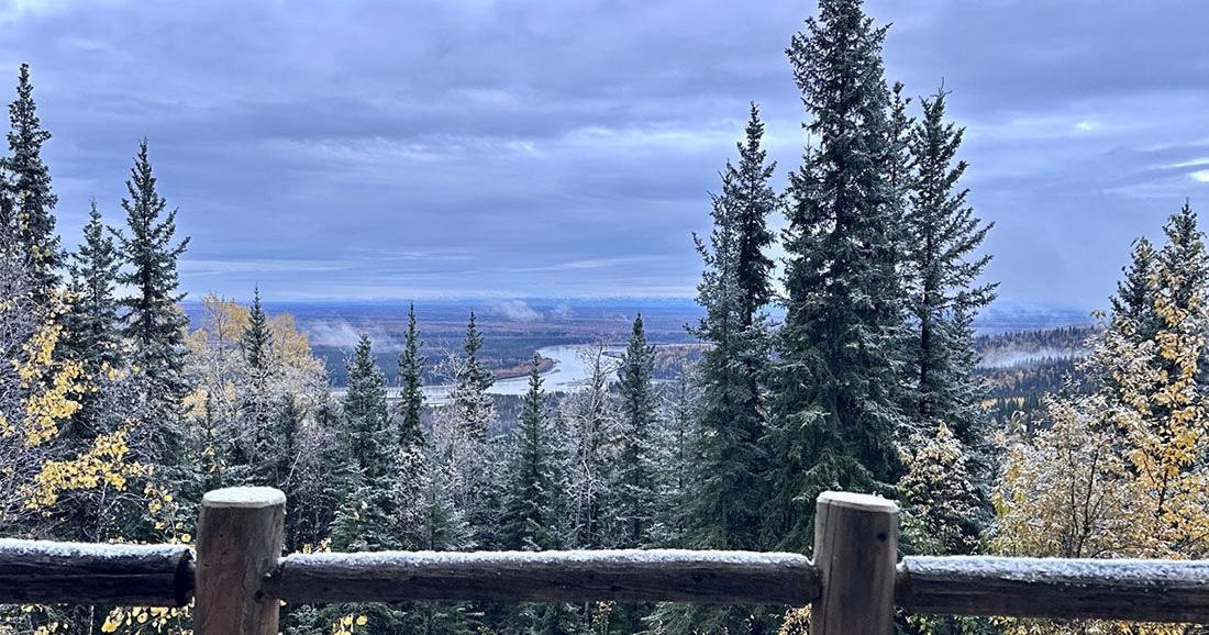 Winter storm could bring significant snow to Interior Alaska
The first snow of 2025 arrived on Sept. 23. Fairbanks and the eastern Interior could see several inches of snow Tuesday morning through Wednesday as the season’s first major winter weather system pushes into the area. A…
-
 Alaska Winter Storm Warning: Fairbanks Region Braces for Up to 30 Inches of Snow and Winds Reaching 65 MPH as NWS Expands Weather Alerts – Check Latest Forecast
Winter Storm Watch: Winter weather is set to make travel difficult across parts of Alaska this week, with the National Weather Service (NWS) warning of heavy snowfall, powerful winds and reduced visibility. The eastern…
-
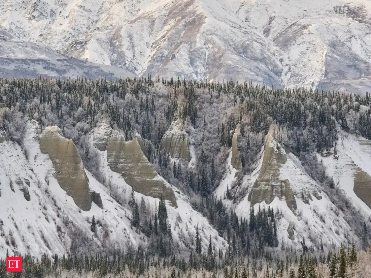 Alaska winter storm: Warning issued for heavy snow, several areas to get up to 30 inches of snow, 65 mph winds this week
A Winter Storm Warning has been issued for Fairbanks, Alaska, by the National Weather Service, predicting heavy snowfall and fierce winds. The eastern Alaska Range may witness up to 24 inches of snow coupled with gusts…
-
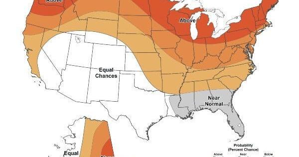 Warmer-than-average temperatures are favored for northern California, the Pacific Northwest, Midwest, Mississippi Valley, much of the East, Alaska and for Puerto Rico / U.S. Virgin Islands.
The Lufkin Daily News Warmer-than-average temperatures are favored for northern California, the Pacific Northwest, Midwest, Mississippi Valley, much of the East, Alaska and for Puerto Rico / U.S. Virgin Islands. - Woman…
Sun & moon
Almanac
MonthlySitka Airport, records since 1944. Normals 1991–2020. Data from NOAA's Regional Climate Centers (ACIS).
Forecasters' discussion
From the National Weather Service office in AJK, issued 16 hrs ago
Synopsis
Key Messages:
- Onshore flow lasting will keep rain showers across the panhandle until Thursday before rain chances diminish and bring a drier trend going into the end of the week.
- Clearing skies and cooling trend to start out the weekend, with overnight temperatures dipping down into the low to mid 30s, and the northern panhandle possibly getting down into the upper 20s.
Long Term
/Friday through Sunday/... Benign days are ahead compared to the last week of strong systems for the panhandle. Friday sees the low pressure currently in the northern gulf finally fill completely, with another system moving up from the southwest. Not expecting this system to reach the southern panhandle fully, only expecting the extreme southern portion to be clipped by some moisture Saturday going into Sunday. Otherwise, expect to start out with mostly a cool trend, with overnight temperatures dipping down into the low to mid 30s, and the northern panhandle possibly getting down into the upper 20s. Could see some northerly winds increase out of Lynn Canal, but uncertainty in low strength and has lead to less winds for now.
Aviation
/through Thursday morning/
Remnants of strong front form yesterday continue to depart SE out of the AOR, leaving predominate VFR flight conditions in its wake with CIGS generally AoA 4000ft and unrestricted visbys. Behind the front, moving into a showery regime with hit or miss rain showers expected to impact the SEAK terminals through the TAF period as a low in the NE Gulf transits SE-ward and weakens through Wednesday night/early Thursday morning. With this regime, expect VFR flight conditions to prevail through the period, with likely reduced visibilities down to 2 to 4SM and gusty winds within any passing shower. Not seeing much lightning activity this morning, however could still see the occasional strike across the NE Gulf from Yakutat to Sitka, although high forecast confidence not as dense in coverage or intensity as yesterday. No LLWS expected through the TAF period. Winds remain around 10 kts or less through the day, outside of Skagway and Haines which will continue to see slightly stronger winds around 15 kts with gusts up to 25 kts possible into the afternoon before all terminal winds diminish overnight to near calm and variable after 09z Thursday.
Marine
Outside (Gulf and Coastal Waters): Conditions over the Gulf and outer coastal waters this morning continue to trend down for winds. Buoy observations show most places getting down to 20 kt or less with a few reporting less than 10 kt. The low pressure located near Prince William Sound will continue to bring onshore flow and showers for the next few days before weakening. Some of these showers could have a few rumbles of thunder but are not expected to be too significant. Main concern for the coastal and Gulf waters will be the elevated seas that are expected to continue for the next few days. WSW swell will continue to bring elevated seas before the swell influence decreases Thursday afternoon and we see wave heights start to diminish. Until then, seas are expected to be closer to 10 to 14 ft for today.
Inside (Inner Channels): Winds in the Inner channels this morning have dissipated significantly with most places down to 15 kt or less. A few places still are holding out with some 20 kt sustained winds that might persist through the day today. Otherwise, winds will continue to be on a downward trend for the next few days as the low currently located over Prince William Sound continues to weaken before high pressure builds in the Interior. With high pressure setting up in the Interior for the end of the week, offshore flow is expected to develop. At this time, wind speeds are not expected to be significant but this could change if a low pressure does pass south of the area for the weekend.
Forecasts, observations and alerts in the United States come from the National Weather Service (NOAA); radar from NOAA's Multi-Radar Multi-Sensor system; satellite imagery from NASA's Global Imagery Browse Services (GIBS) and NOAA's GOES satellites; the map from the U.S. Geological Survey's National Map; air quality from AirNow (EPA and its partners); hurricane information from the National Hurricane Center; climate normals and records from NOAA's Regional Climate Centers (ACIS). Forecasts outside the United States and the UV index: MET Norway (CC BY 4.0); observations outside the U.S.: airport reports via NOAA's Aviation Weather Center. Place names: GeoNames (CC BY 4.0). Data are copied on a schedule and may lag the sources; for warnings that affect your safety, follow your local National Weather Service office and emergency officials. Weather news is drawn from the 4Search index and reflects what the press published. Terms of use.