Install
Toppenish, WA 98948 Weather
Current conditions
Forecast for this hour (no station report in the last two hours)
Forecast
10-day-
Today
Sunny, with a high near 70. Southeast wind around 2 mph.
-
Tonight
Mostly clear, with a low around 39. North wind around 1 mph.
-
Thursday
Partly sunny, with a high near 68. West wind around 2 mph.
National Weather Service forecast updated 2 hrs ago.
Hourly
Hourly forecast- Now63°
- 2 PM66°
- 3 PM68°
- 4 PM68°
- 5 PM69°
- 6 PM65°
- 7 PM61°
- 8 PM53°
- 9 PM51°
- 10 PM49°
- 11 PM47°
- Thu12 AM46°
- 1 AM45°
- 2 AM43°
- 3 AM42°
- 4 AM40°
- 5 AM40°
- 6 AM39°
- 7 AM38°
- 8 AM40°
- 9 AM44°
- 10 AM54°
- 11 AM57°
- 12 PM59°
Daily forecast
Details- TodayOct 21Sunny39°70°
- ThuOct 22Partly Sunny13%38°68°
- FriOct 23Sunny31°66°
- SatOct 24Widespread Frost then Mostly Sunny20%34°60°
- SunOct 25Slight Chance Rain Showers30%33°59°
- MonOct 26Mostly Sunny13%32°59°
- TueOct 27Slight Chance Rain Showers15%32°59°
- WedOct 28Mostly sunny39°60°
- ThuOct 29Cloudy38°60°
Days after the National Weather Service's seven are MET Norway's outlook, a computer model with no forecaster's review.
Radar
Full mapWeather news in Washington
More weather news-
 Week Ahead in Washington: Week of October 18
KY3 Week Ahead in Washington: Week of October 18 Woman kills husband, 3-year-old son at Great Wolf Lodge, police say Firefighters warn carbon monoxide alarms save lives as cold weather increases heating use Missouri Fan…
-
 Washington-Kyiv Rift Deepens as Zelensky Feels “Betrayed”
Jordan News Washington-Kyiv Rift Deepens as Zelensky Feels “Betrayed”
-
 Washington DC weather forecast: Rain today, sunny skies and warming trends ahead
The Times of India Washington DC, October 17, 2026 This morning, residents can expect a little rain, leading into a windy and cooler day The high temperature is forecasted to reach 14°C, with a noticeable drop tonight…
-
 Maclane Westbrook - Mt. Washington, New Hampshire
KPVI There was a problem reporting this. Keep it Clean. Please avoid obscene, vulgar, lewd, racist or sexually-oriented language. Poll: Inflation tops voter concerns, national debt near the bottom 15 vintage dishes that…
-
 Freeze warning across Washington County, WI brings hope for whitetail deer battling EHD
The National Weather Service has issued a freeze warning from 1 a.m. to 9 a.m. Saturday, with temperatures expected to drop as low as 28 degrees in portions of east central, south central and southeastern Wisconsin…
-
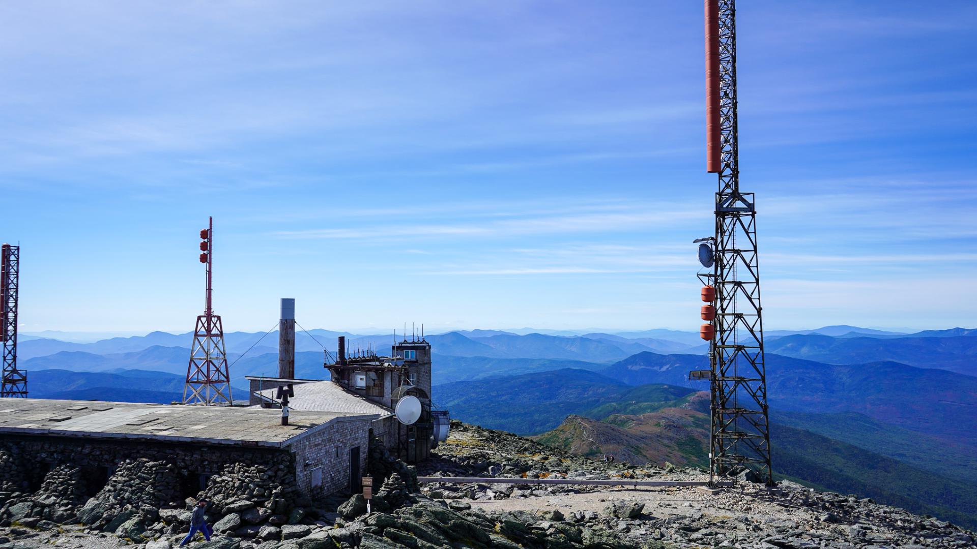 How Mount Washington's weather observatory helps forecast New England's wild weather
Their destination was the summit of Mount Washington, the Northeast's highest peak and home to one of the country's most famous weather observatories. Visitors lined up at the base of the Auto Road for the winding drive…
-
 Severe Thunderstorm Watch: Washington DC, Maryland And Northern Virginia Face Threat Of Damaging Winds And Heavy Rain; Check Affected Areas And Forecast Timing
Zaini is Editor at The Sunday Guardian. She focuses on geopolitics, defence, international affairs, and breaking news coverage. She has worked in fast-paced newsrooms, including WION, Republic Media Network, India Today…
-
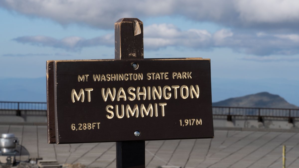 Mt. Washington's summit visitor center has closed for the season
The Mt. Washington State Park summit visitor center is closed for the season as forecasts show snowy, windy conditions. As the highest peak in New England, Mt. Washington sees wintry conditions earlier than much of the…
-
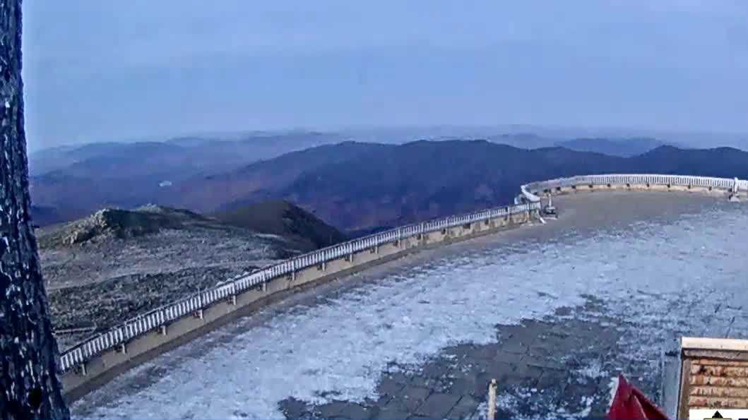 Mount Washington State Park closes facilities for the season
Mount Washington State Park and the summit facilities are closed for the season as of Thursday night. There will be no shelters, services or amenities available for anyone hiking the mountain due to snow and high winds…
-
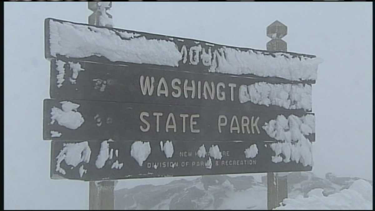 Mount Washington State Park closes for the season as snow, ice and high winds approach
Hikers need to be prepared. Mount Washington State Park and its summit facilities will close for the season as snow, ice, freezing rain and powerful winds move into New Hampshire’s White Mountains. Park officials…
Air quality
Acceptable. Unusually sensitive people should consider limiting prolonged outdoor exertion.
Confederated Tribes and Bands of Yakama Nations, WA reporting area · 1 hr ago. Data from AirNow (EPA and its state, local and tribal partners); preliminary and subject to change.
Sun & moon
Almanac
MonthlyYakima Area, records since 1946. Normals 1991–2020. Data from NOAA's Regional Climate Centers (ACIS).
Nearby
Forecasters' discussion
From the National Weather Service office in PDT, issued 3 hrs ago
Key Messages
- Above normal temperatures and dry conditions Today
- Return of showers and isolated thunderstorms to the eastern mountains Thursday, with breezy conditions in the lower elevations Thursday and Friday
- Moderate to High confidence (60-90%) in freezing morning temperatures Saturday
Discussion
An upper low continues spinning off of the central CA coast, with ridging across the Interior Northwest. As a result, clouds remain high across the central and eastern Oregon counties, with more sun across the Washington zones. Today will be the warmest afternoon across the broader area, and for all elevations, reaching the mid/upper 60s again over the Columbia Basin and Kittitas/Yakima Valleys, to the low/mid 70s across central Oregon/Grande Ronde Valley/John Day Basin. Another day of light and diurnally and terrain driven winds for all zones.
The next weather system will impact the winds due to pressure gradients across the Cascade gaps/Columbia River Gorge. NBM ensemble members show a range of about 50 to 75 percent offering wind advisory level , 39 mph or higher gusts Thursday evening. More mid and high cloudiness will be spreading farther north into WA Tonight and though the morning on Thursday. REFs shows light precipitation associated with a weak orographic / deformation band spreading north (southwest to northeast orientation) off the Blue Mountains, and bringing measurable (less than wetting rains) precipitation across the foothills of the Blues and into the lower Columbia Basin/central Oregon though noon. Better forcing/moisture profiles develop later Thursday and Thursday night and cool air aloft acts to increase instability and bump 3-hr QPF means to the 0.10 and locally 0.25 amounts starting mid evening Thursday in the southern Blues, and ending across the Wallowas sometime mid Friday morning.
Following the exit of the amplified trough, colder air will give another opportunity for freezing temperatures over higher populated areas of the Lower Columbia, and Yakima/Kittitas Valley zones that have not had the season ending freeze just yet. This opportunity comes Saturday morning. Blue Mt Foothills and Kittitas valley, including Walla Walla, Pendleton/Ellensburg have around a 90% chance or higher based on NBM probabilities of sub freezing temps. A bit less certainty exists as Yakima to Sunnyside falls in at about a 50 to 60 percent chance for 32 degrees or colder Saturday morning.
Aviation
VFR conditions to prevail through the period. At the very tail end of the period(16-18Z tomorrow), sites PDT/ALW/RDM/BDN may see light rain showers approach the sites. At this time, chances/confidence too low to include in TAF. Winds will be light, 12kts or less, through the period. Lawhorn/82
Pdt Watches
WA...None. OR...None.
Forecasts, observations and alerts in the United States come from the National Weather Service (NOAA); radar from NOAA's Multi-Radar Multi-Sensor system; satellite imagery from NASA's Global Imagery Browse Services (GIBS) and NOAA's GOES satellites; the map from the U.S. Geological Survey's National Map; air quality from AirNow (EPA and its partners); hurricane information from the National Hurricane Center; climate normals and records from NOAA's Regional Climate Centers (ACIS). Forecasts outside the United States and the UV index: MET Norway (CC BY 4.0); observations outside the U.S.: airport reports via NOAA's Aviation Weather Center. Place names: GeoNames (CC BY 4.0). Data are copied on a schedule and may lag the sources; for warnings that affect your safety, follow your local National Weather Service office and emergency officials. Weather news is drawn from the 4Search index and reflects what the press published. Terms of use.