Install
Tacoma, WA 98408 Weather
Current conditions
Forecast for this hour (no station report in the last two hours)
Forecast
10-day-
This Afternoon
Mostly sunny. High near 59, with temperatures falling to around 57 in the afternoon. North wind around 6 mph.
-
Tonight
Mostly cloudy, with a low around 42. East northeast wind 1 to 6 mph.
-
Friday
Mostly sunny. High near 58, with temperatures falling to around 56 in the afternoon. Northeast wind 1 to 5 mph.
National Weather Service forecast updated 4 hrs ago.
Hourly
Hourly forecast- Now59°
- 4 PM58°
- 5 PM57°10%
- 6 PM56°11%
- 7 PM53°11%
- 8 PM52°
- 9 PM51°
- 10 PM50°
- 11 PM49°
- Fri12 AM48°
- 1 AM47°
- 2 AM45°
- 3 AM44°
- 4 AM43°
- 5 AM42°
- 6 AM42°
- 7 AM42°
- 8 AM42°
- 9 AM44°
- 10 AM48°
- 11 AM50°
- 12 PM52°
- 1 PM55°
- 2 PM56°
Daily forecast
Details- TodayOct 22Mostly Sunny11%42°59°
- FriOct 23Mostly Sunny36°58°
- SatOct 24Partly Sunny then Slight Chance Light Rain46%41°56°
- SunOct 25Chance Light Rain51%41°58°
- MonOct 26Slight Chance Light Rain24%40°59°
- TueOct 27Partly Sunny14%40°59°
- WedOct 28Partly Sunny14%39°58°
- ThuOct 29Mostly sunny40°61°
- FriOct 30Mostly sunny40°61°
Days after the National Weather Service's seven are MET Norway's outlook, a computer model with no forecaster's review.
Radar
Full mapWeather news near Tacoma
More weather news-
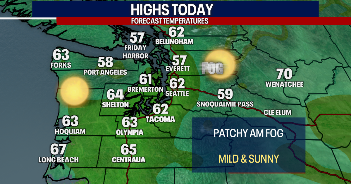 Seattle weather: Sunny and mild to start this week, dry weather ahead
FOX 13 Seattle Meteorologist Claire Anderson has your latest western Washington weather forecast. Nice and dry weather throughout this week with plenty of sunshine. Tuesday will be another mild day with highs in the low…
-
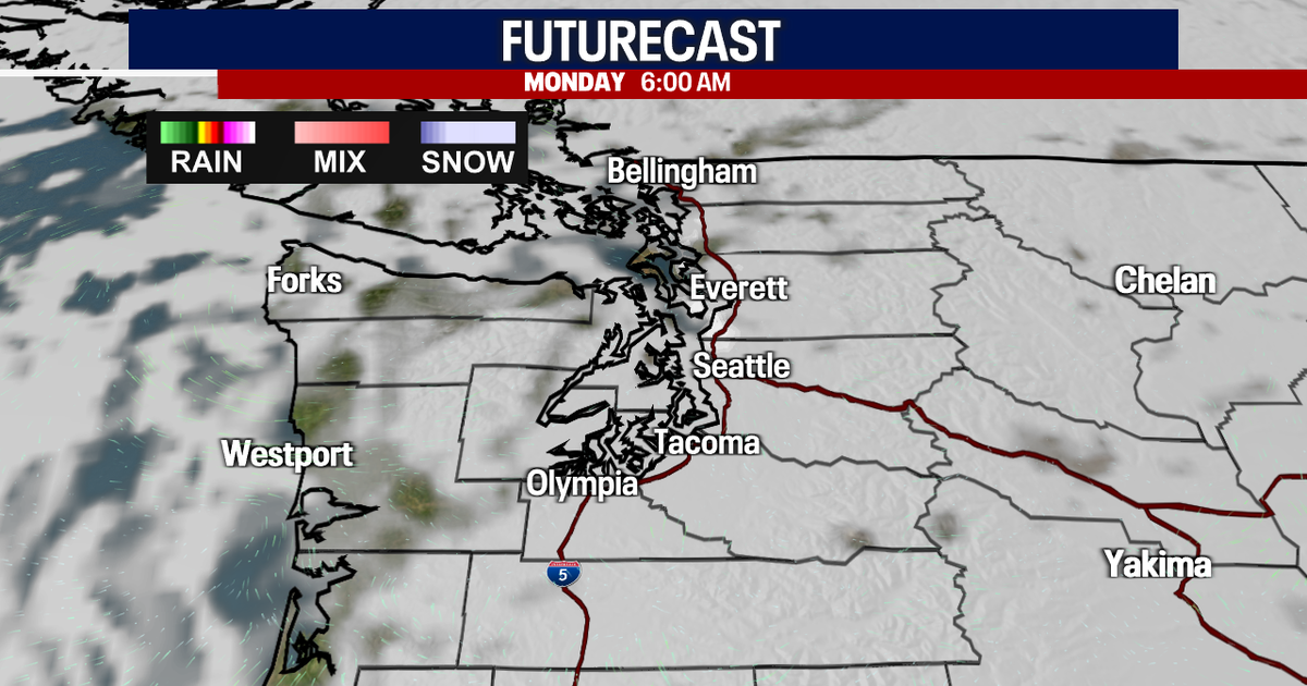 Sunny Sunday, clouds move in Monday
FOX 13 reporter Jennifer Dowling has your seven day forecast Seattle - Sunday’s foggy conditions in low-lying areas were gone by late morning, giving way to mostly sunny skies. Sunday's high temperatures will hit close…
- Frost advisory for North Clark County Lowlands and South Cascades for Sunday
Tacoma News Tribune The creation of this content included the use of AI based on templates created, reviewed and edited by journalists in the newsroom. Read more on our AI policy here. At 5:21 p.m. on Saturday, the NWS…
-
 Washington DC weather forecast: Sunny autumn day with highs of 22°C and no rain
Washington DC, October 22, 2026. Today, residents can expect a delightful day characterized by plenty of sunshine, with maximum temperatures reaching around 22°C and a comfortable minimum of 9°C. Washington DC, October…
-
 Enjoy a sunny day in Washington DC with temperatures reaching 21°C and no rain forecasted
The Times of India Today, in Washington DC, residents can expect a day filled with plenty of sunshine The temperature is likely to peak at a comfortable 21°C while dipping to a cooler 6°C at night With no chance of…
-
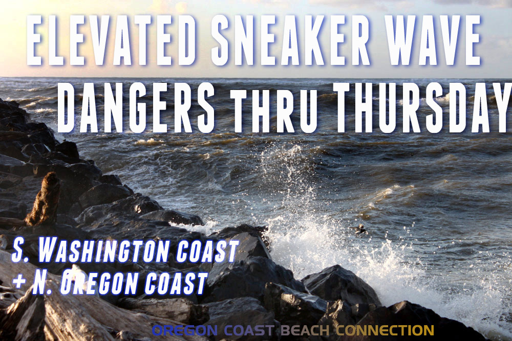 Elevated Sneaker Wave Threat Along N. Oregon Coast, S. Washington Coast
Published 10/20/2026 at 7:55 p.m. By Oregon Coast Beach Connection Staff (Waldport, Oregon) – The National Weather Service (NWS) is saying there is an increased threat of sneaker waves on the northern half of the Oregon…
-
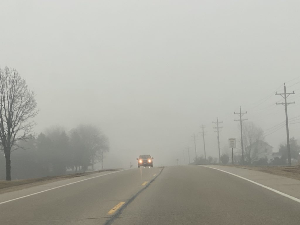 Dense fog advisory until 8 a.m. in Washington and surrounding counties
October 20, 2026 – Headlights are a must this morning as dense fog blankets Washington County and surrounding communities. My grandmother would say “it’s thick as pea soup.” What was your grandma’s saying for foggy…
-
 Week Ahead in Washington: Week of October 18
KY3 Week Ahead in Washington: Week of October 18 Woman kills husband, 3-year-old son at Great Wolf Lodge, police say Firefighters warn carbon monoxide alarms save lives as cold weather increases heating use Missouri Fan…
-
 Washington-Kyiv Rift Deepens as Zelensky Feels “Betrayed”
Jordan News Washington-Kyiv Rift Deepens as Zelensky Feels “Betrayed”
-
 Washington DC weather forecast: Rain today, sunny skies and warming trends ahead
The Times of India Washington DC, October 17, 2026 This morning, residents can expect a little rain, leading into a windy and cooler day The high temperature is forecasted to reach 14°C, with a noticeable drop tonight…
Air quality
Acceptable. Unusually sensitive people should consider limiting prolonged outdoor exertion.
Forecast
- ThuGood (33)
- FriGood (33)
- SatGood (33)
Tacoma-Puyallup, WA reporting area · 1 hr ago. Data from AirNow (EPA and its state, local and tribal partners); preliminary and subject to change.
Sun & moon
Almanac
MonthlySeattle Tacoma Area, records since 1945. Normals 1991–2020. Data from NOAA's Regional Climate Centers (ACIS).
Nearby
Forecasters' discussion
From the National Weather Service office in SEW, issued 6 hrs ago
Synopsis
A dissipating frontal system will spread some clouds across Western Washington today along with cooler temperatures. High pressure briefly rebuilds into the region on Friday before an area of low pressure brings a chance of rain to the area over the weekend into early next week. Dry conditions return areawide by the middle of next week.
Short Term
No major updates have been made to the forecast. Please see below for an update to the aviation and marine sections of the discussion.
A weak front will fall apart as it comes ashore today. We'll see a few clouds and cooler temperatures today, but that'll be about the extent of it. High pressure briefly rebuilds into the area on Friday for a little more in the way of sunshine, but cooler temperatures (really, just more seasonal) will remain in place.
Forecast uncertainty starts to ramp later Saturday and beyond. Anomalously strong upper ridging building into southeastern Alaska over the weekend will aid in cutting off an upper low sliding southward down the British Columbia coast. And the models continue to really struggle with the path of the low. In a general sense, the ECMWF suite of ensembles are more aggressive with bringing some precip to the area and the GFS less so. The NBM is something of a compromise and spreads at least a chance of rain to the northwest half of the CWA by Saturday evening.
Long Term
Most of the forecast area retains at least chance PoPs Sunday into Monday as the models keep an upper trough over the region before eventually kicking it eastward. Beyond that, eerily quiet conditions are slated to return. Ensemble 500 millibar height plots from the Euro, GFS, and Canadian at days 6 through 8 keep anomalously strong upper ridging over the Gulf of Alaska and broad troughing just offshore of California. That's a recipe for a pretty quiet period of weather here in Western Washington.
27
Aviation
Areas of IFR to LIFR this morning in lingering fog, with some areas along the central Puget Sound maintaining VFR conditions out of the low stratus and fog. A weak frontal system will bring light showers to the region this morning, with persisting northerly winds 10 kt or less. Conditions will likely improve by the afternoon today after the weak frontal passage, with all terminals expected to return to VFR between 18z-21z. Models suggest MVFR to low end VFR ceilings may linger south and east of the Puget Sound this afternoon, though confidence is low with dry northerly flow. Calm conditions overnight will likely result in another round of MVFR to IFR/localized LIFR in low stratus and fog development early Friday morning. Surface winds early Friday morning expected to shift southeasterly, switching back to northerly Friday afternoon.
KSEA...VFR with a FEW002 cloud deck floating near the terminal. Conditions are expected to remain VFR this morning and into the afternoon. Low end VFR ceilings (4000-5000 feet) may linger after the passage of a weak frontal system this afternoon, though with dry northerly flow, this may not materialize. Surface winds generally northerly around 10 kt today, lightening overnight and switching southeasterly early Friday morning. Fog potential remains low early Friday morning with VFR conditions favored for now.
15
Forecasts, observations and alerts in the United States come from the National Weather Service (NOAA); radar from NOAA's Multi-Radar Multi-Sensor system; satellite imagery from NASA's Global Imagery Browse Services (GIBS) and NOAA's GOES satellites; the map from the U.S. Geological Survey's National Map; air quality from AirNow (EPA and its partners); hurricane information from the National Hurricane Center; climate normals and records from NOAA's Regional Climate Centers (ACIS). Forecasts outside the United States and the UV index: MET Norway (CC BY 4.0); observations outside the U.S.: airport reports via NOAA's Aviation Weather Center. Place names: GeoNames (CC BY 4.0). Data are copied on a schedule and may lag the sources; for warnings that affect your safety, follow your local National Weather Service office and emergency officials. Weather news is drawn from the 4Search index and reflects what the press published. Terms of use.