Install
Silverdale, WA 98315 Weather
Current conditions
Observed at EW0123 Bainbridge Island WA US · 1 hr ago
Forecast
10-day-
Tonight
Mostly cloudy, with a low around 44. East northeast wind 0 to 3 mph.
-
Thursday
A slight chance of rain after 5pm. Partly sunny. High near 58, with temperatures falling to around 55 in the afternoon. North wind 1 to 5 mph. Chance of precipitation is 20%.
-
Thursday Night
A slight chance of rain between 8pm and 10pm. Mostly cloudy, with a low around 42. Northwest wind 1 to 5 mph. Chance of precipitation is 20%.
National Weather Service forecast updated 11 hrs ago.
Hourly
Hourly forecast- Now50°
- 11 PM49°
- Thu12 AM48°
- 1 AM47°
- 2 AM47°
- 3 AM46°
- 4 AM45°
- 5 AM45°
- 6 AM44°
- 7 AM44°
- 8 AM44°
- 9 AM46°
- 10 AM49°
- 11 AM52°
- 12 PM55°
- 1 PM56°
- 2 PM57°
- 3 PM57°
- 4 PM56°
- 5 PM55°17%
- 6 PM54°10%
- 7 PM51°13%
- 8 PM50°19%
- 9 PM48°15%
10-day forecast
Details- TodayOct 21Mostly Sunny44°64°
- ThuOct 22Partly Sunny then Slight Chance Light Rain19%42°58°
- FriOct 23Mostly Sunny40°56°
- SatOct 24Light Rain Likely64%44°52°
- SunOct 25Chance Light Rain53%43°56°
- MonOct 26Chance Light Rain26%43°56°
- TueOct 27Slight Chance Light Rain21%42°55°
- WedOct 28Cloudy46°58°
- ThuOct 29Cloudy47°61°
- FriOct 30Cloudy45°60°
Days after the National Weather Service's seven are MET Norway's outlook, a computer model with no forecaster's review.
Radar
Full mapWeather news near Silverdale
More weather news-
 Seattle Kraken
Fairbanks Daily News-Miner "Let's look back at some of our history together." David Underwood of Fairbanks captured this autumn tableau, titling it âTreebeard eying my fall pumpkin harvest.â - Winter storm could…
-
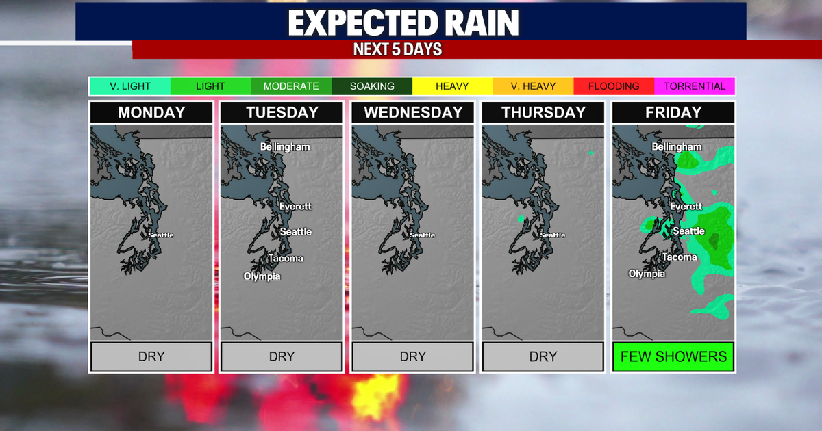 Seattle weather: Morning fog, afternoon sun through Wednesday
Seattle weather: Morning clouds in the low 60s Monday SEATTLE - Western Washington is heading into a stretch of quiet fall weather this week, with plenty of sunshine in the mix over the next few days. High clouds are…
-
 TRAFFIC, WEATHER, TRANSIT: Tuesday notes
6:03 AM: Good morning! Welcome to Tuesday, October 20, 2026. Sunny, high near 60. Sunrise will be at 7:35 am today, with sunset at 6:11 pm. Washington State Ferries – The Triangle Route is now on the two-boat schedule…
-
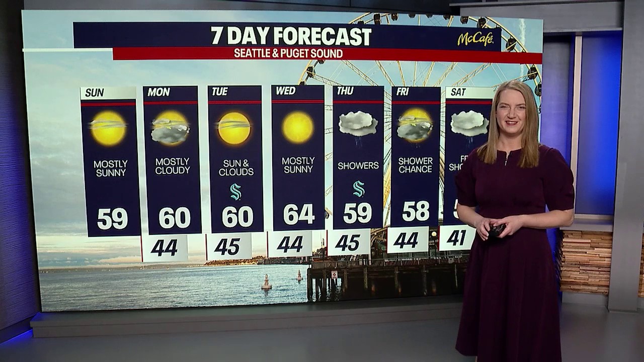 Seattle weather: cooler temps and sunshine returns
FOX 13 Seattle FOX 13 reporter Jennifer Dowling has your seven day forecast
- Hurricane Trudy lashes Mexico’s Pacific coast with heavy rain and strong winds - The Seattle Times
Hurricane Trudy lashes Mexico’s Pacific coast with heavy rain and strong winds The Seattle Times
- Wisconsin Winter 2026-27: Milwaukee, 55.8-Inch Snow History
NOAA historical maps covering 1950–2009 show that strong El Niño winters have generally favored below-average snowfall across Wisconsin and the broader Upper Midwest. However, those maps do not establish a comparable…
- El Nino, Sea Level, and Kelvin Waves: Correcting Media Errors
From the Cliff Mass Weather Blog The media recently reported on oceanic Kelvin waves and their connection to El Nino. See samples below. Some of the information is correct; some is problematic or exaggerated (samples…
-
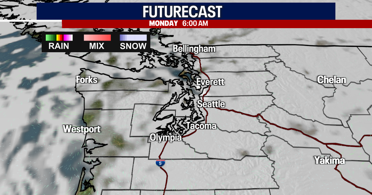 Sunny Sunday, clouds move in Monday
FOX 13 reporter Jennifer Dowling has your seven day forecast Seattle - Sunday’s foggy conditions in low-lying areas were gone by late morning, giving way to mostly sunny skies. Sunday's high temperatures will hit close…
-
 Nice weather continues tomorrow, WA on track to have one of the driest Octobers in history
SEATTLE, Wash. — The forecast for tonight calls for another chilly evening with temperatures dropping down into the 40s by tomorrow morning. The overall picture for Monday looks a lot like it did today. We start off…
-
 Seattle Heat Peaks at 77 Degrees Before Cooler Weather Returns
SuaraGarut.ID Seattle experienced an unusually warm stretch of fall weather as temperatures reached 77 degrees on Friday, October 16, 2026, before a weakening weather system was expected to bring cooler conditions over…
Air quality
Forecast
- WedGood (33)
- ThuGood (33)
- FriGood (33)
Bremerton-Silverdale-Bainbridge Island, WA reporting area · 14 hrs ago. Data from AirNow (EPA and its state, local and tribal partners); preliminary and subject to change.
Sun & moon
Almanac
MonthlyBremerton, records since 1899. Normals 1991–2020. Data from NOAA's Regional Climate Centers (ACIS).
Nearby
Forecasters' discussion
From the National Weather Service office in SEW, issued 8 hrs ago
Synopsis
Dry weather will largely continue for most in western Washington through the end of the week. A weak front moving through Thursday into Friday will have a slight chance of producing isolated showers in the south sound. A more organized upper low will dig south into the Pacific this weekend, chances of showers resuming Saturday through the middle of next week. Snow levels will drop to near 3,000 to 4,000 feet on Saturday, which may lead to some mountain snow showers, along with more widespread lows in the 30s on Saturday morning.
Short Term
A split-flow pattern continues in the upper atmosphere with an upper level low deep into California, and the jet stream still north into Canada. Skies have cleared this afternoon with the only clouds high over the Pacific and north interior. High temperatures today will still warm into the mid and upper 60s (with a couple 70s down south). Cloud coverage increases tonight into Thursday with a weak cold front moving through in the morning. No precipitation is expected when the front passes through in the morning. However, there will be a 20 percent chance of showers with a post-frontal convergence zone in the afternoon for those in the south interior/south sound. Winds will likely increase out of the northwest on the Pacific Coast Thursday night, with gusts to 25 to 35 mph. Cloud coverage will clear Friday afternoon, although high temperatures will be a few degrees cooler (mid to upper 50s). Depending on how long the clear skies are able to hold on Friday night into Saturday morning, there may be instances of lows in the mid 30s for some frost potential (especially down in the south interior).
Long Term
The models/ensembles are still having some trouble coming to an agreement as to how an upper level low/trough will develop and evolve going into this weekend into next week. Most operational runs have the low dropping south into the Pacific (just off the coast), though it becomes more split as to if the low will remain in place, or move out to allow for ridging to build in next week. This uncertainty will keep a chance of precipitation going into the weekend and into next week, with precipitation amounts not expected to produce any significant impacts. The coldest morning again will be on Saturday, with the best chance of frost development, and snow levels dropping briefly to 3,000 to 4,000 ft. Afterwards, temperatures and snow levels are favored to warm/rise slightly (especially if a ridge does indeed build over the region). The Pacific coast may also see another round of breezy winds Sunday, but will otherwise remain light.
HPR
Aviation
An upper level trough will form offshore tonight then shift inland on Thursday. The flow aloft is W to SW. Skies remain VFR this afternoon and evening with increasing high clouds over western WA. The flow will turn onshore with the front moving in on Thursday. The cirrus clouds will be thin enough for patchy low clouds and fog in the interior again Thursday morning. Low clouds will burn off by 18-20z. Low level stratus clouds will increase Thursday night onshore flow. 33
KSEA...VFR tonight with increasing high clouds. Patchy low clouds in the interior once again Thursday morning with a burn off by 18-20z. N/NE winds to 5 kt becoming W/SW by 18z Thu to 10 kt. 33
Forecasts, observations and alerts in the United States come from the National Weather Service (NOAA); radar from NOAA's Multi-Radar Multi-Sensor system; satellite imagery from NASA's Global Imagery Browse Services (GIBS) and NOAA's GOES satellites; the map from the U.S. Geological Survey's National Map; air quality from AirNow (EPA and its partners); hurricane information from the National Hurricane Center; climate normals and records from NOAA's Regional Climate Centers (ACIS). Forecasts outside the United States and the UV index: MET Norway (CC BY 4.0); observations outside the U.S.: airport reports via NOAA's Aviation Weather Center. Place names: GeoNames (CC BY 4.0). Data are copied on a schedule and may lag the sources; for warnings that affect your safety, follow your local National Weather Service office and emergency officials. Weather news is drawn from the 4Search index and reflects what the press published. Terms of use.