Install
Bend, OR 97709 Weather
Current conditions
Forecast for this hour (no station report in the last two hours)
Forecast
10-day-
Tonight
A chance of rain showers after 5am. Mostly cloudy, with a low around 44. Northwest wind around 1 mph. Chance of precipitation is 30%. New rainfall amounts less than a tenth of an inch possible.
-
Thursday
A chance of rain showers before 5pm. Cloudy. High near 57, with temperatures falling to around 54 in the afternoon. West wind 1 to 7 mph. Chance of precipitation is 50%. New rainfall amounts less than a tenth of an inch possible.
-
Thursday Night
Widespread frost between 11pm and 5am. Partly cloudy, with a low around 29. Northwest wind around 7 mph, with gusts as high as 18 mph.
National Weather Service forecast updated 7 hrs ago.
Hourly
Hourly forecast- Now45°
- 5 AM45°26%
- 6 AM45°26%
- 7 AM44°26%
- 8 AM44°51%
- 9 AM46°51%
- 10 AM50°51%
- 11 AM53°39%
- 12 PM55°39%
- 1 PM54°39%
- 2 PM56°50%
- 3 PM55°50%
- 4 PM55°50%
- 5 PM54°
- 6 PM52°
- 7 PM50°
- 8 PM47°
- 9 PM43°
- 10 PM40°
- 11 PM38°
- Fri12 AM37°
- 1 AM34°
- 2 AM33°
- 3 AM31°
10-day forecast
Details- TonightOct 21Mostly Cloudy then Chance Rain Showers26%44°
- TodayOct 22Chance Rain Showers51%29°57°
- FriOct 23Widespread Frost then Sunny30°53°
- SatOct 24Mostly Sunny35°61°
- SunOct 25Mostly Sunny17%33°61°
- MonOct 26Slight Chance Rain Showers19%32°56°
- TueOct 27Mostly Sunny12%32°56°
- WedOct 28Mostly Sunny56°
- ThuOct 29Cloudy37°51°
- FriOct 30Cloudy37°59°
Days after the National Weather Service's seven are MET Norway's outlook, a computer model with no forecaster's review.
Radar
Full mapWeather news in Oregon
More weather news-
 When should Central Oregon drivers switch to winter tires? What to know before the cold arrives
BEND, Ore. (KTVZ) — Fall is just getting underway, but now is a good time for Central Oregon drivers to start thinking about getting their vehicles ready for winter.Les Schwab says drivers planning to travel in snow…
-
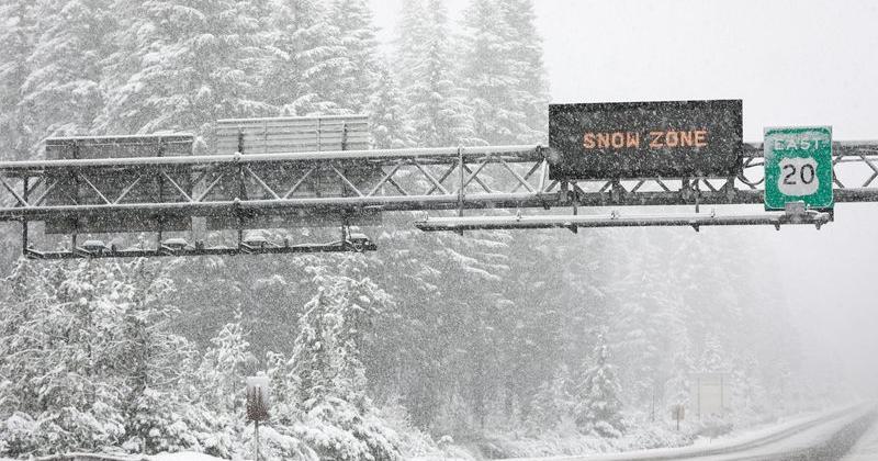 Oregon may see Cascade snow as record-warm October turns cooler
Light snow could fall on Cascade Mountain roads next weekend — Oct. 24 to 25. After one of the warmest and driest Octobers on record, it should start to feel like autumn late this week and next weekend. The Cascade…
-
 Nearly 90% of Oregon is in drought as rain year begins
PORTLAND, Ore. (KATU) — Rain has started trickling into the Pacific Northwest for the season. October 1 marks the beginning of the new rain year, and in Portland, we’ve seen about 0.1” so far through the month, which is…
-
 Southern Oregon Opens the Week in Sunshine as Cooler Nights and Rain Chances Follow
Cooler air will lower Medford’s high to about 66 and Klamath Falls to 61. Grants Pass is forecast near 73, Roseburg near 64 and Brookings near 59. Clouds will be more prominent across the region, with isolated showers…
-
 Central Oregon will see mixed sun and clouds through Monday
BEND, Ore. — Central Oregon will see a mix of clouds and sunshine Sunday, with afternoon temperatures reaching the low 60s, followed by another mostly cloudy and mild day Monday. For Bend, the National Weather Service…
Air quality
Acceptable. Unusually sensitive people should consider limiting prolonged outdoor exertion.
Bend and Redmond, OR reporting area · 1 hr ago. Data from AirNow (EPA and its state, local and tribal partners); preliminary and subject to change.
Sun & moon
Nearby
- Redmond 26 km
- Prineville 47 km
- Deschutes River Woods 8 km
- Three Rivers 29 km
- Sisters 32 km
Forecasters' discussion
From the National Weather Service office in PDT, issued 18 hrs ago
Key Messages
- Above normal temperatures and dry conditions Today
- Return of showers and isolated thunderstorms to the eastern mountains Thursday, with breezy conditions in the lower elevations Thursday and Friday
- Moderate to High confidence (60-90%) in freezing morning temperatures Saturday
Discussion
An upper low continues spinning off of the central CA coast, with ridging across the Interior Northwest. As a result, clouds remain high across the central and eastern Oregon counties, with more sun across the Washington zones. Today will be the warmest afternoon across the broader area, and for all elevations, reaching the mid/upper 60s again over the Columbia Basin and Kittitas/Yakima Valleys, to the low/mid 70s across central Oregon/Grande Ronde Valley/John Day Basin. Another day of light and diurnally and terrain driven winds for all zones.
The next weather system will impact the winds due to pressure gradients across the Cascade gaps/Columbia River Gorge. NBM ensemble members show a range of about 50 to 75 percent offering wind advisory level , 39 mph or higher gusts Thursday evening. More mid and high cloudiness will be spreading farther north into WA Tonight and though the morning on Thursday. REFs shows light precipitation associated with a weak orographic / deformation band spreading north (southwest to northeast orientation) off the Blue Mountains, and bringing measurable (less than wetting rains) precipitation across the foothills of the Blues and into the lower Columbia Basin/central Oregon though noon. Better forcing/moisture profiles develop later Thursday and Thursday night and cool air aloft acts to increase instability and bump 3-hr QPF means to the 0.10 and locally 0.25 amounts starting mid evening Thursday in the southern Blues, and ending across the Wallowas sometime mid Friday morning.
Following the exit of the amplified trough, colder air will give another opportunity for freezing temperatures over higher populated areas of the Lower Columbia, and Yakima/Kittitas Valley zones that have not had the season ending freeze just yet. This opportunity comes Saturday morning. Blue Mt Foothills and Kittitas valley, including Walla Walla, Pendleton/Ellensburg have around a 90% chance or higher based on NBM probabilities of sub freezing temps. A bit less certainty exists as Yakima to Sunnyside falls in at about a 50 to 60 percent chance for 32 degrees or colder Saturday morning.
Aviation
VFR conditions to prevail through the period. At the very tail end of the period(16-18Z tomorrow), sites PDT/ALW/RDM/BDN may see light rain showers approach the sites. At this time, chances/confidence too low to include in TAF. Winds will be light, 12kts or less, through the period. Lawhorn/82
Pdt Watches
WA...None. OR...None.
Forecasts, observations and alerts in the United States come from the National Weather Service (NOAA); radar from NOAA's Multi-Radar Multi-Sensor system; satellite imagery from NASA's Global Imagery Browse Services (GIBS) and NOAA's GOES satellites; the map from the U.S. Geological Survey's National Map; air quality from AirNow (EPA and its partners); hurricane information from the National Hurricane Center; climate normals and records from NOAA's Regional Climate Centers (ACIS). Forecasts outside the United States and the UV index: MET Norway (CC BY 4.0); observations outside the U.S.: airport reports via NOAA's Aviation Weather Center. Place names: GeoNames (CC BY 4.0). Data are copied on a schedule and may lag the sources; for warnings that affect your safety, follow your local National Weather Service office and emergency officials. Weather news is drawn from the 4Search index and reflects what the press published. Terms of use.