Install
Redding, CA 96002 Weather
Current conditions
Observed at Redding Municipal Airport · 1 hr ago
Forecast
10-day-
Tonight
A slight chance of showers and thunderstorms before 7pm, then a chance of showers and thunderstorms between 7pm and 8pm, then rain. Mostly cloudy. Low around 53, with temperatures rising to around 55 overnight. Southeast wind 0 to 3 mph. Chance of precipitation is 80%. New rainfall amounts between a quarter and half of an inch possible.
-
Thursday
Rain. Mostly cloudy. High near 67, with temperatures falling to around 65 in the afternoon. South wind 0 to 3 mph. Chance of precipitation is 80%. New rainfall amounts between a tenth and quarter of an inch possible.
-
Thursday Night
A chance of rain before 10pm. Mostly cloudy. Low around 47, with temperatures rising to around 50 overnight. Northwest wind 0 to 3 mph. Chance of precipitation is 30%. New rainfall amounts less than a tenth of an inch possible.
National Weather Service forecast updated 6 hrs ago.
Hourly
Hourly forecast- Now66°35%
- 9 PM64°38%
- 10 PM61°44%
- 11 PM59°65%
- Thu12 AM58°72%
- 1 AM56°81%
- 2 AM56°42%
- 3 AM55°55%
- 4 AM56°40%
- 5 AM55°65%
- 6 AM55°55%
- 7 AM55°57%
- 8 AM54°57%
- 9 AM56°65%
- 10 AM59°63%
- 11 AM60°31%
- 12 PM63°37%
- 1 PM64°45%
- 2 PM64°56%
- 3 PM66°70%
- 4 PM65°81%
- 5 PM65°45%
- 6 PM66°33%
- 7 PM63°28%
10-day forecast
Details- TonightOct 21Slight Chance Showers And Thunderstorms then Rain81%53°
- ThuOct 22Rain81%47°67°
- FriOct 23Sunny45°73°
- SatOct 24Sunny46°76°
- SunOct 25Mostly Sunny45°73°
- MonOct 26Sunny11%44°72°
- TueOct 27Sunny45°73°
- WedOct 28Mostly Sunny72°
- ThuOct 29Cloudy49°77°
- FriOct 30Cloudy51°68°
Days after the National Weather Service's seven are MET Norway's outlook, a computer model with no forecaster's review.
Radar
Full mapWeather news near Redding
More weather news- IMD issues red alert for very heavy to extremely heavy rainfall in coastal Andhra Pradesh
News On AIR Play Audio Morning News News On AIR | October 18, 2026 3:58 PM IMD issues red alert for very heavy to extremely heavy rainfall in coastal Andhra Pradesh
-
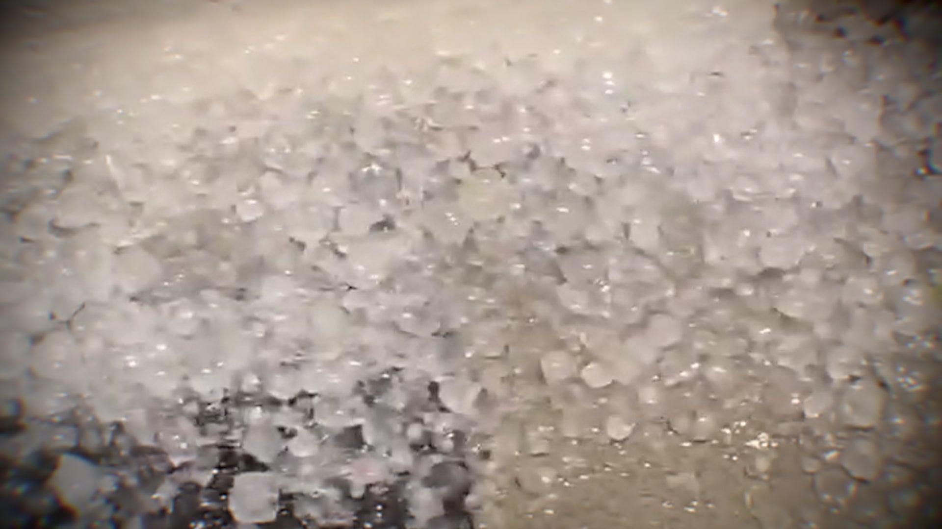 Hail and strong winds hit central Arizona on Tuesday
The Weather Channel Supercell hits Phoenix suburbs with egg-sized hail and 60 mph winds Heavy hail crashed down when thunderstorms rolled through the Phoenix area on Tuesday night. The area saw hail up to the size of…
-
 Maryland Drivers Urged To Watch For Children At Bus Stops As Mornings Grow Darker
CALIFORNIA, Md. — As mornings grow darker and daylight saving time approaches its end, Maryland drivers are being reminded to slow down and watch for children walking to school bus stops during their morning commutes…
-
 The Breakdown: Radar — What Those Colors Really Tell Us
MEMPHIS, Tenn. (WMC) - That blob of green, yellow and red on radar isn’t a live picture of the sky. Weather radar sends out pulses of energy, then listens for what bounces back. The stronger the return, the bigger and…
-
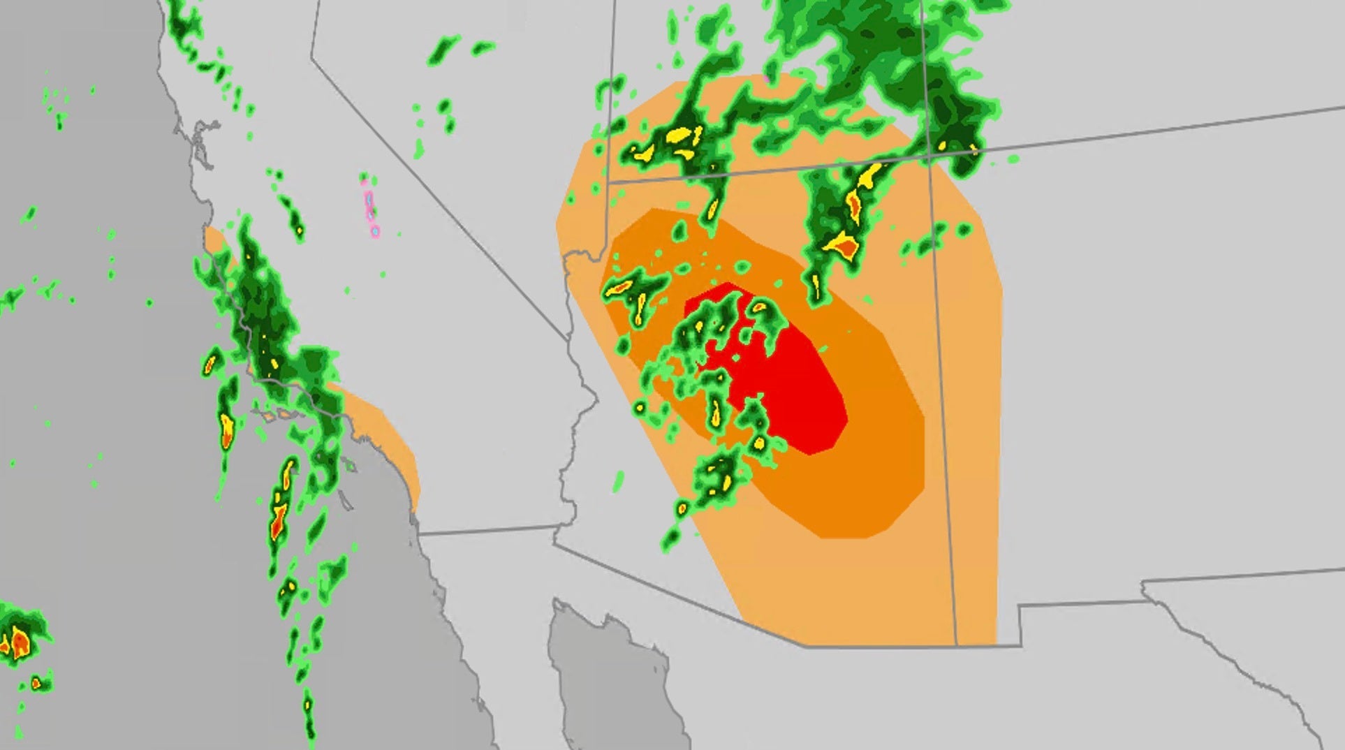 Significant severe, flooding risk for parts of the Southwest
The Weather Channel Large hail, tornadoes, flooding possible on Wednesday for Southwest Parts of the Southwest U.S. will face an elevated risk of severe weather Wednesday, which includes the possibility of large hail…
-
 Schools to close on Friday due to Storm Austen
All schools have been told to close on Friday because of the high winds predicted to be caused by Storm Austen, the Government of Jersey has said. Winds of up to 80mph are set to hit Jersey on Friday morning, with a red…
-
 Tropical Storm Vance has formed in the Pacific Ocean
Vance was located about 520 miles south of Acapulco, Mexico, on Wednesday afternoon. The center of the cyclone was at sea and posed no threat to land. Vance was located about 520 miles south of Acapulco, Mexico. Maximum…
-
 Heavy Rain, Flooding Hit Queensland, More on Way
We'll also see more wet weather as we round out the week and push through the weekend. I'm Angus, I'm here at the bureau. This is a severe weather update. It is Thursday morning at the time of recording, and I wanted to…
-
 10/20/26- Nice outdoor weather continues...along with a FIRE risk
WTOK 10/19/26- Not a DROP of rain for our area this week 10/16/26- Cooler this weekend / Red Flag Warning
-
 Where to spot brilliant colours after 'false autumn' spoils some leaf displays
There was a stunning display of autumnal colours in 2025 after a warm and sunny summer, but how will this year's heat affect the seasonal display? This year's display of autumn leaves could look rather different…
Air quality
Air quality is satisfactory, and air pollution poses little or no risk.
Redding, CA reporting area · 1 hr ago. Data from AirNow (EPA and its state, local and tribal partners); preliminary and subject to change.
Sun & moon
Almanac
MonthlyRedding Area, records since 1893. Normals 1991–2020. Data from NOAA's Regional Climate Centers (ACIS).
Nearby
- Red Bluff 42 km
- Anderson 12 km
- Shasta Lake 15 km
- Weaverville 55 km
- Cottonwood 19 km
- Bella Vista 13 km
- Shingletown 38 km
Forecasters' discussion
From the National Weather Service office in STO, issued 7 hrs ago
Key Messages
- Scattered showers, thunderstorms, and high elevation snow showers expected through late Thursday.
- Drier weather moves in Friday and into the weekend, with breezy north to east winds Friday.
- Ridge builds in over the weekend, with slight chances for showers in Shasta county.
.DISCUSSION...
...Today through Thursday...
Current radar has a swath of rain and isolated thunderstorms through the Coastal Range down toward the Sierra Foothills. The track is to the north-northwest. We have seen a few lightning strikes over the past couple of hours, but they remain few and far between storms. There are gaps of coverage in the rain as it moves through the area, but HIRES guidance continues to show the swath of rain filling in completely over the next several hours and begin to push toward the north and east as the main upper level system off the coast moves onshore. Instability has been lacking in the latest observations, with only up to 250 J/kg across the Valley, foothills, and mountains. This will likely continue for the rest of the afternoon. Cloud coverage is the key into keeping the instability lower than expected. None the less, moisture content is high and lift is present to development thunderstorms and at least maintain them through this evening. The question remains on if these storms will be able to sustain hail shafts long enough to produce nickel or even quarter size hail. As of right now, we are leaning toward small hail as a possibility and brief gusty winds in the strongest of storms. Brief heavy rain and frequent lightning will also be a hazard to watch out for.
Aviation
Showers and isolated thunderstorms will be possible through the afternoon and into the evening hours, with lowered ceilings. Ceilings should remain VFR, but chances are there for MVFR for all sites post 00z. Best timeframe for thunderstorms will be 2000z through 0400z for all sites. Winds will remain light throughout the day. Areas in and around thunderstorms may see erratic winds, brief moderate rain reducing visibilities and IFR ceilings. Otherwise, we are looking at a lull in activity later tonight around 09-10z through the mid morning hours. During this lull isolated to scattered showers at times for the sites. Near the end of the TAF period thunderstorm chances start to increase once again.
Sto Watches
None.
Forecasts, observations and alerts in the United States come from the National Weather Service (NOAA); radar from NOAA's Multi-Radar Multi-Sensor system; satellite imagery from NASA's Global Imagery Browse Services (GIBS) and NOAA's GOES satellites; the map from the U.S. Geological Survey's National Map; air quality from AirNow (EPA and its partners); hurricane information from the National Hurricane Center; climate normals and records from NOAA's Regional Climate Centers (ACIS). Forecasts outside the United States and the UV index: MET Norway (CC BY 4.0); observations outside the U.S.: airport reports via NOAA's Aviation Weather Center. Place names: GeoNames (CC BY 4.0). Data are copied on a schedule and may lag the sources; for warnings that affect your safety, follow your local National Weather Service office and emergency officials. Weather news is drawn from the 4Search index and reflects what the press published. Terms of use.