Install
Nice, CA 95464 Weather
Current conditions
Forecast for this hour (no station report in the last two hours)
Forecast
10-day-
Today
Patchy fog before 2pm. Mostly sunny, with a high near 68. West wind around 2 mph.
-
Tonight
Clear, with a low around 44. North northwest wind around 2 mph.
-
Saturday
Sunny, with a high near 73. West southwest wind around 2 mph.
National Weather Service forecast updated 3 hrs ago.
Hourly
Hourly forecast- Now68°
- 3 PM68°
- 4 PM68°
- 5 PM68°
- 6 PM66°
- 7 PM63°
- 8 PM59°
- 9 PM58°
- 10 PM56°
- 11 PM55°
- Sat12 AM53°
- 1 AM51°
- 2 AM50°
- 3 AM50°
- 4 AM48°
- 5 AM47°
- 6 AM46°
- 7 AM46°
- 8 AM45°
- 9 AM49°
- 10 AM55°
- 11 AM60°
- 12 PM63°
- 1 PM68°
Daily forecast
Details- TodayOct 23Patchy Fog44°68°
- SatOct 24Sunny47°73°
- SunOct 25Mostly Sunny45°71°
- MonOct 26Sunny42°66°
- TueOct 27Patchy Fog then Mostly Sunny43°66°
- WedOct 28Patchy Fog then Mostly Sunny43°66°
- ThuOct 29Patchy Fog then Mostly Sunny42°65°
- FriOct 30Cloudy53°67°
- SatOct 31Cloudy0.31 in53°68°
Days after the National Weather Service's seven are MET Norway's outlook, a computer model with no forecaster's review.
Radar
Full mapWeather news near Nice
More weather news-
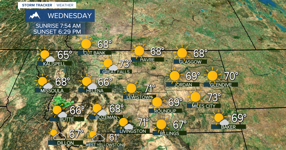 Really Nice Weather Until Friday
KTVH Beautiful October weather will keep on rolling for Wednesday and Thursday, but Friday will be quite stormy with rain, falling temperatures and falling snow levels Until then, most of the state will have plenty of…
-
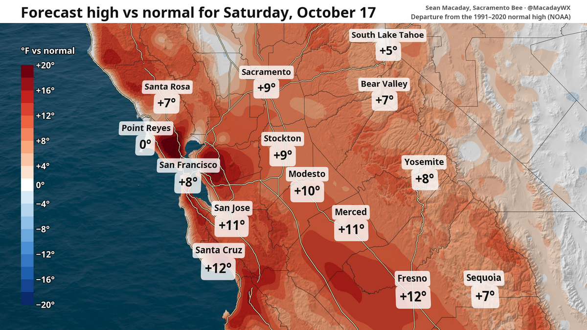 High temps in Fresno to fall 20 degrees this week. What to expect in Central Valley and state
Despite chilly weekend mornings, the high temperature in Fresno is expected to touch 90 Saturday and then fall to 70 by Wednesday. The topsy-turvy weather and winds can be a calling card of mid-October. After a brief…
-
 Back to reality, much cooler this weekend
KPTV We ended up much cooler this morning than originally thought but ample sunshine and a very light east wind should help push temperatures into the mid to upper 70s. FEW SHOWERS + COOLER THIS WEEKEND Hopefully you’ve…
- Wind, cooldown and rain? What to expect this weekend and beyond in NorCal weather
Despite a breeze, this weekend is set to be the warmest stretch for the foreseeable future. Those factors will provide some fire risk before temperatures tumble and a window for rain opens next week. It’s a great…
-
 California Weather: NHS Forecasts Clearning Skies, Light Showers, Strong Winds Across Sacramento, Sierra Foothills and Northern California – Check Forecast & Latest Updates
Northern California is forecast to see gradually clearing skies on Friday following recent unsettled weather. Read for more details. The post California Weather: NHS Forecasts Clearning Skies, Light Showers, Strong…
-
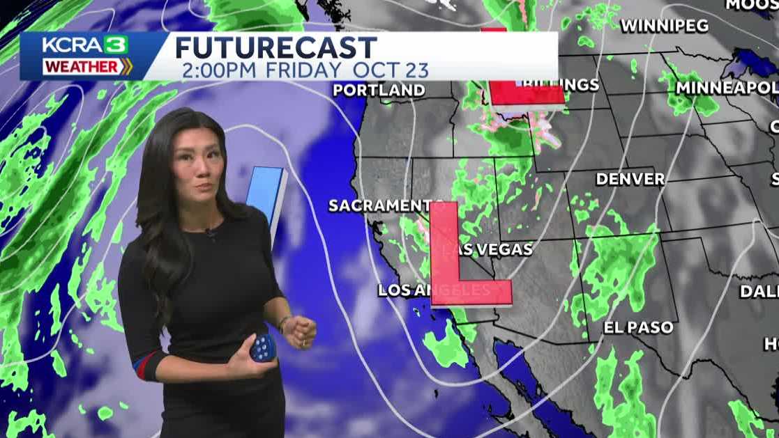 Northern California forecast: Warmer and breezy Friday as we dry out
Mist, sprinkles and light showers are lingering across Northern California this morning, but drier weather and sunshine will return by the afternoon. Most of the region should be dry by noon, with clearing skies…
-
 California weather with Dirk & Heather: How much rain did we get?
KCRA California weather with Dirk & Heather: How much rain did we get? Scattered showers and thunderstorms have brought beneficial rain to many places across the state. Scattered showers and thunderstorms have brought…
-
 Southern California weather — Fall Storm Brings Thunderstorms and Flood Advisories
A recent Southern California weather system driven by an autumn storm is continuing to bring thunderstorms, lightning, and heavy rain to the region. With localized downpours expected, authorities have issued strict…
-
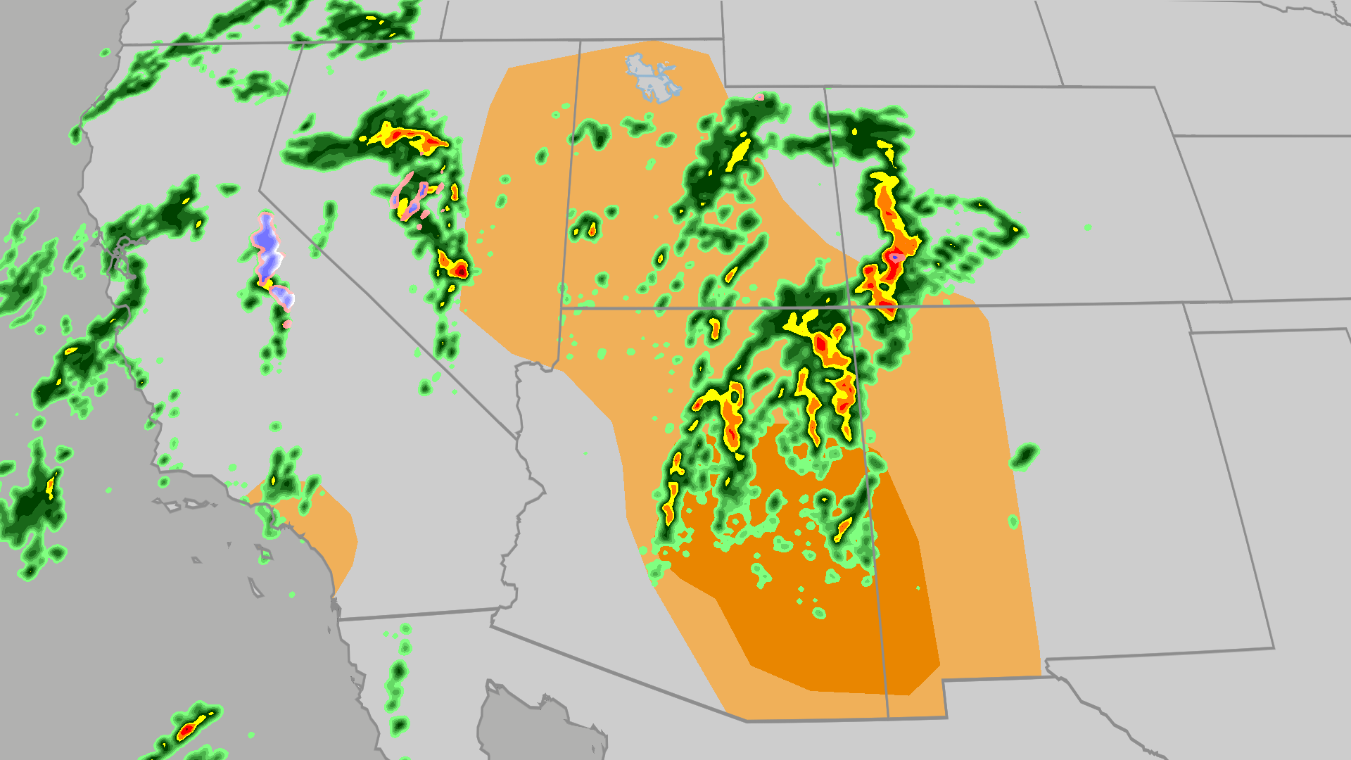 Severe weather, flood risk across Four Corners, California
The Weather Channel Tornadoes, flooding, large hail possible in Four Corners, California Parts of the Four Corners and Southern California face an elevated risk of severe weather on Thursday, which includes the…
-
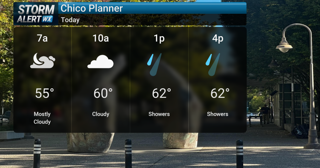 Showery conditions, possible thunderstorms impact Northern California today
Cloudy skies are expected across Northern California today, bringing periods of rain and a chance of thunderstorms later in the day. Highs will reach the mid-60s with winds from the south between 10 and 15 mph. Rain and…
Air quality
Air quality is satisfactory, and air pollution poses little or no risk.
Ukiah, CA reporting area · 2 hrs ago. Data from AirNow (EPA and its state, local and tribal partners); preliminary and subject to change.
Sun & moon
Almanac
MonthlyUkiah Area, records since 1893. Normals 1991–2020. Data from NOAA's Regional Climate Centers (ACIS).
Nearby
- Ukiah 33 km
- Clearlake 25 km
- Healdsburg 57 km
- Cloverdale 38 km
- Hidden Valley Lake 42 km
- Williams 59 km
- Willits 55 km
- Lakeport 11 km
- Kelseyville 16 km
- North Lakeport 7 km
- Brooktrails 60 km
- Clear Lake Riviera 21 km
Forecasters' discussion
From the National Weather Service office in EKA, issued 23 hrs ago
Key Messages
* Rain showers are expected to continue to taper off this afternoon and evening.
* Dry, cooler and breezy conditions are expected Friday with frost or freezing temperatures possible Friday night/Saturday morning.
* There is the potential for a pattern change to cooler and wetter weather. This may start as early as Sunday or more likely hold off until early or mid next week.
Synopsis
Rain showers continue through this afternoon and finally move out this evening and overnight. This will set up a cool and dry Friday with frost likely Friday night. Warm and dry conditions are expected Saturday. The next chance for rain for Humboldt and Del Norte is expected by late this weekend/early next week.
Discussion
An upper level low pressure system will continue its journey east through Central California today with associated rain showers continually diminishing this afternoon/evening for Northwest California. Light to moderate rain occurred this morning for the North Coast. In particular, there has been a multi hour almost continual band of moderate rainfall over mostly Humboldt County with widespread rain totals of 0.55 to 0.90 inches between about Orleans, Slate Creek, and Notchko down to School House Ridge through the cities around Humboldt Bay, and the hills east of Humboldt Bay down to Bridgeville. While rain showers are diminishing and ending along the North Coast, showers will continue through Trinity, Mendocino, and Lake counties into later this evening.
The low quickly moves east of the area this evening with much drier air filling in behind. The areas that do manage to clear are expected to see valley fog. The chilly airmass could allow some areas to drop into the mid 30s and see localized frost, but with widespread rainfall, valley fog will limit cooling. Closer to the coast and above a couple thousand feet, the ridges are expected to clear out and see breezy easterly winds. Friday is expected to see quite a bit of drying, but temperatures are expected to remain in the 60s to low 70s. This drier air will set up the area for a chilly night Friday into Saturday morning. Easterly winds will likely keep the coast clear and the ridges dry.
Sunday and into early next week, the forecast remains highly uncertain. The models have backed off from the wettest solutions. However, some of the model clusters continue to show a tenth to a quarter of an inch of rain on Sunday, mainly in the evening. NBM shows around a 35% chance for a tenth of an inch of rain Sunday night into Monday for Northern Humboldt and Del Norte. The models are still showing a fairly even split between a large ridge and trough over the area. This could mean a difference in interior high temperatures in the 50s in the trough or over 75 under the ridge. By Tuesday or Wednesday an increasing number of the cluster members showing a trough moving into the area bringing the potential for some rain. This will definitely be a time period to watch and may be the early signs of a more significant pattern change. JB/MKK
Aviation
Showers continue to taper off for coastal terminals as they linger in Mendocino, Trinity and Lake. IFR to MVFR conditions will dominate into the evening. Later this evening, winds will begin to trend offshore. This will aid in the gradual scattering and lifting of lower clouds at area terminals overnight.
Forecasts, observations and alerts in the United States come from the National Weather Service (NOAA); radar from NOAA's Multi-Radar Multi-Sensor system; satellite imagery from NASA's Global Imagery Browse Services (GIBS) and NOAA's GOES satellites; the map from the U.S. Geological Survey's National Map; air quality from AirNow (EPA and its partners); hurricane information from the National Hurricane Center; climate normals and records from NOAA's Regional Climate Centers (ACIS). Forecasts outside the United States and the UV index: MET Norway (CC BY 4.0); observations outside the U.S.: airport reports via NOAA's Aviation Weather Center. Place names: GeoNames (CC BY 4.0). Data are copied on a schedule and may lag the sources; for warnings that affect your safety, follow your local National Weather Service office and emergency officials. Weather news is drawn from the 4Search index and reflects what the press published. Terms of use.