Install
San Francisco, CA 94130 Weather
Current conditions
Observed at SAN FRANCISCO DOWNTOWN · 1 hr ago
Forecast
10-day-
Tonight
Mostly cloudy, with a low around 56. North northwest wind around 3 mph.
-
Wednesday
A chance of rain showers after 11am. Mostly cloudy. High near 68, with temperatures falling to around 66 in the afternoon. Southwest wind 2 to 7 mph. Chance of precipitation is 30%.
-
Wednesday Night
A chance of rain showers. Mostly cloudy, with a low around 56. West southwest wind 2 to 6 mph. Chance of precipitation is 40%. New rainfall amounts less than a tenth of an inch possible.
National Weather Service forecast updated 48 min ago.
Hourly
Hourly forecast- Now60°
- 11 PM60°
- Wed12 AM60°
- 1 AM59°
- 2 AM58°
- 3 AM58°
- 4 AM58°
- 5 AM57°
- 6 AM57°
- 7 AM57°
- 8 AM58°
- 9 AM60°
- 10 AM61°
- 11 AM63°16%
- 12 PM65°18%
- 1 PM66°19%
- 2 PM67°23%
- 3 PM66°23%
- 4 PM66°28%
- 5 PM66°34%
- 6 PM64°44%
- 7 PM62°35%
- 8 PM62°33%
- 9 PM61°36%
10-day forecast
Details- TonightOct 20Mostly Cloudy56°
- WedOct 21Chance Rain Showers44%56°68°
- ThuOct 22Chance Rain Showers40%54°64°
- FriOct 23Mostly Sunny53°68°
- SatOct 24Sunny52°72°
- SunOct 25Mostly Sunny54°74°
- MonOct 26Mostly Sunny54°72°
- TueOct 27Mostly Sunny71°
- WedOct 28Cloudy58°83°
- ThuOct 29Cloudy57°73°
Days after the National Weather Service's seven are MET Norway's outlook, a computer model with no forecaster's review.
Radar
Full mapWeather news near San Francisco
More weather news-
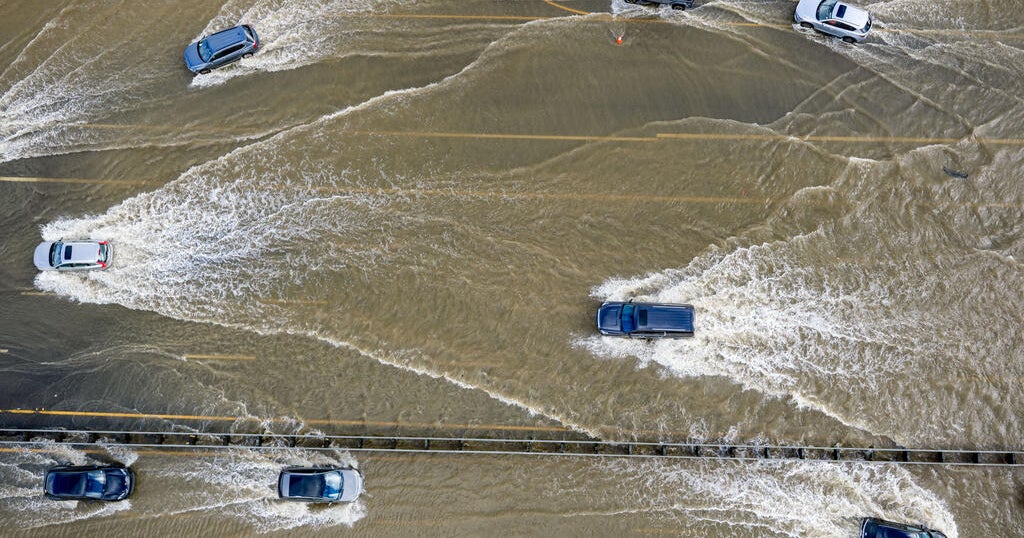 Conditions aligning for Bay Area to expect highest King Tides in 18 years
October 18, 2026 / 1:21 PM PDT / CBS San Francisco King tides bring coastal flooding to the Bay Area every winter. But this fall and winter, the region is expected to see the highest tides in 18 years. Why does this…
- These Are the States With the Best Weather Year-round
California and Hawaii are strong contenders for the best weather in the U.S. year-round. Coastal California offers comfortable temperatures with limited seasonal swings; Hawaii delivers consistent coastal warmth. But…
-
 ‘Danger zone’: These 5 US states are about to be hit hardest by El Niño, experts warn
Expect wildfires, floods and storms The world is entering a “danger zone of extreme weather” as the El Niño weather phenomenon starts to be felt, UN chief António Guterres recently said. His warnings have been echoed by…
- San Francisco Warms Friday Before Bay Area Temps Tank
The forecast calls for offshore flow and no rain in San Francisco. A Red Flag Warning remains in effect until 11 a.m. Friday for the North Bay Interior Mountains, while very dry conditions and elevated fire danger are…
-
 Back to reality, much cooler this weekend
KPTV We ended up much cooler this morning than originally thought but ample sunshine and a very light east wind should help push temperatures into the mid to upper 70s. FEW SHOWERS + COOLER THIS WEEKEND Hopefully you’ve…
- Bay Area beaches to see sneaker waves, strong rip currents this weekend
The National Weather Service is warning beachgoers about dangerous wave conditions this weekend. Here, a person watches a huge swell at Montara State Beach in December 2020. On what could be one of the Bay Area’s last…
-
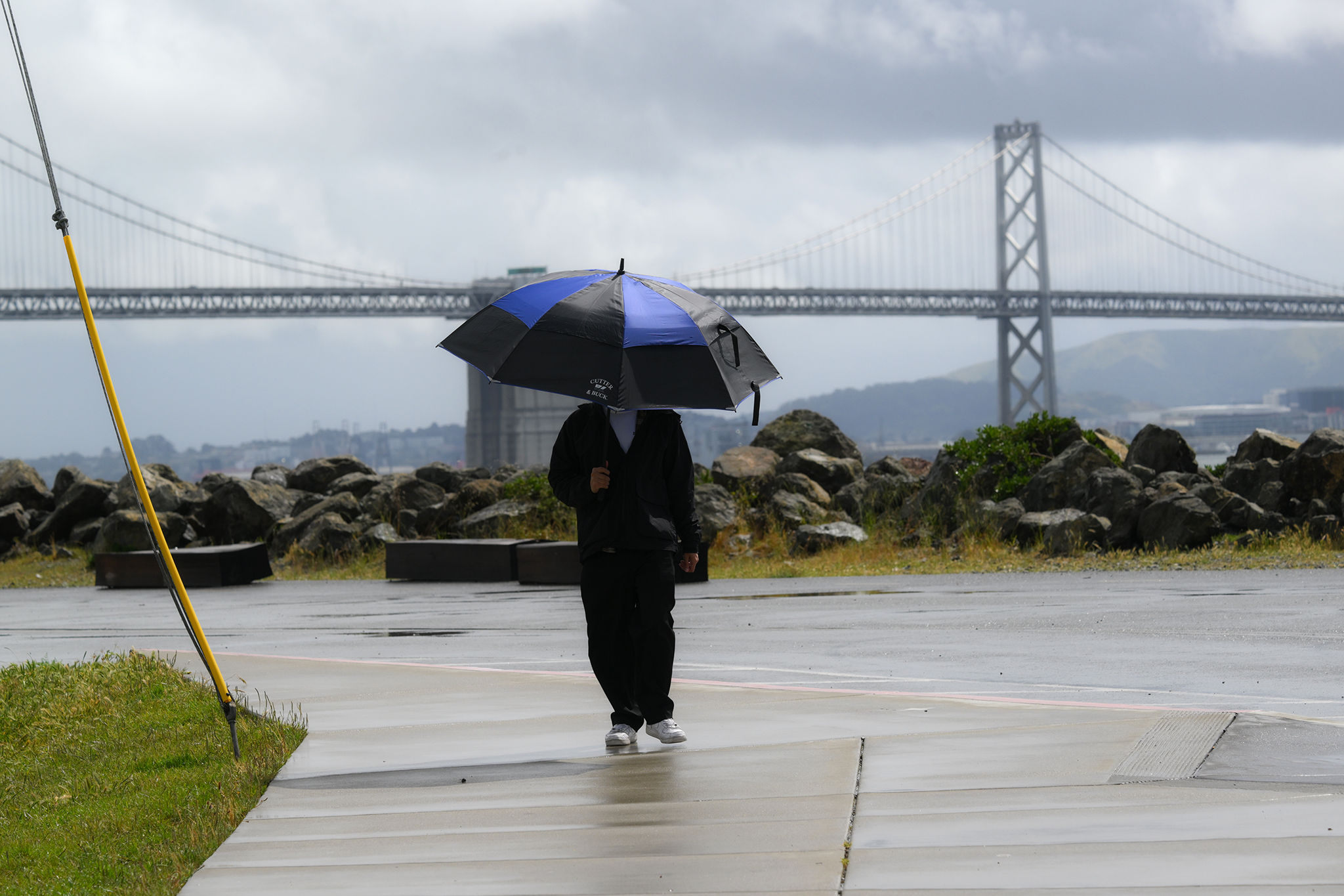 Warm, wet winter in store for California. Here's what to know.
A pedestrian on Treasure Island braces against rainy weather on April 12, 2026. Winter is coming, and it looks warm and wet in California, according to new data. Huge clouds over the city as seen from Treasure Island…
-
 A planetary wave just crept into San Francisco
El Niño has sent a deep-sea wave from the tropics into California waters. Unlike waves that crash over the beach, this so-called Kelvin wave traveled underwater, lifting the sea surface by up to a foot. The Kelvin wave…
-
 Kelvin Wave Reaches Bay Area, Raises Sea To Record Levels: What To Know
SAN FRANCISCO, CA — An underwater wave linked to this year’s powerful El Niño reached San Francisco Bay this week, potentially contributing to unusually high tides and localized flooding along the Bay Area shoreline…
-
 Thousands in Bay Area could lose power due to PG&E shut-offs
LATEST Oct. 14, 12:30 p.m. PG&E has increased the number of California residents who may lose power as high winds and dry weather are expected. Now, 88,000 state residents across 29 counties are at risk of power…
Air quality
Air quality is satisfactory, and air pollution poses little or no risk.
Forecast
- TueModerate (53)
- WedGood (50)
- ThuGood
Oakland, CA reporting area · 1 hr ago. Data from AirNow (EPA and its state, local and tribal partners); preliminary and subject to change.
Sun & moon
Almanac
MonthlySan Francisco Airport Area, records since 1945. Normals 1991–2020. Data from NOAA's Regional Climate Centers (ACIS).
Nearby
Forecasters' discussion
From the National Weather Service office in MTR, issued 2 hrs ago
Key Messages
Updated at 801 PM PDT Tue Oct 20 2026
- Cooling trend continues through the end of the week
- Beneficial light rain showers expected Wednesday through Thursday
- Thunderstorms possible Wednesday afternoon into Thursday morning across Central Coast
- Warm and dry next weekend
Update
Issued at 801 PM PDT Tue Oct 20 2026
It is the calm before the storm. Weather admirers are anxiously waiting for the first rain to reach the surface. The most recent 12Z and 00Z KOAK soundings observed precipitable water values nearly double from 0.44 inches yesterday to 0.84 inches today. Mid-level moisture is increasing, though dry air at the surface remains. As a result, today's cloud buffet consisted of cirrostratus and altocumulus castellanus with virga (rain that evaporates before reaching the ground) at the cloud base. Soon enough this moisture will saturate the lower levels setting the stage for the first rain showers to develop overnight.
Navarrete
Short Term
Issued at 104 PM PDT Tue Oct 20 2026 (This evening through Wednesday night)
Near term - mid and upper level clouds continue to stream over the forecast area this afternoon. There have been a few pockets of sunshine, but temperatures are still seasonably cool. Highs this afternoon will top out in the 60s and 70s. We have a few spots interior Central Coast with a forecast to reach close to 80, but that may be tricky given temps are holding in the 60s currently.
The much talked about storm system is knocking on our door step. Afternoon visible satellite imagery shows a solid circulation well offshore. That's the surface low getting its energy from a robust upper level jet rounding the base of the trough. We've actually begun to pick a few lightning strikes near the center of the surface low. Between the surface low and the coastline is another swath of clouds. This particular location is where the digging northern jet is phasing with the southern jet. In other words, solid lift. KMUX radar continues to pick up bands of shower activity associated with this region of lift and moisture. So what's it look like this evening through Wednesday? The upper level jet dynamics will continue to fuel the cut-off low at 500mb and the occluded surface low. Both of these features will inch their way eastward between now and early Wednesday. As such, a few scout/leading edge showers will be possible across the region. Still some dry air in the mid levels so it will take some time to get the precip to hit the ground. Where it becomes more interesting dynamically is early Wednesday. As the low moves toward the coast stronger flow aloft takes aim at the Central Coast with a jet max showing up from 700-500mb leading to deeper layer shear. The increasing shear also lines up with some higher lapse rates and decent CAPE (Cali standards). The other wildcard at play are the SSTs in that region. Current SPORT data shows values in the upper 60s or 8-10 degrees above normal. One would think that will add some extra fuel. Given the setup, dynamics, and pattern recognition some low-topped supercells are within the realm of possibilities. Rotating cells could spawn a waterspout that may make landfall. The threat for thunderstorms have been extended northward to Santa Cruz, but the most likely area for waterspouts remains off Big Sur. SPC has now included the Big Sur Coast in a 2-4% chc of tornadoes. Peak convective threat remains from 12Z Wed through 03-06Z Thursday. Outside of this threat and this region, elsewhere around the CWA will see rain shower throughout the day.
Timber and Plaskett burn area concerns - given the convective threat there are definitely concerns for debris flows. Given the low conf and more cellular nature will not issue any flash flood watch at this time. Persons along the Big Sur Coast should still be prepared. Needless to say, we'll watching this situation closely.
Convective threat end Wednesday night into Thursday, but lingering showers remain.
Long Term
Issued at 204 PM PDT Tue Oct 20 2026 (Thursday through next Monday)
The cut-off low transitions to an open wave on Thursday as it moves eastward. While the best dynamics may have eased, lingering showers remains through the day Thursday. Rainfall totals: remain the same for most of the Bay Area 0.05-0.25", while Central Coast into Santa Cruz has increased 0.25-0.75" locally up to 1.25" Santa Lucia.
By Friday the open wave/trough will be east of the area with upstream ridging moving in. The ridging will usher in a warming and drying trend for the upcoming weekend. The pattern over the weekend into next week has some omega blocking vibes, but upstream lows keep trying to knock into the ridge. Dry through the rest of the extended.
Totally fantasy land at this point, but longer range guidance keeps the pattern active with wet weather returning toward the end of the month just in time for Halloween. Stay tuned...
Forecasts, observations and alerts in the United States come from the National Weather Service (NOAA); radar from NOAA's Multi-Radar Multi-Sensor system; satellite imagery from NASA's Global Imagery Browse Services (GIBS) and NOAA's GOES satellites; the map from the U.S. Geological Survey's National Map; air quality from AirNow (EPA and its partners); hurricane information from the National Hurricane Center; climate normals and records from NOAA's Regional Climate Centers (ACIS). Forecasts outside the United States and the UV index: MET Norway (CC BY 4.0); observations outside the U.S.: airport reports via NOAA's Aviation Weather Center. Place names: GeoNames (CC BY 4.0). Data are copied on a schedule and may lag the sources; for warnings that affect your safety, follow your local National Weather Service office and emergency officials. Weather news is drawn from the 4Search index and reflects what the press published. Terms of use.