Install
San Joaquin, CA 93660 Weather
Current conditions
Forecast for this hour (no station report in the last two hours)
Forecast
10-day-
Thursday Night
A chance of rain before 11pm. Mostly cloudy, with a low around 46. Northwest wind 0 to 5 mph. Chance of precipitation is 50%. New rainfall amounts less than a tenth of an inch possible.
-
Friday
Mostly sunny, with a high near 72. Northwest wind 0 to 5 mph.
-
Friday Night
Mostly clear, with a low around 43. Northwest wind 0 to 5 mph.
National Weather Service forecast updated 2 days ago.
Hourly
Hourly forecast- Now62°45%
- 10 PM60°45%
- 11 PM59°
- Fri12 AM57°
- 1 AM56°
- 2 AM54°
- 3 AM53°
- 4 AM52°
- 5 AM52°
- 6 AM49°
- 7 AM48°
- 8 AM48°
- 9 AM52°
- 10 AM58°
- 11 AM64°
- 12 PM67°
- 1 PM69°
- 2 PM70°
- 3 PM71°
- 4 PM72°
- 5 PM70°
- 6 PM67°
- 7 PM64°
- 8 PM61°
10-day forecast
Details- TonightOct 20Mostly Cloudy10%50°
- WedOct 21Light Rain Likely69%48°70°
- TodayOct 22Light Rain Likely then Showers And Thunderstorms Likely71%46°70°
- FriOct 23Mostly Sunny43°72°
- SatOct 24Sunny44°75°
- SunOct 25Sunny45°79°
- MonOct 26Sunny44°77°
- TueOct 27Sunny78°
- WedOct 28Cloudy54°84°
- ThuOct 29Cloudy57°84°
Days after the National Weather Service's seven are MET Norway's outlook, a computer model with no forecaster's review.
Radar
Full mapWeather news near San Joaquin
More weather news-
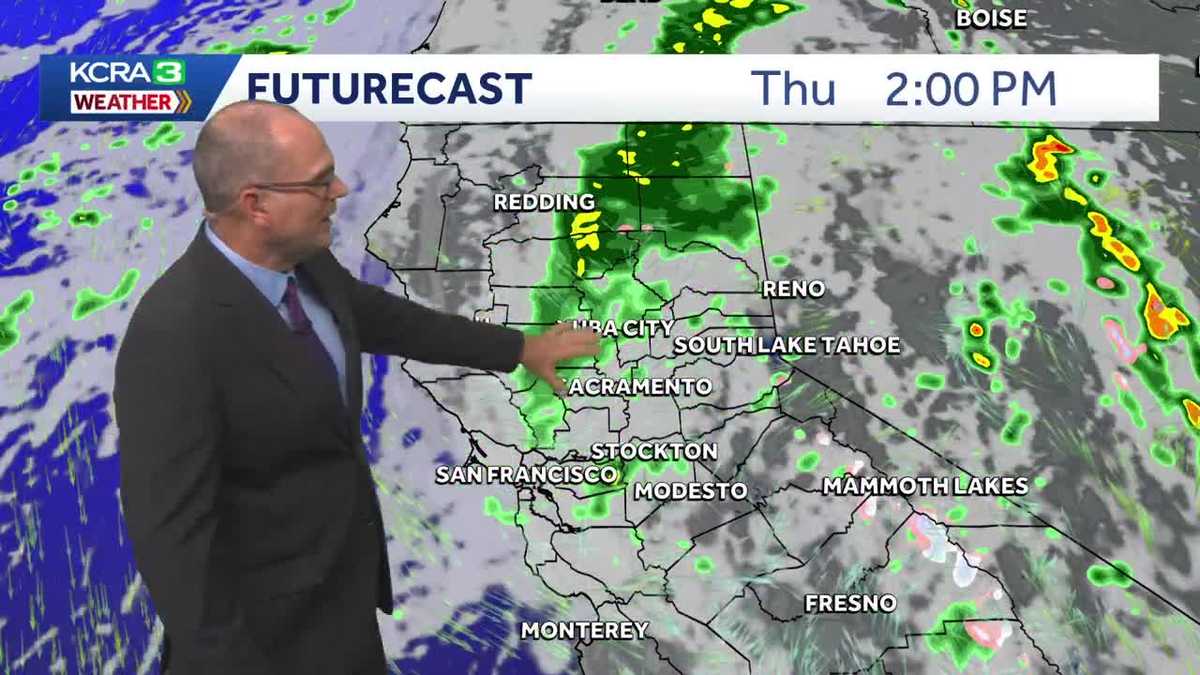 Rain is in the forecast for NorCal this week. Here's how much could fall.
Much cooler air moved in to start the week and rain chances will begin soon. A Pacific storm system is bringing fall-like weather to Northern California as it drops south along the West Coast. Cooler temperatures…
-
 Big weather change ahead: goodbye 90's, hello... rain!
KMPH Fox 26 Are you ready? Because our weather is about to change in a big way We've already said goodbye to the triple digits for the year, and it's now looking like Sunday will be the last of the 90's for 2026 Rain is…
-
 ‘Danger zone’: These 5 US states are about to be hit hardest by El Niño, experts warn
Expect wildfires, floods and storms The world is entering a “danger zone of extreme weather” as the El Niño weather phenomenon starts to be felt, UN chief António Guterres recently said. His warnings have been echoed by…
-
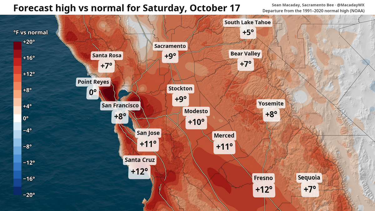 High temps in Fresno to fall 20 degrees this week. What to expect in Central Valley and state
Despite chilly weekend mornings, the high temperature in Fresno is expected to touch 90 Saturday and then fall to 70 by Wednesday. The topsy-turvy weather and winds can be a calling card of mid-October. After a brief…
- Wind, cooldown and rain? What to expect this weekend and beyond in NorCal weather
Despite a breeze, this weekend is set to be the warmest stretch for the foreseeable future. Those factors will provide some fire risk before temperatures tumble and a window for rain opens next week. It’s a great…
- Fresno Warming Trend Sends Weekend Highs Toward 90
Overnight lows will remain relatively comfortable, ranging from the mid-50s Thursday night to around 60 Friday and Saturday nights. Rain is not expected through Sunday, making for a dry run of weather across Fresno and…
-
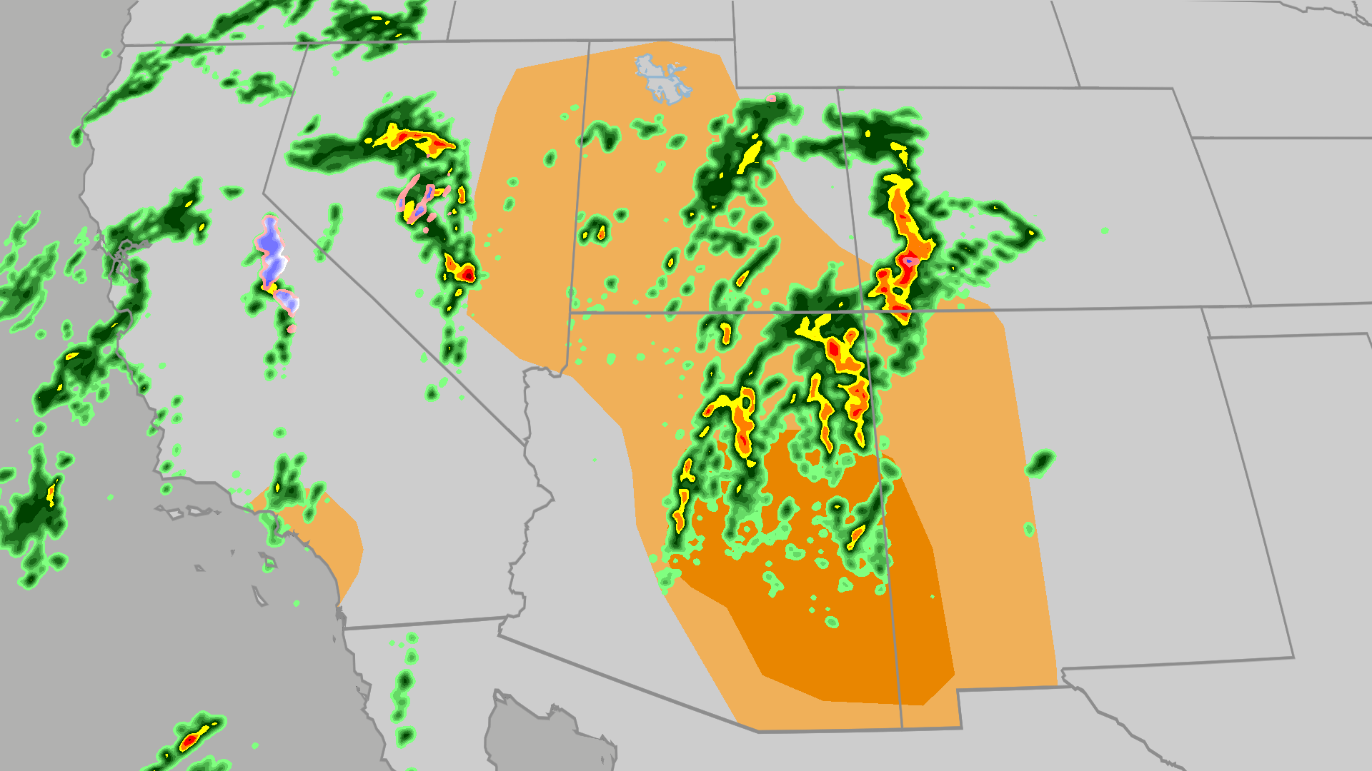 Severe weather, flood risk across Four Corners, California
The Weather Channel Tornadoes, flooding, large hail possible in Four Corners, California Parts of the Four Corners and Southern California face an elevated risk of severe weather on Thursday, which includes the…
-
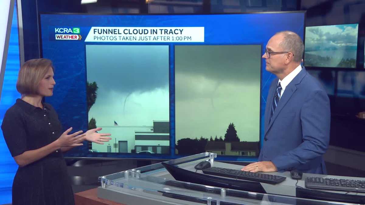 California weather with Dirk & Heather: How much rain did we get?
KCRA California weather with Dirk & Heather: How much rain did we get? Scattered showers and thunderstorms have brought beneficial rain to many places across the state. Scattered showers and thunderstorms have brought…
-
 Southern California weather — Fall Storm Brings Thunderstorms and Flood Advisories
A recent Southern California weather system driven by an autumn storm is continuing to bring thunderstorms, lightning, and heavy rain to the region. With localized downpours expected, authorities have issued strict…
-
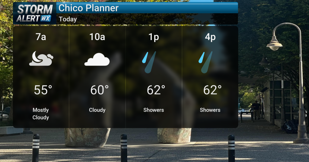 Showery conditions, possible thunderstorms impact Northern California today
Cloudy skies are expected across Northern California today, bringing periods of rain and a chance of thunderstorms later in the day. Highs will reach the mid-60s with winds from the south between 10 and 15 mph. Rain and…
Air quality
Air quality is satisfactory, and air pollution poses little or no risk.
Forecast
- ThuModerate (69)
- FriModerate (58)
Fresno, CA reporting area · 2 hrs ago. Data from AirNow (EPA and its state, local and tribal partners); preliminary and subject to change.
Sun & moon
Nearby
Forecasters' discussion
From the National Weather Service office in HNX, issued 8 hrs ago
Key Messages
1. Chances for precipitation will remain in place through much of the day today. Localized heavy rain remains possible especially as we progress into the afternoon.
2. There is about a 30-45% chance for an additional tenth of an inch of rain throughout the most of the Central Valley. There will be more precipitation in the high Sierra with a 60-80% chance of at least a quarter of an inch of rainfall.
3. There is a 25-40% chance of at least 2 inches of additional snowfall above 8,0000 feet along the high Sierra (probabilities increase further at higher elevations) through this evening.
4. Temperatures will warm up to near average this weekend with dry conditions in place after today.
Discussion
A strong trough with a closed low is set up directly over our area now. Precipitation chances will therefore persist throughout the day today, while being less widespread than yesterday. There is currently steady rainfall over southeastern Kern County and within the Mojave Desert, an area we are monitoring closely with that region particularly prone to flooding. In addition, steady rainfall was recently observed over the foothills and along the Sierra Nevadas. There is the potential for rainfall through at least tonight within our area. The probability of thunderstorms today is at around 10-20% throughout the entire region. In terms of additional rainfall totals, there is 30-45% chance for an additional tenth an inch of rainfall through most of the Central Valley. Mostly light to moderate precipitation will be present within our area but some localized pockets of heavy rainfall and thunderstorms can not be ruled out as rainfall continues to move off the Pacific Ocean and into our region. In terms of snowfall in the high Sierra there is a 25-40% chance for at least 2 inches of additional snowfall above 8,000 feet. More snowfall is possible above 10,000 feet with a 40-60% chance for at least 4 inches.
The majority of the rainfall will move out of our region by late tonight with tomorrow remaining dry and cool throughout the Central Valley. With the potential for some clearing overnight after rainfall today some localized pockets of fog and reduced visibilities are possible tomorrow (low confidence). There is also a possibility for some localized rainfall and snowfall along the Sierra Nevada mountains (15-25%) tomorrow mostly in the morning into early afternoon hours (little to no accumulation is likely). Temperatures will also remain well below average tomorrow with the probability of temepratures above 70 degrees at around 30-45% across much of the valley. Warmer weather with temperatures near average will move into place this weekend with a weak ridge of high pressure moving into our area. The probability of temperatures above 78 degrees will be at around 65-80% throughout much of the valley on Sunday and Monday. Dry conditions are also expected this weekend through at least the middle of next week.
The majority of ensemble members are in agreement that a trough will move into our region by the middle to end of next week. With the trough moving in there is the potential for rainfall next weekend, or Halloween weekend, with potential wet conditions for Halloween festive activities. However, this is a long way out with low confidence, and as of now the probability of at least a tenth of an inch of rainfall is at about 30-45% across much of the region. The Climate Prediction Center (CPC) has our region with near normal temperatures in the 6-10 Day Outlook and 50-70% chance for above normal precipitation. Similar conditions are also present in the 8-14 Day Outlook.
Aviation
MVFR conditions with IFR at times are possible with localized thunderstorms. Isolated thunderstorms have a 10-20 percent chance to develop through 03Z Friday. With any thunderstorms that do potentially develop there is the possibility for strong winds. After this evening conditions are expected to improve near and around airports. Otherwise, VFR conditions will prevail for the next 24 hours.
Air Quality Issues
None.
Forecasts, observations and alerts in the United States come from the National Weather Service (NOAA); radar from NOAA's Multi-Radar Multi-Sensor system; satellite imagery from NASA's Global Imagery Browse Services (GIBS) and NOAA's GOES satellites; the map from the U.S. Geological Survey's National Map; air quality from AirNow (EPA and its partners); hurricane information from the National Hurricane Center; climate normals and records from NOAA's Regional Climate Centers (ACIS). Forecasts outside the United States and the UV index: MET Norway (CC BY 4.0); observations outside the U.S.: airport reports via NOAA's Aviation Weather Center. Place names: GeoNames (CC BY 4.0). Data are copied on a schedule and may lag the sources; for warnings that affect your safety, follow your local National Weather Service office and emergency officials. Weather news is drawn from the 4Search index and reflects what the press published. Terms of use.