Install
San Diego, CA 92145 Weather
Current conditions
Observed at MIRAMAR EAST · 1 hr ago
Forecast
10-day-
Today
Showers and thunderstorms likely after 5pm. Mostly sunny, with a high near 79. South wind 5 to 15 mph, with gusts as high as 25 mph. Chance of precipitation is 60%. New rainfall amounts less than a tenth of an inch possible.
-
Tonight
Showers and thunderstorms. Cloudy, with a low around 61. Southeast wind 5 to 10 mph. Chance of precipitation is 80%. New rainfall amounts between a quarter and half of an inch possible.
-
Thursday
Rain showers. Mostly cloudy, with a high near 68. West wind 5 to 10 mph. Chance of precipitation is 80%. New rainfall amounts between a quarter and half of an inch possible.
National Weather Service forecast updated 7 hrs ago.
Hourly
Hourly forecast- Now73°
- 11 AM78°12%
- 12 PM78°12%
- 1 PM78°12%
- 2 PM77°12%
- 3 PM76°12%
- 4 PM75°12%
- 5 PM72°55%
- 6 PM70°55%
- 7 PM68°55%
- 8 PM67°55%
- 9 PM66°55%
- 10 PM66°55%
- 11 PM65°82%
- Thu12 AM63°82%
- 1 AM63°82%
- 2 AM63°82%
- 3 AM63°82%
- 4 AM62°82%
- 5 AM62°83%
- 6 AM61°83%
- 7 AM61°83%
- 8 AM62°83%
- 9 AM62°83%
Daily forecast
Details- TodayOct 21Mostly Sunny then Showers And Thunderstorms Likely83%61°79°
- ThuOct 22Rain Showers83%58°68°
- FriOct 23Mostly Sunny56°71°
- SatOct 24Sunny57°76°
- SunOct 25Sunny58°80°
- MonOct 26Sunny59°82°
- TueOct 27Mostly Sunny59°81°
- WedOct 28Cloudy52°76°
- ThuOct 29Mostly sunny52°77°
Days after the National Weather Service's seven are MET Norway's outlook, a computer model with no forecaster's review.
Radar
Full mapWeather news near San Diego
More weather news-
 Beach hazards statement affecting Orange County Coast and San Diego County Coastal Areas until Tuesday morning
Orange County Coast and San Diego County Coastal Areas are included in an updated beach hazards statement released by the National Weather Service on Tuesday at 1:29 p.m. The statement is in effect until 11 p.m. Orange…
-
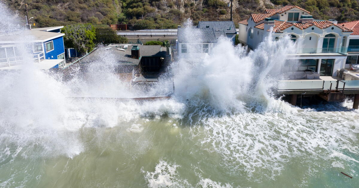
 Storms descend on Southern California, raising risk of dangerous surf, flooding, debris flows
Rain is anticipated for Southern California on Wednesday into Thursday as the National Weather Service cautioned about potential beach hazards and thunderstorms from Oxnard to the Mexico border. The weather service's…
-
 California's rainy season to arrive with flood threat, tornado risk and Sierra snow
California's wet season is starting off with a bang. The first significant storm of the season is forecast to bring heavy rain to vulnerable burn scars near Big Sur, coastal tornado risk to the Los Angeles area, and a…
-
 Rain and Thunderstorms Expected in Southern California with Beach Hazard Warnings
At SSBCrack News, our dedicated editorial team brings you the latest and most reliable updates on Defence, Geopolitics, Military Affairs, Science, and Technology. Driven by a passion for national security and strategic…
-
 Cool weather and rain on tap for San Diego County this week
A north Pacific storm that’s drawing moisture from distant Tropical Storm Trudy will spread across San Diego County late Tuesday night and drop a half-inch or more of precipitation through Friday, the National Weather…
-
 Cooler Weather, Mid-Week Rain Expected Across San Diego County
SAN DIEGO, CA — San Diego County is expected to transition from unseasonably warm weather to cooler conditions and periods of rain this week as a low-pressure system moves in from the northwest, forecasters said Sunday…
-
 Cool Fall-Like Temperatures Expected This Week
A low-pressure system is expected to reach the coast by Tuesday evening, bringing rain to Southern California • 1 hour ago Southern Californians will finally get a break from heat waves, with cooler, fall-like…
- These Are the States With the Best Weather Year-round
California and Hawaii are strong contenders for the best weather in the U.S. year-round. Coastal California offers comfortable temperatures with limited seasonal swings; Hawaii delivers consistent coastal warmth. But…
- A wave of uncertainty: What the El Niño brings to the California coast
Beach closures, flooding neighborhoods, rising temperatures and high surf advisories: What else does this ongoing “Super” El Niño storm have in store for the California coast, and how will it permanently alter these…
- Beach hazards statement affecting San Diego County Coastal Areas and Orange County Coastal
On Sunday at 12:59 a.m. a beach hazards statement was issued by the NWS San Diego CA valid from 9 a.m. until Tuesday 9 a.m. for San Diego County Coastal Areas and Orange County Coastal. "Dangerous rip currents and…
Air quality
Air quality is satisfactory, and air pollution poses little or no risk.
Forecast
- WedGood (46)
- ThuGood (44)
San Diego Mesa and Inland Valley, CA reporting area · 1 hr ago. Data from AirNow (EPA and its state, local and tribal partners); preliminary and subject to change.
Sun & moon
Almanac
MonthlySan Diego Area, records since 1874. Normals 1991–2020. Data from NOAA's Regional Climate Centers (ACIS).
Nearby
- Tijuana 44 km
- Chula Vista 28 km
- Oceanside 43 km
- Escondido 26 km
- Carlsbad 38 km
- El Cajon 17 km
- Vista 37 km
- Rosarito 59 km
- San Marcos 29 km
- Tecate 57 km
- Encinitas 24 km
- National City 23 km
Forecasters' discussion
From the National Weather Service office in SGX, issued 5 hrs ago
Synopsis
A low pressure system moving southward off the California coast will bring general cooling through Thursday. It is also expected to produce showers and a slight chance of thunderstorms for late today through Thursday as it moves inland through California into Nevada. Warmer and drier for the weekend. Offshore flow on Saturday could produce gusty northeast to east winds in and below mountain passes and canyons as well as the Inland Empire corridor between the Cajon Pass and the Santa Ana Mountains. The offshore flow weakens for Sunday into early next week.
Aviation
211130Z...SCT-BKN cloud layers around 2000 and 8000 feet MSL will continue into the afternoon. A band of RA/SHRA will move west to east through the region 21-06Z. Cigs will drop to 2500-3500 feet MSL and vis 3-6SM during this band's passage. A few embedded +SHRA/TSRA could produce brief and local IFR conditions. Winds shift from south to southwest and cigs lift to about 3000 feet MSL as the precip band passes after 11Z Thursday followed by SHRA.
Marine
A storm system will move through the coastal waters this afternoon through early Thursday. Southerly winds today will shift to southwest tonight, then westerly Thursday, with occasional wind gusts exceeding 20 knots. There is a 15-25% chance of TSRA after 22Z into Thursday. No hazardous marine conditions are expected Thursday night through Sunday.
Skywarn
Skywarn activation is not requested. However weather spotters are encouraged to report significant weather conditions.
Forecasts, observations and alerts in the United States come from the National Weather Service (NOAA); radar from NOAA's Multi-Radar Multi-Sensor system; satellite imagery from NASA's Global Imagery Browse Services (GIBS) and NOAA's GOES satellites; the map from the U.S. Geological Survey's National Map; air quality from AirNow (EPA and its partners); hurricane information from the National Hurricane Center; climate normals and records from NOAA's Regional Climate Centers (ACIS). Forecasts outside the United States and the UV index: MET Norway (CC BY 4.0); observations outside the U.S.: airport reports via NOAA's Aviation Weather Center. Place names: GeoNames (CC BY 4.0). Data are copied on a schedule and may lag the sources; for warnings that affect your safety, follow your local National Weather Service office and emergency officials. Weather news is drawn from the 4Search index and reflects what the press published. Terms of use.