Install
Escondido, CA 92030 Weather
Current conditions
Forecast for this hour (no station report in the last two hours)
Forecast
10-day-
Today
Rain showers likely. Partly sunny, with a high near 68. West wind 0 to 10 mph. Chance of precipitation is 60%. New rainfall amounts between a quarter and half of an inch possible.
-
Tonight
A chance of rain showers. Mostly cloudy, with a low around 57. East wind 0 to 5 mph. Chance of precipitation is 40%. New rainfall amounts less than a tenth of an inch possible.
-
Friday
A slight chance of rain showers before 5pm. Mostly sunny, with a high near 70. South wind 0 to 5 mph. Chance of precipitation is 20%. New rainfall amounts less than a tenth of an inch possible.
National Weather Service forecast updated 6 hrs ago.
Hourly
Hourly forecast- Now62°62%
- 9 AM62°62%
- 10 AM63°62%
- 11 AM66°57%
- 12 PM66°57%
- 1 PM67°57%
- 2 PM67°57%
- 3 PM66°57%
- 4 PM66°57%
- 5 PM65°22%
- 6 PM63°22%
- 7 PM61°22%
- 8 PM60°22%
- 9 PM60°22%
- 10 PM59°22%
- 11 PM59°42%
- Fri12 AM58°42%
- 1 AM58°42%
- 2 AM58°42%
- 3 AM58°42%
- 4 AM58°42%
- 5 AM57°17%
- 6 AM57°17%
- 7 AM57°17%
Daily forecast
Details- TodayOct 22Rain Showers Likely62%57°68°
- FriOct 23Slight Chance Rain Showers23%55°70°
- SatOct 24Sunny57°76°
- SunOct 25Sunny58°79°
- MonOct 26Sunny58°82°
- TueOct 27Sunny58°82°
- WedOct 28Mostly Sunny58°79°
- ThuOct 29Cloudy53°73°
- FriOct 30Mostly clear57°73°
Days after the National Weather Service's seven are MET Norway's outlook, a computer model with no forecaster's review.
Radar
Full mapWeather news near Escondido
More weather news- Weather Today
Weather Forecast and Conditions for Puerto Escondido, 71984, Oaxaca, Mexico - The Weather Channel | Weather.com The Weather Channel Puerto Escondido, 71984, Oaxaca, Mexico Puerto Escondido Daily Forecast
-
 New storm moves into Southern California: What to expect
A new storm is moving into Southern California Wednesday. Here is what to expect: Moderate rain is in the forecast from Wednesday late morning to Thursday afternoon, according to the National Weather Service. The…
-
 Ventura County sees steady rain as storm moves into Southern California
VENTURA, Calif. (KABC) -- Ventura County was among the first areas in Southern California to see rainfall Wednesday, with rain beginning around 8:30 a.m. The rain was visible along the northbound 101 Freeway in…
-
 Widespread rain expected to drench parts of Southern California as storm moves into region
October 21, 2026 / 6:42 AM PDT / CBS LA A low-pressure system from the Pacific Northwest is moving south and it is expected to bring widespread rain to Southern California on Wednesday afternoon. The rain will continue…
-
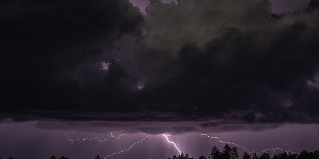 Rare severe storm threat targets Southern California while Arizona faces potential egg-sized hail, tornadoes
FLAGSTAFF, Ariz. — Severe thunderstorms blasted parts of Arizona early Wednesday ahead of a rare severe weather threat that will intensify through the day and into the evening. Parts of the state, including Flagstaff…
-
 Shower chances and cooler temperatures in Northern California
Action News Now Cloudy conditions and a chance of rain showers are in the forecast for Northern California today. Widespread precipitation will continue through Thursday, with temperatures cooler than normal this week…
-
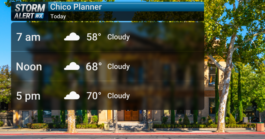 Showery conditions expected today across Northern California
Action News Now Cloudy conditions are expected across Northern California today, bringing a slight chance of rain showers and highs in the mid-70s. Widespread precipitation is anticipated to develop late today and…
-
 October Storm Threatens Southern California With Up to 2 Inches of Rain
Southern California could receive up to 2 inches of rain as an October storm moves along the California coast and heads inland Wednesday and Thursday, October 21-22, 2026. The National Weather Service warned that…
-
 California's rainy season to arrive with flood threat, tornado risk and Sierra snow
California's wet season is starting off with a bang. The first significant storm of the season is forecast to bring heavy rain to vulnerable burn scars near Big Sur, coastal tornado risk to the Los Angeles area, and a…
-
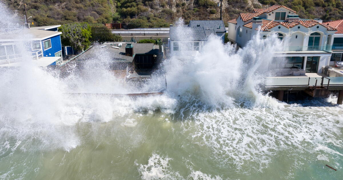 Rain and Thunderstorms Expected in Southern California with Beach Hazard Warnings
At SSBCrack News, our dedicated editorial team brings you the latest and most reliable updates on Defence, Geopolitics, Military Affairs, Science, and Technology. Driven by a passion for national security and strategic…
Air quality
Air quality is satisfactory, and air pollution poses little or no risk.
Forecast
- ThuGood (41)
- FriGood (42)
San Diego Mesa and Inland Valley, CA reporting area · 1 hr ago. Data from AirNow (EPA and its state, local and tribal partners); preliminary and subject to change.
Sun & moon
Nearby
- San Diego 45 km
- Chula Vista 53 km
- Oceanside 29 km
- Carlsbad 25 km
- Temecula 42 km
- Murrieta 50 km
- El Cajon 38 km
- Vista 17 km
- San Marcos 8 km
- San Clemente 60 km
- Encinitas 21 km
- National City 49 km
Forecasters' discussion
From the National Weather Service office in SGX, issued 6 hrs ago
Synopsis
Showers and a slight chance of thunderstorms will continue through today. There will be additional, mostly light showers for tonight, decreasing and ending from northwest late Friday afternoon. Southwest to west winds along the desert slopes of the mountains will gust to 40 to 50 mph through this afternoon. It will be dry and warmer for the weekend through Monday, then gradually cooler for next week with a chance of precipitation for late next week. Tides will increase over the weekend, remaining elevated through much of next week.
Aviation
220530Z...SCT SHRA and isolated TSRA will move through the region overnight through Thursday. Cigs down to 1500-2500 feet MSL and vis 3-5SM at times, such as in heavier SHRA or TSRA, otherwise bases will be 3000-4000 feet MSL. Partial obscuration of mountains, but improving vis there overnight. Onshore winds over higher terrain 25- 30 kts, creating MOD up/downdrafts in lee of ridges.
Marine
Occasional southwest wind gusts to exceed 20 knots through Thursday. Isolated thunderstorms are probable through Thursday. Any thunderstorm will produce lightning and intense rain, along with gusty winds and choppy seas. An isolated waterspout or two cannot be ruled out. No hazardous marine conditions are expected late Friday through Monday.
Beaches
Astronomical high tides will create minor to moderate coastal flooding once again starting Saturday. Tides are currently running 1.4-1.6 feet above predictions. Morning high tides could reach 7 feet Saturday morning and are likely to exceed 7.5 feet by Monday morning.
Forecasts, observations and alerts in the United States come from the National Weather Service (NOAA); radar from NOAA's Multi-Radar Multi-Sensor system; satellite imagery from NASA's Global Imagery Browse Services (GIBS) and NOAA's GOES satellites; the map from the U.S. Geological Survey's National Map; air quality from AirNow (EPA and its partners); hurricane information from the National Hurricane Center; climate normals and records from NOAA's Regional Climate Centers (ACIS). Forecasts outside the United States and the UV index: MET Norway (CC BY 4.0); observations outside the U.S.: airport reports via NOAA's Aviation Weather Center. Place names: GeoNames (CC BY 4.0). Data are copied on a schedule and may lag the sources; for warnings that affect your safety, follow your local National Weather Service office and emergency officials. Weather news is drawn from the 4Search index and reflects what the press published. Terms of use.