Install
Winnemucca, NV 89445 Weather
Current conditions
Observed at Winnemucca, Winnemucca Municipal Airport · 1 hr ago
Forecast
10-day-
Today
Isolated rain showers after 5pm. Mostly sunny, with a high near 72. East southeast wind around 5 mph.
-
Tonight
Isolated rain showers before 11pm. Mostly cloudy, with a low around 38. East northeast wind around 5 mph.
-
Wednesday
Isolated rain showers between noon and 2pm, then isolated showers and thunderstorms between 2pm and 5pm, then scattered showers and thunderstorms. Partly sunny, with a high near 71. East northeast wind around 5 mph. Chance of precipitation is 50%. New rainfall amounts less than a tenth of an inch possible.
National Weather Service forecast updated 7 hrs ago.
Hourly
Hourly forecast- Now63°
- 12 PM66°
- 1 PM69°
- 2 PM71°
- 3 PM71°
- 4 PM72°
- 5 PM70°15%
- 6 PM68°16%
- 7 PM64°17%
- 8 PM58°24%
- 9 PM56°23%
- 10 PM53°22%
- 11 PM51°11%
- Wed12 AM48°11%
- 1 AM47°12%
- 2 AM44°10%
- 3 AM45°12%
- 4 AM42°11%
- 5 AM41°10%
- 6 AM40°11%
- 7 AM39°11%
- 8 AM43°10%
- 9 AM49°11%
- 10 AM58°11%
Daily forecast
Details- TodayOct 20Mostly Sunny then Isolated Rain Showers24%38°72°
- WedOct 21Partly Sunny then Isolated Showers And Thunderstorms54%39°71°
- ThuOct 22Rain Showers77%34°61°
- FriOct 23Isolated Rain Showers then Mostly Sunny15%23°55°
- SatOct 24Sunny28°58°
- SunOct 25Mostly Sunny30°61°
- MonOct 26Mostly Sunny30°62°
- TueOct 27Cloudy38°64°
- WedOct 28Cloudy40°65°
Days after the National Weather Service's seven are MET Norway's outlook, a computer model with no forecaster's review.
Radar
Full mapWeather news in Nevada
More weather news-
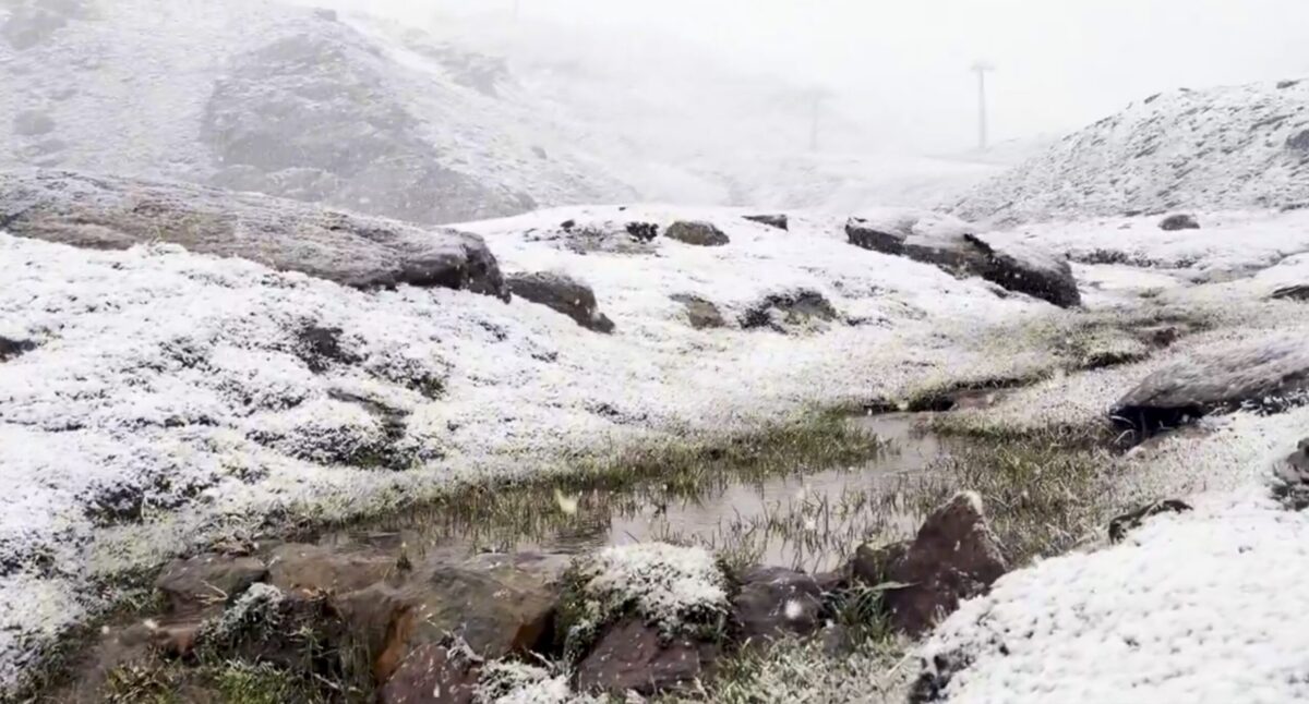 Sierra Nevada turns white early: First autumn snow hits peaks above Borreguiles
First snow of the season in Sierra Nevada. Credit: SN X First proper snow of the autumn has arrived on Sierra Nevada’s high ground this weekend, turning upper slopes white just as the resort looks forward to the 2026/27…
-
 Sunshine, warmer temperatures continue across northern Nevada Saturday
A beautiful Friday evening from News4/FOX11's Porsche Reno SkyCam Saturday is shaping up to be a beautiful day across the Truckee Meadows, with plenty of sunshine and temperatures climbing into the upper 70s in Reno…
-
 A Beautiful Fall Weekend in Southern Nevada
KTNV Las Vegas TONIGHT: Clear Low: 62 ° Winds: NE 5-10SATURDAY: Partly cloudy High: 79° Winds: NE 5-15SUNDAY: Sunny High: 79° Winds: Light NEFridayâs HaikuClear and cool tonightA beautiful fall weekendHighs around…
-
 Gusty North Winds Continue in Southern Nevada
ktnv.com Gusty North Winds Continue in Southern Nevada
-
 Drought Status Update for California-Nevada
NIDIS and its partners will issue future drought status updates as conditions evolve. Water Year 2026 Recap: Near-Normal Precipitation and a Warm Water Year Caused Mixed Drought Conditions This update is based on data…
-
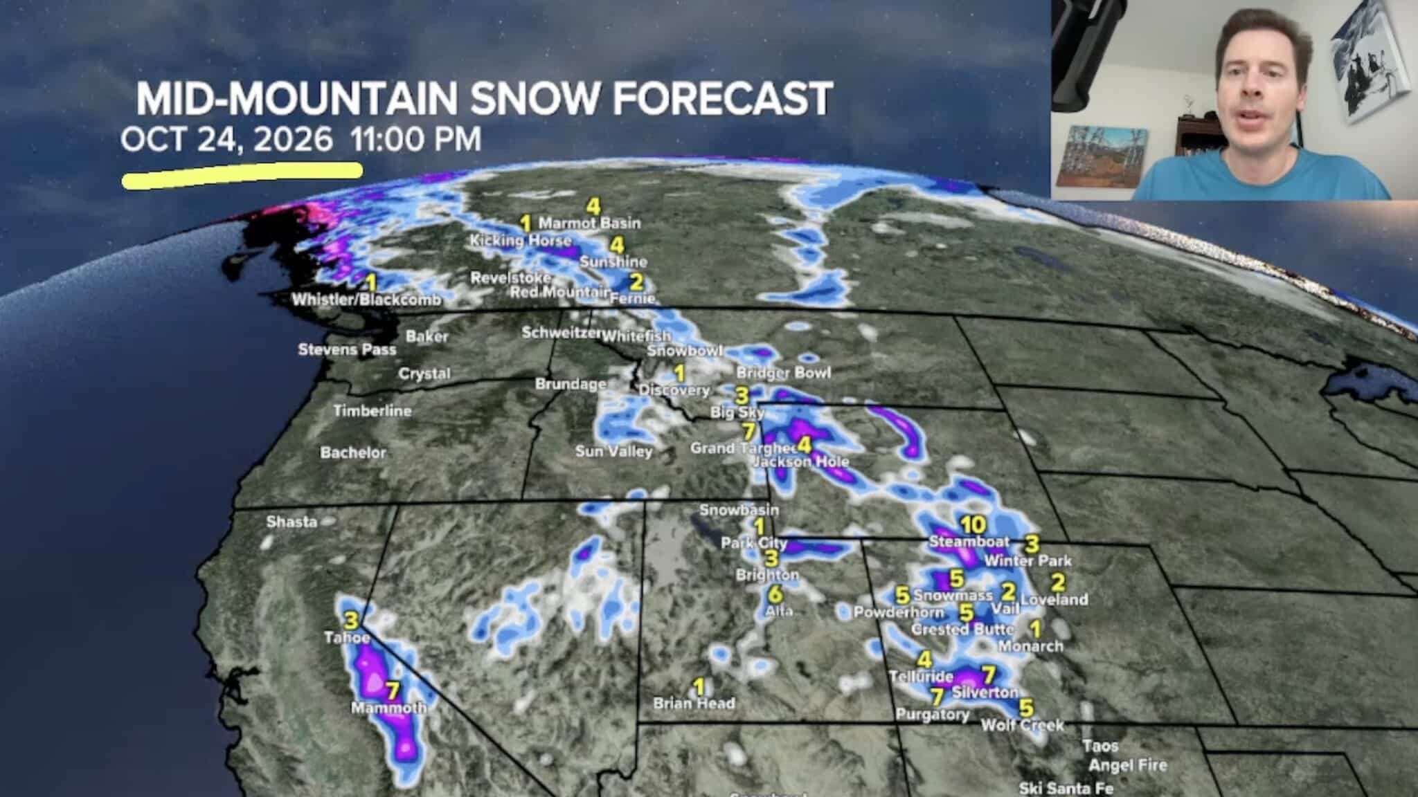 Sierra Nevada, Colorado, and Wyoming Could See A Lot More Snow Next Week
The Sierra Nevada is positioned to receive some of the highest snowfall totals in Tomer’s latest forecast. The incoming storm is expected to dig south into California, generating snowfall across the High Sierra. Tomer…
-
 America’s Most Turbulent Flights Come From Utah & Nevada!
If you fly between Salt Lake City and Denver, buckle up. Six of America's ten roughest flight routes involve Utah or Nevada, where the Rocky Mountains and strong winds create consistent turbulence for travelers…
- Moisture From Hurricane Rachel Brought Measurable Snowfall to the Sierra Nevada
As Hurricane Rachel transitioned to a tropical storm and hooked toward Southern California, the system’s remnants coincided with a cold low-pressure system, bringing an early season dusting of snow to the Sierra Nevada…
-
 Dangerous Freeze Warnings Issued for Nevada, Idaho and Utah as Temperatures Plummet
Freeze Warnings are in effect tonight across parts of Utah, Nevada and Idaho, with lows in the mid to upper 20s on the Snake River Plain around Idaho Falls and Pocatello, and 28 in Lincoln County, Nevada. The warnings…
-
 Warm spell returns to Nevada County amid fire danger, power outage concerns
Due to an offshore wind event and elevated fire weather conditions, PG&E is warning customers of a potential statewide Public Safety Power Shutoff (PSPS) event that could begin as early as Wednesday, October 14, and…
Sun & moon
Almanac
MonthlyWinnemucca Area, records since 1877. Normals 1991–2020. Data from NOAA's Regional Climate Centers (ACIS).
Forecasters' discussion
From the National Weather Service office in LKN, issued 9 hrs ago
Key Messages
* Periods of valley rain and mountain snow Tuesday thru Friday.
* Isolated thunderstorms expected each afternoon Tuesday thru Thursday.
* Cooler the latter half of the week and this weekend.
Discussion
(Today through next Tuesday)
WEATHER PATTERN OVERVIEW: Deep upper level low pressure continues to circulate off the California coast this morning and moisture from the south will continue to push north. Favorable dynamics will produce isolated to scattered showers with the likelihood of a few rumbles of thunder by this afternoon, primarily within central Nevada and portions of eastern Nevada as activity moves in from the south as indicated. Forecast surface- based CAPE values will be in the 100 to perhaps 150J/kg range with weak instability denoted by slightly negative lifted indicies. Daytime high temperatures will be in the low 60s to low 70s with overnight lows primarily in the 30s.
Wednesday thru Friday, the upper closed low will slowly and gradually move inland on Wednesday. From here, latest numerical model solutions indicate that the low will weaken into an open wave and cross into southern and central Nevada Thursday and Friday with the trof axis situated directly over Nevada Thursday night. Model trends have been consistent in showing this to be a warm storm with snow levels above 8000 feet. Rainfall amounts in the valleys Wednesday thru Friday remain relatively robust at around a half- inch with some valley accumulations nearing an inch within portions of central Nevada. Daytime high temperatures during this period will be warm on Wednesday with readings still in the low 60s to low 70s, but cooling around ten degrees by Thursday with low 50s to low 60s forecast. Temperatures will be a few more degrees cooler Friday. Winds will be breezy to locally windy each afternoon, especially in central Nevada where gusts to 30-40 mph are expected. Overnight lows cool to the mid 20s to mid 30s for Thursday night, becoming mid teens to mid 20s by Friday night.
The upper system is expected to shift east and out of the forecast area Saturday with dry conditions expected into early next week. Temperatures warm a few degrees thru the weekend, residing near seasonal normals early next week.
FORECAST CONFIDENCE & DEVIATIONS: Significant changes to PoP and weather fields thru the short term. Confidence in the short term forecast remains high, though there are slight differences in the timing and location of convective activity Tuesday and Wednesday.
Aviation
-SHRA and/or VCSH will be forecast at all terminals beginning today as active weather moves in from the south. That said, CIGS are expected to remain within VFR category. Lower confidence in TS impacting any terminals this afternoon with the best potential being at KTPH, KELY, and KENV. Will likely include a PROB30 group for TS at the mentioned terminals in the TAF as TS will most likely be present within the broader area. Winds will become breezy to locally windy as well, primarily across the central Nevada terminals with gusts around 25KT.
Fire Weather
An upper level system will slowly move into the Great Basin from the west, bringing rain showers and mountain snow to all FWZs. Light showers begin to move into central Nevada from the south this afternoon with isolated thunderstorms also forecast, primarily within FWZs 426, 427, 425, 469, and 470. Shower and afternoon thunderstorm activity is expected to increase Wednesday and Thursday before dissipating from west to east Friday, eventually exiting Nevada Friday night. Widespread wetting rains are expected over the four day period and valley rainfall accumulations will be greatest within central Nevada with valley locations forecast to receive between one- half inch and one inch. Rainfall accumulations will be greatest on Thursday as the upper level system passes overhead. Breezy to locally windy conditions can also be expected each afternoon thru Friday, especially in central Nevada where gusts as high as 30-40 mph are expected. Cooler temperatures will be in place beginning Thursday and thru the weekend. Weather will be dry and generally fair this weekend.
Forecasts, observations and alerts in the United States come from the National Weather Service (NOAA); radar from NOAA's Multi-Radar Multi-Sensor system; satellite imagery from NASA's Global Imagery Browse Services (GIBS) and NOAA's GOES satellites; the map from the U.S. Geological Survey's National Map; air quality from AirNow (EPA and its partners); hurricane information from the National Hurricane Center; climate normals and records from NOAA's Regional Climate Centers (ACIS). Forecasts outside the United States and the UV index: MET Norway (CC BY 4.0); observations outside the U.S.: airport reports via NOAA's Aviation Weather Center. Place names: GeoNames (CC BY 4.0). Data are copied on a schedule and may lag the sources; for warnings that affect your safety, follow your local National Weather Service office and emergency officials. Weather news is drawn from the 4Search index and reflects what the press published. Terms of use.