Install
Laughlin, NV 89029 Weather
Current conditions
Observed at Needles, Needles Airport · 44 min ago
Forecast
10-day-
Tonight
Mostly clear, with a low around 71. North wind around 5 mph.
-
Wednesday
Isolated showers and thunderstorms after 5pm. Sunny. High near 87, with temperatures falling to around 85 in the afternoon. Southwest wind 2 to 20 mph, with gusts as high as 32 mph.
-
Wednesday Night
Scattered showers and thunderstorms. Partly cloudy, with a low around 71. South wind 5 to 14 mph, with gusts as high as 24 mph. Chance of precipitation is 30%.
National Weather Service forecast updated 10 hrs ago.
Hourly
Hourly forecast- Now78°
- Wed12 AM78°
- 1 AM76°
- 2 AM75°
- 3 AM74°
- 4 AM73°
- 5 AM72°
- 6 AM72°
- 7 AM71°
- 8 AM72°
- 9 AM73°
- 10 AM77°
- 11 AM80°
- 12 PM84°
- 1 PM85°11%
- 2 PM85°
- 3 PM87°
- 4 PM85°
- 5 PM85°13%
- 6 PM84°13%
- 7 PM82°14%
- 8 PM81°16%
- 9 PM79°
- 10 PM78°
10-day forecast
Details- TonightOct 20Mostly Clear71°
- WedOct 21Sunny then Isolated Showers And Thunderstorms34%71°87°
- ThuOct 22Scattered Showers And Thunderstorms44%61°80°
- FriOct 23Sunny62°76°
- SatOct 24Sunny62°77°
- SunOct 25Sunny63°78°
- MonOct 26Sunny63°80°
- TueOct 27Sunny79°
- WedOct 28Cloudy66°81°
- ThuOct 29Cloudy66°83°
Days after the National Weather Service's seven are MET Norway's outlook, a computer model with no forecaster's review.
Radar
Full mapWeather news near Laughlin
More weather news-
 Strong wind, chilly temperatures headed to western North Carolina this weekend
President Trump delivers remarks at a Midterm Rally at Laughlin/Bullhead International Airport in Bullhead City, Arizona. ASHEVILLE, N.C. (WLOS) — The Western Carolinas are set to experience a weather whiplash this…
-
 Frost and Freeze Alerts end this morning before temperatures climb
President Trump delivers remarks at a Midterm Rally at Laughlin/Bullhead International Airport in Bullhead City, Arizona. BOISE, Idaho (CBS2) — A cold start brings frost and freezing temperatures to parts of southwest…
-
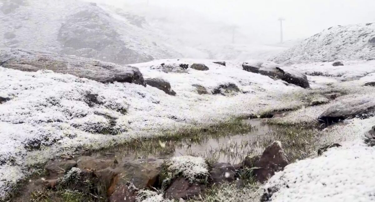 Sierra Nevada turns white early: First autumn snow hits peaks above Borreguiles
First snow of the season in Sierra Nevada. Credit: SN X First proper snow of the autumn has arrived on Sierra Nevada’s high ground this weekend, turning upper slopes white just as the resort looks forward to the 2026/27…
-
 Sunshine, warmer temperatures continue across northern Nevada Saturday
A beautiful Friday evening from News4/FOX11's Porsche Reno SkyCam Saturday is shaping up to be a beautiful day across the Truckee Meadows, with plenty of sunshine and temperatures climbing into the upper 70s in Reno…
-
 A Beautiful Fall Weekend in Southern Nevada
KTNV Las Vegas TONIGHT: Clear Low: 62 ° Winds: NE 5-10SATURDAY: Partly cloudy High: 79° Winds: NE 5-15SUNDAY: Sunny High: 79° Winds: Light NEFridayâs HaikuClear and cool tonightA beautiful fall weekendHighs around…
-
 Gusty North Winds Continue in Southern Nevada
ktnv.com Gusty North Winds Continue in Southern Nevada
-
 Drought Status Update for California-Nevada
NIDIS and its partners will issue future drought status updates as conditions evolve. Water Year 2026 Recap: Near-Normal Precipitation and a Warm Water Year Caused Mixed Drought Conditions This update is based on data…
-
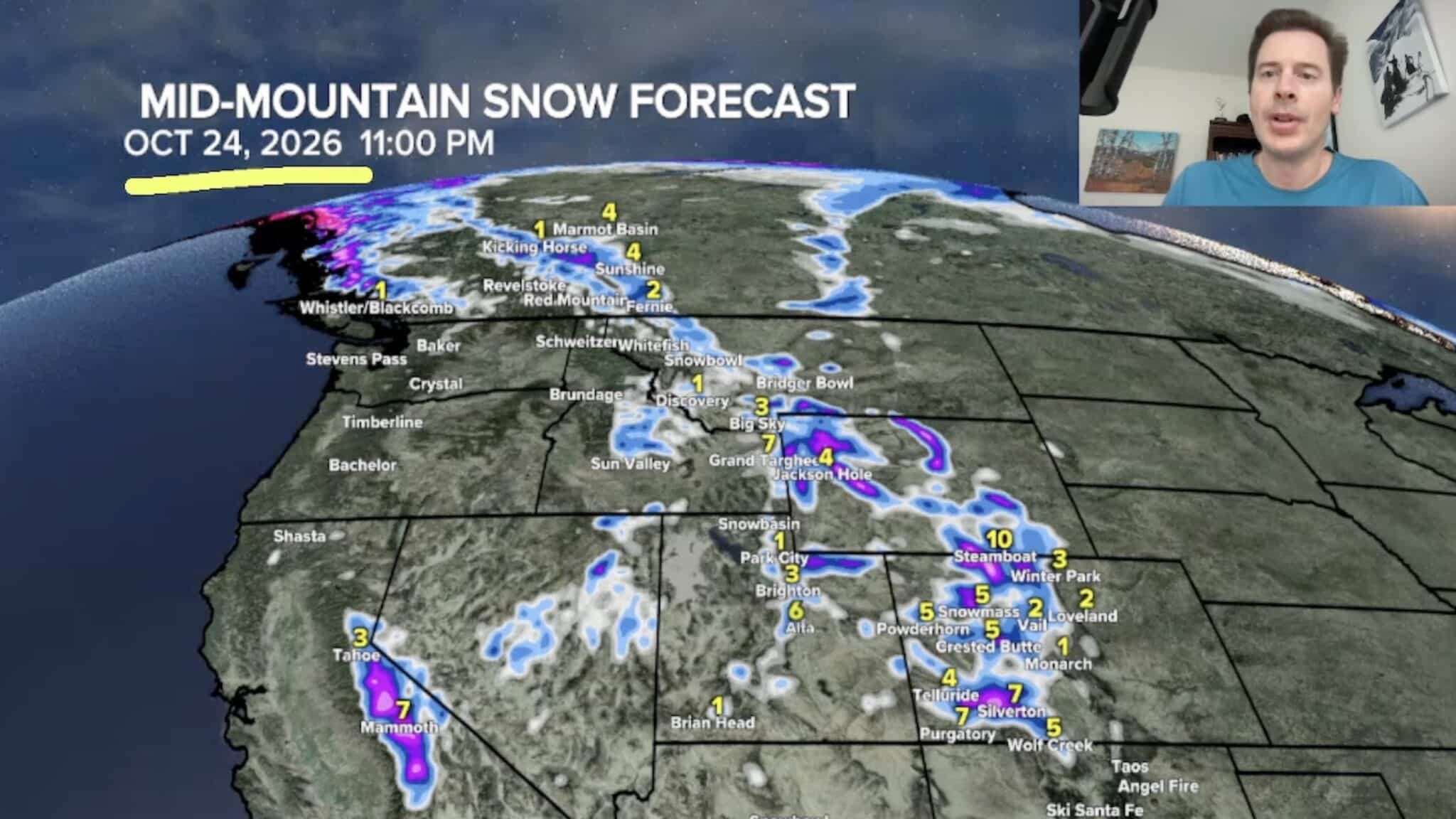 Sierra Nevada, Colorado, and Wyoming Could See A Lot More Snow Next Week
The Sierra Nevada is positioned to receive some of the highest snowfall totals in Tomer’s latest forecast. The incoming storm is expected to dig south into California, generating snowfall across the High Sierra. Tomer…
-
 America’s Most Turbulent Flights Come From Utah & Nevada!
If you fly between Salt Lake City and Denver, buckle up. Six of America's ten roughest flight routes involve Utah or Nevada, where the Rocky Mountains and strong winds create consistent turbulence for travelers…
- Moisture From Hurricane Rachel Brought Measurable Snowfall to the Sierra Nevada
As Hurricane Rachel transitioned to a tropical storm and hooked toward Southern California, the system’s remnants coincided with a cold low-pressure system, bringing an early season dusting of snow to the Sierra Nevada…
Sun & moon
Almanac
MonthlyBullhead City, records since 1977. Normals 1991–2020. Data from NOAA's Regional Climate Centers (ACIS).
Nearby
- Bullhead City 6 km
- Kingman 53 km
- New Kingman-Butler 57 km
- Golden Valley 39 km
- Needles 32 km
- Mohave Valley 23 km
- Golden Shores 42 km
Forecasters' discussion
From the National Weather Service office in VEF, issued 1 hr ago
Key Messages
* Multiple rounds of rain and storms expected over the Sierra, Lower Great Basin and NW Arizona this afternoon through Thursday. Flash Flooding possible under repeated storm activity.
* Increasing confidence for a dry conditions and seasonable temperatures this weekend.
Discussion
Today through Next Monday.
An active weather pattern is setting up for the Desert Southwest this week as a strong trough slowly approaches the west coast impacting local weather through the end of the week. For this afternoon and tonight, mainly dry conditions expected for most desert valleys while the first round of the thunderstorms is expected over Inyo, southern Nye, and Esmeralda counties...more isolated convection possible in higher terrain further east. The entire area remains ahead of the approaching trough with strong upper level diffluence and enhanced lift from the left exit region of a 100 kt jet streak. Moisture advection northward is great for this time of year with PW of 0.7-1.00 inches engulfing the area. MUCAPE of 300-700 j/kg combined with 0-6km shear exceeding 50 kt will be more than sufficient for more organized clusters of showers and storms. DCAPE values 800-1000+ j/kg may also lead to a localized strong wind threat in a few storms this afternoon and evening on top of the heavy rain threat. Best forcing for ascent will be in the higher terrain of Inyo county and Death Valley, Southern and Western Nye County and Esmeralda County. At the moment confidence is not high enough in a widespread Flash Flood threat to warrant the issuance of any type of watch, however a low threat does exist in areas that see repeated rounds of storms. Lingering lighter shower activity may persist into the night due to such strong lift and upper level dynamics
For Wednesday the upper level low will be approaching the Central California Coast. Precipitation chances are higher across the board due to additional moisture and colder air aloft, but the same places will be favored in addition to Mohave County. A strong southerly 50kt low to mid level jet sets up bringing copious amounts of moisture northward into NW Arizona. As waves of energy rotate around the trough and into the region, expect showers and storms to begin developing early Wednesday morning across Mohave County and potentially Inyo and Esmeralda counties, with the most robust convection likely during the afternoon hours. Shear, instability, and moisture will be similar if not better than parameters on Tuesday, resulting in the same threat...flash flooding, gusty winds, heavy rain, and lightning. Highest confidence in any Flash Flooding is currently over Northern Mohave County where better lift and moisture availability should result in more robust storms; Therefore a Flash Flood Watch has been issued for that area Wednesday and Thursday. While showers and storms are expected Wednesday afternoon over Inyo, Esmeralda, and Nye counties, more isolated convective coverage should keep the flash flood threat lower. Outside of any convection, most of the Mohave Desert and its valleys should be fairly warm and dry with temperatures a few degrees above normal for this time of year.
Finally on Thursday, the upper low shifts inland into Central California and Nevada with the main vort max bringing widespread threat of showers and storms to much of the Lower great basin. Steep lapse rates and sufficient instability from cold air advection aloft will allow for convective showers and a few storms through the day on Thursday. This will likely be the best chance for any rainfall in the Mojave Desert valleys; however guidance has been consistent in showing a dry slot associated with the incoming trough keeping the majority of the precipitation away from the Mohave Desert and Colorado River Valley with a 40-70% chance of 0.10" of rain or less. Overall, best odds of precipitation impacts are in the southern Great Basin, Inyo County, and northern Mohave County where higher chances of total rainfall 1.00" exist. Outside of any storms, gusty south-southwest winds (20-40 mph) will accompany this system as well Thursday and Friday, but any impacts should be confined to the local lakes. Temperatures drop about 10 degrees from earlier in the week with widespread highs Thursday into the weekend in the 70s for desert valleys.
There is a minor wintry component of this system as snow levels bottom out around 8kft in the Sierra. However, precipitation will largely be done by the time colder air filters in , so any impacts are expected to be confined to elevations above 9kft where forecast snow totals range from 3-10" (the higher amounts near the crest).
By Saturday, ensemble guidance has the area firmly on the backside of the trough with a dry northerly flow that quickly scours out moisture and precipitation chances, and produces some gusty north winds. On Sunday and Monday, the flow weakens and becomes more zonal or southwesterly, keeping us dry with light winds and slightly below- normal temperatures.
Aviation
For Harry Reid...For the 06Z Forecast Package...Southwesterly winds persist overnight before favoring the east tomorrow morning, with speeds of 8 knots or less. Elevated southerly to southeasterly winds arrive by the afternoon, with peak gusts between 25 and 30 knots. Winds weaken after sunset and shift to the southwest overnight. Bases may lower to around 8kft on Wednesday night.
For the rest of southern Nevada, northwest Arizona and southeast California...For the 06Z Forecast Package...Southerly to southeasterly winds pick up across much of the area tomorrow afternoon, with peak gusts between 25 and 30 knots. These winds should weaken in the afternoon. Precipitation will stay out of the vicinity of most terminals, except for KBIH, where thunderstorm activity will pick up in the late morning and afternoon. The highest confidence for rainfall at the terminal is between 20Z and 24Z. Cloud bases lower to as low as 7kft tomorrow night in Owens Valley behind the thunderstorms.
Spotter Information Statement
Spotters are encouraged to report any significant weather or impacts according to standard operating procedures.
Forecasts, observations and alerts in the United States come from the National Weather Service (NOAA); radar from NOAA's Multi-Radar Multi-Sensor system; satellite imagery from NASA's Global Imagery Browse Services (GIBS) and NOAA's GOES satellites; the map from the U.S. Geological Survey's National Map; air quality from AirNow (EPA and its partners); hurricane information from the National Hurricane Center; climate normals and records from NOAA's Regional Climate Centers (ACIS). Forecasts outside the United States and the UV index: MET Norway (CC BY 4.0); observations outside the U.S.: airport reports via NOAA's Aviation Weather Center. Place names: GeoNames (CC BY 4.0). Data are copied on a schedule and may lag the sources; for warnings that affect your safety, follow your local National Weather Service office and emergency officials. Weather news is drawn from the 4Search index and reflects what the press published. Terms of use.