Install
Sierra Vista, AZ 85650 Weather
Current conditions
Forecast for this hour (no station report in the last two hours)
Forecast
10-day-
Friday Night
Mostly clear, with a low around 49. South southwest wind 2 to 8 mph.
-
Saturday
Sunny, with a high near 72. South southwest wind 5 to 14 mph.
-
Saturday Night
Mostly clear, with a low around 48.
National Weather Service forecast updated 1 day ago.
Hourly
Hourly forecast- Now64°
- 8 PM61°
- 9 PM58°
- 10 PM57°
- 11 PM56°
- Sat12 AM54°
- 1 AM53°
- 2 AM52°
- 3 AM51°
- 4 AM50°
- 5 AM50°
- 6 AM49°
- 7 AM51°
- 8 AM56°
- 9 AM60°
- 10 AM65°
- 11 AM69°
- 12 PM71°
- 1 PM72°
- 2 PM72°
- 3 PM72°
- 4 PM71°
- 5 PM69°
- 6 PM66°
10-day forecast
Details- ThuOct 22Slight Chance Showers And Thunderstorms14%55°80°
- TodayOct 23Sunny49°77°
- SatOct 24Sunny48°72°
- SunOct 25Sunny50°74°
- MonOct 26Sunny52°77°
- TueOct 27Sunny53°77°
- WedOct 28Mostly Sunny53°76°
- ThuOct 29Cloudy53°78°
- FriOct 30Showers0.17 in51°73°
- SatOct 31Light showers0.04 in51°71°
Days after the National Weather Service's seven are MET Norway's outlook, a computer model with no forecaster's review.
Radar
Full mapWeather news near Sierra Vista
More weather news-
 Southeastern Arizona urged to brace for powerful winds
Powerful winds are expected across southeastern Arizona beginning Thursday night, with gusts reaching up to 75 mph in some areas, the National Weather Service in Tucson says. A high wind warning will be in effect from…
-
 Happening Today: Noise expected in Sierra Vista due to training
KVOA Wind Advisory from THU 11:00 PM MST until SAT 11:00 AM MST Watch News 4 Tucson
-
 MOST ACCURATE FORECAST: Cooler, drier air settles into Arizona
PHOENIX — The powerful fall storm that brought severe weather to Arizona this week has moved out of the state. The storm system triggered 16 Tornado Warnings across Arizona on Wednesday and Thursday. A likely tornado…
-
 Severe weather is leaving Arizona. Here’s what to expect next
After several days of severe weather across Arizona, mainly quiet conditions return for Friday and the weekend. Ian Schwartz has your First Alert forecast. PHOENIX (AZFamily) — After several days of severe weather…
-
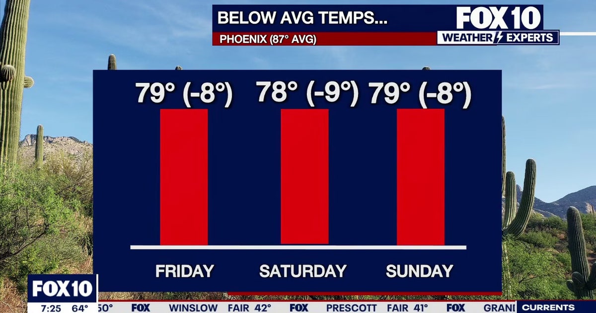 Arizona weather forecast: Cooler highs and sunny weekend skies in Phoenix
PHOENIX - Friday morning temperatures across Phoenix show most residents starting in the mid-to-upper 50s or low 60s. Wickenburg recorded upper 40s, while temperatures reached 59 degrees in Mesa, Phoenix-Mesa Gateway…
-
 MOST ACCURATE FORECAST: Tornado Watch for much of Arizona
PHOENIX — A powerful fall storm is moving through Arizona. Strong to severe storms are impacting parts of the state again Thursday. The storm threat shifts into eastern Arizona this afternoon before clearing out…
-
 After a stormy few days in Arizona, sunshine and fall temps return Friday
TUCSON, Ariz. (13 News) - Tornado Watch in Cochise, Graham, and Greenlee Counties until 8pm tonight. Severe weather potential remains this afternoon and evening throughout Arizona. A Flood Watch is still valid for our…
-
 Golf Ball-Sized Hailstones Pummel Parts of Arizona in Rare Storm
Tornado watches were issued for several areas—the first in Arizona since 2010. What would you like to watch today?
-
 Tornado Watch in effect for parts of southeast Arizona
TUCSON, Ariz. (13 News) - Another active day across the state. Main threat will be heavy rain, strong winds, hail, and potentially a tornado. A Tornado Watch has been issued for to Graham, Greenlee, and Cochise counties…
-
 Majority of Arizona under tornado watch as severe weather threat continues
PHOENIX (AZFamily) — A tornado warning has been issued for the Show Low area until 5:15 p.m. on Thursday afternoon. A tornado watch remains in effect for northern and eastern Arizona through 9 p.m. tonight. This…
Air quality
Air quality is satisfactory, and air pollution poses little or no risk.
Forecast
- FriGood (17)
- SatGood (16)
- SunGood (15)
Douglas, AZ reporting area · 2 hrs ago. Data from AirNow (EPA and its state, local and tribal partners); preliminary and subject to change.
Sun & moon
Almanac
MonthlyFort Huachuca Sierra Vista Municipal Ap, records since 1900. Normals 1991–2020. Data from NOAA's Regional Climate Centers (ACIS).
Nearby
Forecasters' discussion
From the National Weather Service office in TWC, issued 5 hrs ago
Synopsis
There will be a slight chance of showers and thunderstorms along the Arizona and New Mexico state line through mid-day Saturday. Dry conditions are then expected areawide Sunday into next week. High temperatures will be below normal into early next week, warming to near normal during the middle of next week.
Discussion
There's an old saying that was passed down to me from my grandma, "after a storm comes the calm." While today may not be entirely calm with a slight chance for light showers remaining along the Arizona/New Mexico border this afternoon, considerably quieter weather is in store for Southeast Arizona the next several days following our recent bout with turbulent weather.
The upper weather pattern this afternoon is defined by a mean trough across the NRN Intermountain West extending SSW into southern California...with the latest water vapor imagery indicating two distinct low centers across northern Nevada and central California. The recent GOES precipitable water imagery indicated a significant area of drier air has expanded into the area, with PWATs between 0.40 and 0.50 across Pima and Santa Cruz counties. Still some lingering moisture holding onto the Arizona/New Mexico border with PWATs ranging between 0.65 and 0.75 inches. This is supported by surface dewpoints early this afternoon, with values hovering from the mid 40s across far western Pima to the lower 50s in the Tucson Metro, and in the upper 50s in the Gila River Valley and along the AZ/NM state line. I would expect decent mixing this afternoon will bring the dewpoints in Tucson down into the mid 40s, but I am confident that higher moisture will persist out east, especially given the higher soil moisture content. The combination of weak mid- level lift east of the mean trough and this moisture along the AZ/NM border will result in a slight chance for light showers this afternoon, possibly persisting into mid-day Saturday. Otherwise, expect fair weather cumulus from Tucson east today and clear skies west.
The upper-low to our west eventually ejects NE this weekend with another kicker low developing along the Pacific Northwest coastline. Ensemble members are all over the place with regards to both the north/south and east/west position and movement of this feature with lots of variance evident on the Empirical Orthogonal Functions (EOF) of the GEFS/ENS/GEPS Sunday. In general we will see an upper-low develop, but the amplification and position will depend on the strength of the upper ridge building into the Gulf of Alaska. This has ramifications for what happens later next week, as both the deterministic GFS and ECMWF are trying to push a slug of subtropical moisture east toward the Desert Southwest next weekend. If the upper-low pattern remains an open wave for the majority of next week, we will see a strong zonal flow directing that moisture plume our way, possibly getting wrapped up ahead of the upper low as it swings into California. This potential heavy rainfall event is getting picked up by the grand ensemble of the NBM, with a 20-40 percent probability for a 48-hr rainfall in excess of an inch next Sunday and Monday (November 1-2) on the 23/12Z NBM run. Again, still a lot of variance in the early stages of this pattern setup, so my confidence is low on the timing and strengthof any pcpn event we may see (not this weekend but the next weekend).
Until then...enjoy the calm and take advantage of the beautiful weekend in store for Southeast Arizona.
Aviation
Valid through 25/00Z. SCT-BKN clouds at 5k-8k ft AGL east KTUS to the AZ/NM state line through mid-day Saturday. with a slight chance of -SHRA/-TSRA along the AZ/NM border. SFC wind southwest less than 12 kts west of KTUS, and 10-15 kts with gusts to 25 kts east of KTUS into this evening, then wind less than 12 kts and terrain driven overnight. Aviation discussion not updated for TAF amendments.
Fire Weather
High temperatures will be below normal through Monday, warming to near normal Tuesday and Wednesday of next week, then lowering back below normal by the end of next week. There will be a slight chance of showers and thunderstorms through mid-day Saturday along the Arizona and New Mexico state line and in the White Mountains. 20-foot winds will generally be 15 mph of less through at least the middle of next week. Minimum RH values will be in the 25-40 percent range in the valleys through Sunday (higher in the mountains), lowering into the 20-30 percent range next Monday through Wednesday.
Forecasts, observations and alerts in the United States come from the National Weather Service (NOAA); radar from NOAA's Multi-Radar Multi-Sensor system; satellite imagery from NASA's Global Imagery Browse Services (GIBS) and NOAA's GOES satellites; the map from the U.S. Geological Survey's National Map; air quality from AirNow (EPA and its partners); hurricane information from the National Hurricane Center; climate normals and records from NOAA's Regional Climate Centers (ACIS). Forecasts outside the United States and the UV index: MET Norway (CC BY 4.0); observations outside the U.S.: airport reports via NOAA's Aviation Weather Center. Place names: GeoNames (CC BY 4.0). Data are copied on a schedule and may lag the sources; for warnings that affect your safety, follow your local National Weather Service office and emergency officials. Weather news is drawn from the 4Search index and reflects what the press published. Terms of use.