Install
Douglas, AZ 85607 Weather
Current conditions
Forecast for this hour (no station report in the last two hours)
Forecast
10-day-
Today
A slight chance of showers and thunderstorms after 5pm. Partly sunny, with a high near 86. South southeast wind 6 to 9 mph. Chance of precipitation is 20%.
-
Tonight
A slight chance of showers and thunderstorms before 2am. Mostly cloudy, with a low around 62. East southeast wind around 5 mph. Chance of precipitation is 20%.
-
Thursday
A chance of showers and thunderstorms after 11am. Mostly cloudy. High near 83, with temperatures falling to around 78 in the afternoon. South southeast wind 3 to 20 mph. Chance of precipitation is 30%.
National Weather Service forecast updated 1 hr ago.
Hourly
Hourly forecast- Now83°
- 2 PM84°
- 3 PM84°
- 4 PM85°
- 5 PM83°21%
- 6 PM80°21%
- 7 PM78°21%
- 8 PM74°19%
- 9 PM72°19%
- 10 PM71°19%
- 11 PM70°20%
- Thu12 AM69°20%
- 1 AM68°20%
- 2 AM67°
- 3 AM66°
- 4 AM64°
- 5 AM64°10%
- 6 AM63°10%
- 7 AM62°10%
- 8 AM66°11%
- 9 AM71°11%
- 10 AM74°11%
- 11 AM77°31%
- 12 PM79°31%
Daily forecast
Details- TodayOct 21Partly Sunny then Slight Chance Showers And Thunderstorms21%62°86°
- ThuOct 22Chance Showers And Thunderstorms34%58°83°
- FriOct 23Sunny54°80°
- SatOct 24Sunny52°77°
- SunOct 25Sunny53°77°
- MonOct 26Sunny54°77°
- TueOct 27Sunny54°77°
- WedOct 28Sunny56°81°
- ThuOct 29Light showers0.05 in56°77°
Days after the National Weather Service's seven are MET Norway's outlook, a computer model with no forecaster's review.
Radar
Full mapWeather news near Douglas
More weather news-
 Rain chances continue this week before cool down this weekend
TUCSON, Ariz. (KGUN) — Southern Arizona is in for an unsettled week, with daily chances for showers and thunderstorms and the best odds for rain areawide arriving Wednesday afternoon and lasting into Thursday…
-
 History shows October storms can hit Arizona hard
KOLN | Nebraska Local News, Weather, Sports | Lincoln, NE History shows October storms can hit Arizona hard Vice President J.D. Vance has not yet arrived in North Platte, but his planned visit is already filling area…
-
 MOST ACCURATE FORECAST: Flood Watches across Arizona, strong to severe storms possible
PHOENIX — A powerful fall storm is moving into Arizona. It already gave us a preview. A severe storm dropped large hail from Chandler to Mesa Tuesday night. Winds will pick up, temperatures will drop and strong to…
- Severe weather chances increase in Arizona, with hail, tornado risks
Forecasts for the storms coming to Arizona have taken a more severe turn ahead of their arrival on Wednesday, Oct. 21. Recent updates from the Storm Prediction Center increased the threat level in the state up to an…
-
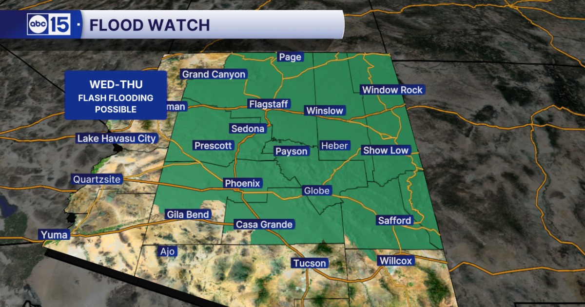 WHAT TO EXPECT: Heavy rain and flash flooding possible across Arizona midweek
Get ready for big weather changes across the state this week! A strong storm system off the California coast is pulling well-above-normal moisture into Arizona. The setup will fuel showers and thunderstorms across the…
- Flash-flood risk rises in Southern California, severe storms threaten Arizona
Satellite image of southwest U.S. at 17:20 UTC on October 20, 2026. Credit: NOAA/GOES-19, Zoom Earth, The Watchers The WPC Excessive Rainfall Discussion issued at 15:33 UTC on October 20 places portions of Southern…
-
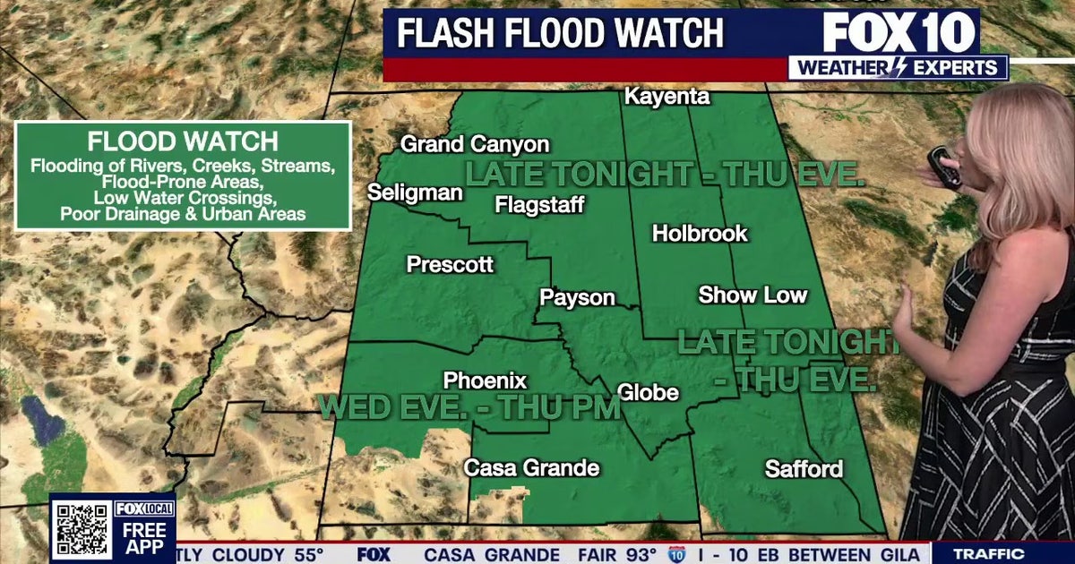 Arizona weather forecast: Heavy rain and severe storms approaching
The National Weather Service has issued flood watches across Arizona as heavy rain and severe storms are set to move into the region. PHOENIX - Plenty of change is expected over the next several days. What to Expect…
-
 Strong storm system headed to Arizona — here's when it'll hit
AZ Family Strong storm system headed to Arizona — here's when it'll hit How much rain could Phoenix get? Here’s the latest forecast Heavy rain, strong storms across Phoenix area expected later this week Sunny, warm…
-
 MOST ACCURATE FORECAST: Flood Watch issued as storm system heads to Arizona
PHOENIX — It’s a warm start to the week in the Valley! Phoenix topped out in the low 90s on Monday and we’ll do it again on Tuesday. We are tracking another storm system on the way that will drop temperatures for the…
-
 Fall system to bring heavy rain, strong storms to Arizona
PHOENIX (AZFamily) — A big weather change is ahead with a strong fall storm system headed toward the Desert Southwest. Wednesday and Thursday are First Alert Weather Days as several rounds of showers and thunderstorms…
Air quality
Air quality is satisfactory, and air pollution poses little or no risk.
Forecast
- WedGood (17)
- ThuGood (15)
- FriGood (6)
Douglas, AZ reporting area · 1 hr ago. Data from AirNow (EPA and its state, local and tribal partners); preliminary and subject to change.
Sun & moon
Almanac
MonthlyDouglas (bisbee) Intl Ap, records since 1948. Normals 1991–2020. Data from NOAA's Regional Climate Centers (ACIS).
Nearby
- Agua Prieta 3 km
- Naco 38 km
- Bisbee 38 km
Forecasters' discussion
From the National Weather Service office in TWC, issued 9 hrs ago
Synopsis
Temperatures at or slightly above normal today and Thursday, then cooler than normal Friday into this weekend. An unsettled weather pattern continues with strong to severe thunderstorms possible today and Thursday. Main threat will be heavy rain, strong winds, and hail.
Discussion
Satellite imagery this morning showed considerable mid-high level clouds under southwest flow aloft out ahead of a strong upper level low off southern CA coast. Thunderstorm activity this morning as been across central and northern AZ and that should remain the case through 12 noon. As the upper low moves closer to the SoCal coast, the upper divergent field that is NW to Tucson will expand over the area. Scattered showers and thunderstorms that develop this afternoon will be capable of near severe strong winds, large hail and brief heavy rain with rainfall rates of 1-2"/hr. This is especially true across Pinal, Graham and Greenlee counties. A few strong storms are possible this evening into the overnight hours. For Thursday as the upper level trof moves inland there will be another round of scattered strong thunderstorms along with brief heavy rain. Flash flood watch remain in effect for later today into Thursday for Pinal, Graham and Greenlee counties.
Drier air moves in for Friday, though some lingering showers possible near the NM border, which could linger into the weekend as well.
Temperatures through Thursday will be at or slightly above normal, then cooler than normal Friday into this weekend. Latest NBM has a freeze potential at the highest elevations of the White Mountains Sun/Mon morning.
Aviation
Valid thru 22/12Z. SCT-BKN clouds 8-12k ft agl. Aft 21/17z, SCT -SHRA/-TSRA thru end of valid pd. Any shower or storm could produce brief MVFR/IFR in addition to strong winds to 50 kts, small to marginally severe hail and brief heavy rain. SFC winds away from TS mainly less than 12 kts. Aviation discussion not updated for TAF amendments.
Fire Weather
Temperatures at or slightly above normal today and Thursday, then cooler than normal Friday into this weekend. Wind speeds mostly less than 15 mph this week except for Thursday with southwest winds around 15 to 20 mph. Minimum relative humidity remains above 25-40+ percent in the valleys through the week with most days seeing anywhere from a 20-80 percent chance of showers with embedded thunderstorms at times as an unsettled pattern continues.
Forecasts, observations and alerts in the United States come from the National Weather Service (NOAA); radar from NOAA's Multi-Radar Multi-Sensor system; satellite imagery from NASA's Global Imagery Browse Services (GIBS) and NOAA's GOES satellites; the map from the U.S. Geological Survey's National Map; air quality from AirNow (EPA and its partners); hurricane information from the National Hurricane Center; climate normals and records from NOAA's Regional Climate Centers (ACIS). Forecasts outside the United States and the UV index: MET Norway (CC BY 4.0); observations outside the U.S.: airport reports via NOAA's Aviation Weather Center. Place names: GeoNames (CC BY 4.0). Data are copied on a schedule and may lag the sources; for warnings that affect your safety, follow your local National Weather Service office and emergency officials. Weather news is drawn from the 4Search index and reflects what the press published. Terms of use.