Install
Nephi, UT 84648 Weather
Current conditions
Forecast for this hour (no station report in the last two hours)
Forecast
10-day-
Tonight
A chance of showers and thunderstorms before 9pm, then showers and thunderstorms. Mostly cloudy. Low around 43, with temperatures rising to around 45 overnight. South wind 8 to 14 mph. Chance of precipitation is 100%. New rainfall amounts between a quarter and half of an inch possible.
-
Friday
Mostly sunny. High near 55, with temperatures falling to around 53 in the afternoon. South southwest wind 8 to 12 mph.
-
Friday Night
Partly cloudy. Low around 38, with temperatures rising to around 40 overnight. Northeast wind around 5 mph.
National Weather Service forecast updated 10 hrs ago.
Hourly
Hourly forecast- Now53°92%
- 11 PM52°92%
- Fri12 AM51°95%
- 1 AM50°95%
- 2 AM49°95%
- 3 AM48°58%
- 4 AM47°58%
- 5 AM45°58%
- 6 AM45°14%
- 7 AM44°14%
- 8 AM43°14%
- 9 AM45°12%
- 10 AM47°12%
- 11 AM48°12%
- 12 PM51°
- 1 PM53°
- 2 PM53°
- 3 PM55°10%
- 4 PM54°10%
- 5 PM53°10%
- 6 PM52°11%
- 7 PM48°11%
- 8 PM48°11%
- 9 PM47°13%
10-day forecast
Details- TonightOct 22Chance Showers And Thunderstorms then Showers And Thunderstorms95%43°
- FriOct 23Mostly Sunny14%38°55°
- SatOct 24Mostly Sunny31%38°56°
- SunOct 25Chance Light Rain28%38°56°
- MonOct 26Mostly Sunny38°60°
- TueOct 27Sunny38°60°
- WedOct 28Mostly Sunny40°60°
- ThuOct 29Mostly Sunny62°
- FriOct 30Sunny38°61°
- SatOct 31Cloudy41°61°
Days after the National Weather Service's seven are MET Norway's outlook, a computer model with no forecaster's review.
Radar
Full mapWeather news in Utah
More weather news-
 Utah’s Wild Weather Swing
Southern and central Utah face the greatest concern through Thursday. Southern Utah is now under a Moderate Risk on the excessive rainfall, level 3 out of 4, as repeated rounds of rain could lead to flash flooding. A…
- Utah officials anticipate strong El Niño for 2026-2027 after poor water year
Utah’s water year begins in October. Utah Snow Survey Data Collection Officer Jordan Clayton said starting in the fall better encapsulates when the state receives water and when it flows into reservoirs. “We obviously…
-
 #Drought news October 22, 2026: Improvements occurred across portions of #Kansas, #Nebraska, #Colorado, #Wyoming, #Utah, #Arizona and #NewMexico
Drought news October 22, 2026: Improvements occurred across portions of #Kansas, #Nebraska, #Colorado, #Wyoming, #Utah, #Arizona and #NewMexico coyotegulch.blog Click on a thumbnail graphic to view a gallery of drought…
-
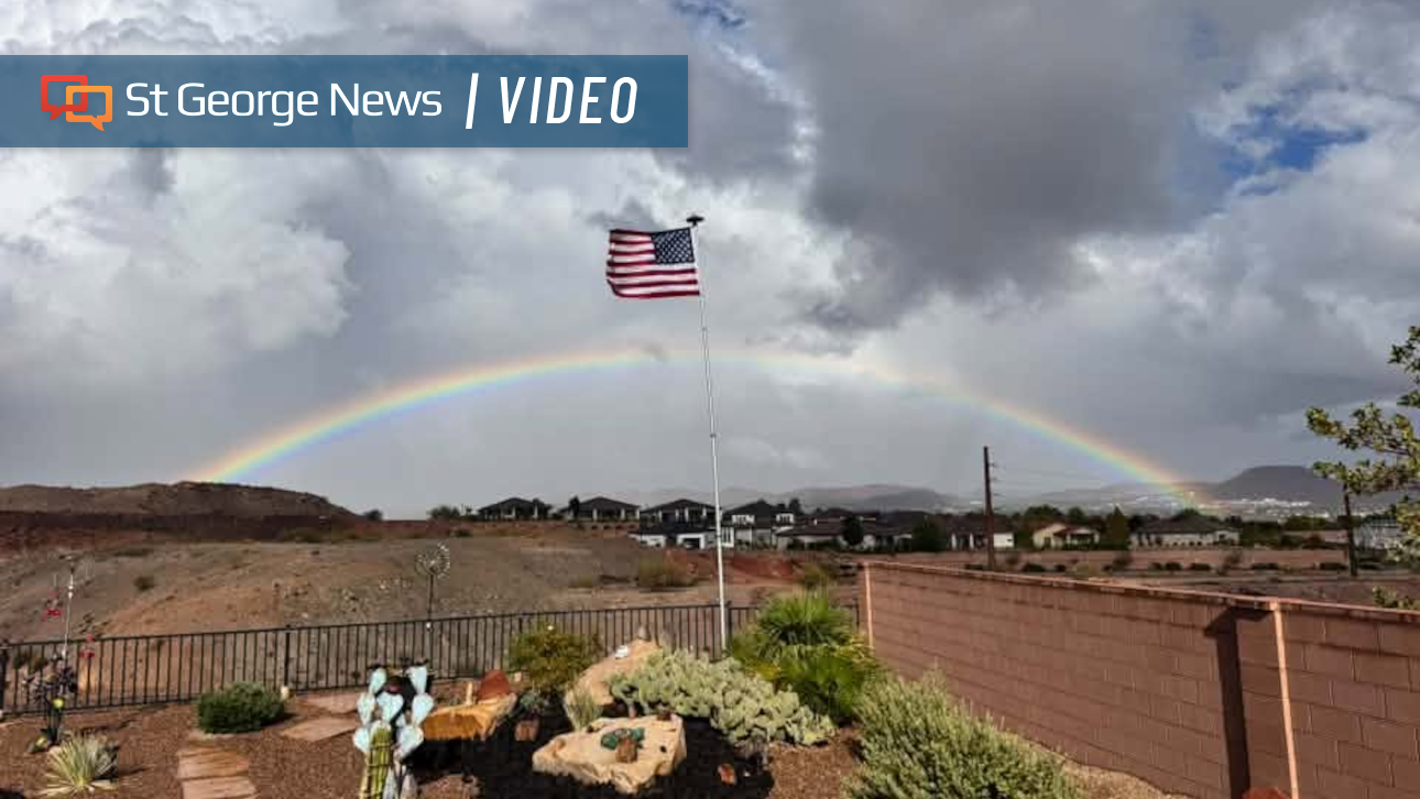 Photo Gallery: Fast-moving storms flood Southern Utah with heavy rain – and rainbows; more on the way
Fast-moving storms tracking north by northeast dropped hail and heavy rain across Southern Utah. The weather event also produced monstrous cloud formations and expansive rainbows. Monica Traphagan, senior meteorologist…
-
 HRC Climate Services Heating and Cooling Highlights Fall Furnace Preparation Ahead of Utah Winter
The Conway Daily Sun SPANISH FORK, UT - October 20, 2026 - PRESSADVANTAGE - Javascript is required for you to be able to read premium content. Please enable it in your browser settings. There was a problem reporting…
- Storm Pattern Expected Across Utah Later This Week
Isolated showers and thunderstorms are possible across parts of the area Tuesday afternoon and evening. The National Weather Service forecast discussion mentions this possibility. Widespread precipitation is expected to…
-
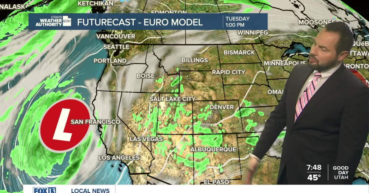 Sunshine returns Sunday up north, with a few showers over southern Utah
SALT LAKE CITY — Happy Sunday, Utah! Ample sunshine returns to northern Utah today, with a chance of a few showers down south. Daytime highs remain in the upper 60s for northern valleys, with a high of 70 degrees…
-
 Utah stays sunny through weekend before storm brings rain next week
KUTV Utah stays sunny through weekend before storm brings rain next week by Chase Thomason, KUTV SALT LAKE CITY (KUTV) — Temperatures will warm slightly through the weekend. Sunny weather will continue across northern…
-
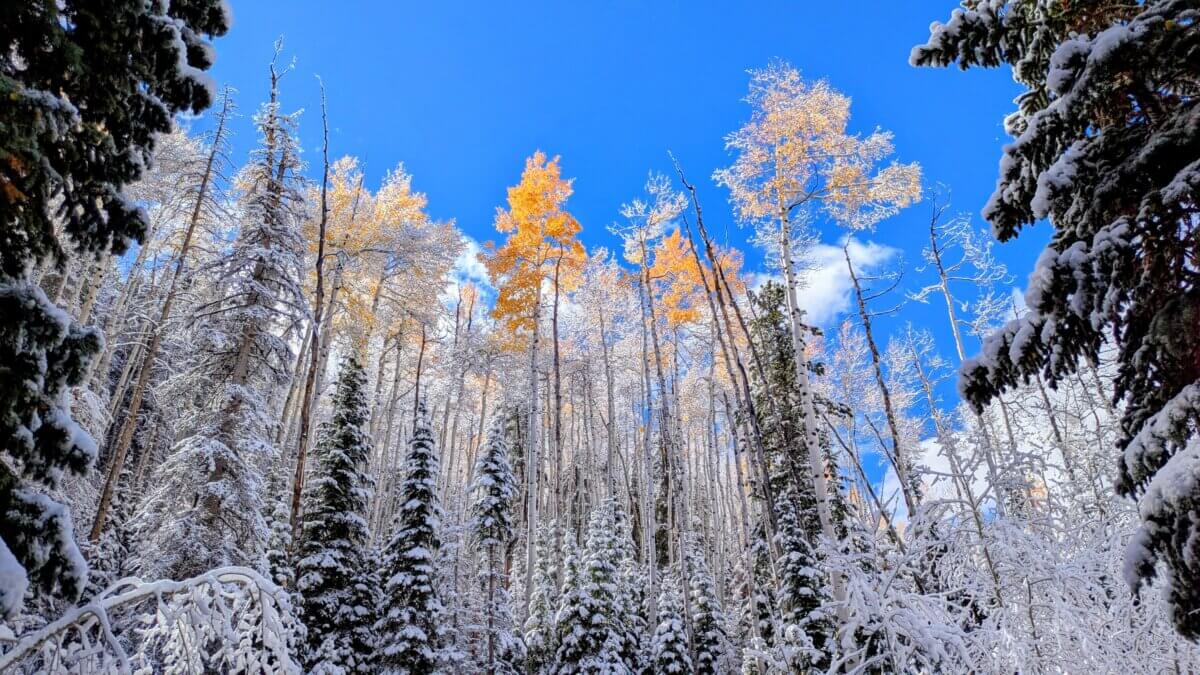 NOAA’s winter outlook leaves Utah snowfall uncertain as El Niño strengthens
PARK CITY, Utah — Utah’s upcoming winter could be shaped by a strong El Niño, but the National Oceanic and Atmospheric Administration’s latest seasonal outlook does not point to a clear outcome when it comes to…
- UTAH’S WEATHER IS ABOUT TO FLIP...AGAIN!
After this morning’s cold start, Utah will begin to warm as high pressure stays over the region through the first part of the weekend. By Sunday, the weather pattern becomes much more active. Moisture from weakening…
Air quality
Air quality is satisfactory, and air pollution poses little or no risk.
Forecast
- ThuGood
- FriGood
- SatGood
Provo, UT reporting area · 1 hr ago. Data from AirNow (EPA and its state, local and tribal partners); preliminary and subject to change.
Sun & moon
Almanac
MonthlyLevan, records since 1895. Normals 1991–2020. Data from NOAA's Regional Climate Centers (ACIS).
Nearby
- Spanish Fork 49 km
- Springville 56 km
- Payson 40 km
- Santaquin 32 km
- Mapleton 53 km
- Salem 42 km
- Ephraim 43 km
- Manti 50 km
- Mount Pleasant 36 km
- Gunnison 60 km
- Elk Ridge 38 km
Forecasters' discussion
From the National Weather Service office in SLC, issued 5 hrs ago
Aviation
KSLC...Showers will continue through around 10Z Friday, with a few embedded thunderstorms possible early. There will be around a 40% chance of MVFR VIS/CIGS with showers, and a 10-20% chance of brief IFR with any thunderstorm or heavy shower. While winds are generally favored to remain southerly, showers will bring some periods of west to northwest winds through about 03Z-04Z. Southerly winds are then expected to increase later overnight through Friday morning. Isolated showers then redevelop Friday afternoon into the evening.
REST OF UTAH AND SOUTHWEST WYOMING...Shower and thunderstorm activity will gradually decrease in coverage from south to north through the evening and into the overnight hours. The exception will be far northern terminals where more persistent shower activity is likely to continue. There will be around a 40% chance of MVFR VIS/CIGS with showers, and a 10-20% chance of brief IFR with any thunderstorm or heavy shower. Winds will still tend to favor a southerly direction, if not variable at times. At terminals roughly along and north of I-80, some isolated to scattered showers are expected to redevelop Friday afternoon.
Slc Watches
UT...Flood Watch until midnight MDT tonight for UTZ117-120-121- 123>131.
WY...None.
Forecasts, observations and alerts in the United States come from the National Weather Service (NOAA); radar from NOAA's Multi-Radar Multi-Sensor system; satellite imagery from NASA's Global Imagery Browse Services (GIBS) and NOAA's GOES satellites; the map from the U.S. Geological Survey's National Map; air quality from AirNow (EPA and its partners); hurricane information from the National Hurricane Center; climate normals and records from NOAA's Regional Climate Centers (ACIS). Forecasts outside the United States and the UV index: MET Norway (CC BY 4.0); observations outside the U.S.: airport reports via NOAA's Aviation Weather Center. Place names: GeoNames (CC BY 4.0). Data are copied on a schedule and may lag the sources; for warnings that affect your safety, follow your local National Weather Service office and emergency officials. Weather news is drawn from the 4Search index and reflects what the press published. Terms of use.