Install
Ogden, UT 84412 Weather
Current conditions
Forecast for this hour (no station report in the last two hours)
Forecast
10-day-
This Afternoon
A chance of showers and thunderstorms. Mostly cloudy. High near 74, with temperatures falling to around 70 in the afternoon. South southeast wind around 5 mph. Chance of precipitation is 50%.
-
Tonight
A chance of showers and thunderstorms before 9pm, then showers and thunderstorms. Mostly cloudy. Low around 48, with temperatures rising to around 52 overnight. Southeast wind 6 to 17 mph, with gusts as high as 31 mph. Chance of precipitation is 100%. New rainfall amounts between a half and three quarters of an inch possible.
-
Friday
Showers and thunderstorms likely. Mostly cloudy. High near 56, with temperatures falling to around 53 in the afternoon. South wind 5 to 17 mph, with gusts as high as 32 mph. Chance of precipitation is 70%. New rainfall amounts between a tenth and quarter of an inch possible.
National Weather Service forecast updated 1 hr ago.
Hourly
Hourly forecast- Now72°49%
- 2 PM72°49%
- 3 PM74°46%
- 4 PM72°46%
- 5 PM70°46%
- 6 PM68°44%
- 7 PM61°44%
- 8 PM58°44%
- 9 PM58°85%
- 10 PM58°85%
- 11 PM58°85%
- Fri12 AM58°99%
- 1 AM55°99%
- 2 AM55°99%
- 3 AM54°78%
- 4 AM53°78%
- 5 AM52°78%
- 6 AM50°58%
- 7 AM49°58%
- 8 AM48°58%
- 9 AM48°68%
- 10 AM49°68%
- 11 AM51°68%
- 12 PM52°64%
10-day forecast
Details- TodayOct 22Chance Showers And Thunderstorms99%48°74°
- FriOct 23Showers And Thunderstorms Likely68%42°56°
- SatOct 24Mostly Sunny42°59°
- SunOct 25Mostly Sunny42°59°
- MonOct 26Sunny14%42°62°
- TueOct 27Slight Chance Light Rain then Mostly Sunny21%41°60°
- WedOct 28Mostly Sunny43°60°
- ThuOct 29Partly cloudy32°54°
- FriOct 30Cloudy39°56°
- SatOct 31Mostly sunny38°55°
Days after the National Weather Service's seven are MET Norway's outlook, a computer model with no forecaster's review.
Radar
Full mapWeather news near Ogden
More weather news-
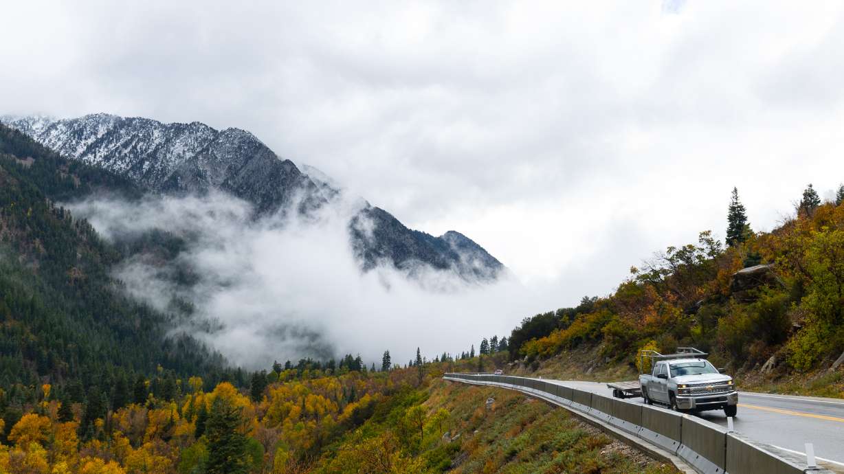 Hurricane Rachel’s Remnants Bring Record Precipitation to Drought-Stricken Utah
At SSBCrack News, our dedicated editorial team brings you the latest and most reliable updates on Defence, Geopolitics, Military Affairs, Science, and Technology. Driven by a passion for national security and strategic…
-
 Tropical Storm Rachel’s remnants are gone, but they left a record-high benefit
The remnants of what was once Hurricane Rachel ultimately delivered big totals across drought-stricken Utah. Gauges on Big Mountain and the Mount Timpanogos Divide in the Wasatch Mountains collected at least 7.5 inches…
-
 The First Major Storm of the 2026–27 Ski Season: What It Delivered
After weeks of watching forecasts and waiting for temperatures to cooperate, winter finally made a more convincing appearance across parts of the West. The storm system that moved through Utah brought around 8–10 inches…
-
 Kentucky Mesonet app adds historical weather data, soil conditions and camera timelapses
BOWLING GREEN, Ky. — The Kentucky Mesonet at Western Kentucky University has updated its mobile app with a redesigned interface and new tools that allow users to review historical weather data, monitor soil conditions…
-
 Snow sticks on upper roads in Cottonwood canyons as UDOT urges caution
KUTV CBS 2 provides local news, weather forecasts, traffic updates, notices of events and items of interest in the community, sports and entertainment programming for Salt Lake City and nearby towns and communities in…
- Salt Lake City Shivers as Wasatch Snows, Sunshine Set to Roar Back
Salt Lake City is waking up Tuesday under cloudy skies near 46 degrees, with showers and thunderstorms expected through the day. The high will struggle to reach 51 degrees, making this a decidedly chilly follow-up to…
- Salt Lake City Weather Turns Stormy After Sunny 80s
Salt Lake City is starting Wednesday with temperatures near 55 degrees early at the airport and a forecast high around 83. Light winds are expected at KSLC. After a few more warm, dry days, a wetter and much cooler…
-
 Utah’s Wild Weather Swing
Southern and central Utah face the greatest concern through Thursday. Southern Utah is now under a Moderate Risk on the excessive rainfall, level 3 out of 4, as repeated rounds of rain could lead to flash flooding. A…
-
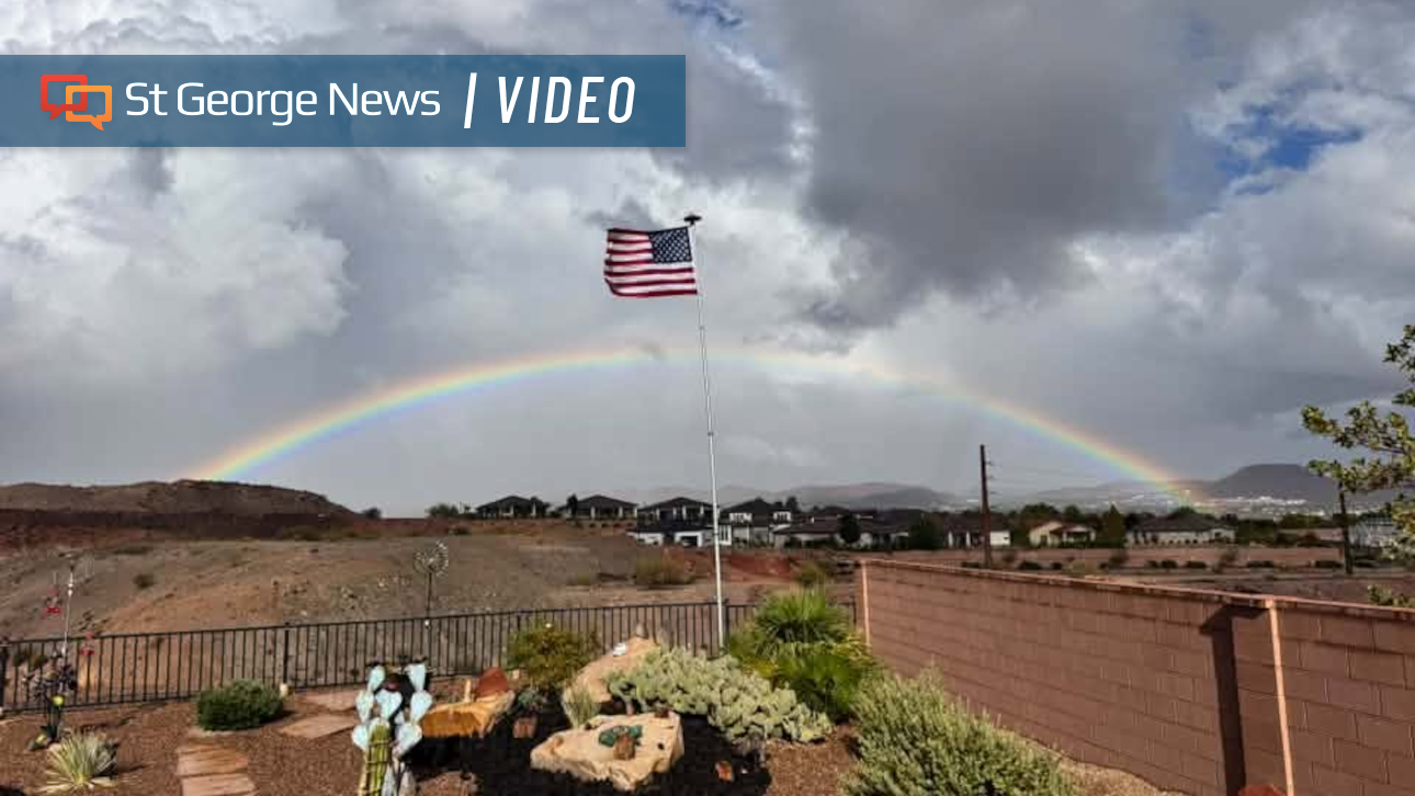 Photo Gallery: Fast-moving storms flood Southern Utah with heavy rain – and rainbows; more on the way
Fast-moving storms tracking north by northeast dropped hail and heavy rain across Southern Utah. The weather event also produced monstrous cloud formations and expansive rainbows. Monica Traphagan, senior meteorologist…
-
 HRC Climate Services Heating and Cooling Highlights Fall Furnace Preparation Ahead of Utah Winter
The Conway Daily Sun SPANISH FORK, UT - October 20, 2026 - PRESSADVANTAGE - Javascript is required for you to be able to read premium content. Please enable it in your browser settings. There was a problem reporting…
Air quality
Air quality is satisfactory, and air pollution poses little or no risk.
Forecast
- ThuGood
- FriGood
- SatGood
Ogden, UT reporting area · 1 hr ago. Data from AirNow (EPA and its state, local and tribal partners); preliminary and subject to change.
Sun & moon
Almanac
MonthlyMorgan, records since 1903. Normals 1991–2020. Data from NOAA's Regional Climate Centers (ACIS).
Nearby
- Salt Lake City 55 km
- Layton 22 km
- Logan 54 km
- Bountiful 41 km
- Roy 12 km
- Clearfield 17 km
- Kaysville 25 km
- Syracuse 21 km
- South Salt Lake 60 km
- Farmington 31 km
- Clinton 15 km
- North Salt Lake 45 km
Forecasters' discussion
From the National Weather Service office in SLC, issued 15 hrs ago
Key Messages
- Widespread precipitation will bring an elevated and prolonged threat of flash flooding across southern and central Utah through Thursday. There is a Slight Risk of excessive rainfall (level 2 of 4) across southern Utah on Thursday.
- There is a Marginal Risk (level 1 of 5) for severe thunderstorms is in place across southern and western Utah on Thursday.
- The late week storm will also bring accumulating snowfall to the high terrain across northern and central Utah on Friday, with 1-4" likely above 9000 feet. There is a chance of locally higher amounts for favored locations.
Discussion
The center of a broad closed low is approaching the California coast this evening, with Utah and southwest Wyoming under a southerly flow out ahead of it. This has allowed deep tropical moisture to move into the forecast area, with satellite derived PWs primarily in the 0.6 to 0.7 inch range, which is above the 90th percentile for PW for this time of year. The position of the upper jet on the front side of the system has brought a good amount of instability, particularly for southwest Utah, with enough shear to promote some organized convection. One earlier storm produced golf ball size hail, but flash flooding has been the primary threat, and will continue to be through tomorrow.
Convection is currently in a relative lull, though at least some showers and thunderstorms will continue over southern Utah overnight. Meanwhile, the main low will move onshore tomorrow, splitting as it does so. One piece is expected to eject northward across Utah and southwest Wyoming late Thursday afternoon through early Friday with the other piece moving into northern Mexico. By the early afternoon, convection is expected to become more intense again over southern Utah, with the moisture and instability spreading northward into northern portions of the area with the movement of the trough. Conditions will remain quite favorable for flash flooding over central and southern Utah, and thus the Flood Watch remains in effect through early Friday.
As the trough moves through, it will bring colder air along with it, resulting in highs 5-10F below seasonal normals Friday afternoon. The colder air will also bring snow levels down to around 9,000 feet, bringing accumulating snow to the highest terrain of northern Utah, though most likely not significant amounts. Drier conditions will follow beginning Friday as the north piece of the trough ejects out of the area, but the presence of the southern branch of the low will keep temperatures on the cool side through the weekend. The southern branch of the system is also likely to bring a few showers to at least southeast Utah Saturday into Sunday as it tracks east across the Desert Southwest.
Weak ridging is then expected to move over Utah and southwest Wyoming to start the upcoming work week, bringing a bit of warming to the area. However, with no blocking ridge in place off the coast, the storm track is expected to remain active in some fashion next week, though there remains significant ensemble spread regard to the timing and details of any systems, along with their potential impacts for the forecast area.
Aviation
KSLC...The SLC terminal will see VFR conditions through the overnight hours. Southerly winds will continue overnight and through the day tomorrow. Showers and storms will develop again tomorrow, with a 30 percent chance of impacts to the terminal in the afternoon, gusty winds being the main threat. Showers are then expected to become more widespread beginning early evening, bringing an increased potential for gusty winds.
REST OF UTAH AND SOUTHWEST WYOMING...VFR conditions are expected to prevail across the airspace through the overnight hours. Showers will continue overnight and into tomorrow morning over southern Utah, with the focus overnight shifting to southeast Utah. Showers and storms will increase in coverage tomorrow, spreading northward during the afternoon through tomorrow evening. Any storms that develop will be capable of producing gusty and erratic winds, lightning, and brief MVFR conditions.
Slc Watches
UT...Flood Watch through Thursday evening for UTZ117-120-121-123>131.
WY...None.
Forecasts, observations and alerts in the United States come from the National Weather Service (NOAA); radar from NOAA's Multi-Radar Multi-Sensor system; satellite imagery from NASA's Global Imagery Browse Services (GIBS) and NOAA's GOES satellites; the map from the U.S. Geological Survey's National Map; air quality from AirNow (EPA and its partners); hurricane information from the National Hurricane Center; climate normals and records from NOAA's Regional Climate Centers (ACIS). Forecasts outside the United States and the UV index: MET Norway (CC BY 4.0); observations outside the U.S.: airport reports via NOAA's Aviation Weather Center. Place names: GeoNames (CC BY 4.0). Data are copied on a schedule and may lag the sources; for warnings that affect your safety, follow your local National Weather Service office and emergency officials. Weather news is drawn from the 4Search index and reflects what the press published. Terms of use.