Install
Salt Lake City, UT 84136 Weather
Current conditions
Forecast for this hour (no station report in the last two hours)
Forecast
10-day-
Saturday Night
Partly cloudy, with a low around 42.
-
Sunday
Mostly sunny, with a high near 57.
-
Sunday Night
Mostly clear, with a low around 42.
National Weather Service forecast updated 2 days ago.
Hourly
Hourly forecast- Now46°18%
- 1 AM46°18%
- 2 AM45°18%
- 3 AM45°18%
- 4 AM45°18%
- 5 AM45°18%
- 6 AM44°15%
- 7 AM43°15%
- 8 AM43°15%
- 9 AM43°15%
- 10 AM45°15%
- 11 AM49°15%
- 12 PM52°
- 1 PM54°
- 2 PM55°
- 3 PM55°
- 4 PM55°
- 5 PM55°
- 6 PM54°
- 7 PM51°
- 8 PM49°
- 9 PM47°
- 10 PM46°
- 11 PM46°
10-day forecast
Details- ThuOct 22Chance Showers And Thunderstorms97%49°73°
- FriOct 23Chance Showers And Thunderstorms45%44°55°
- SatOct 24Partly Sunny11%42°56°
- TodayOct 25Mostly Sunny14%42°57°
- MonOct 26Mostly Sunny43°61°
- TueOct 27Slight Chance Light Rain17%43°59°
- WedOct 28Mostly Sunny45°59°
- ThuOct 29Partly cloudy30°55°
- FriOct 30Cloudy42°58°
- SatOct 31Sunny42°58°
Days after the National Weather Service's seven are MET Norway's outlook, a computer model with no forecaster's review.
Radar
Full mapWeather news near Salt Lake City
More weather news-
 Late-week storm could bring 3 to 6 inches of mountain snow
by Jill Margetts, KUTV SALT LAKE CITY (KUTV) — A few showers will continue to move through parts of southern and central Utah Monday. Some thunderstorms could develop in southeastern Utah by Monday afternoon. A few…
-
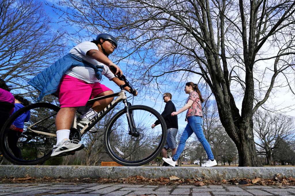 U.S. winter is likely to be wetter and warmer, forecasters say
El Niño is likely to shift weather patterns to bring more moisture, but with it higher temperatures. That should help erase persistent Western drought, but it won’t likely make Northern snow-lovers happy, the National…
- Sunny Salt Lake City Weekend Before Storms Crash the Workweek
Salt Lake City is starting Saturday clear and cool, with the latest airport observation showing temperatures around 45 degrees and a light southeasterly wind before sunrise. That chill is temporary: sunshine should push…
-
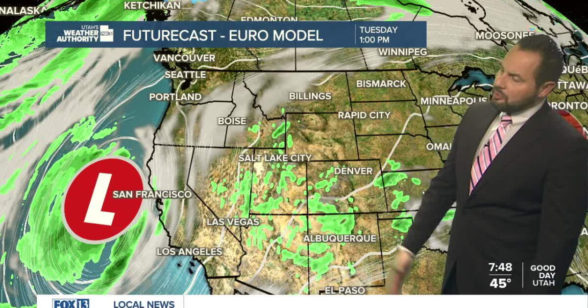 Sunshine returns Sunday up north, with a few showers over southern Utah
SALT LAKE CITY — Happy Sunday, Utah! Ample sunshine returns to northern Utah today, with a chance of a few showers down south. Daytime highs remain in the upper 60s for northern valleys, with a high of 70 degrees…
-
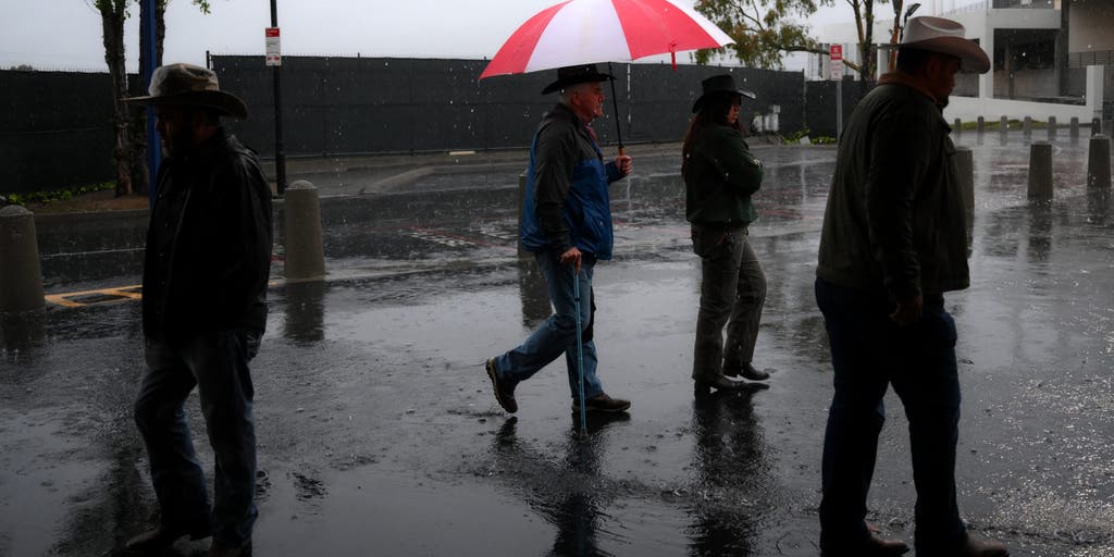 California storms could bring much-needed rain and relief to wildfire-weary areas
🔥 FIRE RELIEF: Wet weather is headed for California just in time as wildfires rage across the state, bringing much-needed relief to the fiery conditions this week. CALIFORNIA - As numerous wildfires burn across parts of…
-
 These 5 US flight routes are among the worst for turbulence
Denver (DEN) – Jackson Hole (JAC): Tops the continental ranking with a distance of 653 kilometers and an EDR rating of 18.18 due to strong wind waves over mountain ranges. Albuquerque (ABQ) – Denver (DEN): Ties for…
- US winter is likely to be wetter and warmer, forecasters say. If you want more snow, look south
By SETH BORENSTEIN Associated Press If you want more snow, look south A person walks near the snow-covered sand at Lake Michigan in Chicago on Jan. 28. Pedestrians and cars pass through the Dumbo neighborhood of…
-
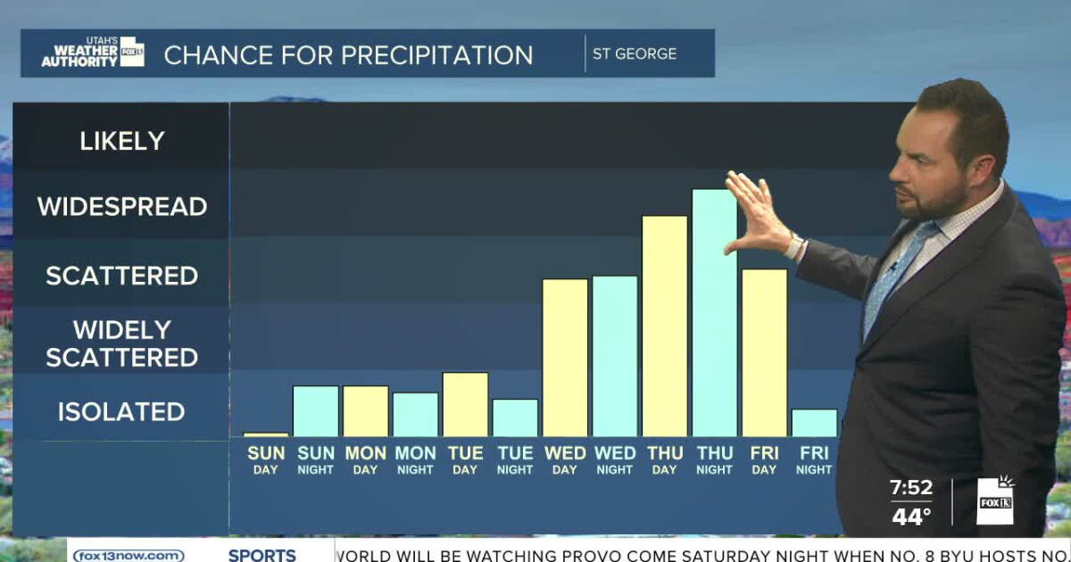 Sunshine this weekend, with increasing showers into next week
FOX 13 News Utah SALT LAKE CITY — Happy Weekend, Utah! It's a calm and dry start to the weekend with near-seasonal temperatures statewide. Daytime highs will reach the upper 60s up in northern Utah, with highs in the…
-
 Utah stays sunny through weekend before storm brings rain next week
KUTV Utah stays sunny through weekend before storm brings rain next week by Chase Thomason, KUTV SALT LAKE CITY (KUTV) — Temperatures will warm slightly through the weekend. Sunny weather will continue across northern…
-
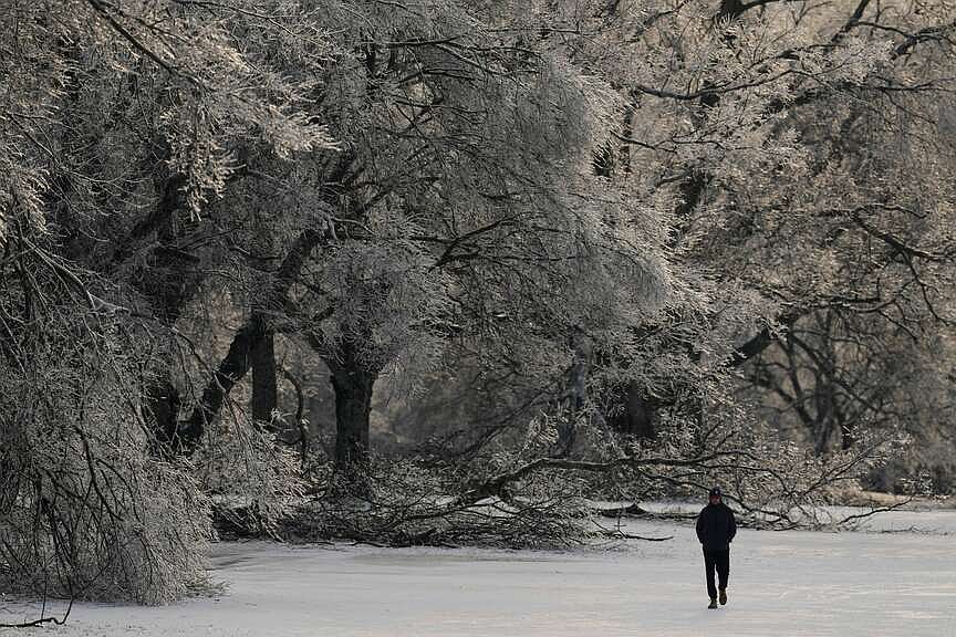 Forecasters: U.S. winter is likely to be wetter and warmer but parts of South might see more snow
WASHINGTON -- Winter in the United States looks like it will generally be wetter and warmer, but not necessarily snowier, according to the federal government's seasonal outlook and other meteorologists' forecasts. You…
Air quality
Acceptable. Unusually sensitive people should consider limiting prolonged outdoor exertion.
Forecast
- SunGood
- MonGood
Salt Lake City, UT reporting area · 1 hr ago. Data from AirNow (EPA and its state, local and tribal partners); preliminary and subject to change.
Sun & moon
Almanac
MonthlySalt Lake City Area, records since 1874. Normals 1991–2020. Data from NOAA's Regional Climate Centers (ACIS).
Nearby
- West Valley City 13 km
- West Jordan 18 km
- Orem 55 km
- Sandy 20 km
- Ogden 51 km
- Layton 33 km
- South Jordan 23 km
- Millcreek 9 km
- Taylorsville 12 km
- Lehi 42 km
- Murray 11 km
- Draper 27 km
Forecasters' discussion
From the National Weather Service office in SLC, issued 1 hr ago
Key Messages
- Scattered showers with embedded thunderstorms will continue through Sunday across eastern Utah which will keep a low threat for flash flooding given the saturated soils.
- Pattern remains unsettled with a quick moving cold front Monday night followed by a more substantial storm by the end of the week.
Discussion
The large-scale pattern this evening consists of a closed low centered over northwest Arizona while upstream, another closed low is located off the southern BritCol coast. The low over Arizona resulted in some isolated to scattered showers over portions of southern and eastern Utah earlier today, with much of this having already decreased this evening. However, a vort lobe embedded within the low will rotate into southeast Utah tonight. This is expected to bring an increasing threat of showers with a few embedded thunderstorms back to southern and eastern Utah, mainly after midnight. As the rest of the upper low lifts through the Four Corners area through the day Sunday, expect generally scattered showers and thunderstorms to continue over roughly the spine of Utah and points east. Can not rule out an isolated flash flood with stronger showers moving over a sensitive basin.
A relative lull in precipitation is expected for Monday as a transient shortwave ridge crosses the area. Temperatures on Monday will trend warmer under the ridge, with northern Utah returning closer to normal while southern Utah will remain below normal.
Meanwhile, the closed low over the BritCol coast will move inland across the PacNW Sunday night into Monday before grazing northern Utah Monday night as a fast-moving shortwave trough. This trough will push a relatively shallow cold front into northern Utah Monday night. This will drop temperatures across northern Utah to generally 4-8 degrees below normal for Tuesday. Generally light precipitation is expected near the cold front, though amounts will depend in part on the strength of the cold front, of which subtle changes could make a noticeable difference. The latest deterministic GFS and NAM are leaning towards a weaker front with lower QPF compared to the EC. The 19z NBM has 25th-75th percentile values of around 0.15-0.6 in the northern Wasatch Mountains and Bear River Range (highest along the Idaho border), and from less than 0.05-0.4 inches in the adjacent valleys. Snow levels look to fall to between 6-7kft, so light snow accumulations can be expected in the mountains.
A near zonal flow pattern is expected to develop on Tuesday before southwesterly flow develops on Wednesday as a weakening and relatively benign trough grazes northern Utah. Thereafter, another storm system will reach the PacNW coast by Thursday. This will tap into some moisture and bring potentially widespread precipitation back to the area as early as Friday and continuing through the weekend. However, the details on how this storm system will evolve (whether it splits, and how quickly it moves through the area, etc) are still pending better model agreement.
Aviation
KSLC...A scattered to occasionally broken cloud deck around 7000 feet will continue through the overnight hours and south to southeast winds will continue through 18-19Z Sunday.
REST OF UTAH AND SOUTHWEST WYOMING...Showers will continue to impact portions of southern and eastern Utah, generally south of a line from roughly Cedar City to Hanksville, eventually impacting much of eastern Utah after 06Z. Local ceilings near 3000 feet will continue to occur in these areas with the exception of the greater St. George area. Local fog may develop tonight in areas that see clearing, particularly near the Idaho border.
Slc Watches
UT...None. WY...None.
Forecasts, observations and alerts in the United States come from the National Weather Service (NOAA); radar from NOAA's Multi-Radar Multi-Sensor system; satellite imagery from NASA's Global Imagery Browse Services (GIBS) and NOAA's GOES satellites; the map from the U.S. Geological Survey's National Map; air quality from AirNow (EPA and its partners); hurricane information from the National Hurricane Center; climate normals and records from NOAA's Regional Climate Centers (ACIS). Forecasts outside the United States and the UV index: MET Norway (CC BY 4.0); observations outside the U.S.: airport reports via NOAA's Aviation Weather Center. Place names: GeoNames (CC BY 4.0). Data are copied on a schedule and may lag the sources; for warnings that affect your safety, follow your local National Weather Service office and emergency officials. Weather news is drawn from the 4Search index and reflects what the press published. Terms of use.