Install
Star, ID 83669 Weather
Current conditions
Observed at Caldwell - Caldwell Industrial Airport · 1 hr ago
Forecast
10-day-
This Afternoon
Sunny, with a high near 76. Northeast wind around 6 mph.
-
Tonight
Isolated rain showers between 1am and 3am, then patchy fog and isolated rain showers. Partly cloudy, with a low around 46. North wind 1 to 6 mph. Chance of precipitation is 20%.
-
Thursday
Areas of fog and a chance of rain showers before 9am, then rain showers likely and patchy fog between 9am and 3pm, then showers and thunderstorms likely. Partly sunny, with a high near 74. East southeast wind 3 to 9 mph. Chance of precipitation is 70%. New rainfall amounts less than a tenth of an inch possible.
National Weather Service forecast updated 1 hr ago.
Hourly
Hourly forecast- Now72°
- 3 PM74°
- 4 PM76°
- 5 PM76°
- 6 PM74°
- 7 PM69°
- 8 PM63°
- 9 PM59°11%
- 10 PM56°13%
- 11 PM54°14%
- Thu12 AM53°14%
- 1 AM52°15%
- 2 AM50°16%
- 3 AM49°18%
- 4 AM48°18%
- 5 AM48°16%
- 6 AM47°16%
- 7 AM47°19%
- 8 AM46°28%
- 9 AM50°40%
- 10 AM57°52%
- 11 AM62°60%
- 12 PM67°63%
- 1 PM70°64%
10-day forecast
Details- TodayOct 21Sunny18%46°76°
- ThuOct 22Areas Of Fog then Showers And Thunderstorms Likely95%44°74°
- FriOct 23Rain Showers94%33°58°
- SatOct 24Areas Of Fog then Sunny36°60°
- SunOct 25Patchy Fog then Sunny38°64°
- MonOct 26Mostly Sunny18%35°64°
- TueOct 27Areas Of Fog then Mostly Sunny33°60°
- WedOct 28Mostly sunny37°56°
- ThuOct 29Sunny35°59°
- FriOct 30Partly cloudy37°61°
Days after the National Weather Service's seven are MET Norway's outlook, a computer model with no forecaster's review.
Radar
Full mapWeather news near Star
More weather news-
 Curious Clouds Star 2027 Australian Weather Calendar
Dramatic thunderstorms, amazing auroras and dust storms are some of the diverse weather events featured in the 2027 Australian Weather Calendar. Bureau of Meteorology National Community Information Manager Andrea Peace…
-
 🌞Sunshine returns Tuesday before a colder, unsettled finish to the week - Jason
KXLY.com Local news coverage from KXLY+ St. Ignatius Hospital allegedly ordered to stop tours Mild Fall conditions for the Spokane region continue into mid-week A mild Tuesday with the return of sunshine for the Inland…
-
 Orionid meteor shower to peak in UK skies this week
The Orionid meteor shower, which is capable of producing bright fireball meteors, is set to peak in UK skies this week. While it has been active for most of October, the celestial spectacle will be at its best in the…
-
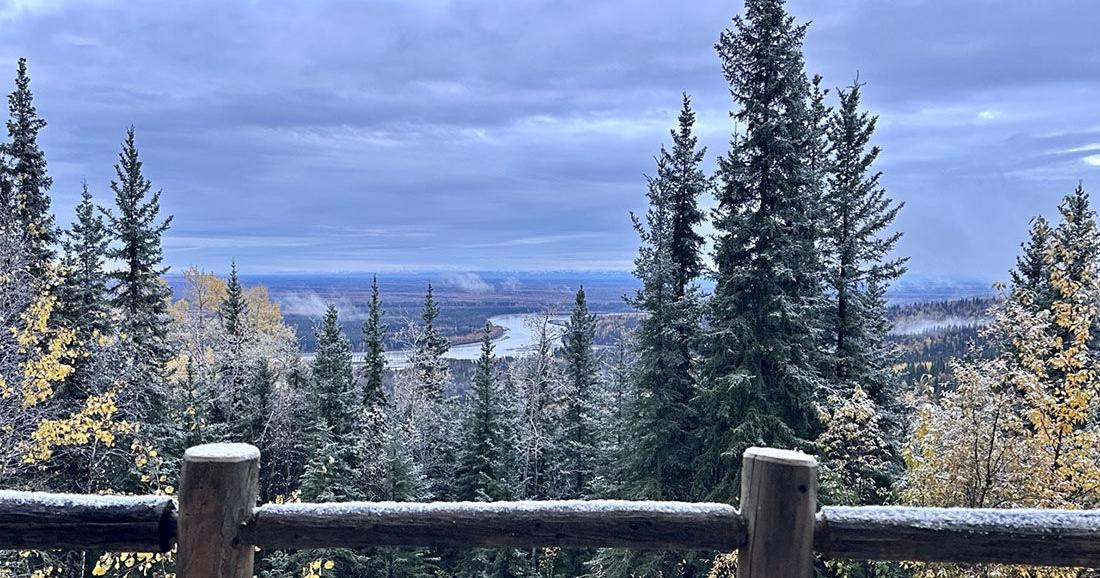 Winter storm could bring significant snow to Interior Alaska
The first snow of 2025 arrived on Sept. 23. Fairbanks and the eastern Interior could see several inches of snow Tuesday morning through Wednesday as the season’s first major winter weather system pushes into the area. A…
-
 Durham Region’s weather, highway closures and top stories on Oct. 19
Expect sunny skies this morning and closures on Highway 12, Highway 35, Highway 401, Highway 7, Highway 7/12 and Highway 7A Todayâs news, weather and traffic. Happy Monday morning Durham Region! Environment Canada is…
-
 Severe thunderstorm warning upgraded to Yellow Level 4 in KZN
Home » News » Weather » Severe thunderstorm warning upgraded to Yellow Level 4 in KZN SAWS has upgraded its KZN storm warning to Yellow Level 4, with heavy rain, possible hail and lightning threatening flooding and…
-
 Alaska Winter Storm Warning: Fairbanks Region Braces for Up to 30 Inches of Snow and Winds Reaching 65 MPH as NWS Expands Weather Alerts – Check Latest Forecast
Winter Storm Watch: Winter weather is set to make travel difficult across parts of Alaska this week, with the National Weather Service (NWS) warning of heavy snowfall, powerful winds and reduced visibility. The eastern…
-
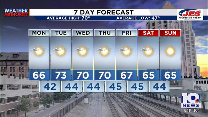 Southwest, Central Virginia Weather | 6 p.m. - Oct. 18, 2026
WSLS Southwest, Central Virginia Weather | 6 p.m. - Oct. 18, 2026 Here's a look at your forecast! 2026 Roanoke GO Outside Festival comes to a close Roanoke Indivisible holds ‘No Kings: Vote Early’ event at Eureka Park…
-
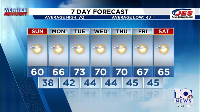 Southwest, Central Virginia Weather | 7:45 a.m. - Oct. 18, 2026
WSLS Southwest, Central Virginia Weather | 7:45 a.m. - Oct. 18, 2026 Here's a look at your forecast! Roanoke Indivisible holds ‘No Kings: Vote Early’ event at Eureka Park Roanoke’s GO Outside Festival takes over the…
-
 After cool Sunday, big changes expected for South Texas weather. Here's what's next.
If you're a fall-weather fan, then Sunday will be the absolute perfect day to get outside. A chilly, crisp morning will be followed by a cool, sunny afternoon with very little wind throughout the region. After making it…
Air quality
Air quality is satisfactory, and air pollution poses little or no risk.
Forecast
- WedGood (48)
- ThuGood
- FriGood
Boise, ID reporting area · 2 hrs ago. Data from AirNow (EPA and its state, local and tribal partners); preliminary and subject to change.
Sun & moon
Almanac
MonthlyBoise Area, records since 1875. Normals 1991–2020. Data from NOAA's Regional Climate Centers (ACIS).
Nearby
Forecasters' discussion
From the National Weather Service office in BOI, issued 2 hrs ago
Update
Updated aviation discussion.
Key Messages
- A chance of showers will spread northward into the area tonight, then become widespread Thursday and Thursday night. There is a slight chance of thunderstorms this afternoon/evening, then a better chance Thursday afternoon and evening.
- Thunderstorms Thursday afternoon into evening will be capable of isolated severe wind gusts/hail in Southwest Idaho.
- Becoming windy late Thursday night behind a cold front, with much cooler conditions Friday.
Boi Watches
ID...Flash Flood Watch from Thursday evening through Friday morning for IDZ013. OR...None.
Forecasts, observations and alerts in the United States come from the National Weather Service (NOAA); radar from NOAA's Multi-Radar Multi-Sensor system; satellite imagery from NASA's Global Imagery Browse Services (GIBS) and NOAA's GOES satellites; the map from the U.S. Geological Survey's National Map; air quality from AirNow (EPA and its partners); hurricane information from the National Hurricane Center; climate normals and records from NOAA's Regional Climate Centers (ACIS). Forecasts outside the United States and the UV index: MET Norway (CC BY 4.0); observations outside the U.S.: airport reports via NOAA's Aviation Weather Center. Place names: GeoNames (CC BY 4.0). Data are copied on a schedule and may lag the sources; for warnings that affect your safety, follow your local National Weather Service office and emergency officials. Weather news is drawn from the 4Search index and reflects what the press published. Terms of use.