Install
Pocatello, ID 83202 Weather
Current conditions
Observed at Pocatello (Monte Vista) · 38 min ago
Forecast
10-day-
Tonight
A slight chance of rain between 3am and 5am. Partly cloudy. Low around 41, with temperatures rising to around 44 overnight. East southeast wind around 5 mph. Chance of precipitation is 20%.
-
Wednesday
Mostly sunny. High near 70, with temperatures falling to around 68 in the afternoon. East northeast wind 2 to 6 mph.
-
Wednesday Night
Partly cloudy. Low around 43, with temperatures rising to around 47 overnight. Southeast wind around 5 mph.
National Weather Service forecast updated 6 hrs ago.
Hourly
Hourly forecast- Now52°
- Wed12 AM50°
- 1 AM49°
- 2 AM48°
- 3 AM47°22%
- 4 AM45°17%
- 5 AM44°14%
- 6 AM43°
- 7 AM42°12%
- 8 AM43°12%
- 9 AM45°
- 10 AM52°
- 11 AM57°
- 12 PM62°
- 1 PM66°
- 2 PM68°
- 3 PM70°
- 4 PM69°
- 5 PM68°
- 6 PM66°
- 7 PM62°
- 8 PM58°
- 9 PM56°
- 10 PM54°
10-day forecast
Details- TonightOct 20Partly Cloudy then Slight Chance Light Rain22%41°
- WedOct 21Mostly Sunny12%43°70°
- ThuOct 22Mostly Sunny then Slight Chance Showers And Thunderstorms95%39°70°
- FriOct 23Showers And Thunderstorms95%31°47°
- SatOct 24Mostly Sunny28°48°
- SunOct 25Sunny31°54°
- MonOct 26Sunny10%31°56°
- TueOct 27Mostly Sunny12%56°
- WedOct 28Partly cloudy33°60°
- ThuOct 29Partly cloudy37°60°
Days after the National Weather Service's seven are MET Norway's outlook, a computer model with no forecaster's review.
Radar
Full mapWeather news near Pocatello
More weather news-
 Doug Iverson's Storm Tracker Forecast | Monday, October 19
KPVI Warmer-than-usual temperatures continue, but sunshine takes a step back. STUDENT'S ALLEGED GUN THREAT AFFECTS LOCAL SCHOOLS Low Water Levels Reveal Original American Falls Town Site Local Man Was Arrested in Bar…
-
 Doug Iverson's Storm Tracker Weather | Thursday, October 15
KPVI A warming trend heading into the weekend. Local Woman Sentenced to Prison One of Colorado's Most Wanted Sex Offenders Was Found in Wyoming Rooster Makes an Appearance on Tail-Wagger Wednesday Friends of Blackfoot…
-
 Matt Davenport's Storm Tracker Forecast for Thursday, October 15
KPVI Warmer weather is on the way for the weekend. Local Woman Sentenced to Prison One of Colorado's Most Wanted Sex Offenders Was Found in Wyoming Rooster Makes an Appearance on Tail-Wagger Wednesday Friends of…
-
 Tracking seasonal temperatures and a nice weekend outlook
Expect a bright, comfortable fall day with plenty of sunshine and afternoon highs approaching 60 degrees in the Snake River Plain. Light winds will keep conditions pleasant, making this a good day for walking the dog…
-
 Dangerous Freeze Warnings Issued for Nevada, Idaho and Utah as Temperatures Plummet
Freeze Warnings are in effect tonight across parts of Utah, Nevada and Idaho, with lows in the mid to upper 20s on the Snake River Plain around Idaho Falls and Pocatello, and 28 in Lincoln County, Nevada. The warnings…
-
 Doug Iverson's Storm Tracker Forecast | Tuesday, October 13
KPVI Finally, our first storm of the month is winding down. American Falls Police Seeking Information on Missing Person Rain Didn't Stop the Community from Coming Out for ISU Homecoming Parade The City of Idaho Falls is…
-
 KPVI Storm Tracker Alert
KPVI WIDESPREAD FREEZE is likely in the Snake River Plain late Tuesday Night into Wednesday Morning. The National Weather Service has issued a Freeze Warning from 3 to 9 a.m. on Wednesday. American Falls Police Seeking…
-
 See it: Early snow blankets the West as Great Falls piles up 16 inches
October snow delivered 15.7 inches over two days, ranking ninth among Great Fall's two-day snowfall totals. By Emilee Speck, AccuWeather staff writer Published Oct 13, 2026 2:56 PM EDT | Updated Oct 13, 2026 2:56 PM EDT…
-
 Matt Davenport's Storm Tracker Forecast for Tuesday, October 13
KPVI One more day of rainy weather before things begin to warm up. American Falls Police Seeking Information on Missing Person Rain Didn't Stop the Community from Coming Out for ISU Homecoming Parade The City of Idaho…
-
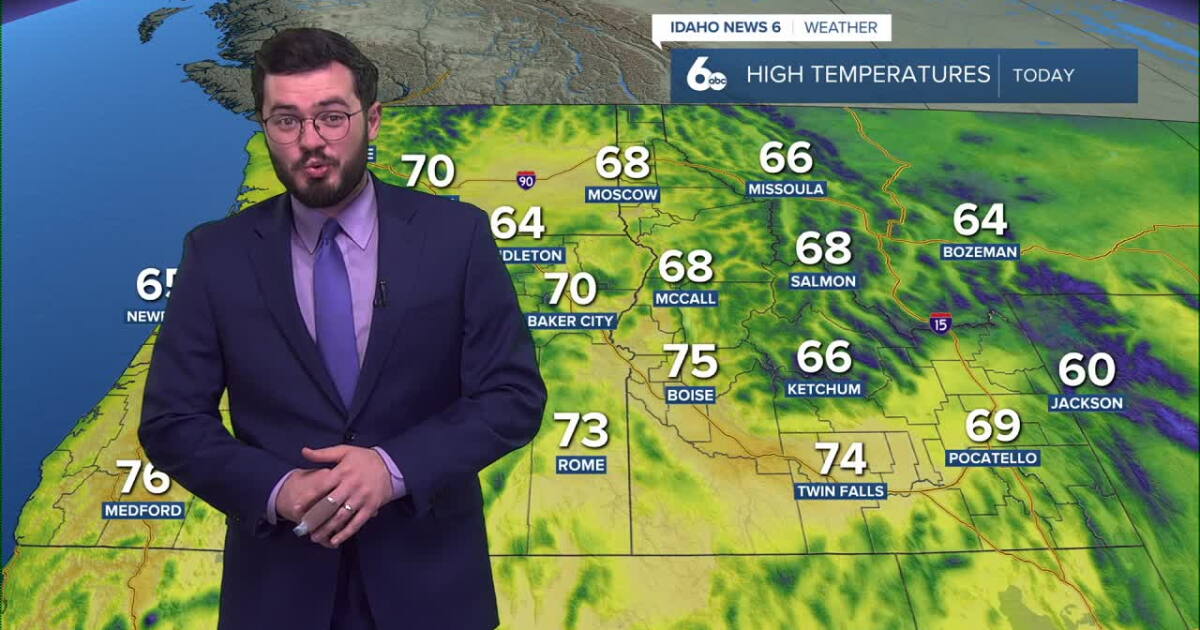 Thunderstorms expected to roll into Idaho soon
Idaho will continue to enjoy nice skies and above average temperatures but further in the week, storms are set to roll in. Clear and pretty mild weather is on the way for our Tuesday with temperatures peaking in the mid…
Air quality
Air quality is satisfactory, and air pollution poses little or no risk.
Shoshone-Bannock Tribes of Fort Hall Reservation, ID reporting area · 1 hr ago. Data from AirNow (EPA and its state, local and tribal partners); preliminary and subject to change.
Sun & moon
Almanac
MonthlyPocatello Area, records since 1939. Normals 1991–2020. Data from NOAA's Regional Climate Centers (ACIS).
Nearby
- Chubbuck 2 km
- Blackfoot 30 km
- Shelley 57 km
- American Falls 36 km
- Fort Hall 11 km
Forecasters' discussion
From the National Weather Service office in PIH, issued 6 hrs ago
Key Messages
- Warm with Isolated Storms Through Thursday: Above-normal temperatures continue across lower elevations with highs in the upper 60s to lower 70s under southwesterly flow, accompanied by isolated afternoon/evening shower and thunderstorm chances.
- Widespread Heavy Rain Late Week: An upper low tracking from the central California coast overhead will bring another widespread heavy rain event, with the primary precipitation window lasting from late Thursday evening through early Saturday morning. Forecast rainfall amounts call for around 1.0 inch across much of the Snake Plain, 0.50 inch in the Magic Valley, 0.50 to 1.0 inch near Sun Valley with upslope enhancement, and 1.0 to 1.5 inches across the Eastern Highlands.
- Sharp Friday Cooldown: Daytime highs struggle to get out of the 40s areawide on Friday. Temperatures will remain below normal through the weekend before slowly moderating near or slightly below seasonal averages early next week.
Discussion
Issued at 116 PM MDT Tue Oct 20 2026
Above-normal temperatures will persist across eastern Idaho for the next few days as the region remains positioned beneath a broad southwesterly upper-level flow regime. High-resolution convective-allowing models (CAMs) continue to show low-end probabilities for isolated showers and embedded thunderstorms developing during peak heating, though most areas will remain dry. Afternoon highs in lower-elevation valleys will hold in the upper 60s to lower 70s through Thursday.
The driver for our next major pattern shift will move into the central California coast on Wednesday before shifting northeastward toward the northern Great Basin, eventually tracking directly overhead by Friday. Significant 500 mb height falls and strong dynamic lift associated with this incoming low will bring widespread precipitation and a sharp airmass transition to eastern Idaho.
The most favorable window for widespread precipitation runs from late Thursday evening into the early morning hours on Saturday. QPF guidance has remained consistent with recent runs: expect around 1.0 inch across much of the Snake Plain, 0.50 inch in the Magic Valley, 0.50 to 1.0 inch around Sun Valley due to favorable upslope enhancement, and 1.0 to 1.5 inches across the Eastern Highlands although some locally higher rainfall totals are certainly possible and these forecast amounts could still change over the next couple of forecasts. This setup will produce another widespread soaking rainfall event across the region. In addition to the precipitation, strong cold advection and persistent cloud cover will limit Friday daytime highs strictly to the 40s across the entire forecast area.
Precipitation will taper off from west to east during the early hours of Saturday morning. Temperatures will remain well below seasonal norms through the weekend, holding daytime highs in the 50s. A slow moderating trend will take place heading into early next week, though afternoon maximums will likely stay at or just below seasonal averages, keeping conditions noticeably cooler than the unseasonable warmth observed early this week.
Aviation
Issued at 527 PM MDT Tue Oct 20 2026
VFR conditions forecast with increasing mid-level and high clouds with generally light and variable winds. Isolated showers expected to continue across the region for the next few hours with VCSH only anticipated at KDIJ through 04z. The next batch of moisture will lift northward beginning overnight around 06z at KSUN and 09z elsewhere. Thus, have included VCSH from then through the day Wednesday.
Fire Weather
Issued at 129 AM MDT Tue Oct 20 2026
Isolated showers and thunderstorms are expected today and Wednesday. Rainfall amounts should be very light. Widespread wetting rains will arrive Thursday afternoon and Thursday night.
Forecasts, observations and alerts in the United States come from the National Weather Service (NOAA); radar from NOAA's Multi-Radar Multi-Sensor system; satellite imagery from NASA's Global Imagery Browse Services (GIBS) and NOAA's GOES satellites; the map from the U.S. Geological Survey's National Map; air quality from AirNow (EPA and its partners); hurricane information from the National Hurricane Center; climate normals and records from NOAA's Regional Climate Centers (ACIS). Forecasts outside the United States and the UV index: MET Norway (CC BY 4.0); observations outside the U.S.: airport reports via NOAA's Aviation Weather Center. Place names: GeoNames (CC BY 4.0). Data are copied on a schedule and may lag the sources; for warnings that affect your safety, follow your local National Weather Service office and emergency officials. Weather news is drawn from the 4Search index and reflects what the press published. Terms of use.