Install
Evansville, WY 82636 Weather
Current conditions
Observed at Casper, Natrona County International Airport · 1 hr ago
Forecast
10-day-
Overnight
Mostly clear, with a low around 41. Northeast wind around 3 mph.
-
Wednesday
Mostly sunny, with a high near 71. Southeast wind 1 to 7 mph.
-
Wednesday Night
Partly cloudy, with a low around 47. Southeast wind around 6 mph.
National Weather Service forecast updated 2 hrs ago.
Hourly
Hourly forecast- Now43°
- 5 AM42°
- 6 AM42°
- 7 AM41°
- 8 AM41°
- 9 AM46°
- 10 AM52°
- 11 AM57°
- 12 PM62°
- 1 PM66°
- 2 PM68°
- 3 PM70°
- 4 PM71°
- 5 PM69°
- 6 PM66°
- 7 PM62°
- 8 PM58°
- 9 PM56°
- 10 PM55°
- 11 PM54°
- Thu12 AM53°
- 1 AM52°
- 2 AM51°
- 3 AM50°
10-day forecast
Details- TonightOct 20Mostly Clear41°
- TodayOct 21Mostly Sunny47°71°
- ThuOct 22Partly Sunny51°72°
- FriOct 23Mostly Sunny20%34°65°
- SatOct 24Slight Chance Rain And Snow Showers then Mostly Sunny23%30°49°
- SunOct 25Mostly Sunny30°54°
- MonOct 26Mostly Sunny30°52°
- TueOct 27Sunny59°
- WedOct 28Sunny30°58°
- ThuOct 29Partly cloudy38°61°
Days after the National Weather Service's seven are MET Norway's outlook, a computer model with no forecaster's review.
Radar
Full mapWeather news in Wyoming
More weather news-
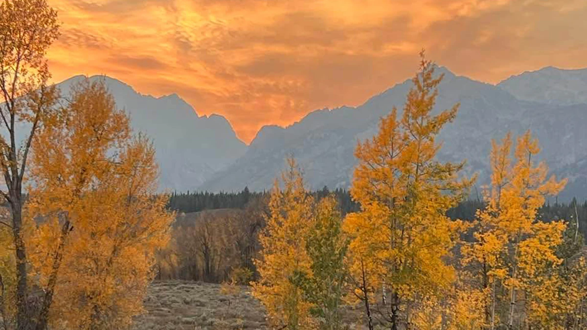 Don Day's Wyoming Weather Forecast: Wednesday, October 21, 2026
Mostly sunny to sunny in Wyoming on Wednesday. Mix of clear and cloudy skies overnight. Highs in the 60s and 70s. Lows mainly in the 30s and 40s. Casper: Gradually becoming sunny today with a high near 73 and wind gusts…
-
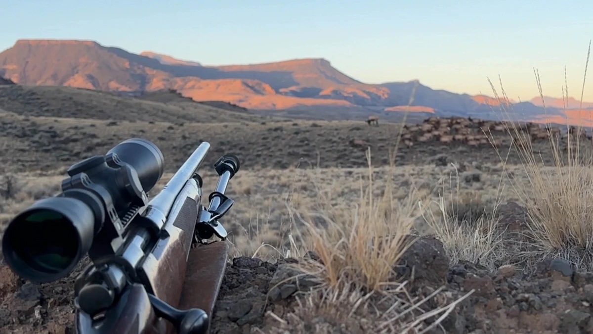 Don Day's Wyoming Weather Forecast: Tuesday, October 20, 2026
Mostly sunny to sunny in Wyoming on Tuesday. Partly cloudy to mostly clear overnight. Highs from the upper 50s to low 70s. Lows from the low 30s to mid-40s. Casper: Sunny and breezy today with a high near 69 and wind…
-
 Balmy SE Wyoming Temperatures Expected, Rain Possible Friday
Breezy conditions expected across Cheyenne and Laramie as autumn weather settles in. KGAB Balmy SE Wyoming Temperatures Expected, Rain Possible Friday The Cheyenne Office of the National Weather Service is predicting…
-
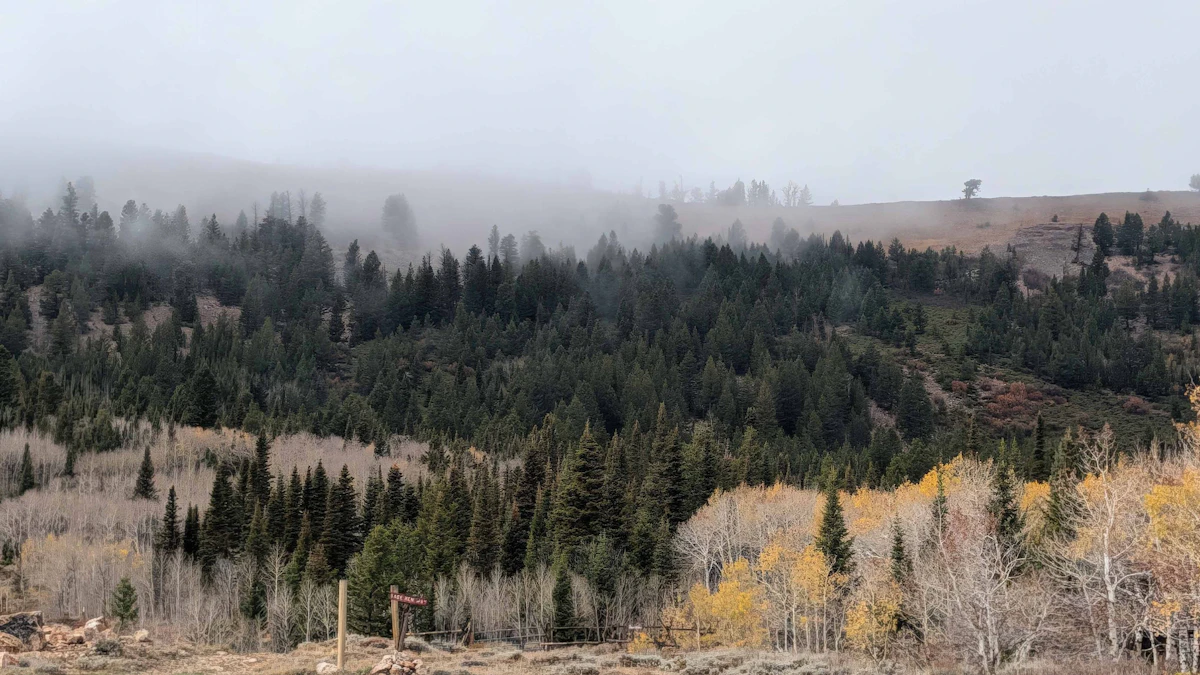 Don Day's Wyoming Weather Forecast: Monday, October 19, 2026
Mostly sunny to sunny in Wyoming on Monday and mostly clear overnight. Highs from the mid 50s to near 70. Lows mainly in the 30s and low 40s. Shoshoni: Sunny today with a high near 66 and clear overnight with a low near…
-
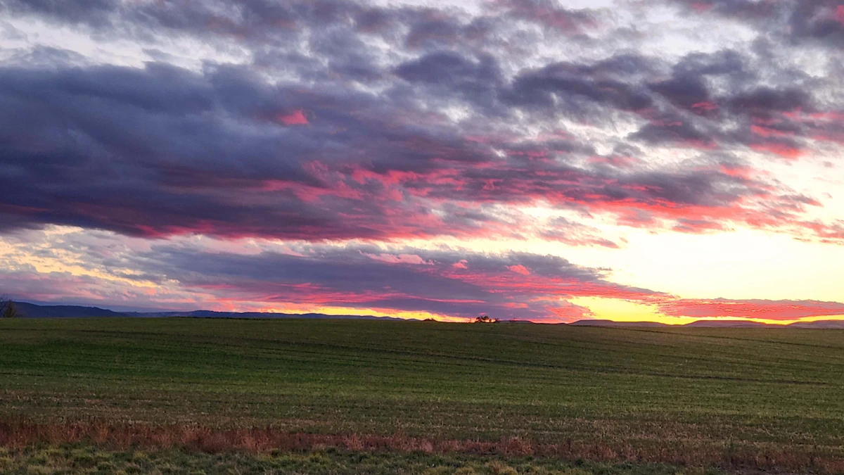 Don Day's Wyoming Weather Forecast: Sunday, October 18, 2026
Sunny in Wyoming on Sunday and partly cloudy to mostly clear overnight. Highs from the upper 50s to low 70s. Lows from the mid 20s to low 40s. Riverton: Sunny today with a high near 61 and mostly clear overnight with a…
-
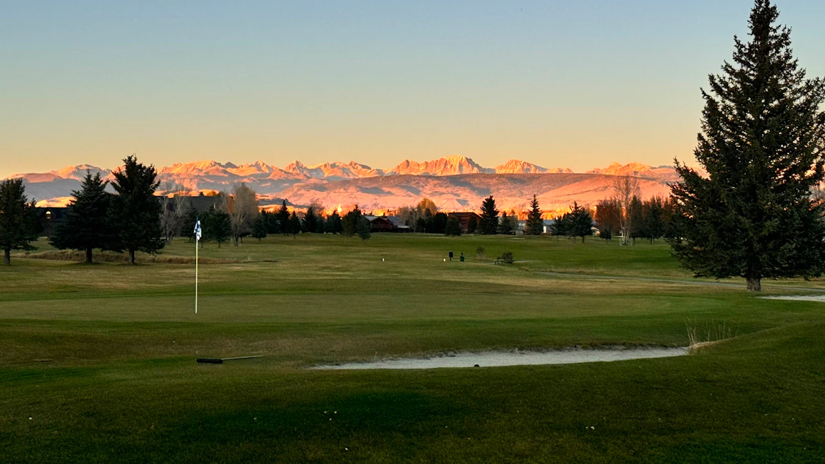 Don Day's Wyoming Weather Forecast: Saturday, October 17, 2026
Sunny in Wyoming on Saturday and mostly clear overnight. Highs from near 60 to the upper 70s. Lows from the mid 20s to mid 40s. Jeffrey City: Sunny and windy today with a high near 65 and wind gusts as high as 40 mph…
-
 High wind watch issued for southeast Wyoming after freeze today
CHEYENNE, Wyo. — A high wind watch takes effect Saturday morning for wind-prone areas of southeast Wyoming as meteorologists expect wind gusts reaching 60 mph. The National Weather Service in Cheyenne issued the watch…
-
 Former SE Wyoming Freeze Watch Now A Warning
Freezing temps in southeast Wyoming prompt reminders for outdoor plumbing precautions this week. KGAB Former SE Wyoming Freeze Watch Now A Warning What had been a Freeze Watch for Southeast Wyoming at one point has now…
-
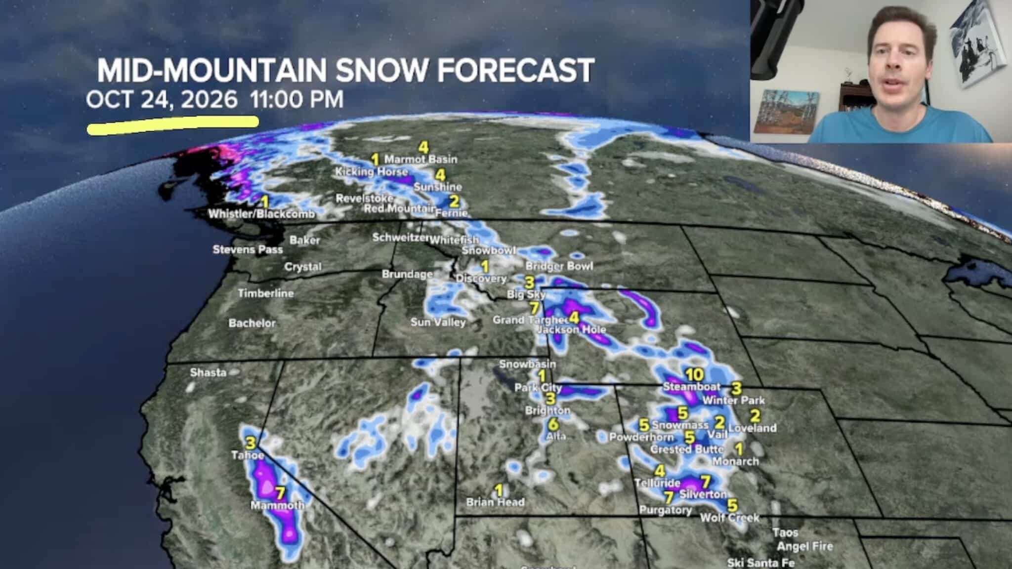 Sierra Nevada, Colorado, and Wyoming Could See A Lot More Snow Next Week
The Sierra Nevada is positioned to receive some of the highest snowfall totals in Tomer’s latest forecast. The incoming storm is expected to dig south into California, generating snowfall across the High Sierra. Tomer…
-
 Freeze Warning issued for Gillette, northeast Wyoming as temps drop into low 20s
GILLETTE, Wyo. — A Freeze Warning will take effect tonight across Campbell County as overnight temperatures drop to around 23 degrees, according to the National Weather Service in Rapid City. The warning begins at 9…
Air quality
Air quality is satisfactory, and air pollution poses little or no risk.
Douglas, WY reporting area · 1 hr ago. Data from AirNow (EPA and its state, local and tribal partners); preliminary and subject to change.
Sun & moon
Almanac
MonthlyCasper Area, records since 1939. Normals 1991–2020. Data from NOAA's Regional Climate Centers (ACIS).
Nearby
Forecasts, observations and alerts in the United States come from the National Weather Service (NOAA); radar from NOAA's Multi-Radar Multi-Sensor system; satellite imagery from NASA's Global Imagery Browse Services (GIBS) and NOAA's GOES satellites; the map from the U.S. Geological Survey's National Map; air quality from AirNow (EPA and its partners); hurricane information from the National Hurricane Center; climate normals and records from NOAA's Regional Climate Centers (ACIS). Forecasts outside the United States and the UV index: MET Norway (CC BY 4.0); observations outside the U.S.: airport reports via NOAA's Aviation Weather Center. Place names: GeoNames (CC BY 4.0). Data are copied on a schedule and may lag the sources; for warnings that affect your safety, follow your local National Weather Service office and emergency officials. Weather news is drawn from the 4Search index and reflects what the press published. Terms of use.