Install
Casper, WY 82604 Weather
Current conditions
Forecast for this hour (no station report in the last two hours)
Forecast
10-day-
Today
Mostly sunny, with a high near 72. Southwest wind 15 to 23 mph, with gusts as high as 31 mph.
-
Tonight
A slight chance of rain showers between 8pm and midnight. Mostly cloudy, with a low around 54. South southwest wind 9 to 17 mph, with gusts as high as 24 mph. Chance of precipitation is 20%. New rainfall amounts less than a tenth of an inch possible.
-
Friday
Sunny, with a high near 66. Southwest wind 20 to 38 mph, with gusts as high as 53 mph.
National Weather Service forecast updated 2 hrs ago.
Hourly
Hourly forecast- Now62°
- 12 PM65°
- 1 PM68°
- 2 PM69°
- 3 PM70°
- 4 PM70°
- 5 PM70°
- 6 PM67°0.01
- 7 PM65°11%
- 8 PM61°18%
- 9 PM59°23%
- 10 PM58°0.01
- 11 PM57°11%
- Fri12 AM56°
- 1 AM55°
- 2 AM55°
- 3 AM55°
- 4 AM55°
- 5 AM55°
- 6 AM55°
- 7 AM54°
- 8 AM56°
- 9 AM58°
- 10 AM61°
10-day forecast
Details- TodayOct 22Mostly Sunny23%54°72°
- FriOct 23Sunny35°66°
- SatOct 24Partly Sunny14%32°48°
- SunOct 25Slight Chance Rain And Snow Showers19%32°51°
- MonOct 26Mostly Sunny33°55°
- TueOct 27Mostly Sunny10%36°61°
- WedOct 28Sunny14%36°60°
- ThuOct 29Sunny29°50°
- FriOct 30Mostly sunny40°55°
- SatOct 31Mostly sunny37°55°
Days after the National Weather Service's seven are MET Norway's outlook, a computer model with no forecaster's review.
Radar
Full mapWeather news near Casper
More weather news-
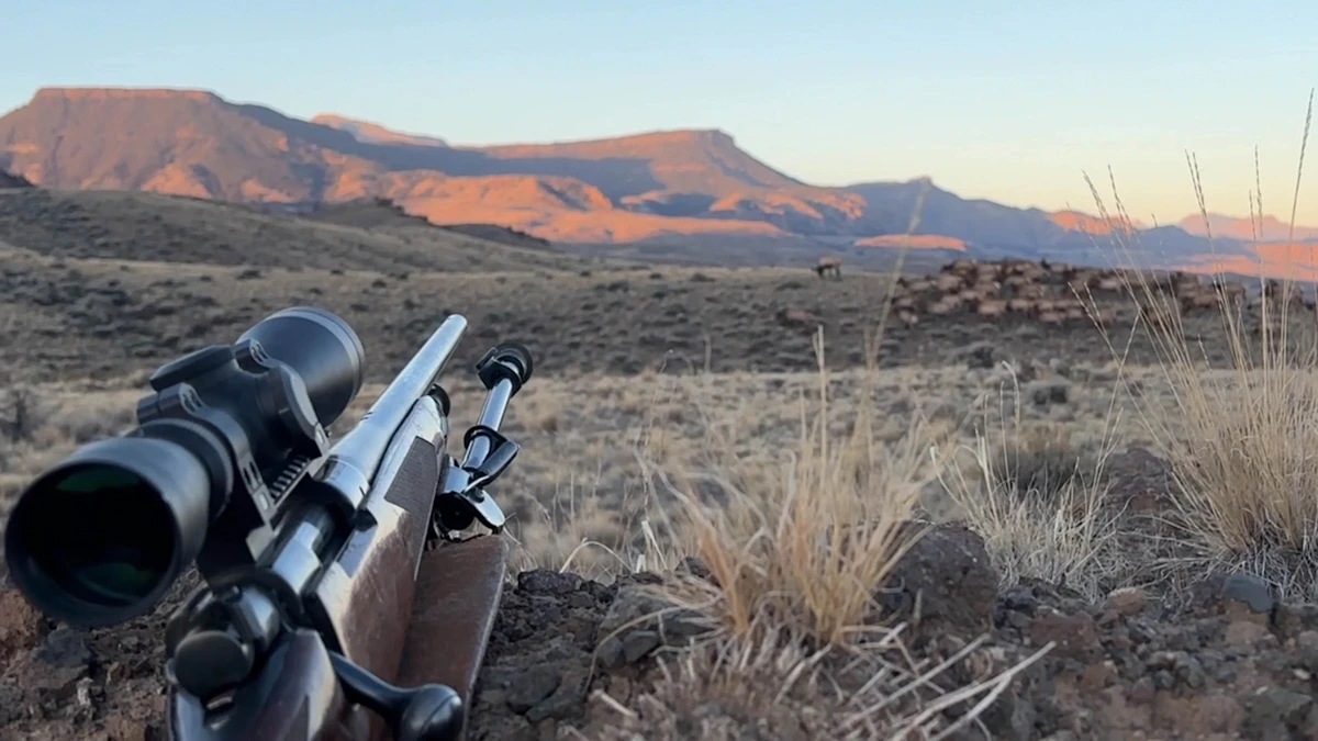 Don Day's Wyoming Weather Forecast: Tuesday, October 20, 2026
Mostly sunny to sunny in Wyoming on Tuesday. Partly cloudy to mostly clear overnight. Highs from the upper 50s to low 70s. Lows from the low 30s to mid-40s. Casper: Sunny and breezy today with a high near 69 and wind…
-
 Warm weekend expected in Natrona County ahead of mild cold front
CASPER, Wyo. — High temperatures and gusty winds will characterize the start of the weekend across Natrona County before a weak frontal boundary moderates conditions slightly by Sunday. According to the National Weather…
-
 Conditions to warm after frosty Friday morning in Casper area
Oil City News Over 3 million readers this year! CASPER, Wyo. –– Overnight freezing temperatures will make way for more mild conditions in central Wyoming. According to the National Weather Service in Riverton, a freeze…
-
 Snow graces Casper Mountain, freeze watch ahead on Thursday
Oil City News Over 3 million readers this year! CASPER, Wyo. –– Casper Mountain finally saw a shot of snow last night, and a freeze watch will go into effect tonight as a blast of early winter weather moves through the…
-
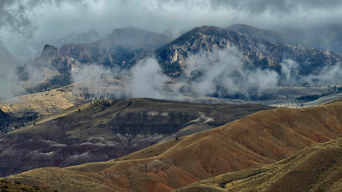 Don Day's Wyoming Weather Forecast: Thursday, October 15, 2026
Chance of morning snow or rain in parts of Wyoming on Thursday, otherwise mostly sunny. Breezy in some areas. Partly cloudy to mostly clear overnight with a freeze watch in some locations. Highs mainly in the 40s and…
-
 Dangerous Freeze Watch Warning Issued for Massive Area of Nebraska, Wyoming and Colorado
A Freeze Watch is in effect from late Thursday night through Friday morning for the Denver metro area, Colorado’s eastern plains, southeast and central Wyoming, and the Nebraska Panhandle, with lows in the 20s possible…
-
 Rainy Wednesday in Casper area, overnight mountain snow possible
Oil City News Over 3 million readers this year! CASPER, Wyo. –– Rain, snow, and possible freezing overnight temperatures are ahead this week as a cold front moves through central Wyoming. According to the National…
-
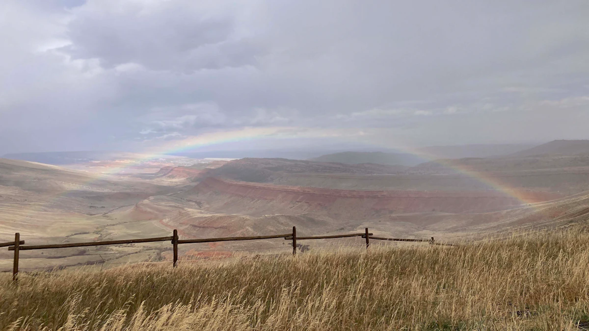 Don Day's Wyoming Weather Forecast: Wednesday, October 14, 2026
Chance of rain in much of Wyoming on Wednesday with morning fog and snow also possible in some areas. Chance of rain in much of the state overnight with some snow. Highs from the low 40s to low 60s. Lows from the low…
-
 Cooler temperatures, possible snow showers ahead in Casper area
CASPER, Wyo. –– Cooler temperatures with possible snow and rain is in store for central Wyoming, with possible snow accumulation in higher areas. According to the National Weather Service in Riverton, Tuesday will be…
-
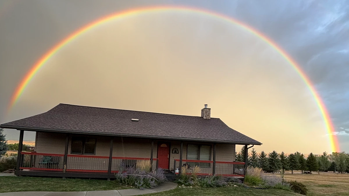 Don Day's Wyoming Weather Forecast: Thursday, October 22, 2026
Chance of rain, cloudy in parts of Wyoming on Thursday. Partly to mostly cloudy overnight with a chance of rain in some areas. Highs in the 60s and 70s. Lows from the mid 30s to mid 50s. Casper: Partly sunny and breezy…
Sun & moon
Almanac
MonthlyCasper Area, records since 1939. Normals 1991–2020. Data from NOAA's Regional Climate Centers (ACIS).
Nearby
- Mills 3 km
- Evansville 11 km
- Bar Nunn 10 km
- Glenrock 42 km
Forecasts, observations and alerts in the United States come from the National Weather Service (NOAA); radar from NOAA's Multi-Radar Multi-Sensor system; satellite imagery from NASA's Global Imagery Browse Services (GIBS) and NOAA's GOES satellites; the map from the U.S. Geological Survey's National Map; air quality from AirNow (EPA and its partners); hurricane information from the National Hurricane Center; climate normals and records from NOAA's Regional Climate Centers (ACIS). Forecasts outside the United States and the UV index: MET Norway (CC BY 4.0); observations outside the U.S.: airport reports via NOAA's Aviation Weather Center. Place names: GeoNames (CC BY 4.0). Data are copied on a schedule and may lag the sources; for warnings that affect your safety, follow your local National Weather Service office and emergency officials. Weather news is drawn from the 4Search index and reflects what the press published. Terms of use.