Install
Torrington, WY 82240 Weather
Current conditions
Observed at Torrington Municipal Airport · 1 hr ago
Forecast
10-day-
Tonight
Mostly cloudy, with a low around 46. East southeast wind 5 to 10 mph.
-
Thursday
Partly sunny. High near 79, with temperatures falling to around 77 in the afternoon. Southeast wind 0 to 10 mph.
-
Thursday Night
A slight chance of rain showers between 9pm and midnight. Mostly cloudy, with a low around 50. Southeast wind 5 to 10 mph. Chance of precipitation is 20%.
National Weather Service forecast updated 3 hrs ago.
Hourly
Hourly forecast- Now58°
- 10 PM57°
- 11 PM55°
- Thu12 AM54°
- 1 AM52°
- 2 AM51°
- 3 AM48°
- 4 AM46°
- 5 AM47°
- 6 AM48°
- 7 AM46°
- 8 AM48°
- 9 AM52°
- 10 AM59°
- 11 AM65°
- 12 PM70°
- 1 PM75°
- 2 PM77°
- 3 PM77°
- 4 PM78°
- 5 PM77°
- 6 PM74°12%
- 7 PM70°12%
- 8 PM66°12%
10-day forecast
Details- TonightOct 21Mostly Cloudy46°
- ThuOct 22Partly Sunny21%50°79°
- FriOct 23Mostly Sunny then Slight Chance Rain Showers34%41°81°
- SatOct 24Slight Chance Rain Showers then Mostly Sunny54%36°57°
- SunOct 25Chance Rain Showers44%33°53°
- MonOct 26Slight Chance Rain Showers then Partly Sunny18%32°55°
- TueOct 27Mostly Sunny34°64°
- WedOct 28Mostly Sunny64°
- ThuOct 29Mostly sunny35°52°
- FriOct 30Partly cloudy35°59°
Days after the National Weather Service's seven are MET Norway's outlook, a computer model with no forecaster's review.
Radar
Full mapWeather news near Torrington
More weather news-
 Don Day's Wyoming Weather Forecast: Wednesday, October 21, 2026
Mostly sunny to sunny in Wyoming on Wednesday. Mix of clear and cloudy skies overnight. Highs in the 60s and 70s. Lows mainly in the 30s and 40s. Casper: Gradually becoming sunny today with a high near 73 and wind gusts…
-
 Don Day's Wyoming Weather Forecast: Tuesday, October 20, 2026
Mostly sunny to sunny in Wyoming on Tuesday. Partly cloudy to mostly clear overnight. Highs from the upper 50s to low 70s. Lows from the low 30s to mid-40s. Casper: Sunny and breezy today with a high near 69 and wind…
-
 Don Day's Wyoming Weather Forecast: Sunday, October 18, 2026
Sunny in Wyoming on Sunday and partly cloudy to mostly clear overnight. Highs from the upper 50s to low 70s. Lows from the mid 20s to low 40s. Riverton: Sunny today with a high near 61 and mostly clear overnight with a…
-
 Don Day's Wyoming Weather Forecast: Saturday, October 17, 2026
Sunny in Wyoming on Saturday and mostly clear overnight. Highs from near 60 to the upper 70s. Lows from the mid 20s to mid 40s. Jeffrey City: Sunny and windy today with a high near 65 and wind gusts as high as 40 mph…
-
 Balmy SE Wyoming Temperatures Expected, Rain Possible Friday
Breezy conditions expected across Cheyenne and Laramie as autumn weather settles in. KGAB Balmy SE Wyoming Temperatures Expected, Rain Possible Friday The Cheyenne Office of the National Weather Service is predicting…
-
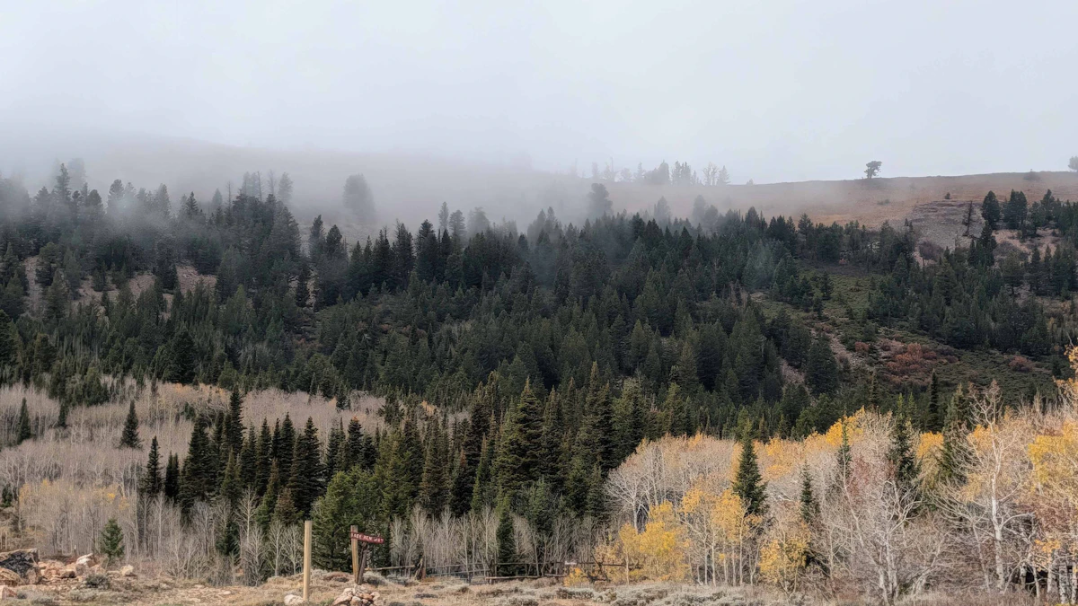 Don Day's Wyoming Weather Forecast: Monday, October 19, 2026
Mostly sunny to sunny in Wyoming on Monday and mostly clear overnight. Highs from the mid 50s to near 70. Lows mainly in the 30s and low 40s. Shoshoni: Sunny today with a high near 66 and clear overnight with a low near…
-
 High wind watch issued for southeast Wyoming after freeze today
CHEYENNE, Wyo. — A high wind watch takes effect Saturday morning for wind-prone areas of southeast Wyoming as meteorologists expect wind gusts reaching 60 mph. The National Weather Service in Cheyenne issued the watch…
-
 Former SE Wyoming Freeze Watch Now A Warning
Freezing temps in southeast Wyoming prompt reminders for outdoor plumbing precautions this week. KGAB Former SE Wyoming Freeze Watch Now A Warning What had been a Freeze Watch for Southeast Wyoming at one point has now…
-
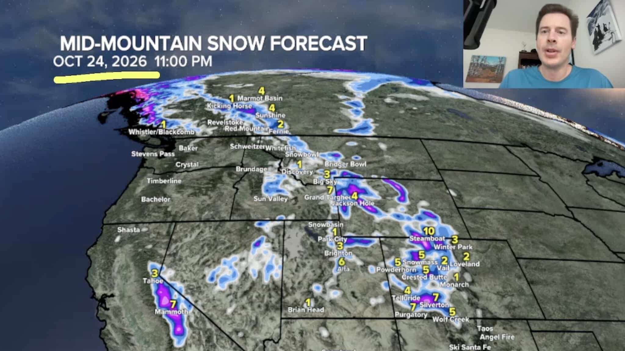 Sierra Nevada, Colorado, and Wyoming Could See A Lot More Snow Next Week
The Sierra Nevada is positioned to receive some of the highest snowfall totals in Tomer’s latest forecast. The incoming storm is expected to dig south into California, generating snowfall across the High Sierra. Tomer…
-
 Freeze Warning issued for Gillette, northeast Wyoming as temps drop into low 20s
GILLETTE, Wyo. — A Freeze Warning will take effect tonight across Campbell County as overnight temperatures drop to around 23 degrees, according to the National Weather Service in Rapid City. The warning begins at 9…
Sun & moon
Almanac
MonthlyTorrington Municipal Ap, records since 1998. Normals 1991–2020. Data from NOAA's Regional Climate Centers (ACIS).
Nearby
- Scottsbluff 49 km
- Gering 51 km
Forecasters' discussion
From the National Weather Service office in CYS, issued 7 hrs ago
Key Messages
- Above average temperatures will continue through the end of the week, but a weekend system will drop temperatures towards near to below-average.
- Precipitation possible Friday through Sunday, with the potential for frozen precipitation outside of the mountains on Sunday.
- Some clearing and warming back to near normal temperatures next week, with some low end precipitation chances mostly in the high terrain.
Short Term
Issued at 230 PM MDT Wed Oct 21 2026
The overall pattern through Thursday night should remain largely unchanged as our region will sit between two stout systems, with a deep upper level ridge over the Central US, and a deep upper level Pacific low moving inland and then slowly northeastwards. This will continue to produce a southwesterly flow that will increase moisture across the region, particularly later into Thursday and moving into the weekend. For the rest of this evening and overnight, increasing cloudiness is seen on satellite primarily across Carbon and Albany Counties where the highest influx of moisture is moving in for the day. We could see a few light showers across this area, and some earlier runs of CAMs were producing even a weak echo as far east as Laramie County, but overall probabilities are on the low side alongside low confidence.
Cloudiness will overspread the region on Thursday though as the moisture continues to increase. While this could impact afternoon highs for the western half of the forecast area, 700 mb temperatures remain at around 7-10 C which should encourage highs similar to today in the 60's to 70's. CAMs are much more excited for precipitation extending out of the high terrain tomorrow afternoon and evening, with a chance of showers across much of the I-80 corridor through Nebraska. While storm chances are largely declining as we enter the cold season, a brief swath of CAPE around 200-300 J/kg across Carbon County could encourage a rumble of thunder or two, but don't expect much out of this activity. Otherwise cloudiness should linger through the nighttime hours which will allow for overnight lows to remain on the warm side due to insulation, with upper 40's to 50's across eastern Wyoming and the Nebraska panhandle as we move into the weekend.
Long Term
Issued at 230 PM MDT Wed Oct 21 2026
On Friday the upper level Pacific system will be approaching from the southwest. Ahead of it a few impulses of mid and low level vorticity are progged to pass over the area, allowing showers to exist over mostly the intermountain areas. In addition, a jet streak of about 80-100 knots intensifies ahead of the system. The phase of the jet and impulses are somewhat mistimed to allow for more widespread precipitation. The jet will suppress the development of precipitation due to a healthy amount of positive omega below 500 mbar. The exceptions are in the Nebraska Panhandle where the entrance region of the jet may be more favorable. It also helps that this region will have more moisture and instability to work with. Skew-T profiles have about 500 MUCAPE and 60 knots of speed shear to perhaps prop up a few thunderstorms at and after peak daytime heating. No severe weather is anticipated with any storm, though small hail is a probability given the shear. The clearing cloud coverage to the east allows much of the Panhandle to reach the mid 70 to low 80s in the afternoon. Moving west, the cloud coverage increases, only allowing southeast Wyoming to make it into the mid 60s to low 70s. Overnight a cold front is expected to make its way southeast through the area. A 10 degree drop from Thursday overnight lows is likely, with lows in the mid 30s to low 40s.
Returning to the upper level system to our west. The evolution through Friday is for the trough to split and elongate. The northern portion gets picked up by a strong negatively tilted trough in Canada, while the southern end of the trough remains over the southwest. This southern lobe of the system will be the driver of more exciting weather going into Sunday and Monday.
Post front Saturday is anticipated to be breezy and partly to mostly cloudy. Winds behind the front could be fresh with gusts to 40 mph possible. A few showers are possible as they drift north from the advection activity in Colorado, but otherwise a dry day. Temperatures struggle to make it to 60, with most of us staying in the 50s. Sunday the remaining Pacific system moves northeast bringing with it more chances for precipitation. The GFS is picking up on a possible TROWL setting up over our northern counties. Temperatures are marginal for any accumulation of snow, but a mix of snow and rain at the surface is possible. At our peaks an inch or two of snow may be possible.
Following the system a ridge builds in behind it. Clearing skies and a gradual warming trend. The next storm system is being advertised in the GFS, however there are significant run to run variability in the timing and positioning of this system. The ECMWF is telling a similar story, although the system is much flatter and slower. Precipitation chances would be on the lower side with this system with not much synoptically to refill the moisture reserve ahead of the trough and not much attendant with the airmass associated with it.
Aviation
Issued at 1127 AM MDT Wed Oct 21 2026
Generally weak winds and VFR conditions expected at terminals through the forecast period. Winds stay light this afternoon between 5 to 10 knots, except at KRWL where slightly stronger winds to 15 knots are possible. High to mid level cloud coverage increases beginning this evening as an upper level system moves closer to our area from the SW. A few showers are possible at KRWL during the evening hours. CIGS lower slightly at Nebraska Panhandle terminals overnight, but staying above about 6 kft.
Forecasts, observations and alerts in the United States come from the National Weather Service (NOAA); radar from NOAA's Multi-Radar Multi-Sensor system; satellite imagery from NASA's Global Imagery Browse Services (GIBS) and NOAA's GOES satellites; the map from the U.S. Geological Survey's National Map; air quality from AirNow (EPA and its partners); hurricane information from the National Hurricane Center; climate normals and records from NOAA's Regional Climate Centers (ACIS). Forecasts outside the United States and the UV index: MET Norway (CC BY 4.0); observations outside the U.S.: airport reports via NOAA's Aviation Weather Center. Place names: GeoNames (CC BY 4.0). Data are copied on a schedule and may lag the sources; for warnings that affect your safety, follow your local National Weather Service office and emergency officials. Weather news is drawn from the 4Search index and reflects what the press published. Terms of use.