Install
Littleton, CO 80162 Weather
Current conditions
Forecast for this hour (no station report in the last two hours)
Forecast
10-day-
Thursday
A chance of rain showers after noon. Mostly cloudy. High near 61, with temperatures falling to around 57 in the afternoon. Southwest wind 6 to 9 mph. Chance of precipitation is 30%.
-
Thursday Night
A chance of rain showers before midnight. Mostly cloudy. Low around 48, with temperatures rising to around 51 overnight. Southwest wind 6 to 12 mph, with gusts as high as 21 mph. Chance of precipitation is 30%.
-
Friday
Mostly sunny, with a high near 64. Southwest wind 10 to 16 mph, with gusts as high as 25 mph.
National Weather Service forecast updated 13 hrs ago.
Hourly
Hourly forecast- Now59°30%
- 3 PM59°29%
- 4 PM60°29%
- 5 PM57°29%
- 6 PM55°27%
- 7 PM54°27%
- 8 PM52°27%
- 9 PM53°24%
- 10 PM53°24%
- 11 PM53°24%
- Fri12 AM52°13%
- 1 AM52°13%
- 2 AM52°13%
- 3 AM52°11%
- 4 AM52°11%
- 5 AM51°11%
- 6 AM51°
- 7 AM51°
- 8 AM49°
- 9 AM51°
- 10 AM56°
- 11 AM58°
- 12 PM61°
- 1 PM62°
10-day forecast
Details- TonightOct 21Cloudy48°
- TodayOct 22Mostly Cloudy then Chance Rain Showers30%48°61°
- FriOct 23Mostly Sunny40°64°
- SatOct 24Chance Rain And Snow Showers83%35°44°
- SunOct 25Chance Rain Showers60%35°44°
- MonOct 26Chance Rain Showers29%32°44°
- TueOct 27Mostly Sunny33°52°
- WedOct 28Mostly Sunny53°
- ThuOct 29Cloudy29°49°
- FriOct 30Partly cloudy28°60°
Days after the National Weather Service's seven are MET Norway's outlook, a computer model with no forecaster's review.
Radar
Full mapWeather news near Littleton
More weather news-
 Mostly sunny, mid-70s on tap in Denver metro this week
Denver7 Coloradoâs warm October stretch isnât going anywhere just yet Highs in the 70s are expected across Denver and the Front Range through Friday, with a few mountain showers and a better chance for rain in…
- When will Denver receive its first snowfall?
Cannabis calendar: Vampire dinner, pumpkin carving, costume skate party While 70-degree days have washed over Denver like a nice fall preamble, the city should have had its first snowfall by now, based on historical…
-
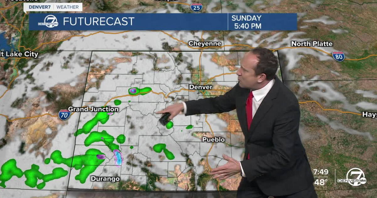 Warm and dry conditions on Sunday for metro Denver and much of Colorado
Denver7 It will be another stunner of a day from Frisco and Fort Collins to Boulder and Denver Skies will be more mixed at times today, featuring a slight increase in clouds as a weak wave moves from California into…
-
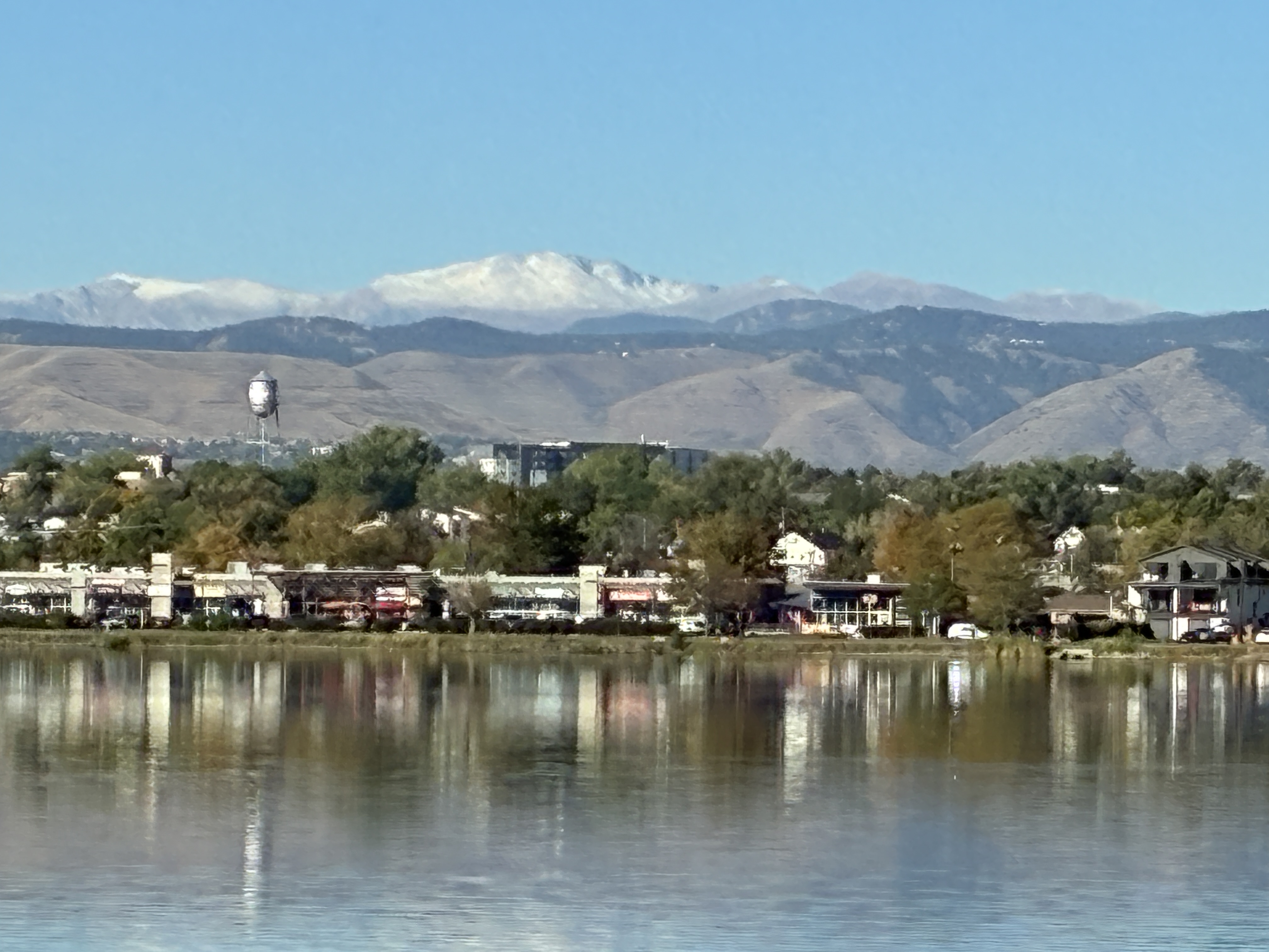 Denver still waiting on first snow as average date (October 19th) nears — Simon Roebuck (WeatherTotals.com) #snowpack
From email from Simon Roebuck: Denver has not recorded any snowfall for the 2026-27 season as of October 17, 2026. The average first measurable snow date, October 19, comes from National Weather Service Boulder records…
- Denver Basks in Balmy 70s Before Late-Week Showers Crash the Party
Denver is waking up clear and cool Sunday morning, but the chill will not last long. Temperatures should climb before topping out near 75 degrees under mostly sunny skies. The forecast calls for a cooler Monday, a…
-
 Weather Of The World: October 18
A view of the Garonne River at a historically low level due to a lack of rainfall, successive summer heat waves and the prefecture's low-water management policy in Toulouse, in southwestern France, on Oct. 14, 2026…
-
 Southern Colorado warms back above averages for the weekend
KKTV SATURDAY: Afternoon highs will be much nicer in southern Colorado in the 60s and 70s. A light breeze is expected for I-25 and much of the plains. Across the very eastern Colorado border there will be some stronger…
-
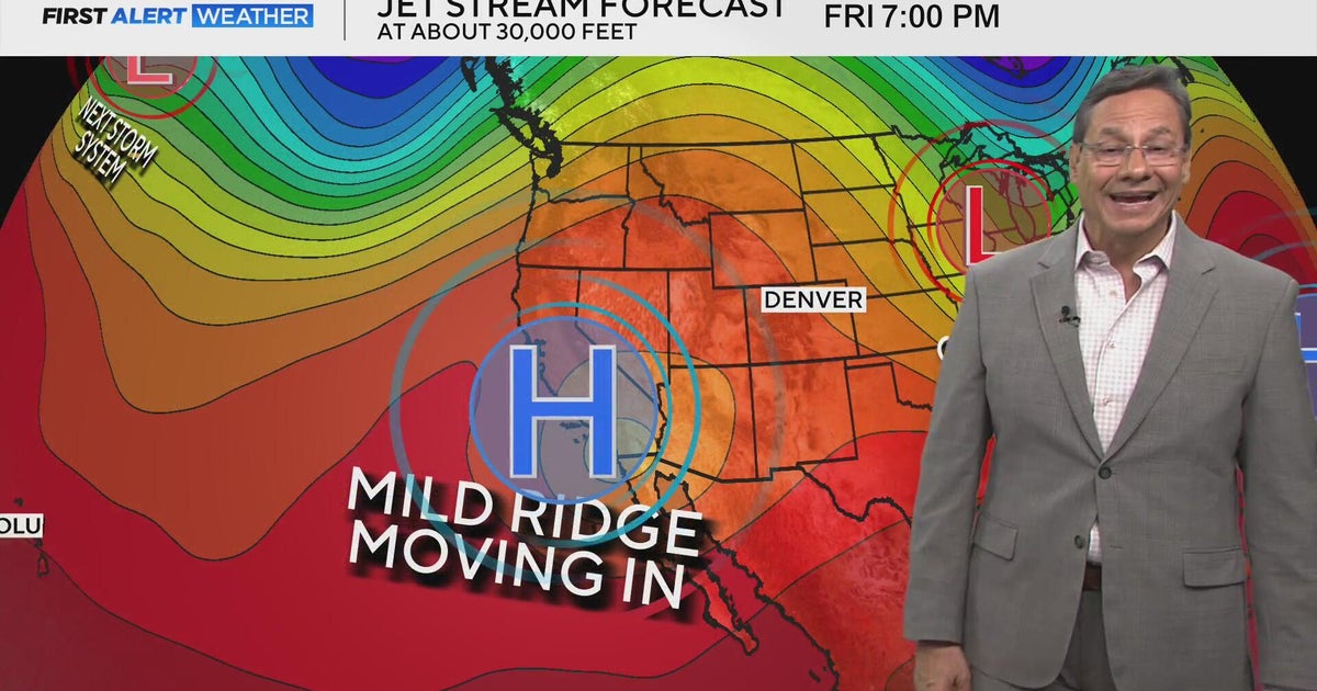 Mild mannered stretch kicks off this weekend
CBS News Mild mannered stretch kicks off this weekend CBS Colorado's Dave Aguilera shares love of meteorology with elementary school students Off-duty Colorado deputy, bystanders rescue driver from burning vehicle…
-
 Denver, much of Front Range records first freeze of the season
DENVER — Denver officially recorded its first freeze of the season Friday morning. The 9NEWS Weather Impact Team said the thermometer dropped to 28 degrees Fahrenheit at Denver International Airport, the coldest morning…
-
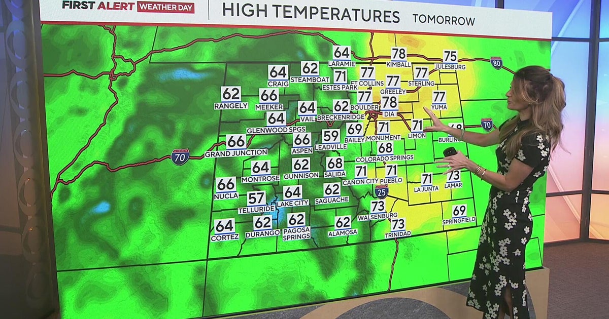 After a freezing start to the day, warmer drier weather will return to Colorado
CBS News After a freezing start to the day, warmer drier weather will return to Colorado Broomfield High School champions unified theater program Broomfield High School hosts Boo Bash to bring together community Denver…
Air quality
Acceptable. Unusually sensitive people should consider limiting prolonged outdoor exertion.
Forecast
- ThuModerate
- FriGood
Denver-Boulder, CO reporting area · 1 hr ago. Data from AirNow (EPA and its state, local and tribal partners); preliminary and subject to change.
Sun & moon
Almanac
MonthlyCheesman, records since 1902. Normals 1991–2020. Data from NOAA's Regional Climate Centers (ACIS).
Nearby
- Denver 32 km
- Aurora 41 km
- Lakewood 24 km
- Thornton 44 km
- Westminster 38 km
- Arvada 33 km
- Centennial 30 km
- Boulder 55 km
- Highlands Ranch 22 km
- Broomfield 46 km
- Castle Rock 36 km
- Commerce City 40 km
Forecasters' discussion
From the National Weather Service office in BOU, issued 9 hrs ago
Key Messages
- Warm and dry conditions continue across the lower elevations for the next few days, with scattered light rain and snow showers across the higher elevations.
- An uncertain precipitation forecast, but cooler, wetter weather likely returns this weekend.
- At least a brief warm-up likely sometime next week.
Bou Watches
None.
Forecasts, observations and alerts in the United States come from the National Weather Service (NOAA); radar from NOAA's Multi-Radar Multi-Sensor system; satellite imagery from NASA's Global Imagery Browse Services (GIBS) and NOAA's GOES satellites; the map from the U.S. Geological Survey's National Map; air quality from AirNow (EPA and its partners); hurricane information from the National Hurricane Center; climate normals and records from NOAA's Regional Climate Centers (ACIS). Forecasts outside the United States and the UV index: MET Norway (CC BY 4.0); observations outside the U.S.: airport reports via NOAA's Aviation Weather Center. Place names: GeoNames (CC BY 4.0). Data are copied on a schedule and may lag the sources; for warnings that affect your safety, follow your local National Weather Service office and emergency officials. Weather news is drawn from the 4Search index and reflects what the press published. Terms of use.