Install
Colorado City, TX 79512 Weather
Current conditions
Observed at Snyder, Winston Field Airport · 48 min ago
Forecast
10-day-
Monday
A chance of rain showers between 7am and 1pm, then a chance of showers and thunderstorms. Mostly cloudy, with a high near 75.
-
Monday Night
A chance of showers and thunderstorms. Mostly cloudy, with a low around 59.
-
Tuesday
A chance of showers and thunderstorms before 1pm, then a slight chance of showers and thunderstorms. Partly sunny, with a high near 76.
National Weather Service forecast updated 3 days ago.
Hourly
Hourly forecast- Now67°27%
- 12 PM70°27%
- 1 PM72°27%
- 2 PM73°27%
- 3 PM74°27%
- 4 PM74°27%
- 5 PM74°27%
- 6 PM73°27%
- 7 PM71°38%
- 8 PM69°38%
- 9 PM67°38%
- 10 PM65°38%
- 11 PM64°38%
- Tue12 AM63°38%
- 1 AM63°38%
- 2 AM62°38%
- 3 AM62°38%
- 4 AM61°38%
- 5 AM60°38%
- 6 AM60°38%
- 7 AM60°30%
- 8 AM61°30%
- 9 AM62°30%
- 10 AM64°30%
10-day forecast
Details- TonightOct 22Mostly Cloudy61°
- FriOct 23Mostly Sunny61°83°
- SatOct 24Mostly Cloudy64°80°
- SunOct 25Mostly Cloudy then Slight Chance Rain Showers19%61°77°
- TodayOct 26Chance Rain Showers38%59°75°
- TueOct 27Chance Showers And Thunderstorms38%59°76°
- WedOct 28Mostly Sunny20%59°77°
- ThuOct 29Chance Rain Showers26%76°
- FriOct 30Heavy rain0.43 in62°67°
- SatOct 31Light showers0.07 in60°75°
Days after the National Weather Service's seven are MET Norway's outlook, a computer model with no forecaster's review.
Radar
Full mapWeather news near Colorado City
More weather news-
 Denver still waiting on first snow as average date (October 19th) nears — Simon Roebuck (WeatherTotals.com) #snowpack
From email from Simon Roebuck: Denver has not recorded any snowfall for the 2026-27 season as of October 17, 2026. The average first measurable snow date, October 19, comes from National Weather Service Boulder records…
-
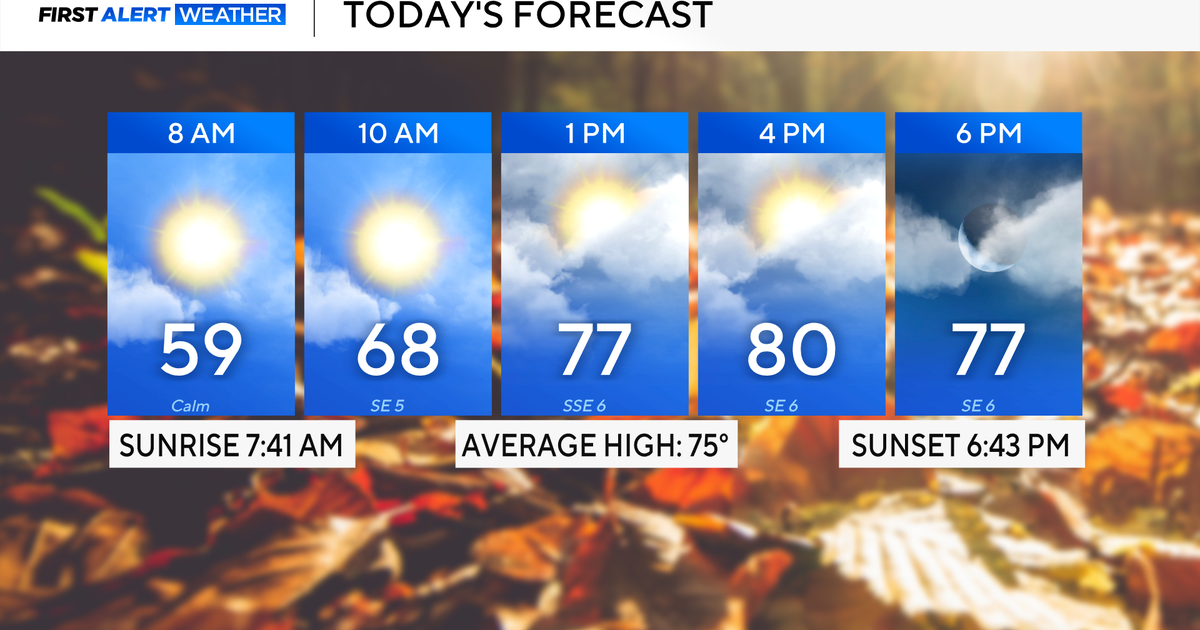 Rain chances on the rise for North Texas this week
October 26, 2026 / 8:16 AM CDT / CBS Texas North Texas woke up to partly to mostly cloudy skies and high temperatures in the 50s and 60s. You'll want to grab that light jacket as you head out the door. We'll continue to…
-
 Severe storms may bring flooding to Texas this week
Heavy rain is likely to continue across the Texas Panhandle on Oct. 26, 2026, bringing even a possibility of flash flooding, per the National Weather Service. After a rainy Sunday, wet weather will likely continue to…
-
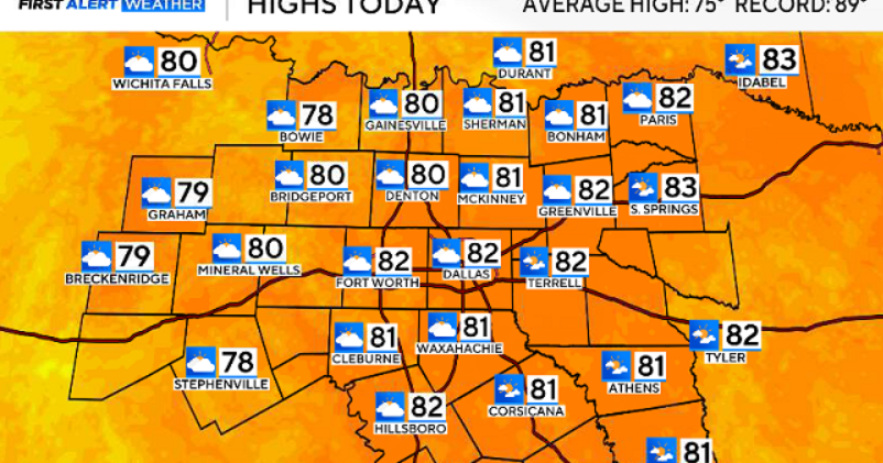 North Texas gets a warm, mild Sunday ahead of clouds and wind this week
October 25, 2026 / 6:51 AM CDT / CBS Texas Expect a warm and dry stretch of weather in North Texas over the next few days, with highs staying in the 80s, but we will see a pattern change as rain chances move in around…
-
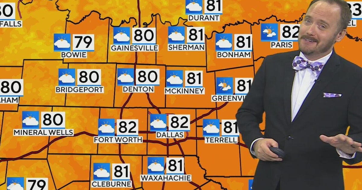 Warm, mild Sunday ahead for North Texas
CBS News Bay Area Morning Edition Weekend 6am WBZ This Morning 8am CBS Colorado Mornings Weekend CBS News Los Angeles Weekend 6am CBS Miami News Sunday Morning CBS News New York Sunday 8am KDKA News This Morning Sunday…
-
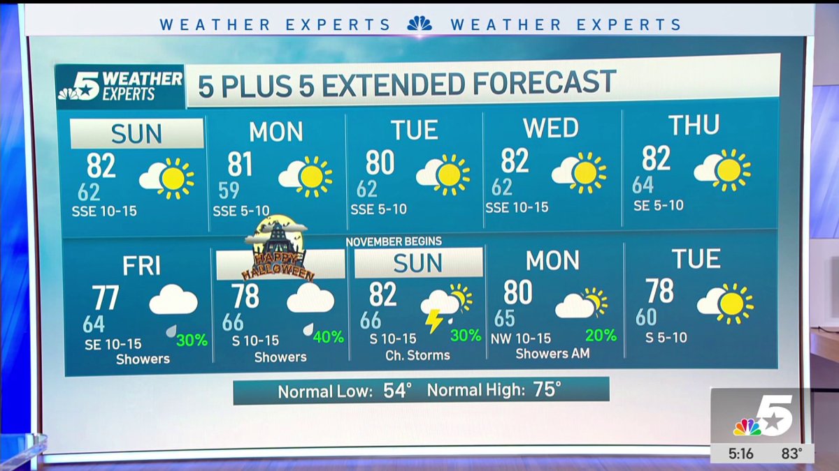 NBC 5 Forecast: A quiet weather pattern continues for North Texas
NBC 5 Dallas-Fort Worth NBC 5 Forecast: A quiet weather pattern continues for North Texas NBC 5 Forecast: Above normal temps, but still nice NBC 5 Forecast: Cool mornings and pleasant afternoons for North Texas
-
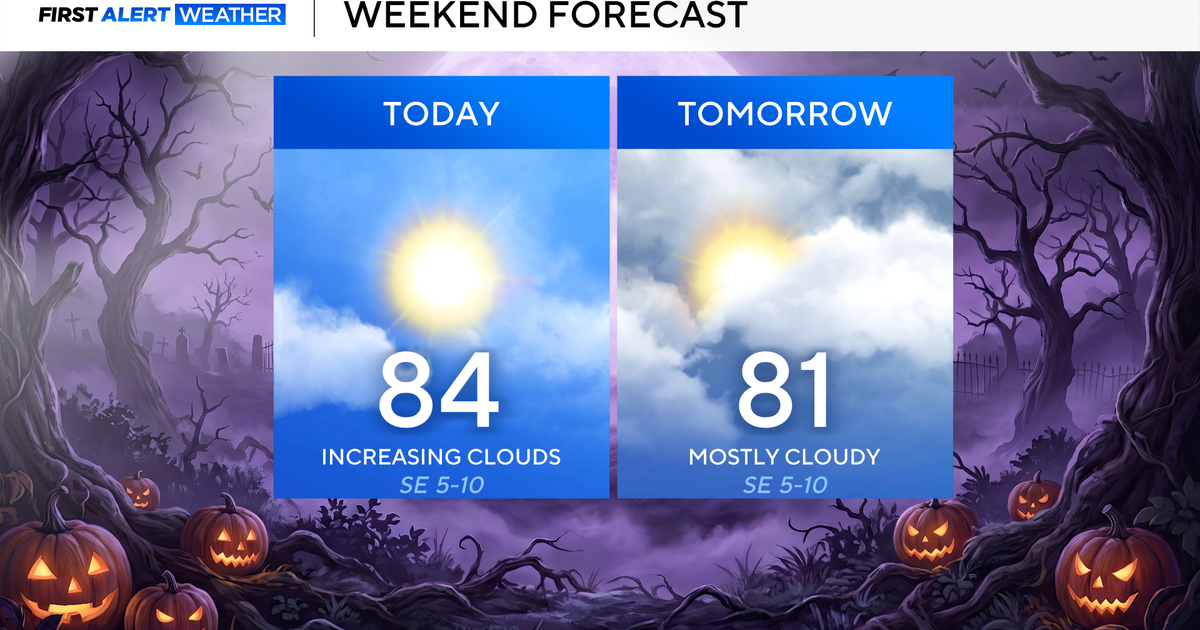 North Texas seeing rain chances return next week
October 24, 2026 / 7:21 AM CDT / CBS Texas North Texas was off to a seasonable start on Saturday morning, with temperatures mainly in the 50s. Temperatures will remain above average this weekend, with highs in the lower…
-
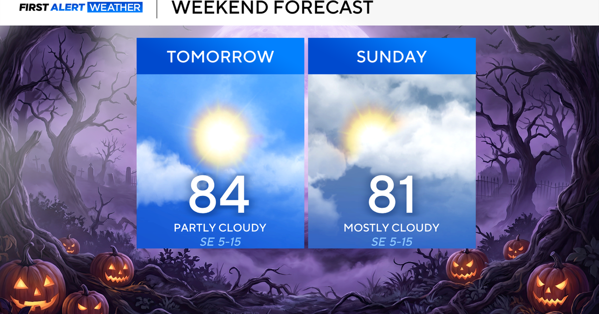 Clouds build in over the weekend as temperatures stay above average in the 80s across North Texas
October 23, 2026 / 8:00 AM CDT / CBS Texas North Texans are waking up to temperatures mainly in the 50s and 60s on Friday morning, with some clouds across portions of the area. In the afternoon and into the weekend…
- Video: What the Super El Niño Means for Texas This Winter
The Gilmer Mirror
-
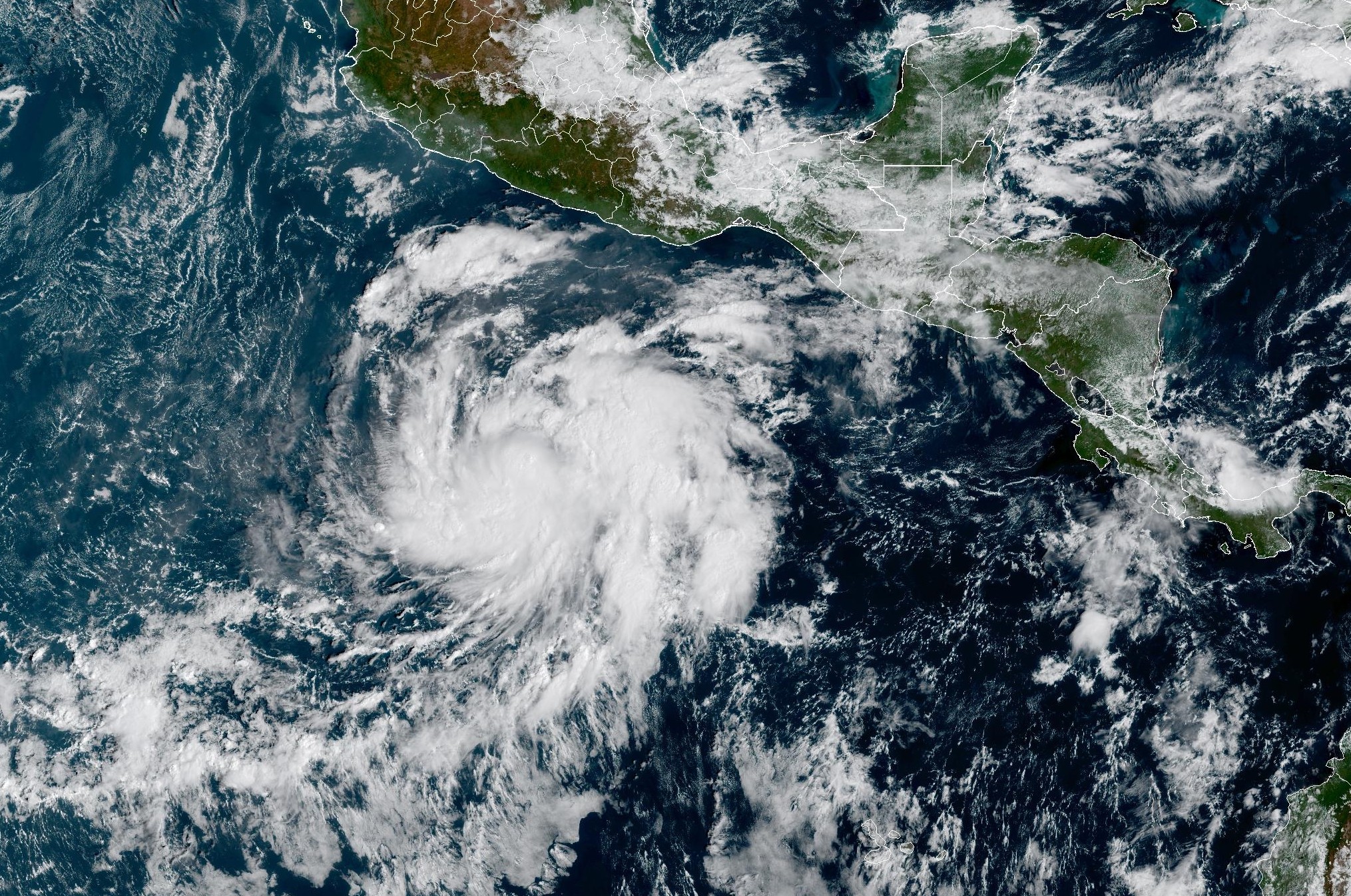 Tropical Storm Vance forms near Mexico. Will it affect Texas?
From there, some weather models show that moisture from Vance could move into parts of South Texas, bringing enhanced rain chances to places like the Rio Grande Valley, San Antonio, and Corpus Christi. Exactly when…
Sun & moon
Almanac
MonthlySnyder, records since 1911. Normals 1991–2020. Data from NOAA's Regional Climate Centers (ACIS).
Nearby
- Snyder 36 km
- Sweetwater 43 km
Forecasters' discussion
From the National Weather Service office in MAF, issued 5 hrs ago
Key Messages
Updated at 614 AM CDT Mon Oct 26 2026
- Scattered showers and thunderstorms develop across west Texas and southeast New Mexico today. Chances for most locations range from 30-60%. Rain chances decrease sharply by early Tuesday morning.
- Drier weather expected Tuesday and Wednesday before additional chances of rain return by late this week.
- Near-to-below normal temperatures are expected today. Warmer conditions are expected Tuesday through much of the week.
Short Term
(Today through Tuesday afternoon) Issued at 130 AM CDT Mon Oct 26 2026
An upper-level trough that is currently centered just east of the Four Corners region ejects to the northeast today. As this occurs, shortwaves in the southwesterly flow aloft will move across southeast New Mexico and west Texas. For the past couple of days, the best lift, and therefore most of the rain, has been mainly across southeast New Mexico and far west Texas, with the eastern half of the area seeing little rain outside of some isolated light showers yesterday afternoon. However, today's setup favors increased chances of measurable rainfall across most of the area. Most of these additional showers and thunderstorms (besides any remnant convection that may be ongoing from earlier this morning) will start to develop later in the morning, and will continue to develop across the area through the afternoon and evening. Chances range from 30- 60% for most locations, up to 70% for parts of the Permian Basin and Lower Trans-Pecos. Once again, somewhat modest CAPE and reduced shear will help limit the severe threat (though a couple of strong to marginally severe storms cannot be ruled out). Atmospheric moisture remains unseasonably high (within the 90-99th percentile), so some storms may also produce heavy rainfall leading to localized flash flooding.
Shower and storm chances plummet by early Tuesday morning as the trough moves beyond our area. Most locations stay dry tomorrow, though models hint that some isolated convection may develop in/near the Davis Mountains (10-20% chances). Behind the trough, temperatures start to warm again. Whereas highs today top out in the upper 60s and low-to-mid 70s, highs Tuesday climb back into the mid- to-upper 70s and low 80s. Lows fall into the 50s for most locations Tuesday morning. Warmer and drier conditions hang around through the beginning of the Long Term before yet another system heads our way by the end of the week.
Sprang
Long Term
(Tuesday night through Sunday) Issued at 130 AM CDT Mon Oct 26 2026
Drier and warmer conditions continue on Wednesday as heights rise slightly behind the shortwave that is expected to pass overhead today. However, the broad upper-level trough across the western CONUS deepens, putting our area under southwest flow aloft. Several shortwaves moving within the flow yield medium to high (40- 80%) chances of showers and thunderstorms early Thursday morning through Thursday night. Forecast soundings per ensemble guidance continues to depict PWAT values in the 1.0"-1.5" range (> 90th percentile), particularly across the eastern half of our CWA. This suggests a favorable environment for potentially heavy rainfall that could lead to localized flash flooding. However, details remain unclear at this time given uncertainty in where the best lift and moisture quality will setup.
By Friday, southwesterly flow aloft remains the dominant feature through at least Saturday, but the bulk of shortwave disturbances begin to move east. This maintains a low (10-40%) chance of showers and thunderstorms across the forecast area during this timeframe. The assistance of surface troughing and upslope flow yield locally higher probabilities (40-60%) over parts of the higher terrain Friday night. Long-range guidance shows the upper-level pattern changing to quasi-zonal flow aloft, but a low (10-20%) chance of rain remains in the forecast across our northern zones for now.
Greening
Aviation
(12Z TAFS) Issued at 614 AM CDT Mon Oct 26 2026
Showers and thunderstorms are ongoing at HOB, INK, PEQ, and FST. Additional rounds of scattered showers and storms are still expected later this morning into the afternoon. As a result of the scattered nature of convection (and trends being observed currently on radar), PROB30s have been included at all sites for -TSRA. MVFR CIGs are still observed at most sites (save FST and CNM). These CIGs are expected to continue to develop and persist through the afternoon, mainly at HOB, INK, MAF, and CNM. By 19-21Z, generally VFR conditions are expected outside of any SHRA and TSRA. Southeasterly winds will be lighter today than in previous days (generally sustained around 10-15 kts).
Forecasts, observations and alerts in the United States come from the National Weather Service (NOAA); radar from NOAA's Multi-Radar Multi-Sensor system; satellite imagery from NASA's Global Imagery Browse Services (GIBS) and NOAA's GOES satellites; the map from the U.S. Geological Survey's National Map; air quality from AirNow (EPA and its partners); hurricane information from the National Hurricane Center; climate normals and records from NOAA's Regional Climate Centers (ACIS). Forecasts outside the United States and the UV index: MET Norway (CC BY 4.0); observations outside the U.S.: airport reports via NOAA's Aviation Weather Center. Place names: GeoNames (CC BY 4.0). Data are copied on a schedule and may lag the sources; for warnings that affect your safety, follow your local National Weather Service office and emergency officials. Weather news is drawn from the 4Search index and reflects what the press published. Terms of use. How to use Weather